Hill of Hilton

Hill, Mountain in Aberdeenshire

Scotland

Hill of Hilton

Horse at Knockiemill Single horse in a field by the roadside to the north of Knockiemill.
Horse at Knockiemill Credit: Scott Cormie

Hill of Hilton is a prominent hill located in Aberdeenshire, Scotland. With an elevation of approximately 359 meters (1,178 feet), it is a prominent feature in the landscape of the region. The hill is situated near the village of Hilton and offers breathtaking panoramic views of the surrounding countryside.

Hill of Hilton is primarily composed of granite, which is a common geological feature in the area. It is covered in heather, giving it a distinctive purple hue during the summer months when the plant is in bloom. The hill is also home to a variety of wildlife, including birds, such as pheasants and grouse, as well as rabbits and occasional deer.

The hill is a popular destination for outdoor enthusiasts and nature lovers. There are several walking trails that lead to the summit, offering visitors the opportunity to enjoy the natural beauty of the area. The ascent is moderate, making it accessible to people of various fitness levels.

At the top of Hill of Hilton, there is a trig point, which serves as a marker for surveying purposes. This spot provides stunning views of the surrounding countryside, including the rolling hills, farmland, and nearby forests. On clear days, it is even possible to see the distant peaks of the Cairngorms National Park.

Overall, Hill of Hilton is a picturesque and accessible hill in Aberdeenshire, attracting locals and tourists alike with its scenic beauty and tranquil environment.

If you have any feedback on the listing, please let us know in the comments section below.

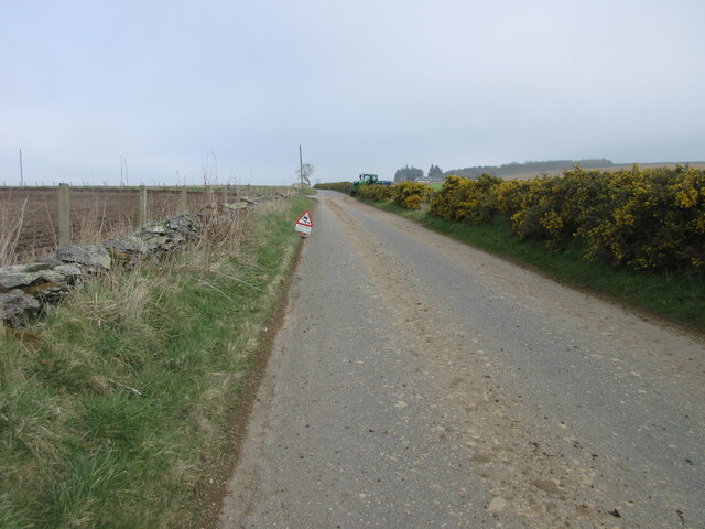
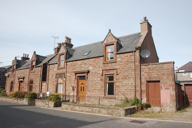
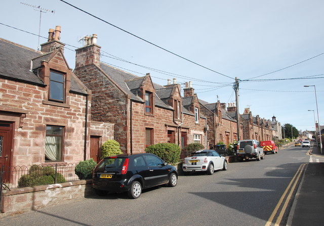
Hill of Hilton Images

Images are sourced within 2km of 57.556614/-2.4592303 or Grid Reference NJ7251. Thanks to Geograph Open Source API. All images are credited.

Horse at Knockiemill Single horse in a field by the roadside to the north of Knockiemill.
Horse at Knockiemill
Single horse in a field by the roadside to the north of Knockiemill.
Farm building at Luncarty Looking west from the roadside to farm buildings at Luncarty.
Farm building at Luncarty
Looking west from the roadside to farm buildings at Luncarty.
C5S (Aberdeenshire) Road south of Luncarty Section of the C5S road between bends south of Luncarty.
C5S (Aberdeenshire) Road south of Luncarty
Section of the C5S road between bends south of Luncarty.
Knockiemill Cottages Knockiemill Cottages viewed from the south.
Knockiemill Cottages
Knockiemill Cottages viewed from the south.
Dry mud on the C5S (Aberdeenshire) Road Mud on the road with farming taking place near Claymires to the north of Turriff.
Dry mud on the C5S (Aberdeenshire) Road
Mud on the road with farming taking place near Claymires to the north of Turriff.
Turriff Primary School Looking south-west to Turriff Primary School on the northern outskirts of the town.
Turriff Primary School
Looking south-west to Turriff Primary School on the northern outskirts of the town.
Market Street, Turriff Looking south down Market Street in Turriff.
Market Street, Turriff
Looking south down Market Street in Turriff.
Markethill Trig Pillar The triangulation pillar hidden away on the north side of a water treatment compound at Markethill on the north-east outskirts of Turriff.
Markethill Trig Pillar
The triangulation pillar hidden away on the north side of a water treatment compound at Markethill on the north-east outskirts of Turriff.
Roadside Scrub A mixture of scrub and trees by the roadside and a small steam running through it.
Roadside Scrub
A mixture of scrub and trees by the roadside and a small steam running through it.
Ashogle Road The tree lined road leading to the Haughs of Ashogle in the distance.
Ashogle Road
The tree lined road leading to the Haughs of Ashogle in the distance.
Church hall, Gladstone Terrace, Turriff
Former(?) masonic lodge, Gladstone Terrace, Turriff 1924 on the date-stone: unusually built in Aberdeen granite rather than Turriff sandstone. At least part of the building is now occupied by the Citizen's Advice Bureau.
Former(?) masonic lodge, Gladstone Terrace, Turriff
1924 on the date-stone: unusually built in Aberdeen granite rather than Turriff sandstone. At least part of the building is now occupied by the Citizen's Advice Bureau.
St Ninian and Forglen kirk, Turriff Built 1795 to replace St Congan's kirk about 300 metres south and modified and extended over the years.  The fine bellcote from 1875 pays tribute to its predecessor at St Congan's.  B-listed (LB42162): <span class="nowrap"><a title="http://portal.historicenvironment.scot/designation/LB42162" rel="nofollow ugc noopener" href="http://portal.historicenvironment.scot/designation/LB42162">Link</a><img style="margin-left:2px;" alt="External link" title="External link - shift click to open in new window" src="https://s1.geograph.org.uk/img/external.png" width="10" height="10"/></span> .
St Ninian and Forglen kirk, Turriff
Built 1795 to replace St Congan's kirk about 300 metres south and modified and extended over the years. The fine bellcote from 1875 pays tribute to its predecessor at St Congan's. B-listed (LB42162): LinkExternal link .
Red sandstone villas, Gladstone Terrace, Turriff
Turriff trio A fine sandstone villa, a pair of semi-detached ex-council houses(?) and the former masonic lodge on Gladstone Terrace, Turriff.
Turriff trio
A fine sandstone villa, a pair of semi-detached ex-council houses(?) and the former masonic lodge on Gladstone Terrace, Turriff.
Gladstone Terrace3, Turriff This is main route out of Turriff to the west and very busy with traffic (note the lack of pavement to the left).
Gladstone Terrace3, Turriff
This is main route out of Turriff to the west and very busy with traffic (note the lack of pavement to the left).
Minor road at Luncarty Looking southward.
Minor road at Luncarty
Looking southward.
Minor road crossing Luncarty Bridge Looking northward. Both parapets appear to have suffered damage in recent times - fortunately not sufficient enough to close the bridge.
This is how the bridge looked in 2010 : <a title="https://www.geograph.org.uk/photo/2070914" href="https://www.geograph.org.uk/photo/2070914">Link</a>
Minor road crossing Luncarty Bridge
Looking northward. Both parapets appear to have suffered damage in recent times - fortunately not sufficient enough to close the bridge. This is how the bridge looked in 2010 : Link
Show me another place!

Hill of Hilton is located at Grid Ref: NJ7251 (Lat: 57.556614, Lng: -2.4592303)

Unitary Authority: Aberdeenshire

Police Authority: North East

What 3 Words

///fries.return.fools. Near Turriff, Aberdeenshire

Nearby Locations

Hill of Hilton

Related Wikis

Turriff

Turriff (from Scottish Gaelic Torraibh 'place of round hills') is a town and civil parish in Aberdeenshire in Scotland. It lies on the River Deveron,...

Turriff Castle

Turriff Castle was a tower house, on Castlegate, Turriff, north of Idoch Water, Aberdeenshire, Scotland. The castle was also called Tower of Torrey of...

Turriff Cottage Hospital

Turriff Cottage Hospital is a community hospital in Turriff, Aberdeenshire, Scotland. It is managed by NHS Grampian. == History == The hospital was designed...

Turriff Academy

Turriff Academy is a non denominational comprehensive co-educational secondary school located in Turriff, Aberdeenshire, Scotland. It serves a large catchment...

Turriff United F.C.

Turriff United Football Club are a senior football club currently playing in the Highland Football League in Scotland. They play their matches at The Haughs...

Turriff railway station

Turriff railway station was a railway station in Turriff, Aberdeenshire, Scotland. It was opened in 1857 by the Banff Macduff & Turriff Junction Railway...
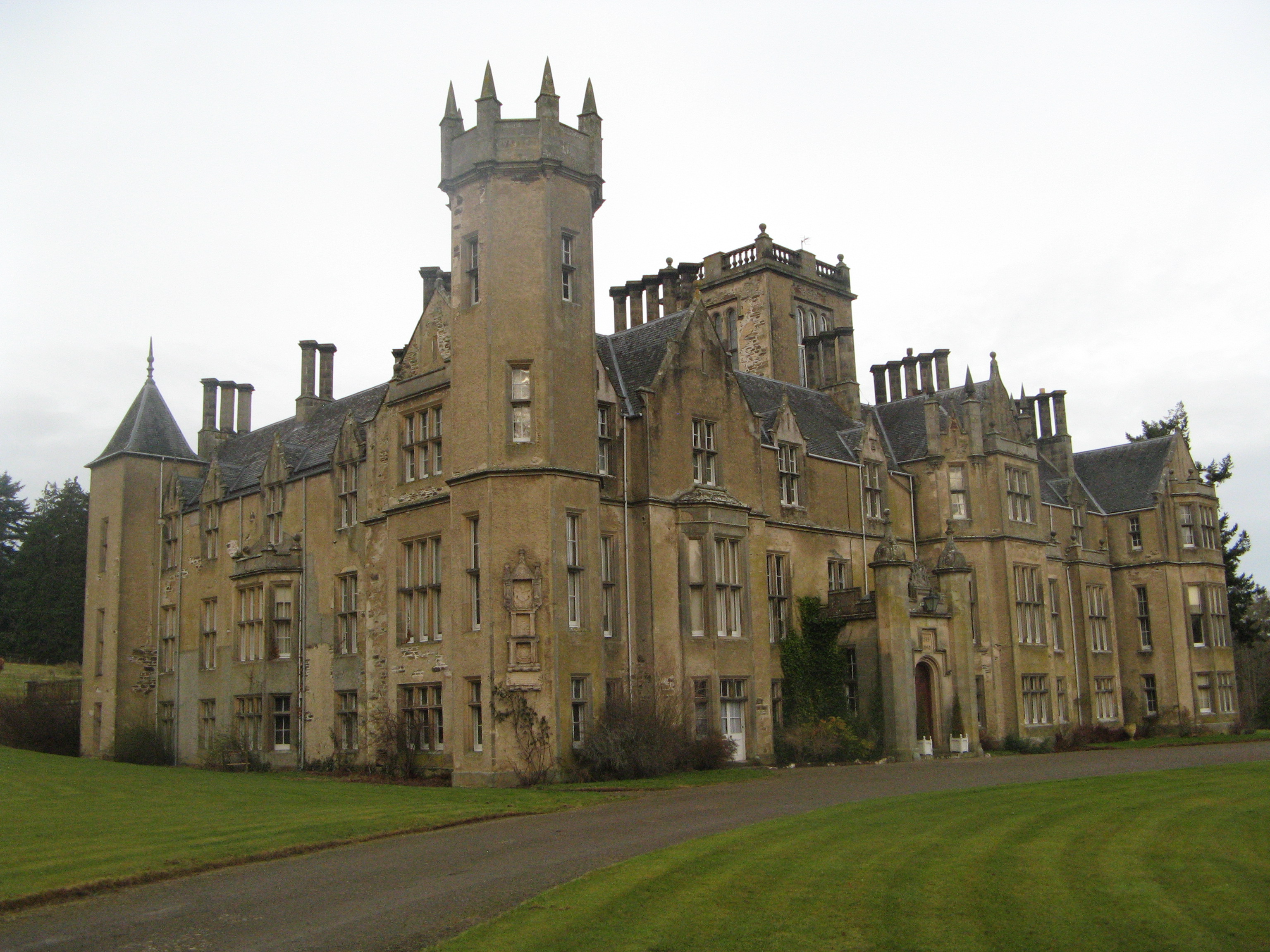
Forglen House

Forglen House is a mansion house that forms the centrepiece of the Forglen estate in the parish of Forglen, north-west of Turriff, Aberdeenshire, in the...

Plaidy railway station

Plaidy railway station was a railway station at Plaidy, Aberdeenshire, Scotland on the rural branchline to Macduff. It was opened in 1860 by the Banff...

Nearby Amenities

Located within 500m of 57.556614,-2.4592303
Power: pole
Lat/Long: 57.5582414/-2.4516829
The data included in this document is from www.openstreetmap.org. The data is made available under ODbL.

Have you been to Hill of Hilton?

Leave your review of Hill of Hilton below (or comments, questions and feedback).