Crow Hill

Hill, Mountain in East Lothian

Scotland

Crow Hill

Wester Dod Trig point on the eastern edge of Lammermuir moorland. View to the east coast.
Wester Dod Credit: Richard Webb

Crow Hill is a prominent hill situated in East Lothian, Scotland. It is located approximately 20 miles east of the capital city, Edinburgh. Rising to a height of 364 meters (1,194 feet), it is considered a significant landmark in the area. Crow Hill is part of the Southern Uplands range, which stretches across southern Scotland.

The hill is characterized by its distinct shape and steep slopes, covered in heather and scattered with rocky outcrops. It offers breathtaking panoramic views of the surrounding countryside, including the rolling hills and farmland of East Lothian, the Firth of Forth, and even the distant peaks of the Pentland Hills. On clear days, it is possible to catch a glimpse of the North Sea shimmering in the distance.

Due to its accessibility and picturesque setting, Crow Hill attracts both locals and tourists alike. It is a popular destination for outdoor enthusiasts, offering opportunities for hiking, walking, and birdwatching. The hill is home to a variety of bird species, including skylarks and meadow pipits, making it an ideal spot for birdwatchers to observe and appreciate Scotland's diverse wildlife.

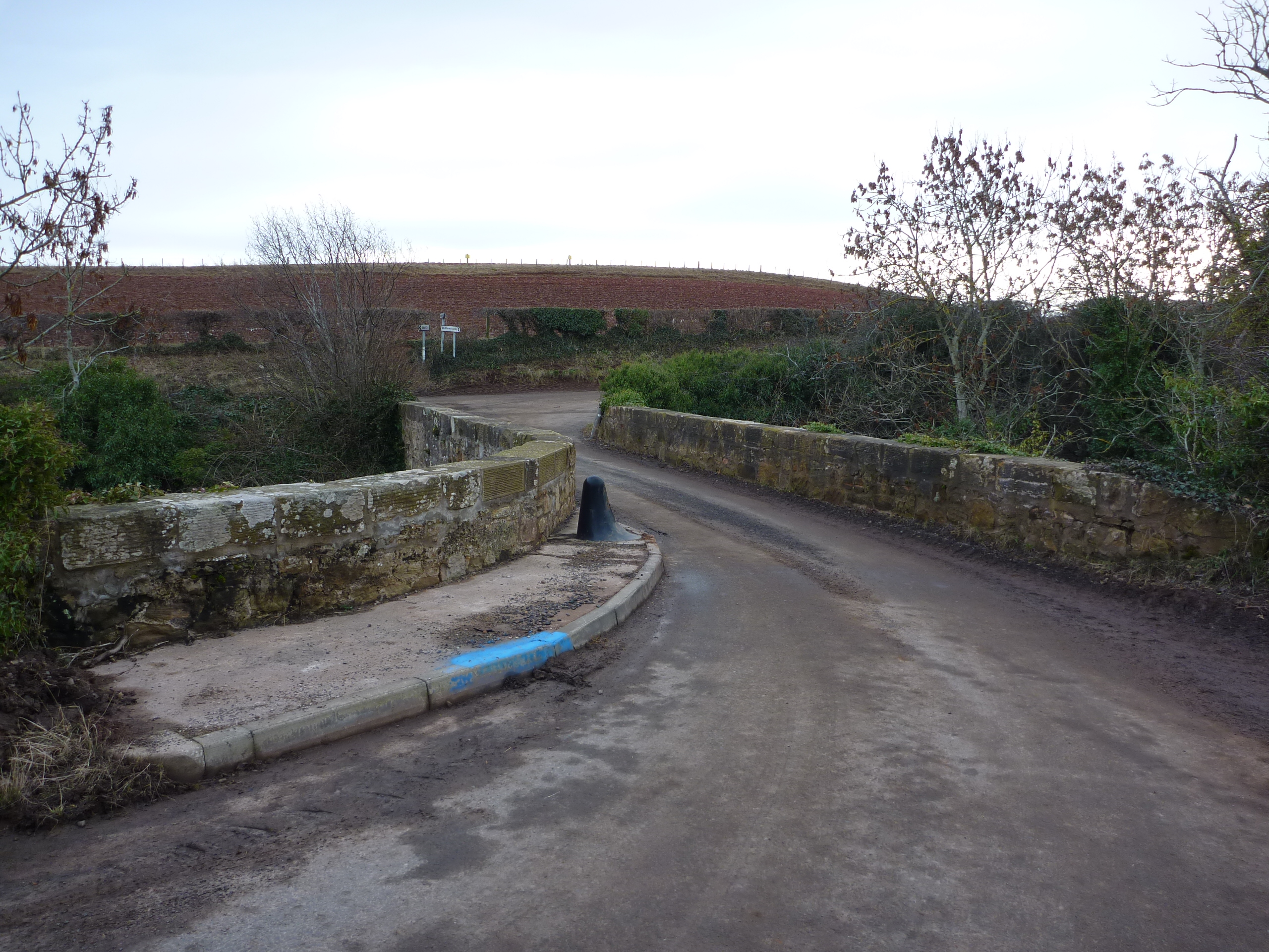
Crow Hill is easily reached by road, with a car park located at the base of the hill. From there, a well-maintained path leads visitors to the summit, where they can soak in the stunning views and enjoy the tranquility of the Scottish countryside. Whether seeking a peaceful escape or an adventurous hike, Crow Hill provides an unforgettable experience for nature lovers and outdoor enthusiasts in East Lothian.

If you have any feedback on the listing, please let us know in the comments section below.
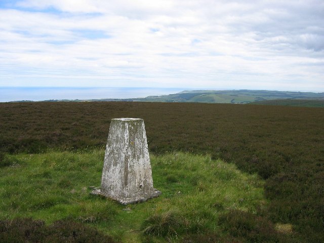
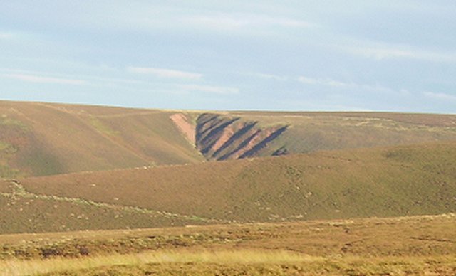
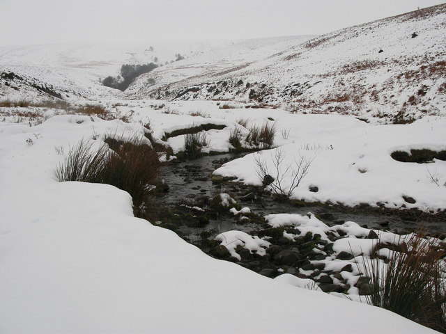
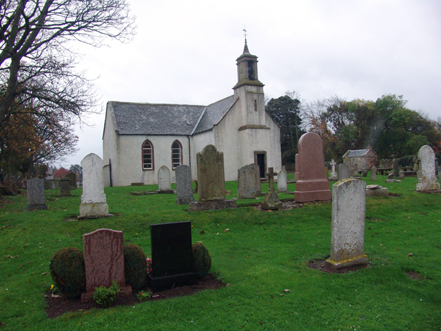
Crow Hill Images

Images are sourced within 2km of 55.915112/-2.443532 or Grid Reference NT7269. Thanks to Geograph Open Source API. All images are credited.

Wester Dod Trig point on the eastern edge of Lammermuir moorland. View to the east coast.
Wester Dod
Trig point on the eastern edge of Lammermuir moorland. View to the east coast.
Wester Dod Gullying on the side of Wester Dod, Lammermuir Hills.
Wester Dod
Gullying on the side of Wester Dod, Lammermuir Hills.
Man Made Lochan
Man Made Lochan
Trees Not a lot in this hard to get to square. In the background is the boundary between forest and land on the side of Elly Cleugh.
Trees
Not a lot in this hard to get to square. In the background is the boundary between forest and land on the side of Elly Cleugh.
Looking down water course Great view from high in the Lammermuirs all the way down to the Berwickshire coast
Looking down water course
Great view from high in the Lammermuirs all the way down to the Berwickshire coast
Grazing land, trees in distance
Farm Track
Farm Track
Abandoned Shooting Ground Buildings Nasty little corner. Used to be a shooting ground. Prefab building has rotten floors, lots of other debris.
Abandoned Shooting Ground Buildings
Nasty little corner. Used to be a shooting ground. Prefab building has rotten floors, lots of other debris.
Wide Hope, near to Oldhamstocks Tributary of Oldhamstocks Burn runs through the valley of Wide Hope, on the eastern side of the Lammermuir Hills.
Wide Hope, near to Oldhamstocks
Tributary of Oldhamstocks Burn runs through the valley of Wide Hope, on the eastern side of the Lammermuir Hills.
Lammermuir Hills, near Oldhamstocks View from the top of the hill between the two valleys of Yearn Hope and Wide Hope. Although Wide Hope can not be seen from this view, the more westerly narrow valley of Ling Hope can be seen.
Lammermuir Hills, near Oldhamstocks
View from the top of the hill between the two valleys of Yearn Hope and Wide Hope. Although Wide Hope can not be seen from this view, the more westerly narrow valley of Ling Hope can be seen.
Flock of Sheep in Yearn Hope, near to Oldhamstocks Sheep heading up the more easterly of the two tight valleys at the end of Yearn Hope.
Flock of Sheep in Yearn Hope, near to Oldhamstocks
Sheep heading up the more easterly of the two tight valleys at the end of Yearn Hope.
Oldhamstocks Burn The burn running down the Lammermuir valley of Wide Hope joins Oldhamstocks Burn at this point. The view is towards Aikengall.
Oldhamstocks Burn
The burn running down the Lammermuir valley of Wide Hope joins Oldhamstocks Burn at this point. The view is towards Aikengall.
Yearn Hope, Lammermuirs Small calley and burn off from the main valley in Yearn Hope, at the eastern end of the Lammermuirs.
Yearn Hope, Lammermuirs
Small calley and burn off from the main valley in Yearn Hope, at the eastern end of the Lammermuirs.
Yearn Hope, near Oldhamstocks Burn and valley of Yearn Hope, at the eastern end of the Lammermuir Hills.
Yearn Hope, near Oldhamstocks
Burn and valley of Yearn Hope, at the eastern end of the Lammermuir Hills.
Wide Hope, near Oldhamstocks Burn running through the Lammermuir valley of Wide Hope, eventually joining with Oldhamstocks Burn <a href="https://www.geograph.org.uk/photo/335121">NT7169 : Oldhamstocks Burn</a>.
Wide Hope, near Oldhamstocks
Burn running through the Lammermuir valley of Wide Hope, eventually joining with Oldhamstocks Burn NT7169 : Oldhamstocks Burn.
Yearn Hope, Stottencleugh Two tight valleys spur off Yearn Hope. This is a view of the more easterly one.
Yearn Hope, Stottencleugh
Two tight valleys spur off Yearn Hope. This is a view of the more easterly one.
Oldhamstocks Burn Looking east down the glen through the farmland towards Stottencleugh.
Oldhamstocks Burn
Looking east down the glen through the farmland towards Stottencleugh.
Burn bank showing section through glacial deposits The bank was just under a metre in height, and has been cleanly sliced through to reveal layers of pebbles and clay.
Burn bank showing section through glacial deposits
The bank was just under a metre in height, and has been cleanly sliced through to reveal layers of pebbles and clay.
Show me another place!

Crow Hill is located at Grid Ref: NT7269 (Lat: 55.915112, Lng: -2.443532)

Unitary Authority: East Lothian

Police Authority: The Lothians and Scottish Borders

What 3 Words

///entry.zoos.proves. Near Dunbar, East Lothian

Related Wikis

Oldhamstocks

Oldhamstocks or Aldhamstocks ("old dwelling place") is a civil parish and small village in the east of East Lothian, Scotland, adjacent to the Scottish...

Blackcastle Hill, East Lothian

Blackcastle Hill is an Iron Age hill fort south of Innerwick, East Lothian, Scotland. It is near Cocklaw in the Lammermuir Hills at grid reference NT729724...

Crystal Rig Wind Farm

Crystal Rig Wind Farm is an operational onshore wind farm located on the Lammermuir Hills in the Scottish Borders region of Scotland. When phase 1 was...

Thornton Castle

Thornton Castle was a Scottish fortress belonging to the Montgomery family and subsequently Lord Home near Innerwick in East Lothian. Thornton Castle...

Have you been to Crow Hill?

Leave your review of Crow Hill below (or comments, questions and feedback).