Iverley
Settlement in Staffordshire South Staffordshire
England
Iverley
Iverley is a small village located in the county of Staffordshire, England. Situated near the border of Worcestershire, it is nestled within the picturesque countryside of the West Midlands region. With a population of around 500 residents, Iverley offers a peaceful and close-knit community atmosphere.
The village is renowned for its historical significance, boasting a rich heritage that dates back to the Domesday Book of 1086. It is home to several well-preserved listed buildings, including the Grade II listed St. Peter's Church, which dates back to the 12th century. These architectural treasures contribute to the village's charm and attract visitors interested in history and heritage.
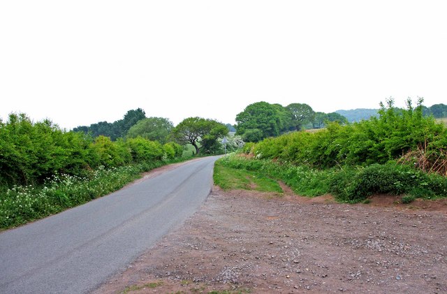
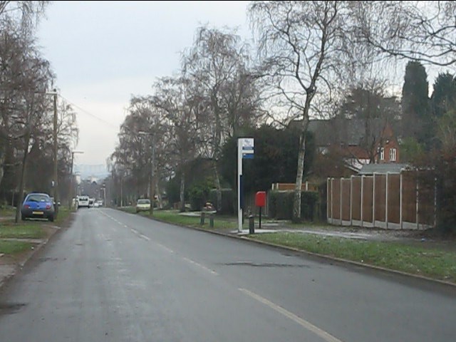
Despite its small size, Iverley is well-connected to neighboring towns and cities. The village is conveniently located near the A449 road, facilitating easy access to Stourbridge, Wolverhampton, and Birmingham. Additionally, the nearby railway stations of Stourbridge Junction and Kidderminster provide further transport options for residents and visitors alike.
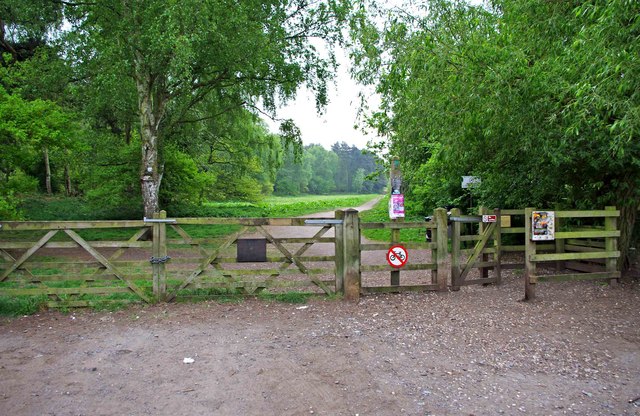
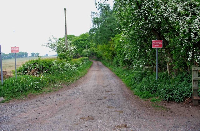
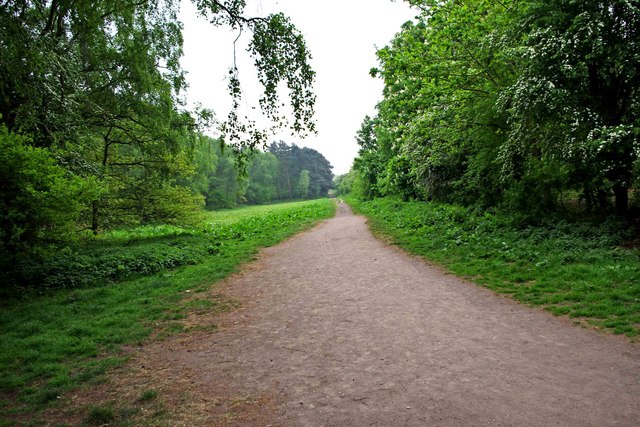
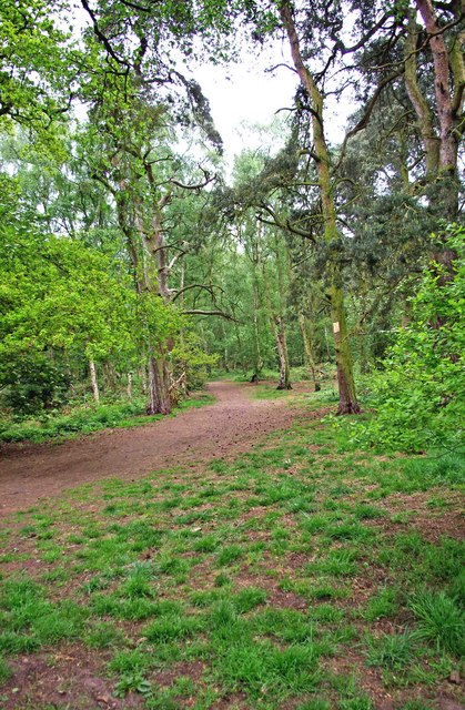
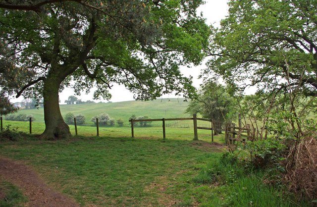
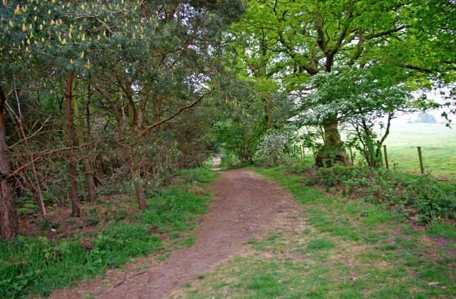
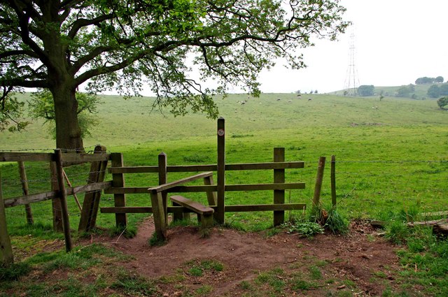
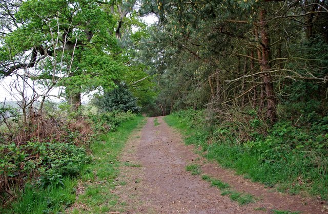
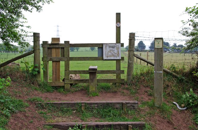
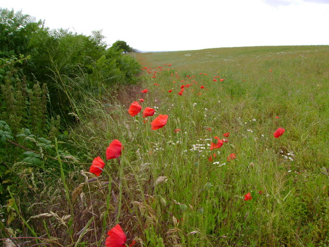
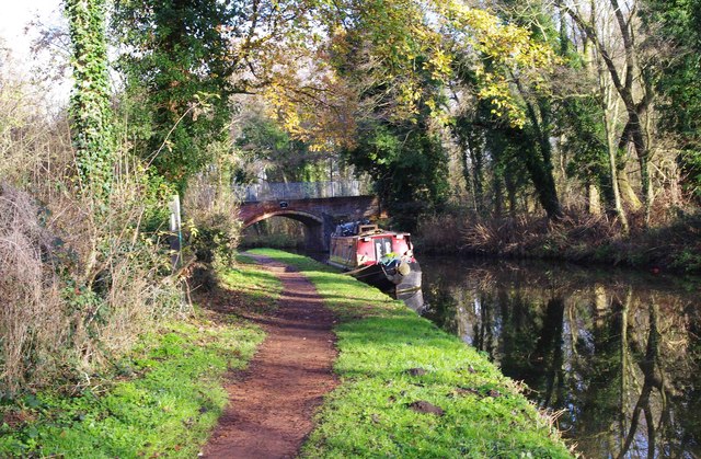
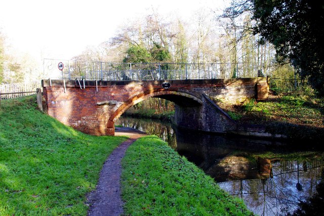
Nature enthusiasts find Iverley particularly appealing due to its proximity to the countryside. The village is surrounded by lush green fields and rolling hills, offering ample opportunities for outdoor activities such as walking, hiking, and cycling. The nearby Kinver Edge and the Staffordshire and Worcestershire Canal are popular destinations for those seeking to immerse themselves in the beauty of the natural surroundings.
In summary, Iverley is a quaint village in Staffordshire with a rich history, picturesque landscapes, and a strong sense of community. It offers a peaceful escape from urban life while maintaining convenient connections to nearby towns and cities.
If you have any feedback on the listing, please let us know in the comments section below.
Iverley Images
Images are sourced within 2km of 52.427976/-2.186159 or Grid Reference SO8781. Thanks to Geograph Open Source API. All images are credited.


Iverley is located at Grid Ref: SO8781 (Lat: 52.427976, Lng: -2.186159)
Administrative County: Staffordshire
District: South Staffordshire
Police Authority: Staffordshire
What 3 Words
///numeral.exhales.deranged. Near Hagley, Worcestershire
Nearby Locations
Related Wikis

Iverley
Iverley is an area of the parish of Kinver in Staffordshire that has no road link to the rest of the parish. It is notable as being the most southerly...

Churchill, Wyre Forest
Churchill is a village and former civil parish, now in the parish of Churchill and Blakedown, in the Wyre Forest district of Worcestershire, England. It...
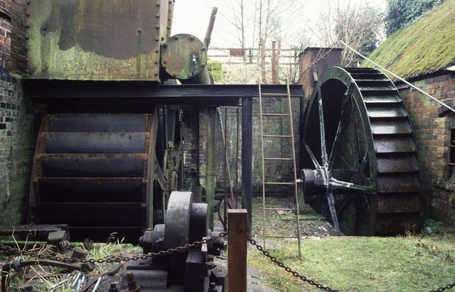
Churchill Forge Mill
Churchill Forge Mill, situated in the Worcestershire village of Churchill, is one of the last water-powered forge mills remaining in an intact state in...

King's Norton and Northfield Urban District
King's Norton and Northfield Urban District was a local government administrative district in north Worcestershire, England, from 1898 until 1911. Much...

Caunsall
Caunsall is a hamlet in Worcestershire, England a few miles to the north of Kidderminster and close to the villages of Kinver, Cookley and Wolverley. It...
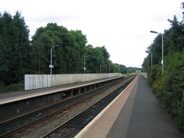
Blakedown railway station
Blakedown railway station serves the English village of Blakedown, Worcestershire. It was opened as Churchill in 1852, later becoming known for a time...

Axborough
Axborough is a low wooded hill east of Cookley in north Worcestershire, England. == History == Its Saxon name meant hassock grass barrow. This does not...

Haybridge High School
Haybridge High School and Sixth Form is an 11–18 mixed academy school with approximately 1,250 students (420 in the sixth form) in Hagley, Stourbridge...
Nearby Amenities
Located within 500m of 52.427976,-2.186159Have you been to Iverley?
Leave your review of Iverley below (or comments, questions and feedback).