Hard Hill
Hill, Mountain in Yorkshire Ribble Valley
England
Hard Hill
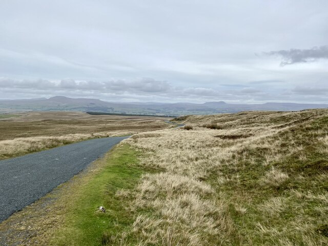
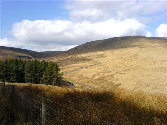
Hard Hill is a prominent geographical feature located in the county of Yorkshire, England. Situated in the northern region of the Yorkshire Dales, Hard Hill is a hill/mountain that forms part of the Pennine Range. Rising to an impressive elevation of approximately 500 meters (1,640 feet), it offers breathtaking views of the surrounding landscape.
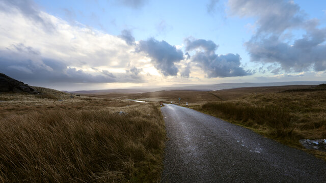
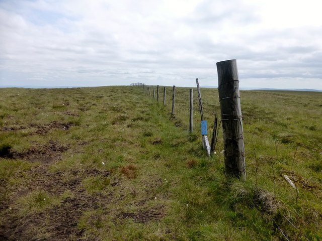
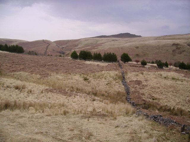
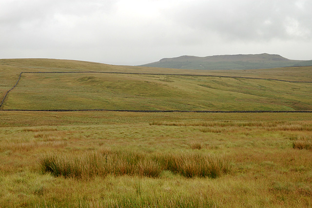
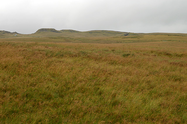
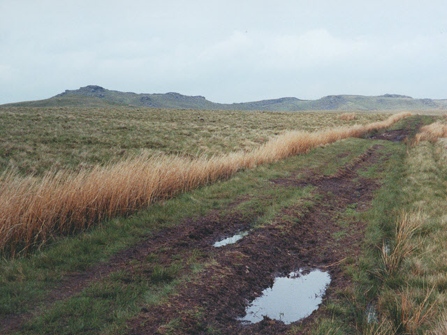
The hill is characterized by its rugged terrain, with steep slopes and rocky outcrops. Its name, Hard Hill, aptly describes the challenging nature of its ascent. The hill is predominantly composed of millstone grit, a type of sandstone that gives it its distinctive appearance.
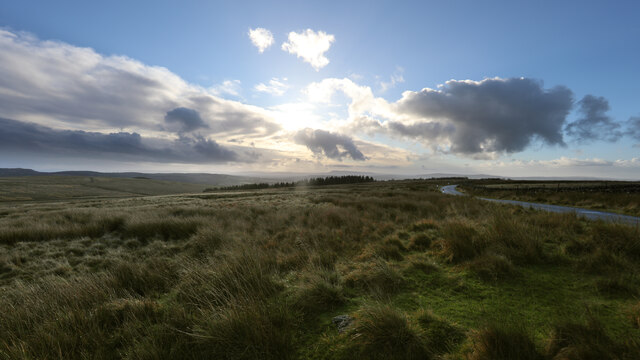
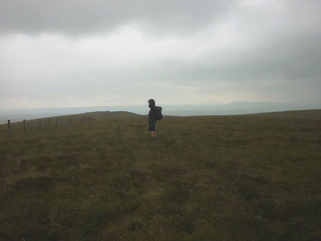
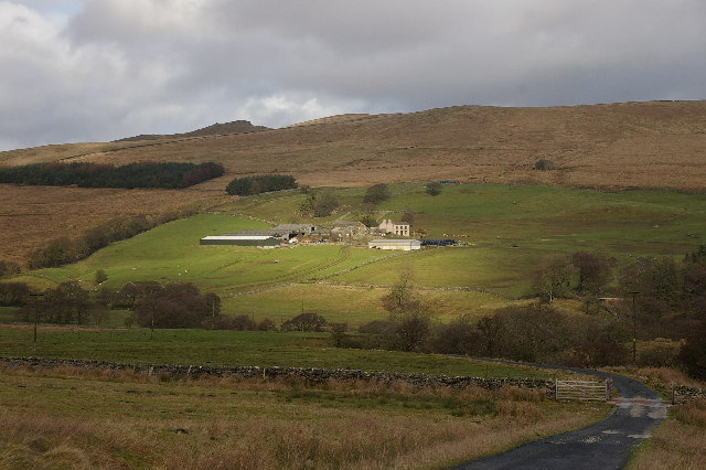
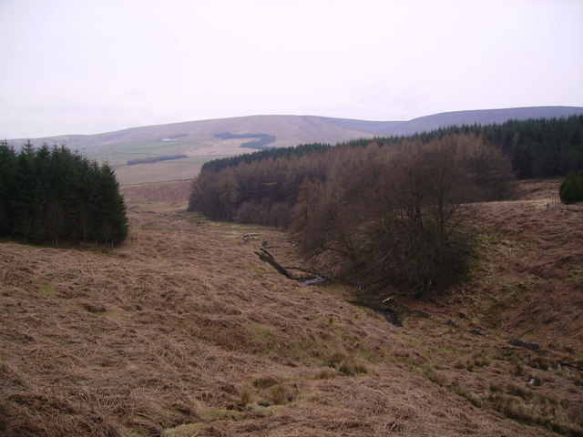
Hard Hill is a popular destination for outdoor enthusiasts and hikers, attracting both locals and visitors alike. Its location within the Yorkshire Dales National Park ensures that it remains relatively untouched and provides a haven for wildlife. The hill is home to a variety of plant species, including heather and bilberry, which create a vibrant and colorful landscape during the summer months.
The summit of Hard Hill offers panoramic views of the surrounding countryside, with rolling hills, valleys, and meandering rivers stretching as far as the eye can see. On a clear day, it is even possible to catch a glimpse of the distant Yorkshire coastline.
In addition to its natural beauty, Hard Hill also holds historical significance. The area surrounding the hill is dotted with ancient settlements and archaeological sites, providing a glimpse into the region's rich past.
Overall, Hard Hill in Yorkshire is a captivating and challenging destination, offering both natural beauty and historical intrigue to those who venture to its summit.
If you have any feedback on the listing, please let us know in the comments section below.
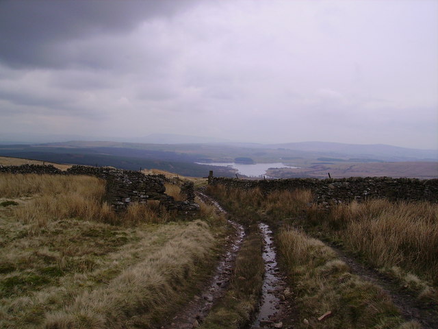
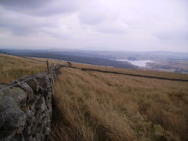
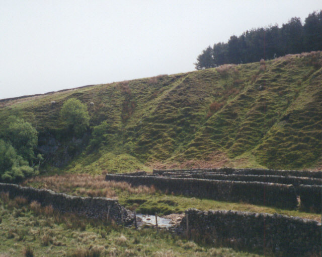
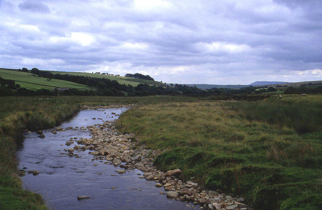
Hard Hill Images
Images are sourced within 2km of 54.038088/-2.4350899 or Grid Reference SD7160. Thanks to Geograph Open Source API. All images are credited.


Hard Hill is located at Grid Ref: SD7160 (Lat: 54.038088, Lng: -2.4350899)
Division: West Riding
Administrative County: Lancashire
District: Ribble Valley
Police Authority: Lancashire
What 3 Words
///informs.survived.reefs. Near High Bentham, North Yorkshire
Nearby Locations
Related Wikis

White Hill (Forest of Bowland)
White Hill is a hill in the Forest of Bowland, north-western England. It lies between Slaidburn and High Bentham. The summit houses a tower and a trig...

Easington, Lancashire
Easington () is a civil parish within the Ribble Valley district of Lancashire, England, with a population in 2001 of 52. The Census 2011 population details...

Stocks Reservoir
Stocks Reservoir is a reservoir situated at the head of the Hodder valley in the Forest of Bowland, Lancashire, England (historically in the West Riding...

Geography of the United Kingdom
The United Kingdom is a sovereign state located off the north-western coast of continental Europe. With a total area of approximately 248,532 square kilometres...
Related Videos

Bowland Knotts (Slideshow)
Had a lazy day yesterday so made up for that today with a tough but enjoyable wander up Bowland Knotts. Great walk but ...
Have you been to Hard Hill?
Leave your review of Hard Hill below (or comments, questions and feedback).