Backley Hill

Hill, Mountain in Aberdeenshire

Scotland

Backley Hill

Road junction near Meikle Wartle
Road junction near Meikle Wartle Credit: Steven Brown

Backley Hill is a prominent hill located in Aberdeenshire, Scotland. It stands at an elevation of approximately 625 meters (2,051 feet) above sea level, making it one of the noteworthy peaks in the region. Situated in the eastern part of the Grampian Mountains, it offers breathtaking panoramic views of the surrounding countryside.

Covered in heather and grass, Backley Hill boasts a diverse range of flora and fauna. The hill is home to several species of birds, including golden eagles and peregrine falcons, making it a popular destination for birdwatchers. Hikers and outdoor enthusiasts are also drawn to Backley Hill, as it provides challenging yet rewarding trails that cater to all levels of experience.

The summit of Backley Hill can be reached via a well-defined path that starts from a nearby car park. The ascent can be steep in some sections, but the effort is rewarded with stunning vistas of the Aberdeenshire landscape. On a clear day, one can even catch glimpses of the North Sea in the distance.

Backley Hill is a place of natural beauty and tranquility, offering visitors a chance to connect with nature and escape the hustle and bustle of everyday life. Whether it is for a leisurely stroll or a more challenging hike, this hill provides an opportunity to appreciate the stunning Scottish countryside and marvel at its majestic peaks.

If you have any feedback on the listing, please let us know in the comments section below.
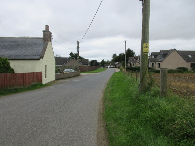
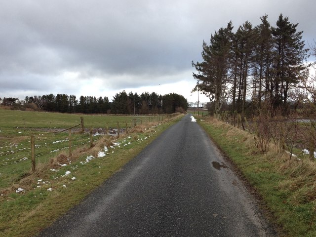
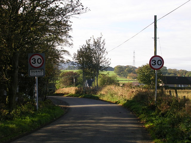
Backley Hill Images

Images are sourced within 2km of 57.352226/-2.4750873 or Grid Reference NJ7129. Thanks to Geograph Open Source API. All images are credited.

Road junction near Meikle Wartle
Roads at Fordmouth Croft
Looking north to Meikle Wartle Looking northwards to houses on the western edge of Meikle Wartle.
Looking north to Meikle Wartle
Looking northwards to houses on the western edge of Meikle Wartle.
Meikle Wartle Looking westwards along the road through the hamlet of Meikle Wartle.
Meikle Wartle
Looking westwards along the road through the hamlet of Meikle Wartle.
Road through Meikle Wartle
Backroads of Rayne
Backroads of Rayne
Minor road near Kirkton of Rayne
Road junction near Auchentarph Croft
Wartle railway station (site), Aberdeenshire Opened in 1857 by the Banff Macduff & Turriff Junction Railway, later part of the Great North of Scotland Railway, on the line from Inveramsay to Macduff, this station closed to passengers in 1951 and completely in 1966.
Forecourt. Now a private house.
Wartle railway station (site), Aberdeenshire
Opened in 1857 by the Banff Macduff & Turriff Junction Railway, later part of the Great North of Scotland Railway, on the line from Inveramsay to Macduff, this station closed to passengers in 1951 and completely in 1966. Forecourt. Now a private house.
Wartle Hall The village hall in Meikle Wartle. Originally built in 1888 it was refurbished in 2000.
Wartle Hall
The village hall in Meikle Wartle. Originally built in 1888 it was refurbished in 2000.
Bridge by the Den Burn The south parapet and the course on the Den Burn beyond it.
Bridge by the Den Burn
The south parapet and the course on the Den Burn beyond it.
Wartle Telephone The familiar red telephone still in place in Meikle Wartle.
Wartle Telephone
The familiar red telephone still in place in Meikle Wartle.
By Sunnyside The road by Sunnyside Farm heading north to Meikle Wartle.
By Sunnyside
The road by Sunnyside Farm heading north to Meikle Wartle.
Sunnyside Field Access A track giving access to fields east of Sunnyside Farm.
Sunnyside Field Access
A track giving access to fields east of Sunnyside Farm.
Lower Cushieston Track An entrance road to the farm of Lower Cushieston.
Lower Cushieston Track
An entrance road to the farm of Lower Cushieston.
Approaching Southside Corner With woodland of Warthill House on the right, this minor road turns sharply to the right by Southside.
Approaching Southside Corner
With woodland of Warthill House on the right, this minor road turns sharply to the right by Southside.
Kirkton of Rayne
Kirkton of Rayne
Show me another place!

Backley Hill is located at Grid Ref: NJ7129 (Lat: 57.352226, Lng: -2.4750873)

Unitary Authority: Aberdeenshire

Police Authority: North East

What 3 Words

///enhances.crunches.meant. Near Rothienorman, Aberdeenshire

Nearby Locations

Backley Hill

Related Wikis

Wartle railway station

Wartle railway station was a railway station that served local farms and the nearby hamlet of Meikle Wartle, Aberdeenshire. It was opened in 1857 by the...

Meikle Wartle

Meikle Wartle is a small rural village in Aberdeenshire, Scotland. It is around 7 miles north of Inverurie. Local facilities include a village hall dating...

Loanhead of Daviot stone circle

Loanhead of Daviot stone circle is a recumbent stone circle in Aberdeenshire in lowland northeast Scotland. The circle consists of the recumbent stone...

Pitcaple railway station

Pitcaple railway station is a former railway station in Aberdeenshire. It opened on 20 September 1854, and closed down on 6 May 1968. It was part of the...

Nearby Amenities

Located within 500m of 57.352226,-2.4750873
Power: pole
Lat/Long: 57.3493803/-2.4800377
Power: pole
Lat/Long: 57.3500404/-2.4803714
Power: pole
Lat/Long: 57.3491641/-2.4788622
Power: pole
Lat/Long: 57.3489458/-2.4776426
Power: pole
Lat/Long: 57.3487368/-2.4764594
Power: pole
Lat/Long: 57.348473/-2.4751516
Power: pole
Lat/Long: 57.3482361/-2.4738707
Power: pole
Lat/Long: 57.3479991/-2.4725341
Power: pole
Lat/Long: 57.355337/-2.470279
Power: pole
Lat/Long: 57.3549666/-2.470162
Power: pole
Lat/Long: 57.3541349/-2.4699568
Power: pole
Lat/Long: 57.3534299/-2.4698256
Power: pole
Lat/Long: 57.3527012/-2.469813
Power: pole
Lat/Long: 57.3519336/-2.4697804
Power: pole
Lat/Long: 57.3511587/-2.4697574
Power: pole
Lat/Long: 57.350449/-2.4697363
Power: pole
Lat/Long: 57.3498417/-2.4701256
Power: pole
Lat/Long: 57.3491444/-2.4705513
Power: pole
Lat/Long: 57.3483985/-2.4710096
Power: pole
Lat/Long: 57.3535101/-2.4680584
Power: pole
Lat/Long: 57.3530063/-2.469161
The data included in this document is from www.openstreetmap.org. The data is made available under ODbL.

Have you been to Backley Hill?

Leave your review of Backley Hill below (or comments, questions and feedback).