Hill of Canterland

Hill, Mountain in Kincardineshire

Scotland

Hill of Canterland

Minor road between Spearmill and Forebank Looking south-eastward.
Minor road between Spearmill and Forebank Credit: Peter Wood

Hill of Canterland, located in Kincardineshire, Scotland, is a prominent geographical feature that stands at an elevation of approximately 279 meters (915 feet) above sea level. It is categorized as a hill or mountain due to its height and distinct topographical characteristics.

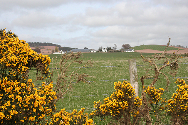
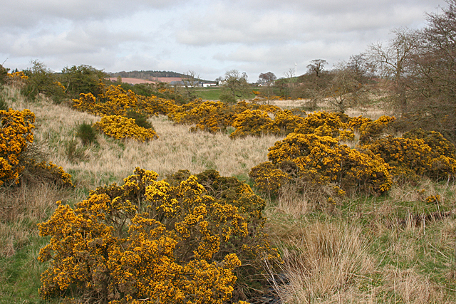
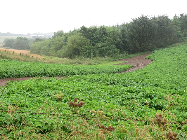
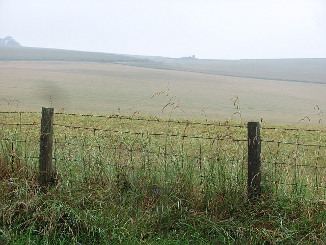
This natural landmark is situated within the picturesque countryside, offering breathtaking views of the surrounding landscape. Hill of Canterland is characterized by its gently rolling slopes, covered in lush green vegetation, which transforms into a vibrant carpet of wildflowers during the spring and summer seasons.

The hill is known for its rich biodiversity, supporting a variety of plant and animal species. Visitors can spot numerous species of birds, including red grouse, skylarks, and meadow pipits, nesting amidst the heather-covered slopes. Small mammals such as rabbits, hares, and voles can also be found in the area.

Hill of Canterland is a popular destination among outdoor enthusiasts, hikers, and nature lovers. Several walking trails and paths traverse the hill, providing opportunities for exploration and adventure. The summit rewards climbers with breathtaking panoramic views of the surrounding countryside, including the nearby coastal areas and the Grampian Mountains in the distance.

The hill is also of historical significance, as it is believed to have been a site for ancient settlements and farming activities. Archaeological remains, such as stone circles and cairns, have been discovered in the vicinity, adding to its cultural and historical value.

Overall, Hill of Canterland in Kincardineshire offers a captivating natural experience, blending scenic beauty, diverse wildlife, and a touch of history, making it an ideal destination for nature enthusiasts and history buffs alike.

If you have any feedback on the listing, please let us know in the comments section below.

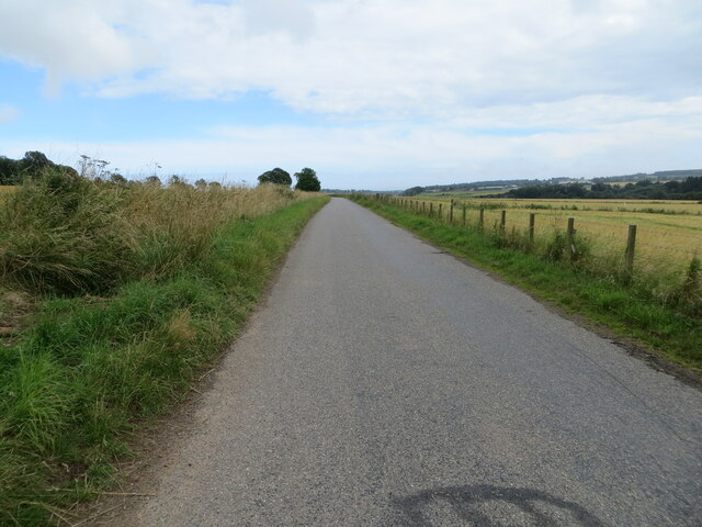
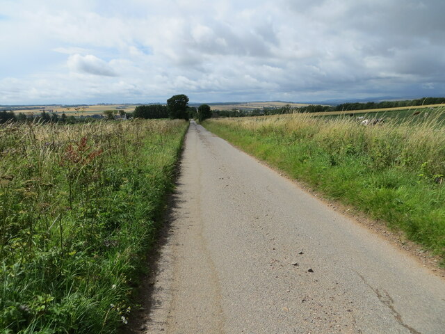
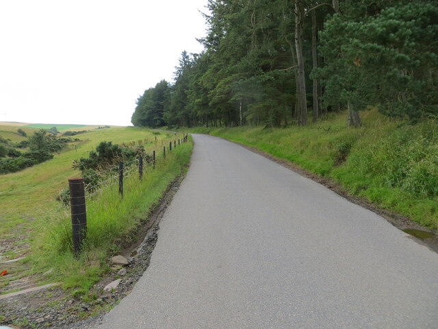
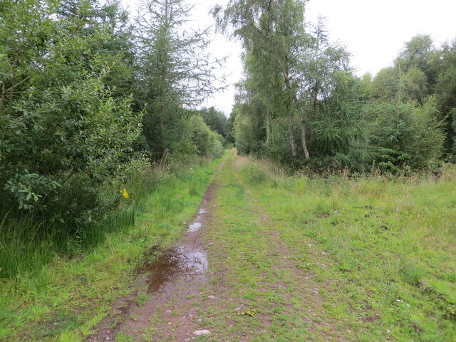
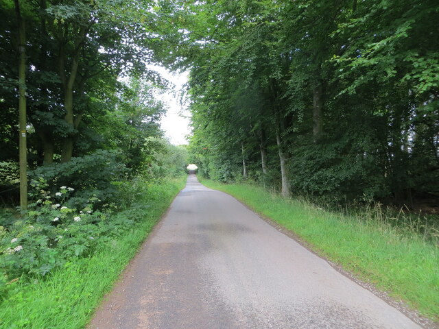
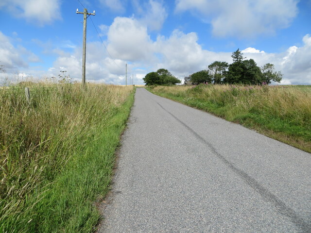
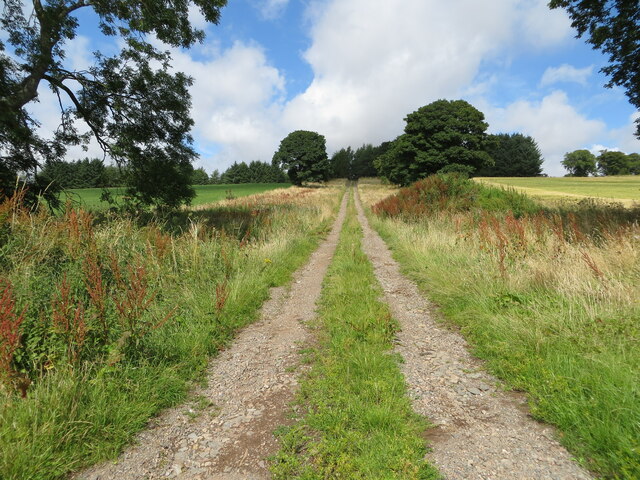
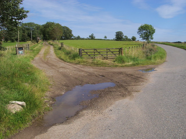
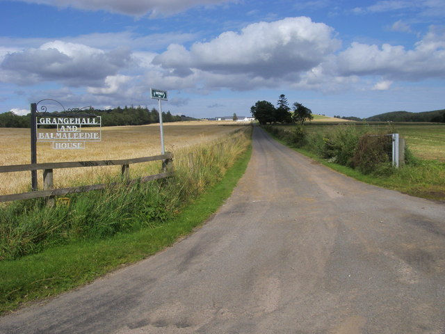
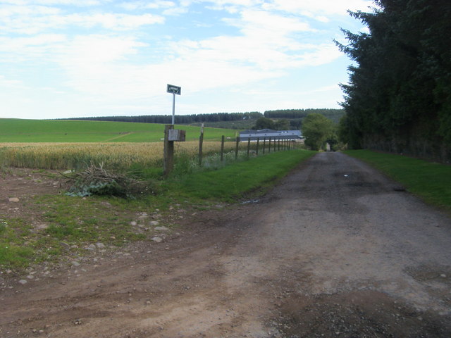
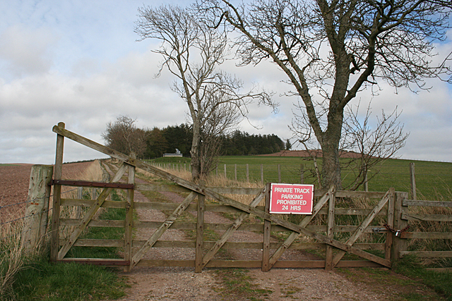
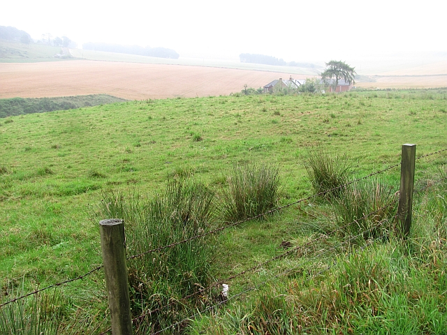
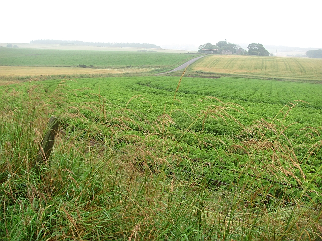
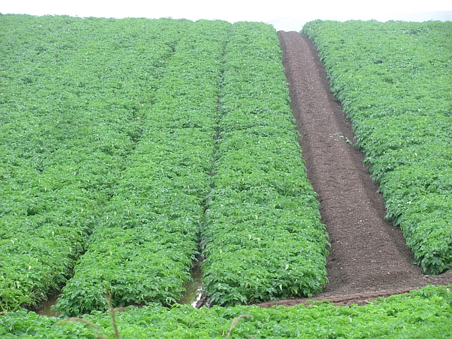
Hill of Canterland Images

Images are sourced within 2km of 56.783196/-2.471289 or Grid Reference NO7165. Thanks to Geograph Open Source API. All images are credited.

Minor road between Spearmill and Forebank Looking south-eastward.
Minor road between Spearmill and Forebank
Looking south-eastward.
Minor road heading towards Mains of Kirktonhill Looking south-westward.
Minor road heading towards Mains of Kirktonhill
Looking south-westward.
Road beside Kirtonhill Woods near to Craigend of Garvock Looking south-eastward.
Road beside Kirtonhill Woods near to Craigend of Garvock
Looking south-eastward.
Track through Kirtonhill Woods Looking north-westward.
Track through Kirtonhill Woods
Looking north-westward.
Minor road near to South Snadon Looking south-westward from the entrance to North Snadon.
Minor road near to South Snadon
Looking south-westward from the entrance to North Snadon.
Road approaching Muirhead Looking north-westward.
Road approaching Muirhead
Looking north-westward.
Track between arable fields near Kirktonhill Looking north-westward.
Track between arable fields near Kirktonhill
Looking north-westward.
Lane to Den of Morphie Lane to Den of Morphie passing track to Forebank
Lane to Den of Morphie
Lane to Den of Morphie passing track to Forebank
Drive up to Grangehall and Balmaleedie Off road to Marykirk the drive up to Grangehall and Balmaleedie House with a rare footpath sign
Drive up to Grangehall and Balmaleedie
Off road to Marykirk the drive up to Grangehall and Balmaleedie House with a rare footpath sign
Footpath to Grangehall By Mains of Kirktonhill footpath to Grangehall
Footpath to Grangehall
By Mains of Kirktonhill footpath to Grangehall
Grangehall Looking towards Grangehall, with the Hill of Balmaleedy to its right.
Grangehall
Looking towards Grangehall, with the Hill of Balmaleedy to its right.
Unnamed Burn This den looks like a glacial meltwater channel, with a tiny unnamed burn meandering down its length, draining the Hill of Balmaleedy to its west and Hill of Cantertland to its east.
Unnamed Burn
This den looks like a glacial meltwater channel, with a tiny unnamed burn meandering down its length, draining the Hill of Balmaleedy to its west and Hill of Cantertland to its east.
Walk, but don't park. The sign isn't unreasonable because the track gives access to a reservoir as well as to the woodland on the Hill of Canterland, and no doubt the owners have had problems with inappropriately parked vehicles.
Walk, but don't park.
The sign isn't unreasonable because the track gives access to a reservoir as well as to the woodland on the Hill of Canterland, and no doubt the owners have had problems with inappropriately parked vehicles.
Wideopen Croft View on a dreich afternoon from the Wide Open road.
Wideopen Croft
View on a dreich afternoon from the Wide Open road.
Potato field Looking through the murk towards Muirhead.
Potato field
Looking through the murk towards Muirhead.
Potato field Seen shortly before defoliation with sulphuric acid and harvesting.
Potato field
Seen shortly before defoliation with sulphuric acid and harvesting.
Potato field
Potato field
Barley field, Snawdon Barley on a wet afternoon. Land slopes rightwards towards the Den of Morphie.
Barley field, Snawdon
Barley on a wet afternoon. Land slopes rightwards towards the Den of Morphie.
Show me another place!

Hill of Canterland is located at Grid Ref: NO7165 (Lat: 56.783196, Lng: -2.471289)

Unitary Authority: Aberdeenshire

Police Authority: North East

What 3 Words

///culminate.tamed.imported. Near St Cyrus, Aberdeenshire

Related Wikis

Marykirk

Marykirk (Scottish Gaelic: Obar Luathnait) is a village in the Kincardine and Mearns area of Aberdeenshire, Scotland, next to the border with Angus at...

Craigo

Craigo is a village in Angus, Scotland. It lies about 5 miles (8.0 km) northwest of Montrose, and 1 mile (1.6 km) south of Marykirk, which is across the...

Craigo railway station

Craigo railway station served the village of Craigo, Angus, Scotland from 1851 to 1956 on the Aberdeen Railway. == History == The station opened in 1851...

Mill of Morphie

The Mill of Morphie is a historic waterwheel in Aberdeenshire, Scotland. The Mill of Morphie is situated nearby to the Stone of Morphie, an unshaped extant...

Nearby Amenities

Located within 500m of 56.783196,-2.471289
Power: pole
Lat/Long: 56.7787936/-2.4724218
Power: pole
Lat/Long: 56.7788811/-2.4713195
Hill of Canterland
Ele: 130
Natural: peak
Lat/Long: 56.7835264/-2.4694298
The data included in this document is from www.openstreetmap.org. The data is made available under ODbL.

Have you been to Hill of Canterland?

Leave your review of Hill of Canterland below (or comments, questions and feedback).