Broom Hill

Hill, Mountain in Gloucestershire Forest of Dean

England

Broom Hill

May Hill Village facilities Notice board, post box and phone box. The latter is now an information hub for the village.
May Hill Village facilities Credit: Jonathan Billinger

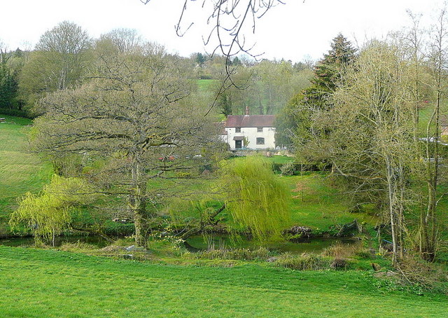
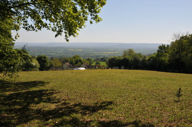
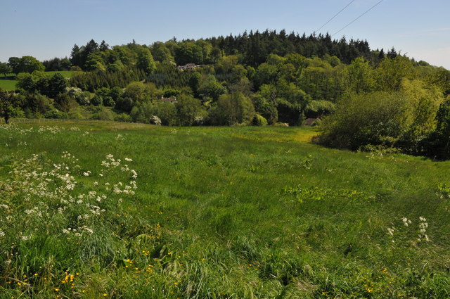
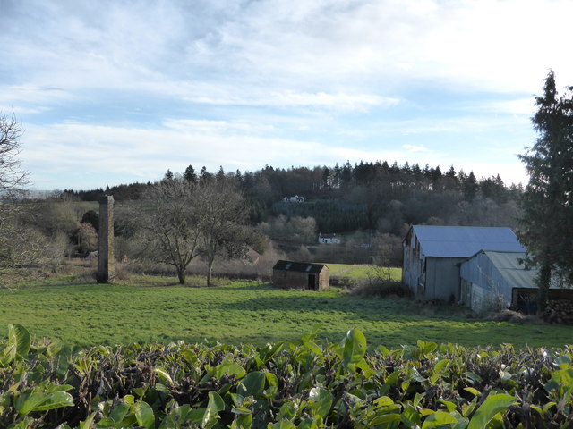
Broom Hill is a prominent hill located in Gloucestershire, England. Situated just south of the town of Stroud, it forms part of the Cotswold Hills, a picturesque range known for its rolling countryside and stunning landscapes. With an elevation of approximately 267 meters (876 feet), Broom Hill offers commanding views of the surrounding area, making it a popular spot for both locals and tourists.

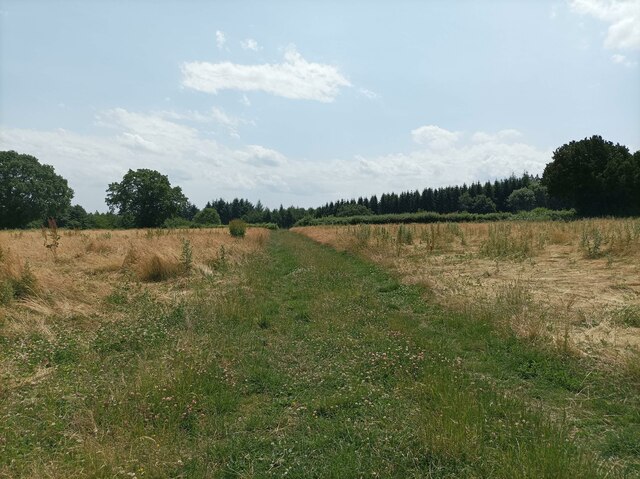
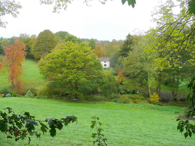
The hill is primarily covered in lush grassland, interspersed with patches of woodland and hedgerows. It is home to a diverse range of plant and animal species, including wildflowers, butterflies, and various bird species. The area is carefully managed, with conservation efforts in place to protect and preserve the natural environment.

Broom Hill is also significant from a historical perspective. It is believed to have been inhabited since prehistoric times, with archaeological evidence suggesting human activity in the area dating back thousands of years. The hill features several ancient burial mounds and tumuli, providing valuable insights into the region's past.

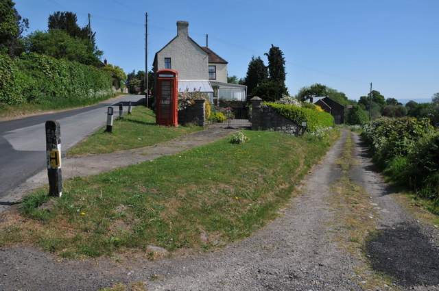
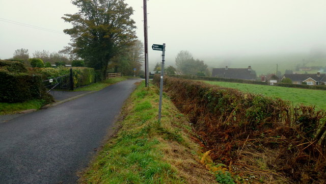
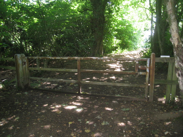
Given its accessibility and natural beauty, Broom Hill offers ample opportunities for outdoor activities. Hiking and walking trails crisscross the hill, allowing visitors to explore its scenic vistas and enjoy the peaceful surroundings. Additionally, the hill is a popular destination for picnicking, wildlife spotting, and photography.

Overall, Broom Hill is a remarkable natural landmark in Gloucestershire, offering a blend of natural beauty, historical significance, and recreational opportunities for all to enjoy.

If you have any feedback on the listing, please let us know in the comments section below.
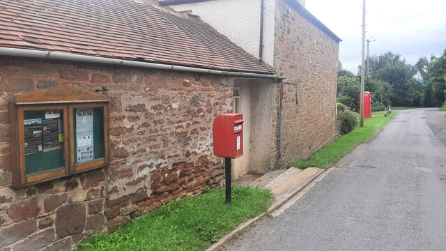
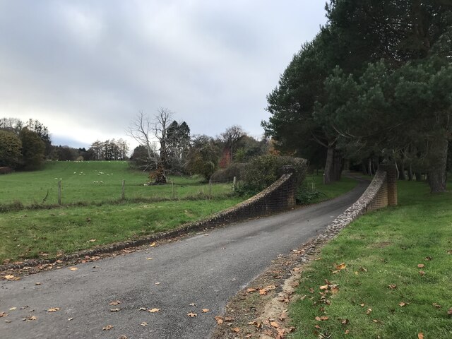
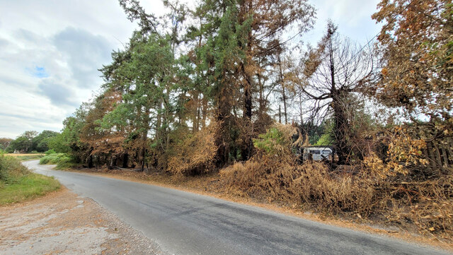
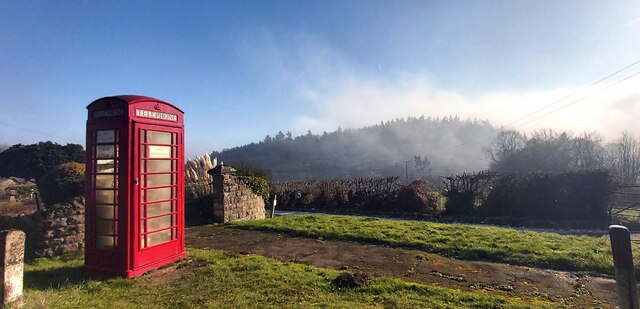
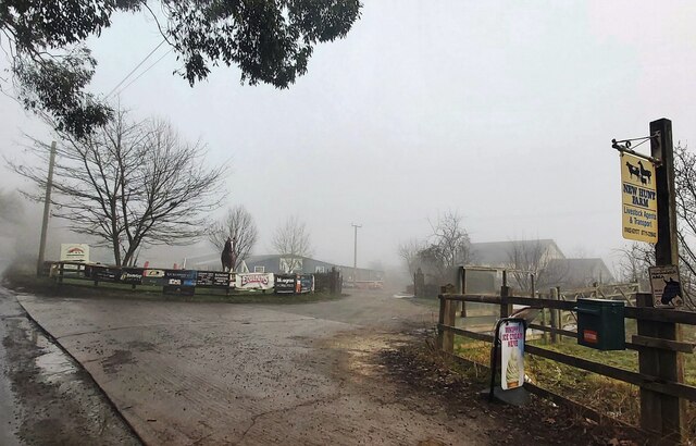
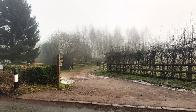
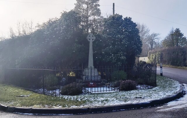
Broom Hill Images

Images are sourced within 2km of 51.869007/-2.4193853 or Grid Reference SO7119. Thanks to Geograph Open Source API. All images are credited.

May Hill Village facilities Notice board, post box and phone box. The latter is now an information hub for the village.
May Hill Village facilities
Notice board, post box and phone box. The latter is now an information hub for the village.
Driveway entrance
Driveway entrance
Evidence of a recent wildfire Hot, dry conditions in the summer of 2022 have resulted in this roadside fire on Newent Lane.
Evidence of a recent wildfire
Hot, dry conditions in the summer of 2022 have resulted in this roadside fire on Newent Lane.
Public Telephone Box with Fog Covered Bright's Hill Beyond
New Hunt Farm
New Hunt Farm
Entrance to Northend Farm House
War Memorial - May Hill Village
Path through field A grassy path through a field near May Hill Village.
Path through field
A grassy path through a field near May Hill Village.
Castle Hill Wood Track through Castle Hill Wood.
Castle Hill Wood
Track through Castle Hill Wood.
Dream cottage This place is a feature of my daily commute to Gloucester. View to the north of the A40 on a light spring evening.
Dream cottage
This place is a feature of my daily commute to Gloucester. View to the north of the A40 on a light spring evening.
Track in May Hill Village On the eastern slopes of May Hill there are a number of narrow lanes and track such as this one pictured here.  I returned to this same spot in September 2017 <a href="https://www.geograph.org.uk/photo/5526491">SO7020 : Decommissioned telephone box</a>.
Track in May Hill Village
On the eastern slopes of May Hill there are a number of narrow lanes and track such as this one pictured here. I returned to this same spot in September 2017 SO7020 : Decommissioned telephone box.
View across the Vale of Gloucester View across the Vale of Gloucester from the slopes of May Hill.  The Cotswold Hills are on the horizon.
View across the Vale of Gloucester
View across the Vale of Gloucester from the slopes of May Hill. The Cotswold Hills are on the horizon.
May Hill Methodist Hall
Bright's Hill Bright's Hill is a wooded hill on the east side of May Hill.
Bright's Hill
Bright's Hill is a wooded hill on the east side of May Hill.
Dream cottage in autumn The same view (almost) as in <a href="https://www.geograph.org.uk/photo/2343022">SO7020 : Dream cottage</a> nearly seven months on.
Dream cottage in autumn
The same view (almost) as in SO7020 : Dream cottage nearly seven months on.
Dursley Cross The gridline crosses the scene just about where the bridleway sign stands.
Dursley Cross
The gridline crosses the scene just about where the bridleway sign stands.
Gate across footpath on May Hill There is a dense network of paths on May Hill.
Gate across footpath on May Hill
There is a dense network of paths on May Hill.
Scene below May Hill village, Glos A fairly typical local scene of scattered cottages, old workings, rolling hills and woods.
Scene below May Hill village, Glos
A fairly typical local scene of scattered cottages, old workings, rolling hills and woods.
Show me another place!

Broom Hill is located at Grid Ref: SO7119 (Lat: 51.869007, Lng: -2.4193853)

Administrative County: Gloucestershire

District: Forest of Dean

Police Authority: Gloucestershire

What 3 Words

///dollars.rails.mailers. Near Huntley, Gloucestershire

Related Wikis

The Mount, Nottswood Hill

The Mount, Nottswood Hill, is a grade II listed house near Blaisdon in Gloucestershire. The house is thought to have been rebuilt in the later nineteenth...

Hobbs Quarry SSSI, Longhope

Hobbs Quarry, Longhope (grid reference SO695195) is a 1-hectare (2.5-acre) geological and biological Site of Special Scientific Interest in Gloucestershire...

Longhope Hill

Longhope Hill (grid reference SO693185) is a 0.2-hectare (0.49-acre) geological Site of Special Scientific Interest in Gloucestershire, notified in 1989...

Huntley, Gloucestershire

Huntley, Gloucestershire, is a village on the A40 located seven miles (11 km) west of Gloucester. It is in the north of the Forest of Dean. == History... ==

Longhope railway station

Longhope railway station is a disused stone-built railway station that served the village of Longhope in Gloucestershire, England. Opened in 1855 with...

Blaisdon

Blaisdon is a village and civil parish in the Forest of Dean of Gloucestershire, England, about ten miles west of Gloucester. Its population in 2005 was...

Longhope

Longhope is a village in west Gloucestershire, situated within the Forest of Dean, England, United Kingdom. Arthur Bullock, who was born in Longhope in...

Blaisdon Hall

Blaisdon Hall (grid reference SO698170) is a Grade II* listed building at Blaisdon. It includes a 0.07-hectare (0.17-acre) biological Site of Special Scientific...

Nearby Amenities

Located within 500m of 51.869007,-2.4193853
Bus Stop
St John the Baptist Church
Naptan AtcoCode: 1600GL2605
Naptan Bearing: W
Naptan CommonName: St John the Baptist Church
Naptan Indicator: Opp
Naptan NaptanCode: gloampjp
Naptan Street: Ross Rd A40
Naptan Verified: no
Source: naptan_import
Lat/Long: 51.8733021/-2.4184816
Bus Stop
St John the Baptist Church
Naptan AtcoCode: 1600GL2606
Naptan Bearing: E
Naptan CommonName: St John the Baptist Church
Naptan NaptanCode: gloampma
Naptan Street: Ross Rd A40
Naptan Verified: no
Source: naptan_import
Lat/Long: 51.8734103/-2.4183954
Bus Stop
Sawmill
Naptan AtcoCode: 1600GLF535
Naptan Bearing: SW
Naptan CommonName: Sawmill
Naptan Indicator: Opp
Naptan NaptanCode: gloamptj
Naptan Street: Longhope Rd A4136
Naptan Verified: no
Source: naptan_import
Lat/Long: 51.8714768/-2.4134099
Barrier: kissing_gate
Lat/Long: 51.873318/-2.4187463
Barrier: stile
Lat/Long: 51.8706443/-2.4161287
Barrier: stile
Lat/Long: 51.8723113/-2.4176772
Barrier: stile
Lat/Long: 51.8723709/-2.4178399
The data included in this document is from www.openstreetmap.org. The data is made available under ODbL.

Have you been to Broom Hill?

Leave your review of Broom Hill below (or comments, questions and feedback).