West Hill

Hill, Mountain in Dorset

England

West Hill

Benchmark, St John the Baptist Church, Plush Ordnance Survey benchmark, described on database at <span class="nowrap"><a title="http://www.bench-marks.org.uk/bm73594" rel="nofollow ugc noopener" href="http://www.bench-marks.org.uk/bm73594">Link</a><img style="margin-left:2px;" alt="External link" title="External link - shift click to open in new window" src="https://s1.geograph.org.uk/img/external.png" width="10" height="10"/></span>. See also <a href="https://www.geograph.org.uk/photo/4833952">ST7102 : St John the Baptist Church, Plush</a>.
Benchmark, St John the Baptist Church, Plush Credit: Becky Williamson

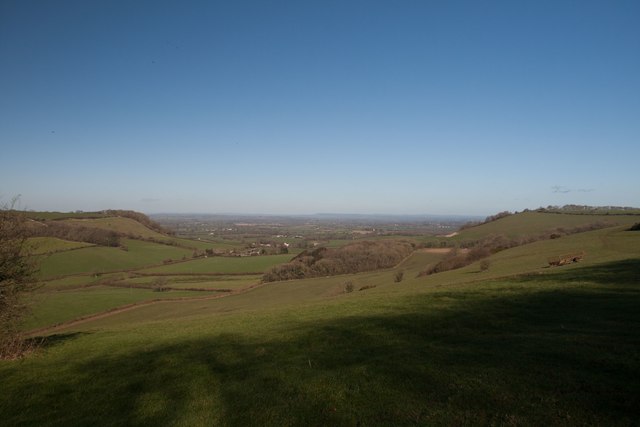
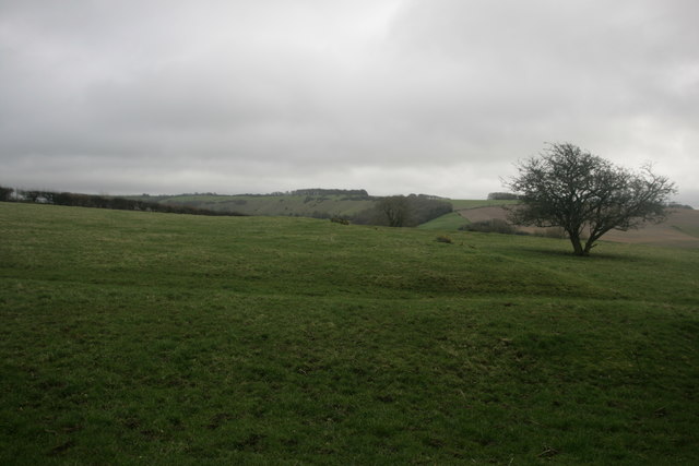
Located in the county of Dorset, England, West Hill is a prominent hill and mountain that stands tall at an elevation of 235 meters (771 feet) above sea level. Situated in the southwestern region of the country, West Hill offers breathtaking panoramic views of the surrounding countryside and the English Channel.

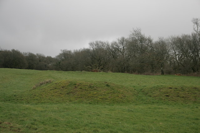
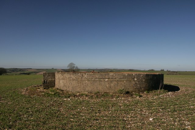
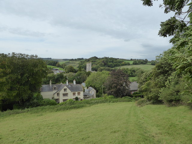
West Hill is known for its rich history and cultural significance. It has been a site of human activity for thousands of years, with evidence of prehistoric settlements and burial mounds discovered in the area. The hill also played a role during the Roman occupation of Britain, where it served as a lookout point and defensive position.

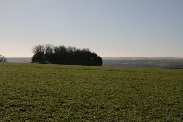
The hill is covered with a variety of vegetation, including grasslands, shrubs, and woodlands, making it a haven for diverse wildlife. It is home to an array of plant species, such as bluebells, orchids, and foxgloves, providing a vibrant and colorful landscape throughout the year.

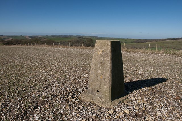
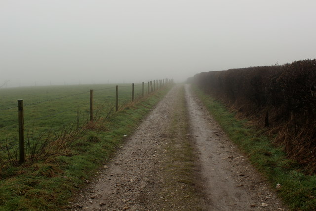
West Hill offers numerous recreational activities for outdoor enthusiasts. Hiking and walking trails allow visitors to explore the hill's natural beauty and enjoy the picturesque views. The summit is a popular spot for paragliding and hang gliding, providing an adrenaline-filled experience for thrill-seekers.

The hill is easily accessible, with ample parking and nearby amenities. It attracts visitors from all over the country, who come to appreciate its natural beauty and immerse themselves in its rich history. West Hill, Dorset, truly offers a captivating experience for nature lovers and history enthusiasts alike.

If you have any feedback on the listing, please let us know in the comments section below.
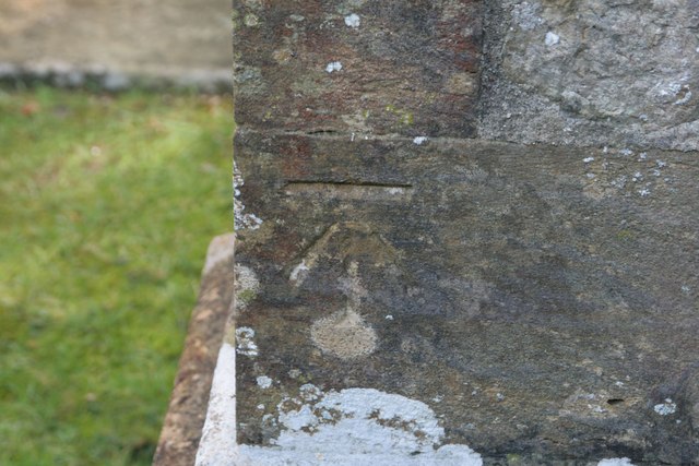
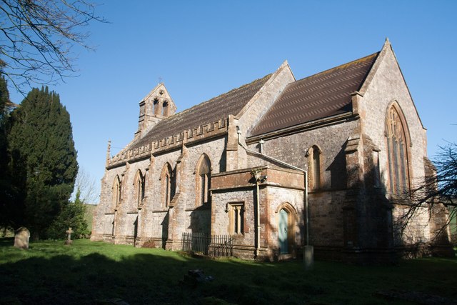
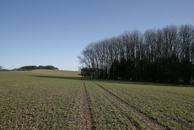
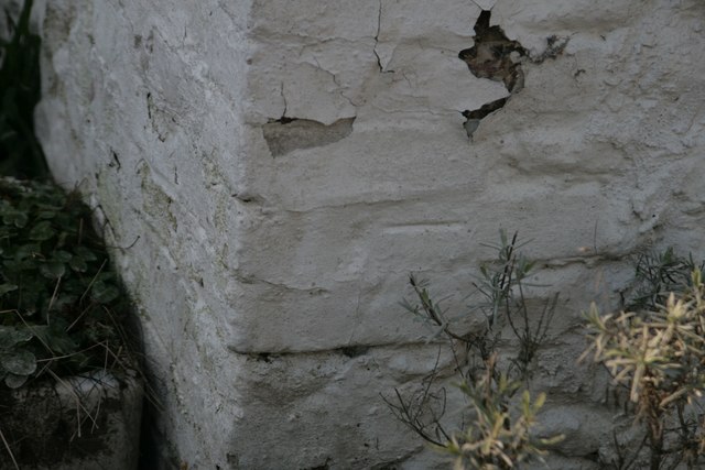
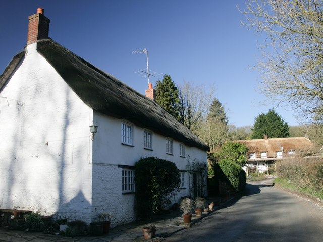
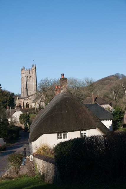
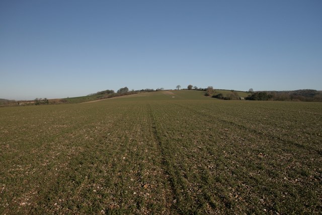
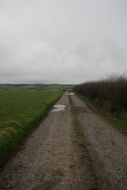
West Hill Images

Images are sourced within 2km of 50.821702/-2.4141298 or Grid Reference ST7002. Thanks to Geograph Open Source API. All images are credited.

Benchmark, St John the Baptist Church, Plush Ordnance Survey benchmark, described on database at <span class="nowrap"><a title="http://www.bench-marks.org.uk/bm73594" rel="nofollow ugc noopener" href="http://www.bench-marks.org.uk/bm73594">Link</a><img style="margin-left:2px;" alt="External link" title="External link - shift click to open in new window" src="https://s1.geograph.org.uk/img/external.png" width="10" height="10"/></span>. See also <a href="https://www.geograph.org.uk/photo/4833952">ST7102 : St John the Baptist Church, Plush</a>.
Benchmark, St John the Baptist Church, Plush
Ordnance Survey benchmark, described on database at LinkExternal link. See also ST7102 : St John the Baptist Church, Plush.
St John the Baptist Church, Plush I'm not sure if this building is still used as a place of worship, but it can also be used as a concert hall and venue for weddings etc.
St John the Baptist Church, Plush
I'm not sure if this building is still used as a place of worship, but it can also be used as a concert hall and venue for weddings etc.
Triangle of trees on Plush Hill The footpath wends its way through this arable field, past a water tank and on to the trig point at Higher Hill.
Triangle of trees on Plush Hill
The footpath wends its way through this arable field, past a water tank and on to the trig point at Higher Hill.
Benchmark on Old Schoolhouse, Plush Ordnance Survey benchmark, described on database at <span class="nowrap"><a title="http://www.bench-marks.org.uk/bm73593" rel="nofollow ugc noopener" href="http://www.bench-marks.org.uk/bm73593">Link</a><img style="margin-left:2px;" alt="External link" title="External link - shift click to open in new window" src="https://s1.geograph.org.uk/img/external.png" width="10" height="10"/></span>. See also <a href="https://www.geograph.org.uk/photo/4834177">ST7102 : Former Schoolhouse, Plush</a>.
Benchmark on Old Schoolhouse, Plush
Ordnance Survey benchmark, described on database at LinkExternal link. See also ST7102 : Former Schoolhouse, Plush.
Former Schoolhouse, Plush There is an Ordnance Survey benchmark on this cottage. See <a href="https://www.geograph.org.uk/photo/4834176">ST7102 : Benchmark on Old Schoolhouse, Plush</a>.
Former Schoolhouse, Plush
There is an Ordnance Survey benchmark on this cottage. See ST7102 : Benchmark on Old Schoolhouse, Plush.
Church Lane, Piddletrenthide
Near summit of East Hill, Piddletrenthide Not that you'd really know you were on a hill. It's all arable crops!
Near summit of East Hill, Piddletrenthide
Not that you'd really know you were on a hill. It's all arable crops!
Church Hill - Wessex Ridgeway Looking west along bridleway towards Alton Pancras.
Church Hill - Wessex Ridgeway
Looking west along bridleway towards Alton Pancras.
View north from Higher Hill Nettlecombe Tout visible on the left of the photo.
View north from Higher Hill
Nettlecombe Tout visible on the left of the photo.
Celtic Enclosure on the edge of Watcombe Wood
Tumulus, Plush Hill
Tumulus, Plush Hill
Water tank, Plush Hill There is supposed to be an Ordnance Survey benchmark on this structure, but i couldn't find it. It has perhaps got destroyed as parts of the rendering have crumbled.
Water tank, Plush Hill
There is supposed to be an Ordnance Survey benchmark on this structure, but i couldn't find it. It has perhaps got destroyed as parts of the rendering have crumbled.
Settlement on West Hill, near Plush
Higher Hill trigpoint
Benchmark on cottage, Alton Pancras Ordnance Survey benchmark on cottage in Alton Pancras, described on database at <span class="nowrap"><a title="http://www.bench-marks.org.uk/bm69121" rel="nofollow ugc noopener" href="http://www.bench-marks.org.uk/bm69121">Link</a><img style="margin-left:2px;" alt="External link" title="External link - shift click to open in new window" src="https://s1.geograph.org.uk/img/external.png" width="10" height="10"/></span>.
Benchmark on cottage, Alton Pancras
Ordnance Survey benchmark on cottage in Alton Pancras, described on database at LinkExternal link.
Piddletrenthide Taken from the footpath above the village.
Piddletrenthide
Taken from the footpath above the village.
Old Direction Sign - Signpost in Plush, Piddletrenthide Parish Annulus and bar finial - 3 arms; Dorset halo with NGR by the UC road, in parish of Piddletrenthide (West Dorset District), Plush, on green opposite Brace of Pheasants PH.

Surveyed

Milestone Society National ID: DO_ST7102
Old Direction Sign - Signpost in Plush, Piddletrenthide Parish
Annulus and bar finial - 3 arms; Dorset halo with NGR by the UC road, in parish of Piddletrenthide (West Dorset District), Plush, on green opposite Brace of Pheasants PH. Surveyed Milestone Society National ID: DO_ST7102
Wessex Ridgeway on the Western Flanks of Church Hill A misty scene on the chalk ridge of Church Hill
Wessex Ridgeway on the Western Flanks of Church Hill
A misty scene on the chalk ridge of Church Hill
Show me another place!

West Hill is located at Grid Ref: ST7002 (Lat: 50.821702, Lng: -2.4141298)

Unitary Authority: Dorset

Police Authority: Dorset

What 3 Words

///hotspot.heckler.princely. Near Puddletown, Dorset

Related Wikis

Plush, Dorset

Plush is a small village in the English county of Dorset. It lies within the civil parish of Piddletrenthide in the west of the county, and is approximately...

Alton Pancras

Alton Pancras is a small village and civil parish in Dorset, England. In the 2011 census the civil parish had a population of 175. The village church is...

Ball Hill, Dorset

At 251 metres, Ball Hill is one of the highest hills in the county of Dorset, England, and is on the Wessex Ridgeway. == Location == The summit of Ball...

Bookham Knoll

Bookham Knoll is a rounded hill, 211 metres (692 ft) high, about 1 kilometre southeast of the village of Buckland Newton in the county of Dorset in southern...

Piddletrenthide

Piddletrenthide ( ) is a village and civil parish in the English county of Dorset. It is sited by the small River Piddle in a valley on the dip slope of...

Piddletrenthide Hoard

The Piddletrenthide Hoard is a Roman coin hoard dating from the 3rd century AD, found near Piddletrenthide, Dorset. It consisted of 2,114 base silver radiates...

Doles Ash

Doles Ash is a farm in Dorset, England, a few kilometers east of Piddletrenthide and south of Plush. The farm features in Thomas Hardy's Tess of the D...

Woolford's Water

Woolford's Water is a village in Dorset, England.

Nearby Amenities

Located within 500m of 50.821702,-2.4141298
Barrier: stile
Source: survey;gps
Lat/Long: 50.8184074/-2.4094624
Material: wood
Power: pole
Source: bing
Lat/Long: 50.8194247/-2.4083807
Material: wood
Power: pole
Source: bing
Lat/Long: 50.8205695/-2.4106051
Material: wood
Power: pole
Source: bing
Lat/Long: 50.821136/-2.4117037
Material: wood
Power: pole
Source: bing
Lat/Long: 50.8217265/-2.4128452
Material: wood
Power: pole
Source: bing
Lat/Long: 50.8222996/-2.4139719
Material: wood
Power: pole
Source: bing
Lat/Long: 50.8231934/-2.4165768
Material: wood
Power: pole
Source: bing
Lat/Long: 50.8234853/-2.4180453
Barrier: stile
Source: survey;gps
Lat/Long: 50.8224945/-2.4129798
Power: pole
Source: bing
Lat/Long: 50.8237841/-2.4195054
Power: pole
Source: bing
Lat/Long: 50.8228937/-2.415116
Power: pole
Source: bing
Lat/Long: 50.8200284/-2.4094941
Watcombe Plain
Place: locality
Source: OS_OpenData_StreetView
Lat/Long: 50.8256403/-2.4123037
The data included in this document is from www.openstreetmap.org. The data is made available under ODbL.

Have you been to West Hill?

Leave your review of West Hill below (or comments, questions and feedback).