Boy's Hill

Hill, Mountain in Kincardineshire

Scotland

Boy's Hill

Track heading downhill Forest track heading down the south-western flank of Scare Hill towards the glen of the Maxie Burn.
Track heading downhill Credit: Scott Cormie

Boy's Hill is a prominent hill located in the region of Kincardineshire, Scotland. Situated in the northeast part of the country, it forms part of the picturesque landscape of the area. Boasting an elevation of approximately 295 meters (968 feet), it offers breathtaking panoramic views of the surrounding countryside.

The hill derives its name from an ancient legend that tells the story of a young boy who bravely defended the local villagers from invading forces. The legend has been passed down through generations, giving Boy's Hill a historical and cultural significance in the region.

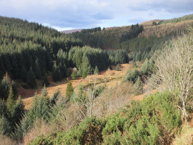
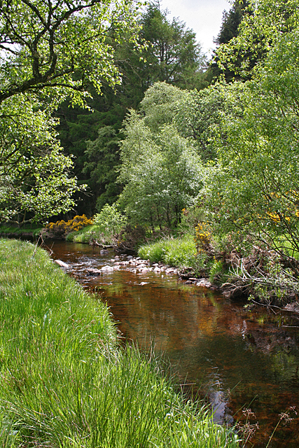
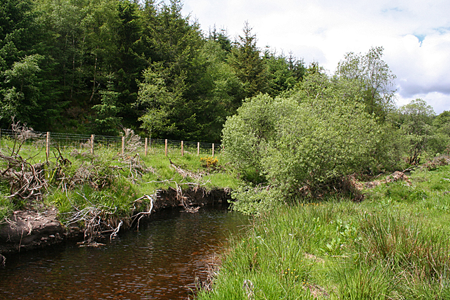
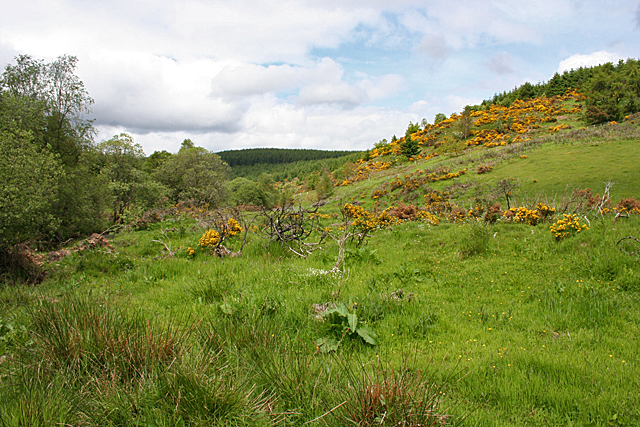
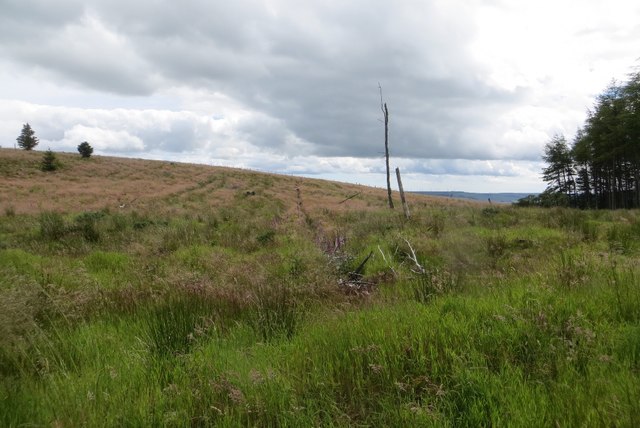
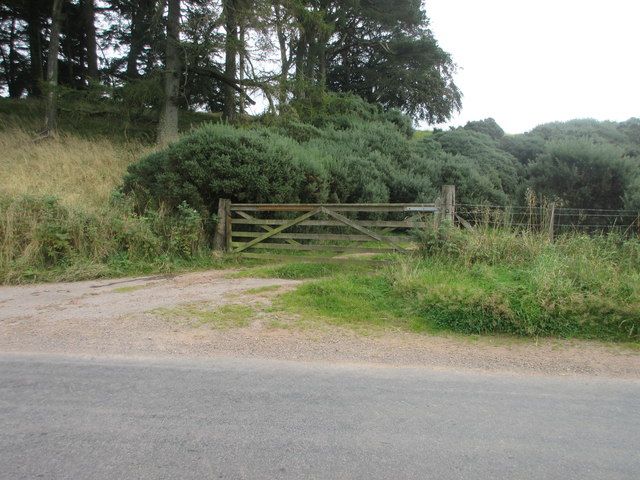
The terrain of Boy's Hill is characterized by rolling hills and lush green pastures. It is adorned with a variety of flora and fauna, making it an ideal spot for nature enthusiasts and hikers. The hill is accessible via well-maintained footpaths, providing visitors with an opportunity to explore its natural beauty.

At the summit of Boy's Hill, visitors are rewarded with breathtaking views that stretch across the surrounding landscape. On a clear day, one can see the shimmering waters of the North Sea in the distance, as well as the nearby towns and villages nestled in the valleys below.

Boy's Hill is not only a natural attraction but also a place of historical significance, offering visitors a chance to immerse themselves in the rich heritage and folklore of Kincardineshire. Its beauty, accessibility, and historical context make it a must-visit destination for those seeking a unique and enriching experience in the Scottish countryside.

If you have any feedback on the listing, please let us know in the comments section below.

Boy's Hill Images

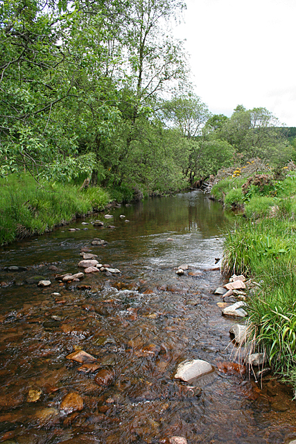
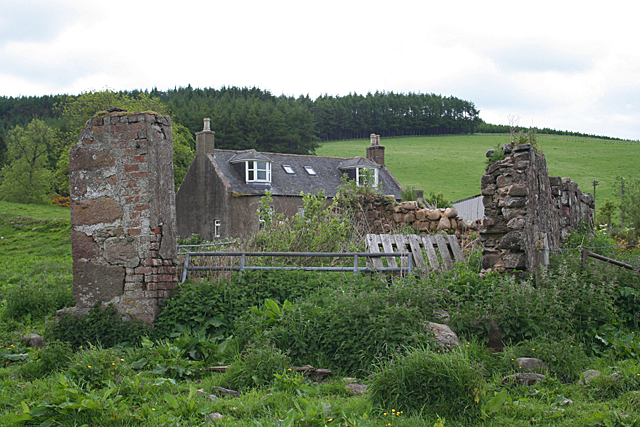
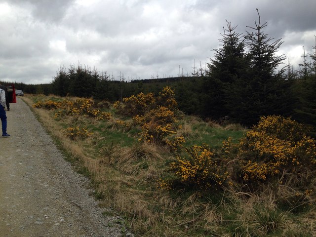
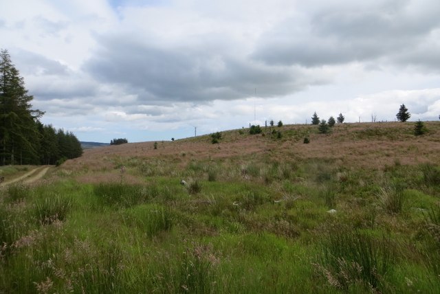
Images are sourced within 2km of 56.928193/-2.4801154 or Grid Reference NO7081. Thanks to Geograph Open Source API. All images are credited.

Track heading downhill Forest track heading down the south-western flank of Scare Hill towards the glen of the Maxie Burn.
Track heading downhill
Forest track heading down the south-western flank of Scare Hill towards the glen of the Maxie Burn.
Looking down on the Bervie Burn Looking down from the track into the glen of the Bervie Burn.
Looking down on the Bervie Burn
Looking down from the track into the glen of the Bervie Burn.
Track near Gaerlie Track heading through the forest west of the summit of Gaerlie.
Track near Gaerlie
Track heading through the forest west of the summit of Gaerlie.
Track cleared of fallen debris Evidence of a once blocked track in Drumtochty Forest.
Track cleared of fallen debris
Evidence of a once blocked track in Drumtochty Forest.
Bervie Water This square is mostly forested, but there is a corner where the Bervie Water flows through more open fields.
Bervie Water
This square is mostly forested, but there is a corner where the Bervie Water flows through more open fields.
Bervie Water Looking upstream. Note how close the forest is to the far bank of the river. Forest plantations take up the majority of this square.
Bervie Water
Looking upstream. Note how close the forest is to the far bank of the river. Forest plantations take up the majority of this square.
Near Corsebauld There's just a small corner of this square made up of rough grazing. It looks as if the whins have been burned, but they are growing again from the roots. It takes more than a fire to get rid of whins.
Near Corsebauld
There's just a small corner of this square made up of rough grazing. It looks as if the whins have been burned, but they are growing again from the roots. It takes more than a fire to get rid of whins.
Bervie Water The water is very clear, although peat-stained. Very tempting, if it had been deep enough to contemplate swimming!
Bervie Water
The water is very clear, although peat-stained. Very tempting, if it had been deep enough to contemplate swimming!
Corsebauld The house at Corsebauld, viewed through the ruins of another building.
Corsebauld
The house at Corsebauld, viewed through the ruins of another building.
Forestry, Shoolbraid Wood
Pines, Drumtochty Forest A small group of trees amongst a large area of denser plantations.
Pines, Drumtochty Forest
A small group of trees amongst a large area of denser plantations.
Drumtochty forest road There were no signs as shown in 2009 <a href="https://www.geograph.org.uk/photo/1453542">NO7082 : Trackside sign in Fetteresso</a>.
Drumtochty forest road
There were no signs as shown in 2009 NO7082 : Trackside sign in Fetteresso.
Larch, Drumtochty Forest A more open bit of forest than along the road to the north.
Larch, Drumtochty Forest
A more open bit of forest than along the road to the north.
Felled area, Drumtochty Forest A small hill was not replanted after the last crop of trees was taken out.
Felled area, Drumtochty Forest
A small hill was not replanted after the last crop of trees was taken out.
Felled area, Drumtochty Forest Felled a while ago and not replanted.
Felled area, Drumtochty Forest
Felled a while ago and not replanted.
Cleared area of forest Cleared area of Drumtochty Forest near the track up Goyle Hill.
Cleared area of forest
Cleared area of Drumtochty Forest near the track up Goyle Hill.
Free Entry But Bull Will Charge Wooden gate at the roadside south of Glenfarquhar Lodge carrying the wording 'FREE ENTRY BUT BULL WILL CHARGE'.
Free Entry But Bull Will Charge
Wooden gate at the roadside south of Glenfarquhar Lodge carrying the wording 'FREE ENTRY BUT BULL WILL CHARGE'.
Glenfarquhar House Converted steadings at Glenfarquhar, viewed from the road to the south.
Glenfarquhar House
Converted steadings at Glenfarquhar, viewed from the road to the south.
Show me another place!

Boy's Hill is located at Grid Ref: NO7081 (Lat: 56.928193, Lng: -2.4801154)

Unitary Authority: Aberdeenshire

Police Authority: North East

What 3 Words

///computers.cost.something. Near Laurencekirk, Aberdeenshire

Nearby Locations

Boy's Hill

Related Wikis

Drumtochty Forest

Drumtochty Forest is a coniferous woodland in Kincardineshire, Scotland. In earlier times this forest was associated with Drumtochty Castle. Other notable...

Kincardineshire

Kincardineshire or the County of Kincardine, also known as the Mearns (from the Scottish Gaelic A' Mhaoirne meaning "the Stewartry"), is a historic county...

Drumtochty Castle

Drumtochty Castle is a neo-gothic style castellated mansion erected in 1812 approximately three kilometres north-west of Auchenblae, Kincardineshire, Scotland...

Fordoun Stone

The Fordoun Stone is a class II Pictish cross slab in Fordoun parish church, Auchenblae, Aberdeenshire, Scotland. == Description == A slab of Old Red Sandstone...

Have you been to Boy's Hill?

Leave your review of Boy's Hill below (or comments, questions and feedback).