Blarourie
Hill, Mountain in Kincardineshire
Scotland
Blarourie

Blarourie is a small hill located in the region of Kincardineshire, Scotland. Situated in the eastern part of the county, it is part of the larger Grampian Mountains range. Blarourie stands at an elevation of approximately 420 meters (1,380 feet) above sea level, making it a modest-sized hill compared to some of its neighboring peaks.
The hill is characterized by its gentle slopes, covered in lush green vegetation during the summer months. It offers breathtaking views of the surrounding countryside, including the picturesque town of Stonehaven to the east and the North Sea to the east and northeast. On clear days, it is even possible to catch a glimpse of the rugged coastline stretching out towards Dunnottar Castle.
Blarourie is a popular destination for outdoor enthusiasts, particularly hikers and nature lovers. There are several well-marked trails that lead up to the summit, providing visitors with an opportunity to explore the diverse flora and fauna of the area. The hill is also home to a variety of bird species, making it an excellent spot for birdwatching.
For those seeking a bit of history, Blarourie is believed to have been inhabited since prehistoric times, with several archaeological sites scattered around its slopes. These sites have yielded artifacts dating back thousands of years, shedding light on the early human settlements in the region.
Overall, Blarourie offers a peaceful and scenic escape for nature enthusiasts, providing a chance to immerse oneself in the natural beauty and history of Kincardineshire.
If you have any feedback on the listing, please let us know in the comments section below.
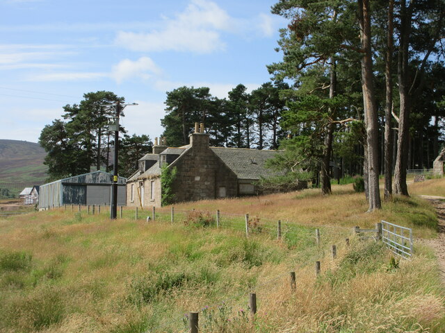
Blarourie Images
Images are sourced within 2km of 56.999091/-2.4890449 or Grid Reference NO7089. Thanks to Geograph Open Source API. All images are credited.


Blarourie is located at Grid Ref: NO7089 (Lat: 56.999091, Lng: -2.4890449)
Unitary Authority: Aberdeenshire
Police Authority: North East
What 3 Words
///intrigues.conceals.retain. Near Banchory, Aberdeenshire
Nearby Locations
Related Wikis

Strachan, Aberdeenshire
Strachan is a village in Aberdeenshire, Scotland that lies along the Water of Feugh, a tributary of the River Dee, Aberdeenshire, a few miles southwest...

Tilquhillie Castle
Tilquhillie Castle is a castle near Banchory in Aberdeenshire, Scotland. A Category A listed building, the castle formally formed part of the lands of...

Scolty Hill
Scolty Hill is a small hill south of the Deeside town, Banchory. Its best known feature is the 20m tall tower monument, built in 1840 as a memorial to...

Braehead, Banchory
Braehead, Banchory is a proposed major housing development to the south of Banchory, Aberdeenshire, Scotland. The site is home to Braehead farm, formerly...
Craiginour
Craiginour is a hill located near Cowie Water in Stonehaven, Aberdeenshire, Scotland. Its summit is at 355 metres (1,165 ft). == References ==

Water of Feugh
The Water of Feugh (pronounced:few-ikh) is a stream in Aberdeenshire that is the largest tributary to the River Dee. This stream rises in the Grampian...

Dee Street Halt railway station
Dee Street Halt railway station was a short-lived stopping place on the Aberdeen and Ballater railway branch. It was situated at 17 miles 30 chains (28...

Banchory railway station
Banchory railway station was situated on the Aberdeen and Ballater branch (the Deeside Line). It was situated at 16 miles 72 chains (27.2 km) from Aberdeen...
Have you been to Blarourie?
Leave your review of Blarourie below (or comments, questions and feedback).