Pudgement Hill

Hill, Mountain in Northumberland

England

Pudgement Hill

Forest track and public bridleway A forest track used to access a deeper part of the plantation.
Forest track and public bridleway Credit: Graham Robson

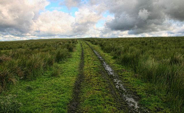
Pudgement Hill, located in Northumberland, is a prominent hill which stands at an elevation of approximately 400 meters (1,312 feet) above sea level. The hill is situated within the Northumberland National Park, a designated Area of Outstanding Natural Beauty in the northeastern region of England.

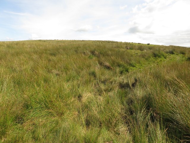
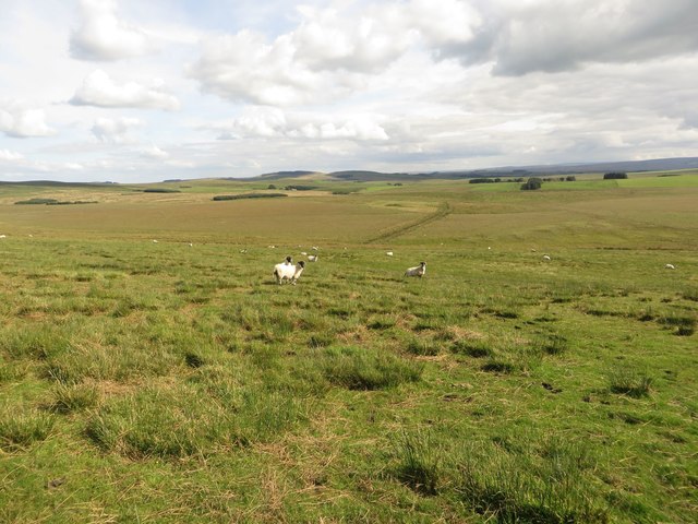
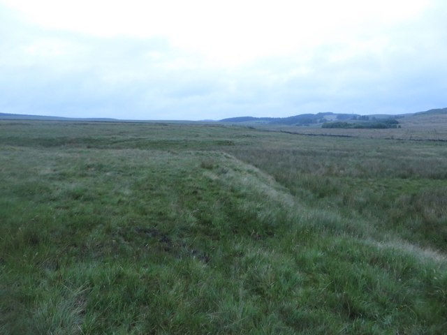
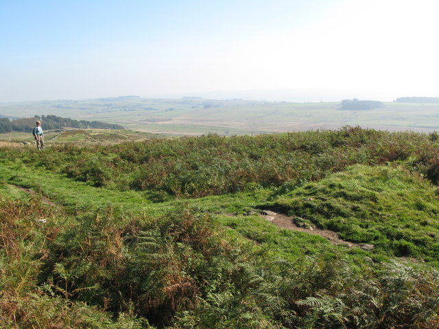
Pudgement Hill offers breathtaking panoramic views of the surrounding countryside, including the Cheviot Hills to the west and the North Sea coast to the east. Its strategic location provides visitors with a unique opportunity to witness the diverse landscapes of Northumberland, from rolling hills and lush valleys to rugged moorlands.

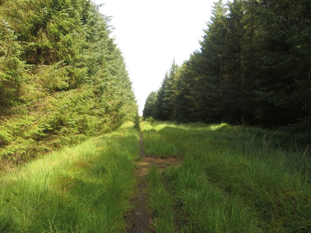
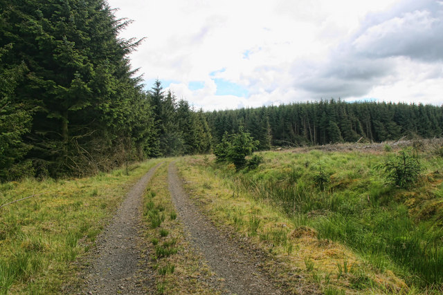
The hill is a popular destination for outdoor enthusiasts, attracting hikers, walkers, and nature lovers alike. Several well-marked trails and footpaths lead up to the summit, allowing visitors to explore the region's rich flora and fauna. The area is home to a variety of wildlife, including birds of prey, such as kestrels and buzzards.

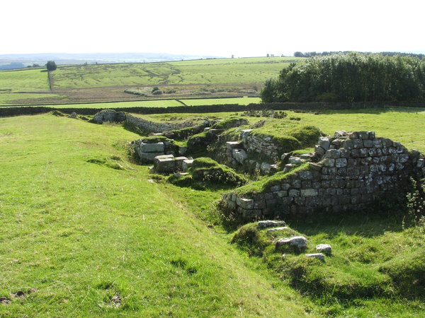
Pudgement Hill also holds historical significance, with evidence of Iron Age settlements found in the vicinity. The hill's name is believed to have Celtic origins, reflecting its ancient heritage.

As part of the Northumberland National Park, Pudgement Hill is managed and protected to preserve its natural beauty and biodiversity. The park authorities provide facilities for visitors, including parking areas and information boards, ensuring a safe and enjoyable experience for all who visit.

Overall, Pudgement Hill stands as a stunning natural landmark in Northumberland, offering both recreational opportunities and a glimpse into the region's rich history and natural heritage.

If you have any feedback on the listing, please let us know in the comments section below.

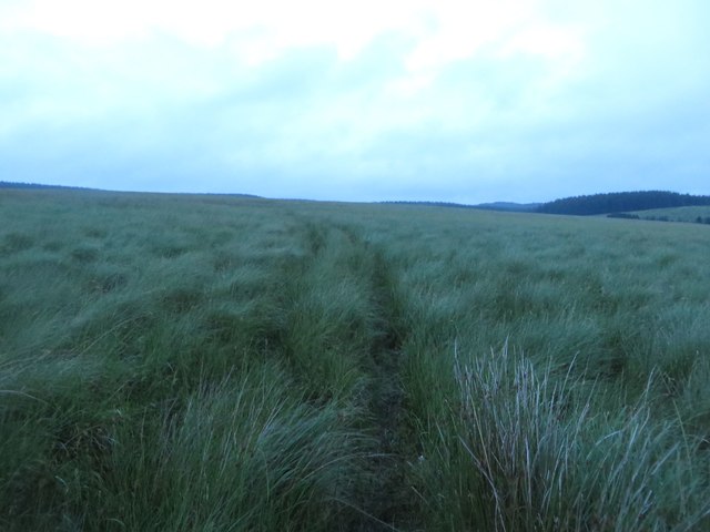
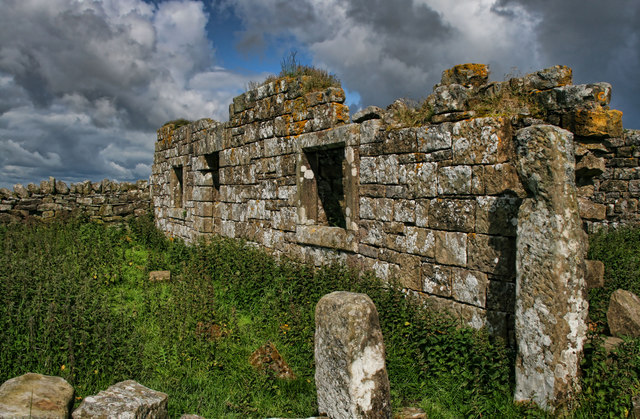
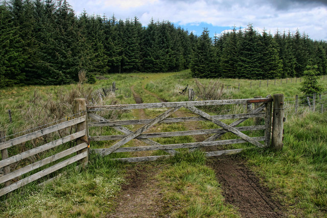
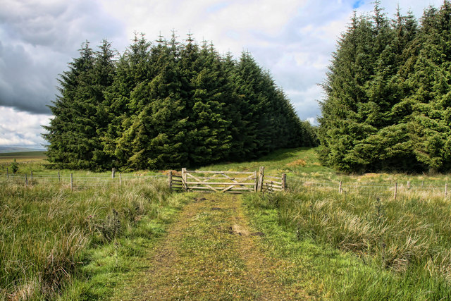
Pudgement Hill Images

Images are sourced within 2km of 55.024905/-2.4695731 or Grid Reference NY7070. Thanks to Geograph Open Source API. All images are credited.

Forest track and public bridleway A forest track used to access a deeper part of the plantation.
Forest track and public bridleway
A forest track used to access a deeper part of the plantation.
Path on Burn Divot A path approaching the top of Burn Divot from the north west where it meets the boundary of a never ending coniferous plantation known as Wark Forest.
Path on Burn Divot
A path approaching the top of Burn Divot from the north west where it meets the boundary of a never ending coniferous plantation known as Wark Forest.
Sheep grazing on Burn Divot The upland pasture around Burn Divot is grazed by a number of sheep which are spread out across the landscape.
Sheep grazing on Burn Divot
The upland pasture around Burn Divot is grazed by a number of sheep which are spread out across the landscape.
Footpath east of Pudgement Hill Looking east across the rough ground between Pudgement Hill and Burndivot Common. A footpath crosses the land connecting Whiteside and Scotchcoulthard  but this wasn't exactly clear on the ground.
Footpath east of Pudgement Hill
Looking east across the rough ground between Pudgement Hill and Burndivot Common. A footpath crosses the land connecting Whiteside and Scotchcoulthard but this wasn't exactly clear on the ground.
Footpath west of Scotchcoulthard Looking north along the route of a public footpath crossing rough ground covered in long (and wet) grass to the west of Scotchcoulthard.
Footpath west of Scotchcoulthard
Looking north along the route of a public footpath crossing rough ground covered in long (and wet) grass to the west of Scotchcoulthard.
Burn Divot The derelict cottage at Burn Divot.
Burn Divot
The derelict cottage at Burn Divot.
Thirlwall Common (North Side) Looking across Thirlwall Common from near Burn Divot.
Thirlwall Common (North Side)
Looking across Thirlwall Common from near Burn Divot.
Lamb Rigg Gate at the edge of the forest beneath Lamb Rigg.
Lamb Rigg
Gate at the edge of the forest beneath Lamb Rigg.
Cross Rigg Track leading into the forest at Cross Rigg.
Cross Rigg
Track leading into the forest at Cross Rigg.
Pudgement Hill Track on Pudgement Hill.
Pudgement Hill
Track on Pudgement Hill.
Hummell Knowe Track through the forest near Hummell Knowe.
Hummell Knowe
Track through the forest near Hummell Knowe.
Footbridge over Tipalt Burn
Footpath through Scotchcoultard Waste
Scotchcoultard This was obviously a farm at one time and there are still some animals here.  I have a feeling it may have some holiday accommodation, possibly self catering.
Scotchcoultard
This was obviously a farm at one time and there are still some animals here. I have a feeling it may have some holiday accommodation, possibly self catering.
Bridge over Tipalt Burn
Burndivot Common
Burndivot Common
Burndivot Common
Burndivot Common
Scotchcoultard
Scotchcoultard
Show me another place!

Pudgement Hill is located at Grid Ref: NY7070 (Lat: 55.024905, Lng: -2.4695731)

Unitary Authority: Northumberland

Police Authority: Northumbria

What 3 Words

///manicured.crate.talkers. Near Haltwhistle, Northumberland

Nearby Locations

Pudgement Hill

Related Wikis

Milecastle 43

Milecastle 43 (Great Chesters) was a milecastle on Hadrian's Wall (grid reference NY70356684). It was obliterated when the fort at Great Chesters (Aesica...

Aesica

Aesica (with the modern name of Great Chesters) was a Roman fort, one and a half miles north of the small town of Haltwhistle in Northumberland, England...

Northumbria

Northumbria (; Old English: Norþanhymbra rīċe [ˈnorˠðɑnˌhymbrɑ ˈriːt͡ʃe]; Latin: Regnum Northanhymbrorum) was an early medieval Anglo-Saxon kingdom in...

Milecastle 44

Milecastle 44 (Allolee) was a milecastle on Hadrian's Wall (grid reference NY68886694). == Description == Milecastle 44 is located about 1.5 kilometres...

Nearby Amenities

Located within 500m of 55.024905,-2.4695731
Pudgment Hill
Place: locality
Lat/Long: 55.0250012/-2.4689438
The data included in this document is from www.openstreetmap.org. The data is made available under ODbL.

Have you been to Pudgement Hill?

Leave your review of Pudgement Hill below (or comments, questions and feedback).