Bond Hill
Hill, Mountain in Yorkshire Ribble Valley
England
Bond Hill
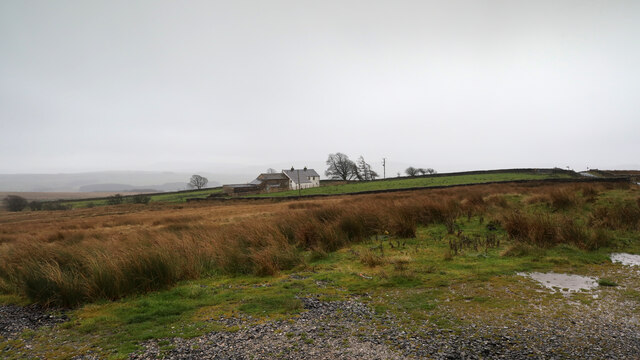
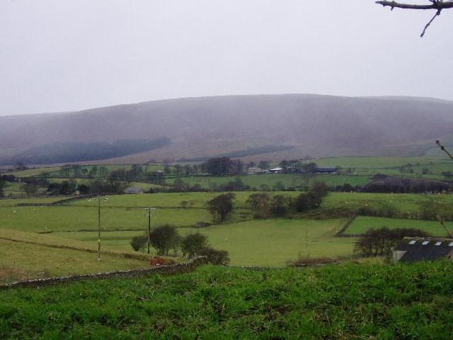
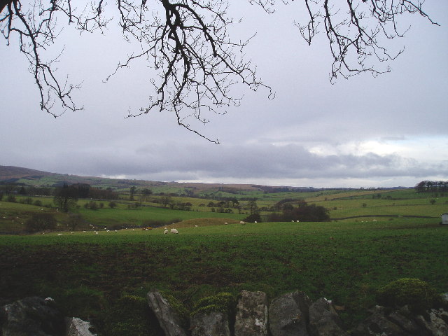
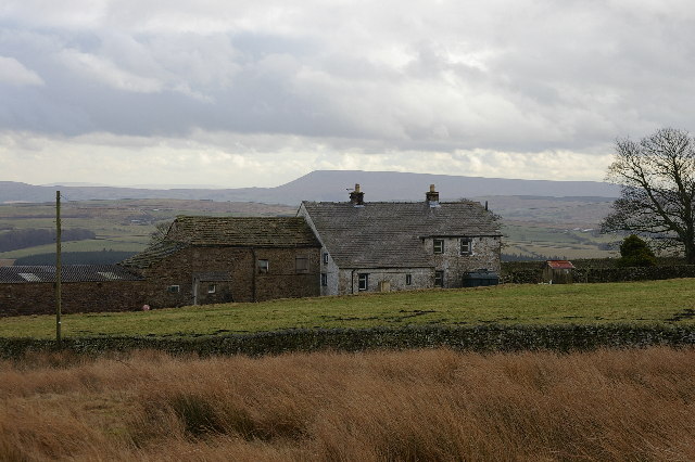
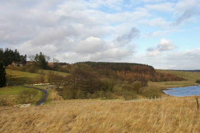
Bond Hill is a prominent hill located in the county of Yorkshire, England. Situated in the Yorkshire Dales National Park, it is part of the larger Pennine range, renowned for its scenic beauty and rich natural heritage. Rising to an elevation of approximately 389 meters (1,276 feet), Bond Hill offers panoramic views of the surrounding countryside.
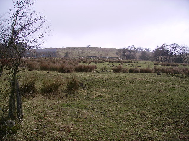
The hill is characterized by its gentle slopes, covered in heather moorland and scattered with limestone outcrops. These geological features not only add to its visual appeal but also provide habitats for various flora and fauna. Bond Hill is home to a diverse range of plant species, including heather, bilberry, and cotton grass, which thrive in the acidic soil found in this area.
Furthermore, the hill serves as an important habitat for numerous bird species. Visitors may spot birds of prey such as kestrels and peregrine falcons soaring overhead, while the call of the curlew and skylark can often be heard in the distance.
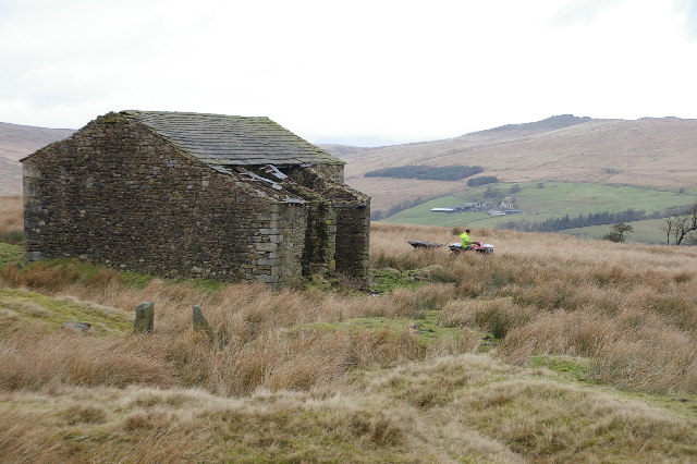
Bond Hill is a popular destination for hikers and nature enthusiasts, offering a variety of walking trails that cater to different fitness levels. The paths meander through the rolling landscape, allowing visitors to immerse themselves in the serene atmosphere and take in the breathtaking views. Additionally, the hill provides an ideal location for picnics, providing a peaceful retreat amidst the picturesque Yorkshire countryside.
Overall, Bond Hill is a splendid natural landmark in Yorkshire, offering visitors the opportunity to appreciate the region's natural beauty and immerse themselves in the tranquility of the countryside.
If you have any feedback on the listing, please let us know in the comments section below.
Bond Hill Images
Images are sourced within 2km of 53.991751/-2.4583085 or Grid Reference SD7055. Thanks to Geograph Open Source API. All images are credited.


Bond Hill is located at Grid Ref: SD7055 (Lat: 53.991751, Lng: -2.4583085)
Division: West Riding
Administrative County: Lancashire
District: Ribble Valley
Police Authority: Lancashire
What 3 Words
///survey.proofread.durations. Near Waddington, Lancashire
Nearby Locations
Related Wikis

Geography of the United Kingdom
The United Kingdom is a sovereign state located off the north-western coast of continental Europe. With a total area of approximately 248,532 square kilometres...

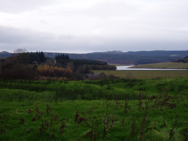
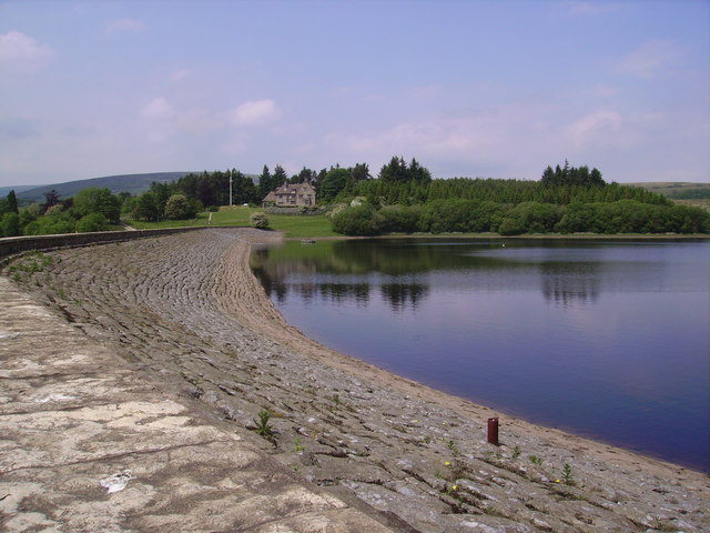
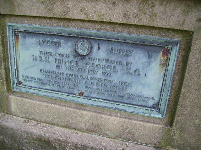
Stocks Reservoir
Stocks Reservoir is a reservoir situated at the head of the Hodder valley in the Forest of Bowland, Lancashire, England (historically in the West Riding...

Lancashire Witches Walk
The Lancashire Witches Walk is a 51-mile (82 km) long-distance footpath opened in 2012, between Barrowford and Lancaster, all in Lancashire, England. It...

King's House, Slaidburn
King's House is a Grade II listed building in Slaidburn, Lancashire, England, now used as a youth hostel. It was originally built in the 18th century,...

Slaidburn
Slaidburn () is a village and civil parish within the Ribble Valley district of Lancashire, England. The parish covers just over 5,000 acres of the Forest...

St Andrew's Church, Slaidburn
St Andrew's Church is in Church Street, Slaidburn, Lancashire, England. It is an active Anglican parish church in the deanery of Bowland, the archdeaconry...

Easington, Lancashire
Easington () is a civil parish within the Ribble Valley district of Lancashire, England, with a population in 2001 of 52. The Census 2011 population details...

White Hill (Forest of Bowland)
White Hill is a hill in the Forest of Bowland, north-western England. It lies between Slaidburn and High Bentham. The summit houses a tower and a trig...
Nearby Amenities
Located within 500m of 53.991751,-2.4583085Have you been to Bond Hill?
Leave your review of Bond Hill below (or comments, questions and feedback).