Turkeytarn Hill
Hill, Mountain in Westmorland Eden
England
Turkeytarn Hill
Turkeytarn Hill is a prominent hill located in the county of Westmorland, England. Situated in the Lake District National Park, it is a popular destination for hikers and nature enthusiasts. Rising to an elevation of 2,026 feet (617 meters), the hill offers breathtaking panoramic views of the surrounding landscape.
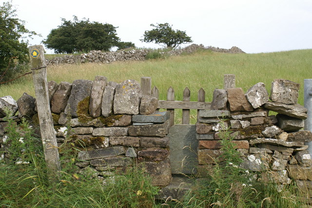
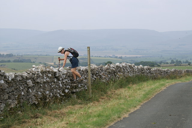
The ascent to Turkeytarn Hill begins from the picturesque village of Patterdale. The trail winds its way through verdant meadows, dense woodlands, and babbling streams, providing a delightful experience for walkers. As the path steepens, it leads to a rocky ridge which can be challenging for some, but rewards climbers with stunning vistas of Ullswater, the second largest lake in the Lake District.
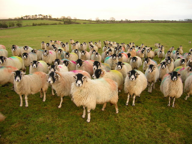
The summit of Turkeytarn Hill features a small tarn, a mountain lake formed by glaciation. This tranquil body of water adds to the charm and allure of the hill, attracting photographers and nature lovers alike. The hill is also home to a diverse range of flora and fauna, including heather, bilberry, and various bird species.
For those seeking further exploration, Turkeytarn Hill can be incorporated into longer hikes, such as the famous Helvellyn Ridge walk. This challenging route allows adventurers to experience the beauty of multiple peaks in the area, including the renowned Helvellyn mountain.
In summary, Turkeytarn Hill offers a fulfilling outdoor experience with its scenic beauty, diverse wildlife, and captivating views. Whether it's a leisurely stroll or a more challenging hike, this Westmorland gem is sure to leave visitors with a lasting impression.
If you have any feedback on the listing, please let us know in the comments section below.
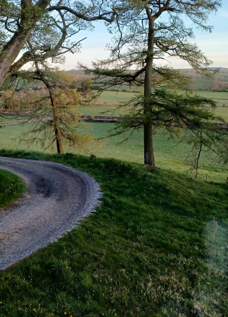
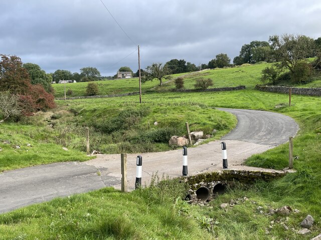
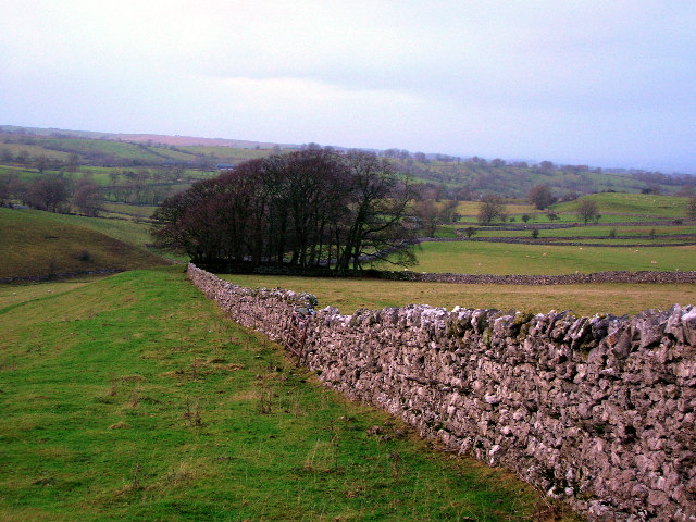
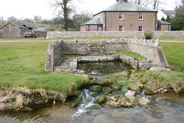
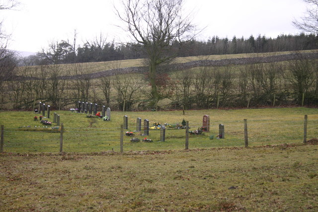
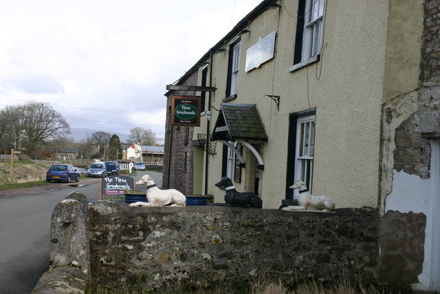
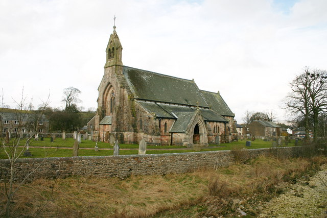
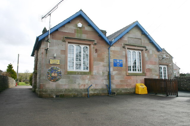
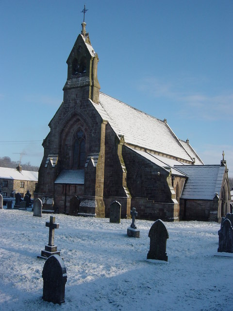
Turkeytarn Hill Images
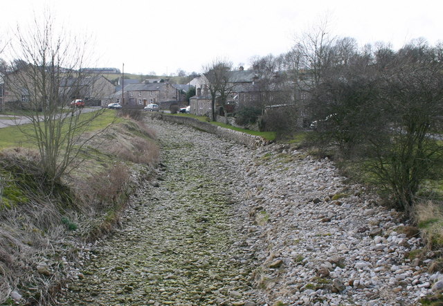
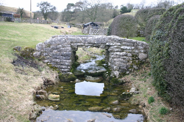
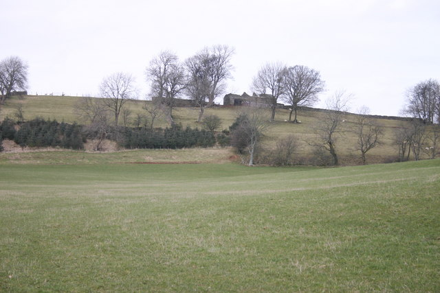
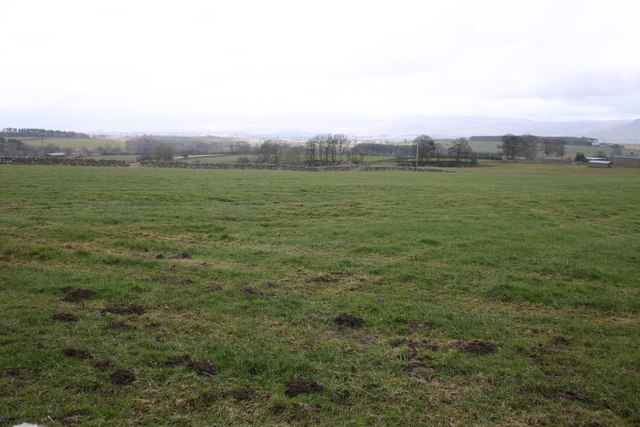
Images are sourced within 2km of 54.509315/-2.4770283 or Grid Reference NY6912. Thanks to Geograph Open Source API. All images are credited.

Turkeytarn Hill is located at Grid Ref: NY6912 (Lat: 54.509315, Lng: -2.4770283)
Administrative County: Cumbria
District: Eden
Police Authority: Cumbria
What 3 Words
///prowl.arriving.keyboards. Near Appleby-in-Westmorland, Cumbria
Nearby Locations
Related Wikis

Asby, Eden
Asby is a civil parish in the Eden district of Cumbria, England. Historically part of Westmorland, it includes the villages of Great Asby and Little Asby...

Great Asby
Great Asby is a village in Cumbria, England. Historically part of Westmorland, it is located approximately 15 miles (24 km) south east of Penrith and approximately...

Pate Hole
Pate Hole is a solutional cave located adjacent to Asby Gill 1 kilometre (0.62 mi) south of Great Asby in Cumbria, England. It is 970 metres (3,180 ft...
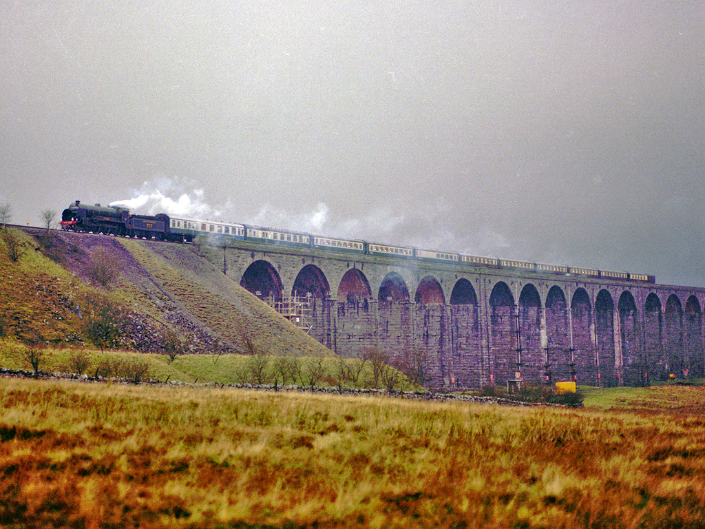
Settle–Carlisle line
The Settle–Carlisle line (also known as the Settle and Carlisle (S&C)) is a 73-mile-long (117 km) main railway line in northern England. The route, which...
Nearby Amenities
Located within 500m of 54.509315,-2.4770283Have you been to Turkeytarn Hill?
Leave your review of Turkeytarn Hill below (or comments, questions and feedback).