Bushy Hill

Hill, Mountain in Gloucestershire Forest of Dean

England

Bushy Hill

Village Hall, Awre Had a pleasant pair of Gates commemorating the Queen's Silver Jubilee in 1977.
Village Hall, Awre Credit: Stuart Wilding

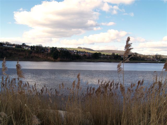
Bushy Hill is a prominent hill located in the county of Gloucestershire, England. Situated near the town of Stroud, it is part of the Cotswold Hills, an area renowned for its picturesque landscapes and rolling hills. Bushy Hill is a notable natural feature in the region, offering stunning views of the surrounding countryside.

Rising to an elevation of approximately 270 meters (885 feet), Bushy Hill is not particularly high compared to other mountains, but it provides a challenging climb for outdoor enthusiasts. The hill is characterized by its dense vegetation, with an abundance of trees, shrubs, and wildflowers covering its slopes. It is home to various species of wildlife, including birds, rabbits, and squirrels.

Bushy Hill attracts visitors for its scenic beauty and recreational opportunities. Many hikers and nature lovers frequent the area, taking advantage of the numerous trails that crisscross the hill. These trails offer a range of difficulty levels, catering to both casual strollers and experienced trekkers. The routes wind through woodlands, open fields, and occasionally offer panoramic vistas of the Cotswold countryside.

The hill is also a popular spot for paragliding and hang gliding, with its elevated position and favorable wind conditions providing an ideal launching point. On clear days, colorful gliders can be seen soaring through the sky, adding to the allure of the area.

Overall, Bushy Hill in Gloucestershire is a natural gem, offering a picturesque setting, diverse wildlife, and recreational opportunities for those seeking to immerse themselves in the beauty of the Cotswold Hills.

If you have any feedback on the listing, please let us know in the comments section below.
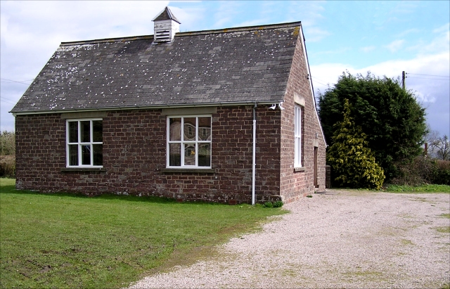
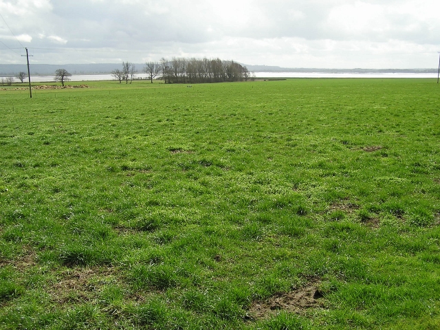
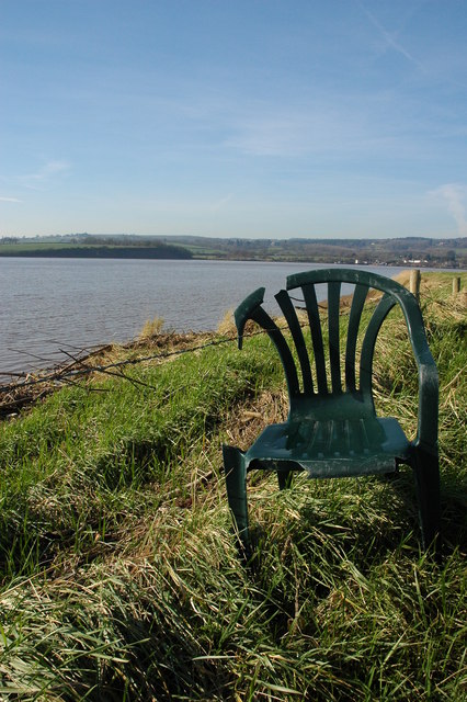
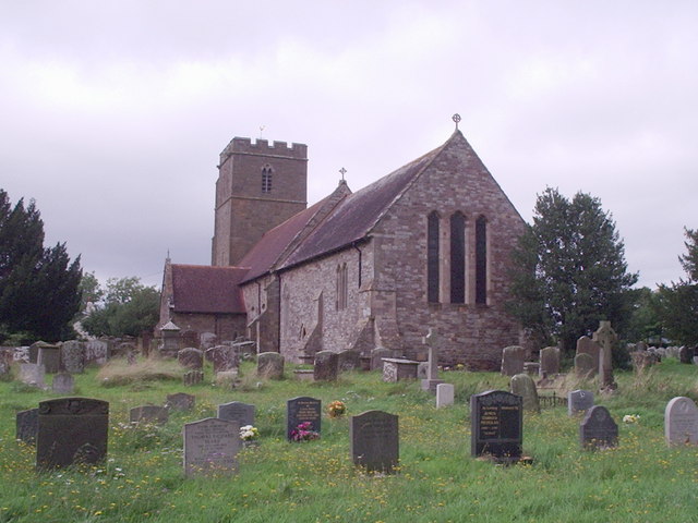
Bushy Hill Images

Images are sourced within 2km of 51.773663/-2.4516174 or Grid Reference SO6808. Thanks to Geograph Open Source API. All images are credited.

Village Hall, Awre Had a pleasant pair of Gates commemorating the Queen's Silver Jubilee in 1977.
Village Hall, Awre
Had a pleasant pair of Gates commemorating the Queen's Silver Jubilee in 1977.
Farmland, Awre Picture taken from the Severn Way across farmland to the River Severn itself.
Farmland, Awre
Picture taken from the Severn Way across farmland to the River Severn itself.
Flotsam on the bank of the River Severn A plastic chair is caught on barbed wire on the bank of the River Severn to the south of Arlingham.
Flotsam on the bank of the River Severn
A plastic chair is caught on barbed wire on the bank of the River Severn to the south of Arlingham.
Parish Church Awre
Parish Church Awre
A choir of angels in Awre churchyard.
Severn bank near Awre Looking north-east, erosion is a factor with this stretch of the estuary's north coast.
Severn bank near Awre
Looking north-east, erosion is a factor with this stretch of the estuary's north coast.
North bank of the Severn With the remains of an old groyne being uncovered in receding tide.
In the distance right is Berkeley Power Station.
Thanks to a suggestion by another member.
A minor amendment to the description, this is in fact the remains of a salmon fishing putcher rank or a fix engine for salmon fishing.
(May 2012)
North bank of the Severn
With the remains of an old groyne being uncovered in receding tide. In the distance right is Berkeley Power Station. Thanks to a suggestion by another member. A minor amendment to the description, this is in fact the remains of a salmon fishing putcher rank or a fix engine for salmon fishing. (May 2012)
River Severn
River Severn
River Severn
River Severn
Phone box outside the Village Hall in Awre
Awre Church
Awre Church
The Red Hart Inn, Awre
Awre Church Awre church is dedicated to St Andrew.
Awre Church
Awre church is dedicated to St Andrew.
Gravestone to Pte Frank Huins A poignant reminder on remembrance weekend, this gravestone near the entrance porch to Awre church appears to be a very recent addition.  It is in memory of Pte Frank Huins of the 14th Batt Gloucester Reg. who fell on 2 March 1916 in France.  A search of the Commonwealth War Graves site reveals he was buried at Le Touret Military Cemetery, Richebourg-L'Avoue.
Gravestone to Pte Frank Huins
A poignant reminder on remembrance weekend, this gravestone near the entrance porch to Awre church appears to be a very recent addition. It is in memory of Pte Frank Huins of the 14th Batt Gloucester Reg. who fell on 2 March 1916 in France. A search of the Commonwealth War Graves site reveals he was buried at Le Touret Military Cemetery, Richebourg-L'Avoue.
Electricity pylons, Awre These are two very tall electricity pylons on the southern bank of the River Severn at Awre.
Electricity pylons, Awre
These are two very tall electricity pylons on the southern bank of the River Severn at Awre.
River bank at Awre View across fields beside the River Severn to the north of Awre.  The two tall pylons carry power cables across the river to Arlingham on the other bank.  A tractor is hedge cutting in the next field.
River bank at Awre
View across fields beside the River Severn to the north of Awre. The two tall pylons carry power cables across the river to Arlingham on the other bank. A tractor is hedge cutting in the next field.
The Red Hart Inn, Awre The Red Hart Inn in the centre of the small scattered village of Awre.
The Red Hart Inn, Awre
The Red Hart Inn in the centre of the small scattered village of Awre.
War memorial in Awre War memorial in the small village of Awre.
War memorial in Awre
War memorial in the small village of Awre.
Show me another place!

Bushy Hill is located at Grid Ref: SO6808 (Lat: 51.773663, Lng: -2.4516174)

Administrative County: Gloucestershire

District: Forest of Dean

Police Authority: Gloucestershire

What 3 Words

///hang.ruffling.relieves. Near Frampton on Severn, Gloucestershire

Nearby Locations

Bushy Hill

Related Wikis

Bledisloe Tump

Bledisloe Tump was a castle in the village of Awre in Gloucestershire, England. == History == The first castle on the site was built in the 11th or early...

Awre for Blakeney railway station

Awre for Blakeney railway station is a closed railway station in Gloucestershire, England, which served both the village of Awre and the town of Blakeney...

Awre

Awre () is a village, civil parish and electoral ward in the Forest of Dean District of Gloucestershire, England, near the River Severn. Both the parish...

Severn tunnel (1810)

The Severn tunnel of 1810 was an unsuccessful plan for a tramroad tunnel beneath the River Severn. The tunnel was to cross the river at Arlingham Passage...

Bullo Cross Halt railway station

Bullo Cross Halt railway station is a disused railway station opened by the former Bullo Pill Railway, later known as the (Great Western Railway) Forest...

Blakeney, Gloucestershire

Blakeney is a village in Gloucestershire, England. It in the parish of Awre and has views of the Forest of Dean. It was the site of a Roman villa, dating...

Lightship 2000

Lightship 2000 (Welsh: Goleulong 2000) was a restored old red lightvessel with a cafe and chapel on board situated in Cardiff Bay. During the redevelopment...

Ruddle Road Halt railway station

Ruddle Road Halt railway station was a minor station on the Gloucester-Newport Railway on the outskirts of Newnham, Gloucestershire. It was also the start...

Nearby Amenities

Located within 500m of 51.773663,-2.4516174
Bushy Hill
Place: locality
Source: OS Opendata Streetview
Lat/Long: 51.7715127/-2.4482245
Power: tower
Lat/Long: 51.7725385/-2.4472831
Power: tower
Lat/Long: 51.7721877/-2.4462863
Power: tower
Lat/Long: 51.7703846/-2.4491313
Power: tower
Lat/Long: 51.7713931/-2.4495195
Power: pole
Lat/Long: 51.7776282/-2.4523149
Power: pole
Lat/Long: 51.7766791/-2.4514001
Power: pole
Lat/Long: 51.7760003/-2.4507039
Power: pole
Lat/Long: 51.775264/-2.4499794
Power: pole
Lat/Long: 51.7746053/-2.449356
Power: pole
Lat/Long: 51.7739115/-2.4486436
Power: pole
Lat/Long: 51.7731151/-2.447919
Hall Farm PV Substation
Brand: National Grid
Brand Wikidata: Q1465461
Operator: National Grid Electricity Distribution Plc
Operator Old: Western Power Distribution
Operator Wikidata: Q7988183
Owner: National Grid Electricity Distribution (West Midlands) Plc
Owner Wikidata: Q114397791
Power: substation
Ref GB Wpd Site: 795669
Voltage: 33000
Lat/Long: 51.7724483/-2.4454789
Power: pole
Lat/Long: 51.7725794/-2.4473937
Power: pole
Lat/Long: 51.7731612/-2.4478443
Power: pole
Lat/Long: 51.7725006/-2.4471536
Power: pole
Lat/Long: 51.7728184/-2.4474768
Location Transition: yes
Power: pole
Lat/Long: 51.7728491/-2.4475077
The data included in this document is from www.openstreetmap.org. The data is made available under ODbL.

Have you been to Bushy Hill?

Leave your review of Bushy Hill below (or comments, questions and feedback).