Chapel Hill

Hill, Mountain in Gloucestershire Forest of Dean

England

Chapel Hill

Barn in Home Farm, Flaxley This barn, possibly a former tithe barn, is now unused, although the field surrounding it is now used for cattle.
Barn in Home Farm, Flaxley Credit: Pebble

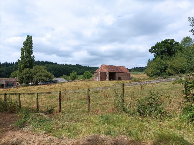
Chapel Hill is a picturesque hill located in the rural county of Gloucestershire, England. Standing at an elevation of approximately 100 meters, it offers breathtaking views of the surrounding countryside. Situated near the village of Selsley, Chapel Hill is renowned for its natural beauty and historical significance.

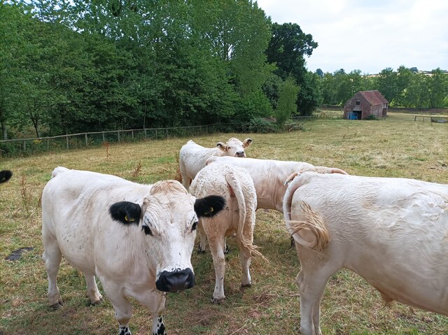
Covered in lush greenery, the hill is predominantly composed of limestone, which adds to its scenic charm. It is dotted with a variety of trees, including oak and beech, creating a vibrant and diverse ecosystem. The hill is a habitat for various wildlife species such as birds, small mammals, and insects, making it a popular destination for nature enthusiasts and birdwatchers.

At the summit of Chapel Hill, visitors can find the remains of a medieval chapel, after which the hill is named. The chapel was constructed in the 12th century and served as a place of worship for local communities. Although now in ruins, it still stands as a testament to the area's rich history.

Chapel Hill is a popular destination for hikers and walkers due to its well-maintained footpaths and trails. The hill offers panoramic views of the Cotswold Hills, the Severn Vale, and the River Severn, providing visitors with a sense of tranquility and awe-inspiring beauty.

Overall, Chapel Hill in Gloucestershire is a haven for those seeking natural beauty, historical charm, and a peaceful retreat from the bustle of modern life. With its stunning views, diverse wildlife, and ancient ruins, it is a place that captivates the hearts of all who visit.

If you have any feedback on the listing, please let us know in the comments section below.
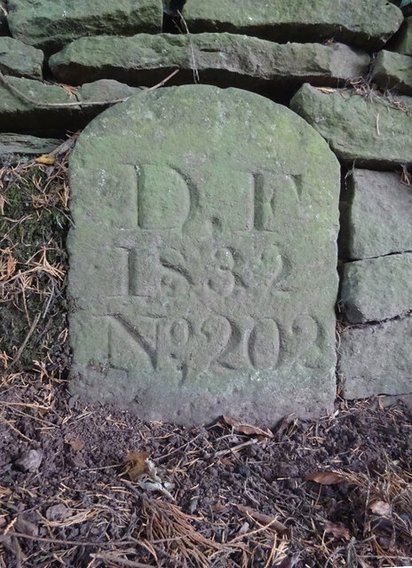
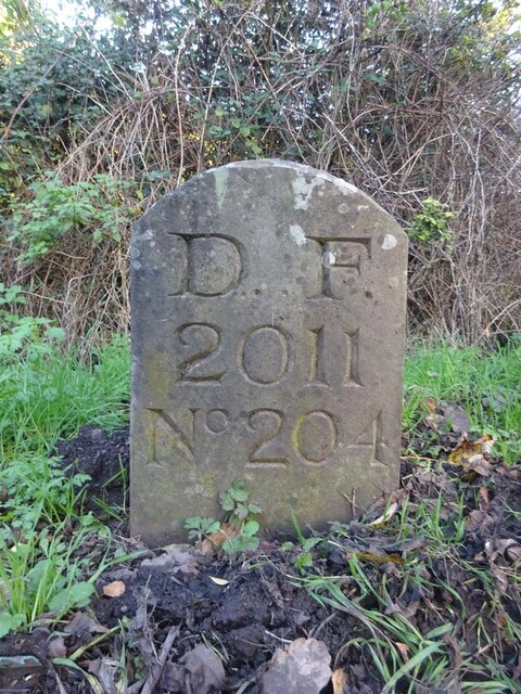
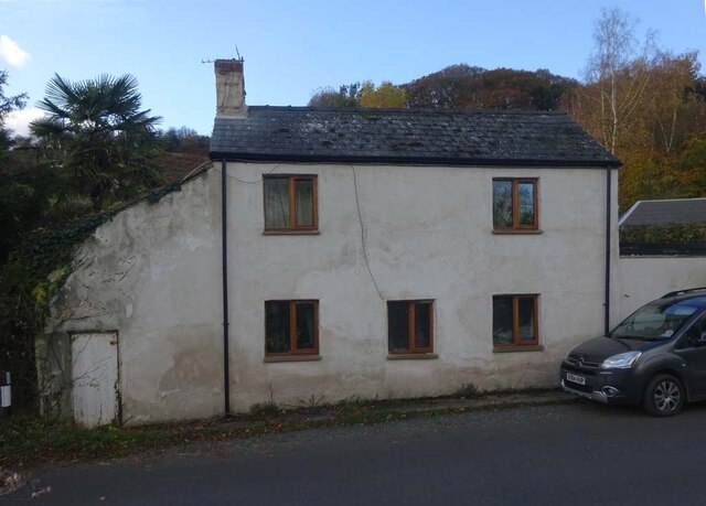
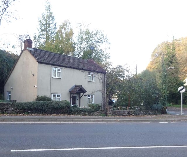
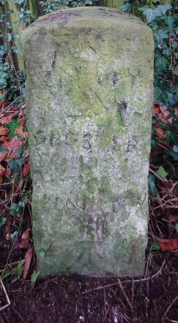
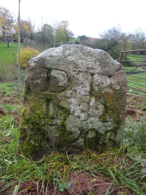
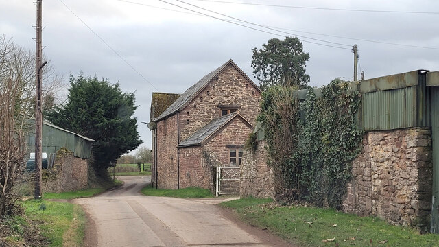
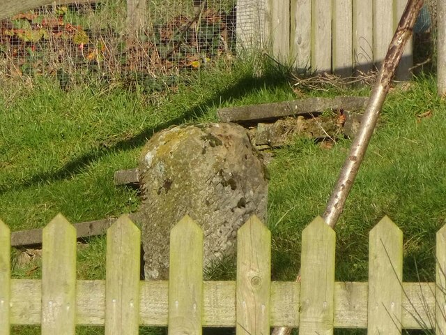
Chapel Hill Images

Images are sourced within 2km of 51.834601/-2.4525029 or Grid Reference SO6815. Thanks to Geograph Open Source API. All images are credited.

Barn in Home Farm, Flaxley This barn, possibly a former tithe barn, is now unused, although the field surrounding it is now used for cattle.
Barn in Home Farm, Flaxley
This barn, possibly a former tithe barn, is now unused, although the field surrounding it is now used for cattle.
White Park cattle The White Park cattle of Home Farm, Flaxley, with a possible former tithe barn in the background.
White Park cattle
The White Park cattle of Home Farm, Flaxley, with a possible former tithe barn in the background.
Yard in Home Farm, Flaxley Yard and barns used for storage.
Yard in Home Farm, Flaxley
Yard and barns used for storage.
Vineyard in Home Farm, Flaxley The most southerly of 3 vineyards owned by Kingsthorne on Home Farm. This vineyard contains Chardonnay only.
Vineyard in Home Farm, Flaxley
The most southerly of 3 vineyards owned by Kingsthorne on Home Farm. This vineyard contains Chardonnay only.
Old Boundary Stone, Littledean "Royal Forest of Dean boundary". In the parish of East Dean, at the slip road leading to Camp Farm, between Littledean and Elton. In a retaining wall. Interestingly, 12.5 metres due South of this stone, in 1877, a hemispherical parcel of land was an exclave of Westbury on Severn, bisecting a farm building.

Inscription: D.F / 1832 / Nᴼ. 202

Milestone Society National ID: GL_DFLITT202em
Old Boundary Stone, Littledean
"Royal Forest of Dean boundary". In the parish of East Dean, at the slip road leading to Camp Farm, between Littledean and Elton. In a retaining wall. Interestingly, 12.5 metres due South of this stone, in 1877, a hemispherical parcel of land was an exclave of Westbury on Severn, bisecting a farm building. Inscription: D.F / 1832 / Nᴼ. 202 Milestone Society National ID: GL_DFLITT202em
Boundary Stone, Denton's Corner In the junction of the A4151 Elton Road with the Slad and Greenway. In the parish of Littledean near Littledean Jail.

Inscription: D.F / 2011 / Nᴼ. 204

Milestone Society National ID: GL_DFLITT204em
Boundary Stone, Denton's Corner
In the junction of the A4151 Elton Road with the Slad and Greenway. In the parish of Littledean near Littledean Jail. Inscription: D.F / 2011 / Nᴼ. 204 Milestone Society National ID: GL_DFLITT204em
Pike House, George Road, Littledean Former Toll House opposite Greenway. Used by the Forest of Dean Turnpike Trust in the 19th Century. See on the map of GB (UK) Toll houses <span class="nowrap"><a title="http://gbth.mister.red/#13/51.828/-2.47859" rel="nofollow ugc noopener" href="http://gbth.mister.red/#13/51.828/-2.47859">Link</a><img style="margin-left:2px;" alt="External link" title="External link - shift click to open in new window" src="https://s1.geograph.org.uk/img/external.png" width="10" height="10"/></span>

Milestone Society National ID: GL.LIT01
Pike House, George Road, Littledean
Former Toll House opposite Greenway. Used by the Forest of Dean Turnpike Trust in the 19th Century. See on the map of GB (UK) Toll houses LinkExternal link Milestone Society National ID: GL.LIT01
Denton's Corner, Littledean A4151 Former Toll House at Denton's Corner where Greenway and the Slad meet the A4151 Gloucester Road. This building served the Elton Turnpike Trust in the 19ᵗʰ Century.

Milestone Society National ID: GL.LIT03
Denton's Corner, Littledean A4151
Former Toll House at Denton's Corner where Greenway and the Slad meet the A4151 Gloucester Road. This building served the Elton Turnpike Trust in the 19ᵗʰ Century. Milestone Society National ID: GL.LIT03
Old Milestone opposite Cherry Tree Farm, Carved stone post by the A4151, in parish of WESTBURY ON SEVERN (FOREST OF DEAN District),
behind railings, on the North side of road. The carved Benchmark  represents 47.3 m ASL.
EC stone, erected by the Forest of Dean turnpike trust in the 19ᵗʰ century.
An earlier image is <a href="https://www.geograph.org.uk/photo/6049831">SO6814 : Old Milestone by the A4151, Cherry Tree Farm, Westbury on Severn parish</a>.

Inscription reads: COLEFORD / 8 / GLOSTER / 11 / LONDON / (??)

Milestone Society National ID: GL_ELCO02
Old Milestone opposite Cherry Tree Farm,
Carved stone post by the A4151, in parish of WESTBURY ON SEVERN (FOREST OF DEAN District), behind railings, on the North side of road. The carved Benchmark represents 47.3 m ASL. EC stone, erected by the Forest of Dean turnpike trust in the 19ᵗʰ century. An earlier image is SO6814 : Old Milestone by the A4151, Cherry Tree Farm, Westbury on Severn parish. Inscription reads: COLEFORD / 8 / GLOSTER / 11 / LONDON / (??) Milestone Society National ID: GL_ELCO02
Old Boundary Stone, Flaxley In a field South of Hangman's Hill and SE of Flaxley church. It marks the boundary of the "Forest of Dean".

Inscription: D. F / 1832 / Nᴼ. 195

Milestone Society National ID: GL_DFLIBL195em
Old Boundary Stone, Flaxley
In a field South of Hangman's Hill and SE of Flaxley church. It marks the boundary of the "Forest of Dean". Inscription: D. F / 1832 / Nᴼ. 195 Milestone Society National ID: GL_DFLIBL195em
Old Boundary Stone, In a field North of the A4151, just beyond the dead end of a Public Right of Way.
It marks the boundary of the "Forest of Dean", and is on the boundary of East Dean and Littledean (1950 parishes).

Inscription: D. F / 1832 / Nᴼ. 203

Milestone Society National ID: GL_DFLITT203em
Old Boundary Stone,
In a field North of the A4151, just beyond the dead end of a Public Right of Way. It marks the boundary of the "Forest of Dean", and is on the boundary of East Dean and Littledean (1950 parishes). Inscription: D. F / 1832 / Nᴼ. 203 Milestone Society National ID: GL_DFLITT203em
Boundary Stone, A4151 Elton Opposite New Road, on the verge set back from the highway. The inscription is of 1832 but the typeface is not Victorian.
It may be that a replacement stone was installed after road widening and bend easing (deduced comparing old maps).
It marks the boundary of the "Forest of Dean", and is on the boundary of East Dean and Westbury on Severn (1950 parishes).

Inscription: D. F / 1832 / Nᴼ. 201

Milestone Society National ID: GL_DFLIWS201em
Boundary Stone, A4151 Elton
Opposite New Road, on the verge set back from the highway. The inscription is of 1832 but the typeface is not Victorian. It may be that a replacement stone was installed after road widening and bend easing (deduced comparing old maps). It marks the boundary of the "Forest of Dean", and is on the boundary of East Dean and Westbury on Severn (1950 parishes). Inscription: D. F / 1832 / Nᴼ. 201 Milestone Society National ID: GL_DFLIWS201em
Old Boundary Stone, Blakemore Hale On the SE side of a track belonging to Blakemore's Hale. It marks the boundary of the "Forest of Dean", and is on the boundary of East Dean and Westbury on Severn (1950 parishes).

Inscription: D. F / 1832 / Nᴼ. 200

Milestone Society National ID: GL_DFLIWS200em
Old Boundary Stone, Blakemore Hale
On the SE side of a track belonging to Blakemore's Hale. It marks the boundary of the "Forest of Dean", and is on the boundary of East Dean and Westbury on Severn (1950 parishes). Inscription: D. F / 1832 / Nᴼ. 200 Milestone Society National ID: GL_DFLIWS200em
Elton Farm The side entrance to this private leisure activity centre.
Elton Farm
The side entrance to this private leisure activity centre.
Boundary Stone, Shapridge An original Forest of Dean boundary stone in the garden of a modern house near Abinghall and Mitcheldean.

Inscription: D. F. / 1832 / Nᴼ. 194

Milestone Society National ID: GL_DFLIMI194em
Boundary Stone, Shapridge
An original Forest of Dean boundary stone in the garden of a modern house near Abinghall and Mitcheldean. Inscription: D. F. / 1832 / Nᴼ. 194 Milestone Society National ID: GL_DFLIMI194em
Boundary Stone, Shapridge Slowly descending the slope beside Gloucestershire footpath DMD35, just North of a gate. The slope is subsiding gently East.

Inscription: D. F. / 1832 / Nᴼ. 193

Milestone Society National ID: GL_DFLIMI193em
Boundary Stone, Shapridge
Slowly descending the slope beside Gloucestershire footpath DMD35, just North of a gate. The slope is subsiding gently East. Inscription: D. F. / 1832 / Nᴼ. 193 Milestone Society National ID: GL_DFLIMI193em
Boundary Stone, Shapridge A Forest of Dean boundary stone at the left hand end of a bridge parapet on the NE verge of the road. The coping stones of the parapet are at 91.2 m Above Sea Level.

Inscription: D. F. / 2009 / Nᴼ. 192

Milestone Society National ID: GL_DFLIMI192em
Boundary Stone, Shapridge
A Forest of Dean boundary stone at the left hand end of a bridge parapet on the NE verge of the road. The coping stones of the parapet are at 91.2 m Above Sea Level. Inscription: D. F. / 2009 / Nᴼ. 192 Milestone Society National ID: GL_DFLIMI192em
Piece of meadow land Edge of the Forest of Dean at Shapridge.
Piece of meadow land
Edge of the Forest of Dean at Shapridge.
Show me another place!

Chapel Hill is located at Grid Ref: SO6815 (Lat: 51.834601, Lng: -2.4525029)

Administrative County: Gloucestershire

District: Forest of Dean

Police Authority: Gloucestershire

What 3 Words

///doubt.amazed.packages. Near Cinderford, Gloucestershire

Related Wikis

Flaxley Abbey

Flaxley Abbey is a former Cistercian monastery in England, now a Grade I listed English country house and private residence, near the village of Flaxley...

Flaxley

Flaxley is a small settlement and former civil parish, now in the parish of Blaisdon, in the Forest of Dean, Gloucestershire, England. It is located in...

Pope's Hill

Pope's Hill is a hill and a small village situated in the east of the Forest of Dean, Gloucestershire within the parish of Littledean. The hill is 12 miles...

Welshbury Hill

Welshbury Hill is an Iron Age hill fort near Mitcheldean in Gloucestershire, England. It is thought to have been built by Celts and dates back to 1600...

Nearby Amenities

Located within 500m of 51.834601,-2.4525029
Flaxley
Is In: Gloucestershire, England, UK
Place: village
Source: NPE
Wikidata: Q5458294
Wikipedia: en:Flaxley
Lat/Long: 51.8345532/-2.4493134
Post Box
Post Box Mounting: telegraph_pole
Post Box Type: lamp
Lat/Long: 51.8337614/-2.4486373
Bus Stop
St Mary's Church
Naptan AtcoCode: 1600GL2021
Naptan Bearing: NW
Naptan CommonName: St Mary's Church
Naptan Indicator: Opp
Naptan NaptanCode: gloamdat
Naptan Street: Main Lane
Naptan Verified: no
Source: naptan_import
Lat/Long: 51.8355445/-2.4533848
Bus Stop
St Mary's Church
Naptan AtcoCode: 1600GL2022
Naptan Bearing: SE
Naptan CommonName: St Mary's Church
Naptan NaptanCode: gloamdga
Naptan Street: Main Lane
Naptan Verified: no
Source: naptan_import
Lat/Long: 51.8356168/-2.4532694
Bus Stop
Flaxley Cottage
Naptan AtcoCode: 1600GLF099
Naptan Bearing: NW
Naptan CommonName: Flaxley Cottage
Naptan Indicator: Opp
Naptan NaptanCode: gloamdja
Naptan Street: Main Street
Naptan Verified: no
Source: naptan_import
Lat/Long: 51.8341904/-2.4504
Bus Stop
Flaxley Cottage
Naptan AtcoCode: 1600GLF100
Naptan Bearing: SE
Naptan CommonName: Flaxley Cottage
Naptan NaptanCode: gloamdjm
Naptan Street: Main Lane
Naptan Verified: no
Source: naptan_import
Lat/Long: 51.8344054/-2.4502965
Bus Stop
Flaxley Village Hall
Naptan AtcoCode: 1600GLF101
Naptan Bearing: SW
Naptan CommonName: Flaxley Village Hall
Naptan NaptanCode: gloamdtg
Naptan Street: Blaisdon Road
Naptan Verified: no
Source: naptan_import
Lat/Long: 51.8335915/-2.4468198
Bus Stop
Flaxley Village Hall
Naptan AtcoCode: 1600GLF102
Naptan Bearing: NE
Naptan CommonName: Flaxley Village Hall
Naptan Indicator: Opp
Naptan NaptanCode: gloamdpt
Naptan Street: Blaisdon Road
Naptan Verified: no
Source: naptan_import
Lat/Long: 51.8336362/-2.4468928
Bus Stop
Blaisdon Turn
Naptan AtcoCode: 1600GLF781
Naptan Bearing: NW
Naptan CommonName: Blaisdon Turn
Naptan Indicator: Opp
Naptan NaptanCode: gloamdpd
Naptan Street: Westbury Rd
Naptan Verified: no
Source: naptan_import
Lat/Long: 51.833571/-2.4474872
Bus Stop
Blaisdon Turn
Naptan AtcoCode: 1600GLF782
Naptan Bearing: SE
Naptan CommonName: Blaisdon Turn
Naptan NaptanCode: gloamdpg
Naptan Street: Westbury Rd
Naptan Verified: no
Source: naptan_import
Lat/Long: 51.833652/-2.447459
Alms House Farm
Landuse: farm
Note Retag: CS #48756035
Source: OS OpenData StreetView
Lat/Long: 51.8320622/-2.4572296
Access: designated
Barrier: stile
Bicycle: no
Foot: designated
Horse: no
Material: metal
Motor Vehicle: no
Stile: squeezer
Lat/Long: 51.8331627/-2.4572832
The data included in this document is from www.openstreetmap.org. The data is made available under ODbL.

Have you been to Chapel Hill?

Leave your review of Chapel Hill below (or comments, questions and feedback).