Craigrath
Hill, Mountain in Kincardineshire
Scotland
Craigrath
Craigrath is a small hill located in Kincardineshire, Scotland. It is situated near the village of Fordoun, approximately 20 miles south of Aberdeen. Rising to a height of around 300 meters (984 feet), it is considered a modest mountain in the region.
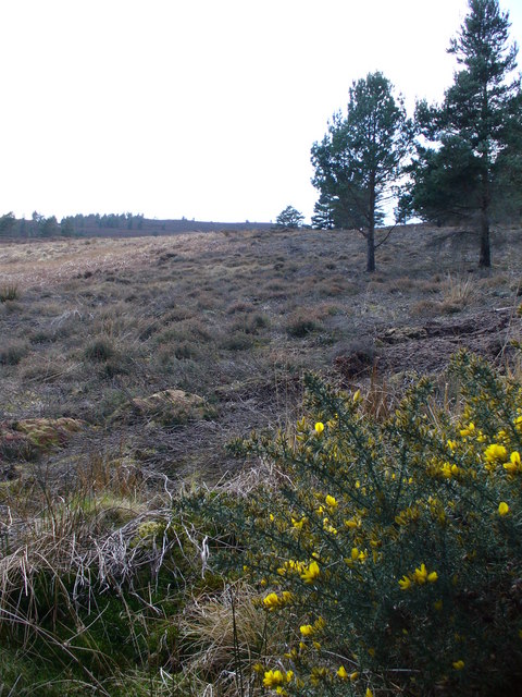
Craigrath is part of the picturesque landscape of Kincardineshire, characterized by rolling hills and stunning natural beauty. The hill is mainly composed of granite, which gives it a rugged and distinctive appearance. It is covered with a combination of heather, grasses, and scattered shrubs, contributing to the hill's overall scenic charm.
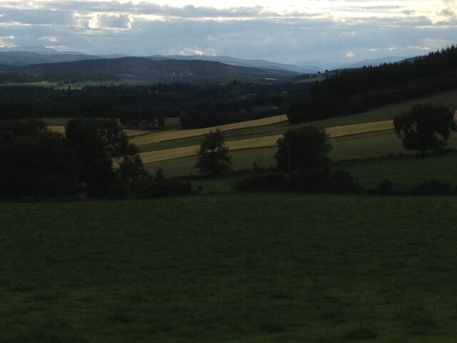
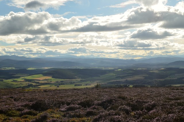
The summit of Craigrath offers breathtaking panoramic views of the surrounding countryside, including the Mearns Valley, the Grampian Mountains, and the North Sea coastline. On a clear day, visitors can see as far as the Cairngorms National Park to the west.
The hill is a popular destination for hikers, nature enthusiasts, and photographers. Several walking trails and paths have been established, allowing visitors to explore the area and take in the stunning vistas. The ascent to the summit is moderately challenging, providing a rewarding experience for those seeking outdoor adventures.
Craigrath is also home to a diverse range of flora and fauna. The hill supports a variety of bird species, such as red grouse, skylarks, and meadow pipits. The heather-covered slopes attract butterflies and other insects, adding to the biodiversity of the area.
Overall, Craigrath in Kincardineshire offers a tranquil and scenic escape for nature lovers, providing an opportunity to immerse oneself in the beauty of the Scottish countryside.
If you have any feedback on the listing, please let us know in the comments section below.
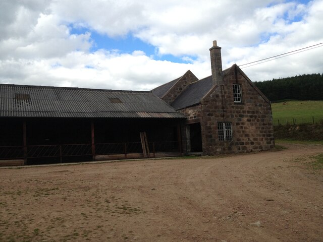
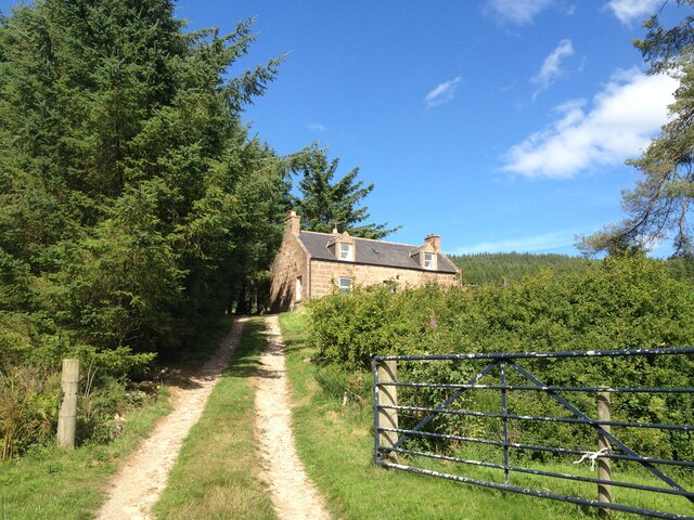
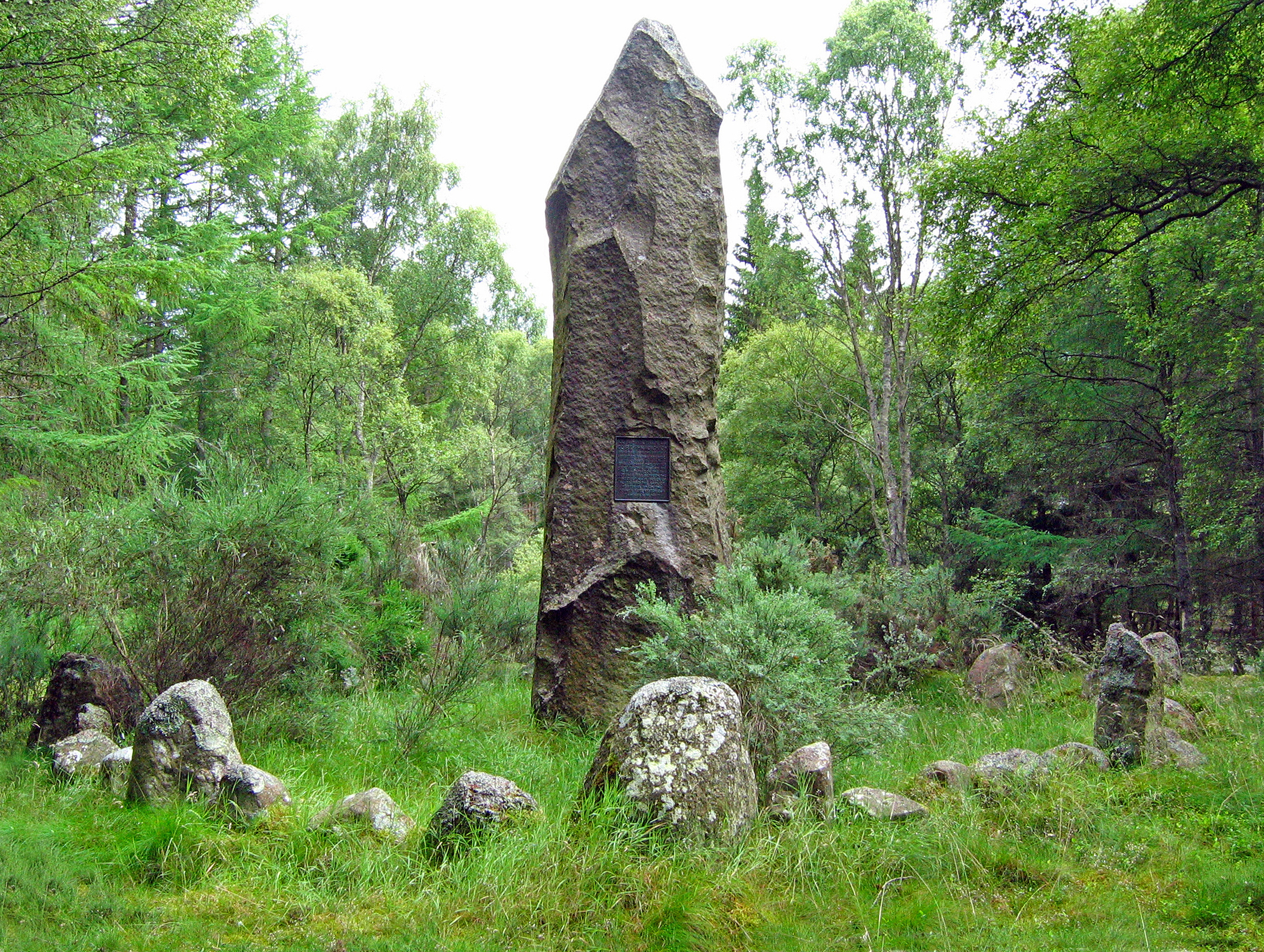
Craigrath Images
Images are sourced within 2km of 57.105699/-2.5174561 or Grid Reference NJ6801. Thanks to Geograph Open Source API. All images are credited.


Craigrath is located at Grid Ref: NJ6801 (Lat: 57.105699, Lng: -2.5174561)
Unitary Authority: Aberdeenshire
Police Authority: North East
What 3 Words
///caressing.sank.issuer. Near Torphins, Aberdeenshire
Nearby Locations
Related Wikis
Battle of Corrichie
The Battle of Corrichie was fought on the slopes of the Hill of Fare in Aberdeenshire, Scotland, on 28 October 1562. It was fought between the forces of...

Hill of Fare
The Hill of Fare is a small hill in Aberdeenshire, Scotland. It is located about 5 km (3 miles) northeast of the village of Torphins. The hill is long...

Cluny Crichton Castle
Cluny Crichton Castle (also known as Clounie Crighton Castle) is a ruined 3-story tower house on the southern slopes of the Hill of Fare in Aberdeenshire...

Raemoir House
Raemoir House is a Category B listed Georgian mansion house located in Banchory, Aberdeenshire, Scotland. Its origins date back to the Ha'Hoose (Hall House...
Nearby Amenities
Located within 500m of 57.105699,-2.5174561Have you been to Craigrath?
Leave your review of Craigrath below (or comments, questions and feedback).