Burney Hill
Hill, Mountain in Westmorland Eden
England
Burney Hill
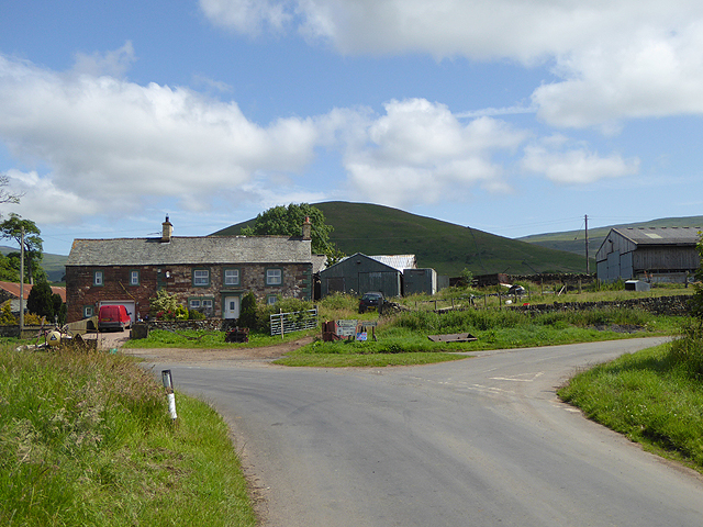
Burney Hill is a prominent hill located in the county of Westmorland, in the northwest region of England. It forms part of the stunning landscape of the Lake District National Park, renowned for its scenic beauty and diverse natural environments.
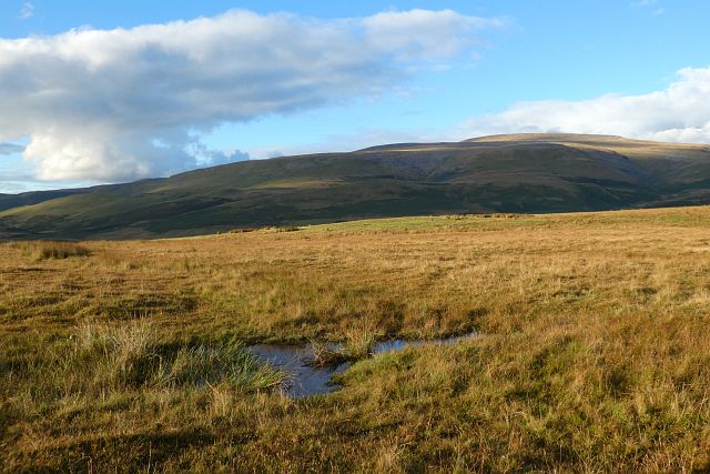
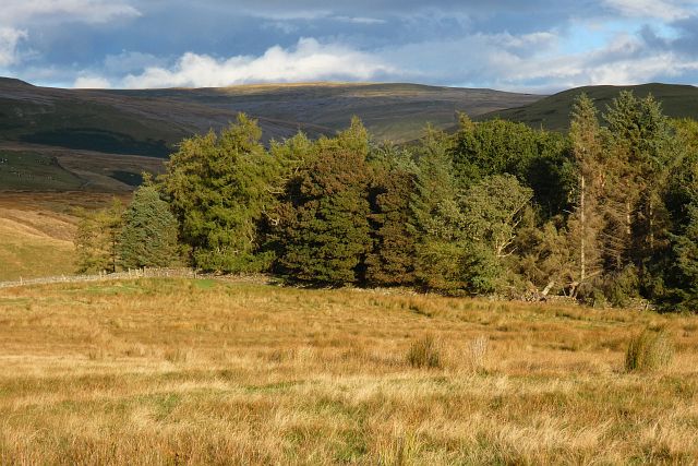
Rising to an elevation of approximately 500 meters (1,600 feet), Burney Hill offers breathtaking panoramic views of the surrounding countryside. The hill is characterized by its gently sloping sides and a distinctive rounded peak, which is often covered in heather and grasses during the summer months.
The summit of Burney Hill provides an excellent vantage point for visitors, offering unobstructed vistas of the nearby fells, valleys, and lakes. On clear days, one can even catch a glimpse of the Irish Sea in the distance. The hill is a popular destination for hikers and nature enthusiasts, who can enjoy a variety of walking trails and paths that traverse its slopes.
The flora and fauna found on Burney Hill are typical of the Lake District region. Lush meadows, dotted with wildflowers, attract a diverse range of bird species, including skylarks and meadow pipits. Additionally, the hill is home to various mammals, such as rabbits, hares, and occasionally elusive red deer.
Due to its location within the Lake District National Park, Burney Hill is protected and managed by the park authorities, ensuring the preservation of its natural beauty and wildlife. The hill provides a tranquil and picturesque setting for visitors to immerse themselves in the stunning countryside of Westmorland.
If you have any feedback on the listing, please let us know in the comments section below.
Burney Hill Images
Images are sourced within 2km of 54.665011/-2.4909291 or Grid Reference NY6830. Thanks to Geograph Open Source API. All images are credited.


Burney Hill is located at Grid Ref: NY6830 (Lat: 54.665011, Lng: -2.4909291)
Administrative County: Cumbria
District: Eden
Police Authority: Cumbria
What 3 Words
///takes.tensions.blotting. Near Appleby-in-Westmorland, Cumbria
Nearby Locations
Related Wikis

Milburn, Cumbria
Milburn is a small village and civil parish in the Eden district of Cumbria, England. It is located on the northern side of the Eden Valley, about 9 miles...
Knock, Cumbria
Knock is a small village in the Eden district of Cumbria, England, and 1.9 km northwest of the larger village of Dufton and 3.1 km south of the village...

Dufton Pike
Dufton Pike is a hill in the northern Pennines, in Cumbria, England. It is classed as a Marilyn (a hill with topographic prominence of at least 150m)....

St Cuthbert's Church, Dufton
St Cuthbert's Church is situated 3⁄4 mile (1.2 km) north of the village of Dufton, Cumbria, England. It should not be confused with the nearby St Cuthbert...

Cross Fell
Cross Fell is the highest mountain in the Pennines of Northern England and the highest point in England outside the Lake District. It is located in the...

Kirkland, Culgaith
Kirkland is a village in the Eden district of the English county of Cumbria. It is in the historic county of Cumberland. There is a fell called Kirkland...

Blencarn
Blencarn is a small village located in the Eden District of Cumbria, England. The village is situated at the foot of the Pennines. In Blencarn there is...

Dufton
Dufton is a village and civil parish in Cumbria, England. Historically part of Westmorland, it lies in the Eden Valley and below Great Dun Fell. It is...
Nearby Amenities
Located within 500m of 54.665011,-2.4909291Have you been to Burney Hill?
Leave your review of Burney Hill below (or comments, questions and feedback).