Dunsop Fell
Hill, Mountain in Yorkshire Ribble Valley
England
Dunsop Fell
Dunsop Fell is a prominent hill located in the Forest of Bowland, within the county of Lancashire, England. Despite the mention of Yorkshire in the prompt, Dunsop Fell is not situated in Yorkshire but is nearby. It is a well-known and frequently visited landmark within this picturesque area of outstanding natural beauty.
Standing at an elevation of approximately 1,876 feet (572 meters) above sea level, Dunsop Fell offers breathtaking panoramic views of the surrounding countryside. It is part of the larger Bowland Fells, which is a range of hills and moorlands in the north of England. The hill is characterized by its gentle slopes and is covered in heather and grasses, providing a habitat for various wildlife species.
Dunsop Fell is particularly famous for being the geographic center of Great Britain. In 2002, the Ordnance Survey officially declared a spot near the hill's summit as the exact center point. This accolade has attracted many visitors who come to take photographs and enjoy the stunning scenery.
The area surrounding Dunsop Fell offers numerous outdoor activities for nature enthusiasts. Hiking and walking trails crisscross the landscape, allowing visitors to explore the hill and its surroundings. The hill is also a popular spot for birdwatching, with species such as curlews, lapwings, and red grouse commonly spotted.
Overall, Dunsop Fell is a significant landmark in the Forest of Bowland, renowned for its natural beauty, panoramic views, and its status as the center of Great Britain.
If you have any feedback on the listing, please let us know in the comments section below.
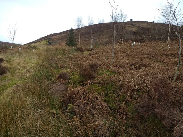
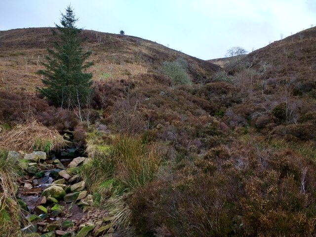
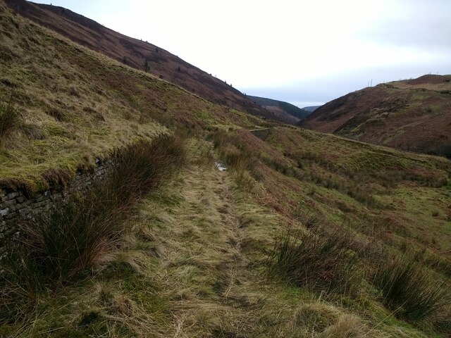
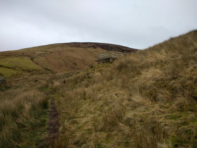
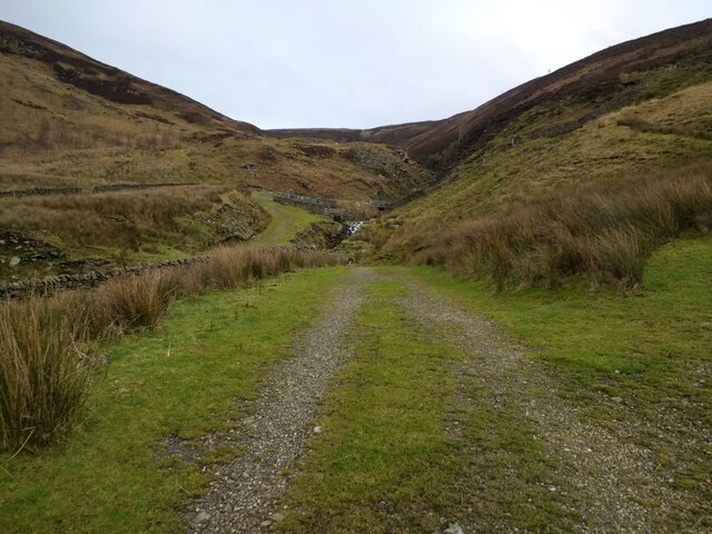
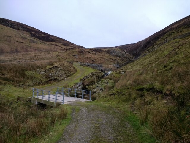
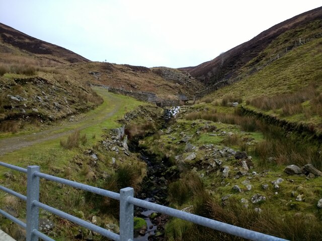
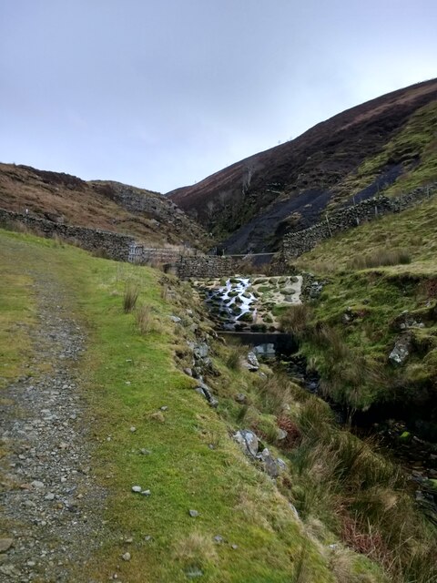
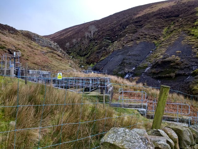
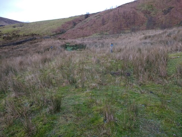
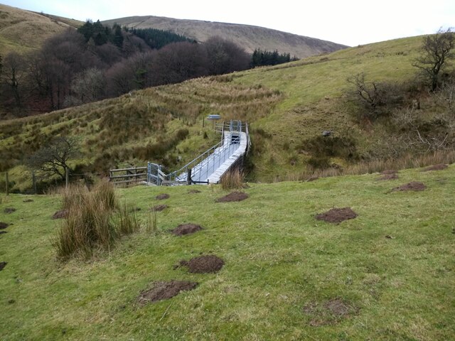
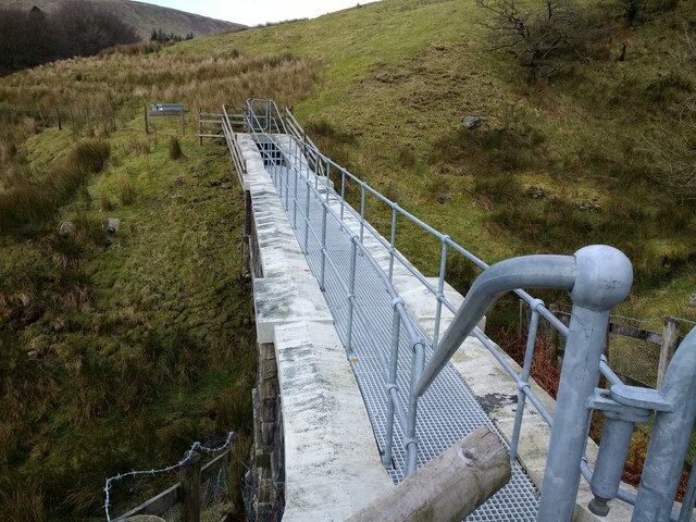
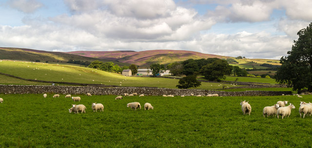
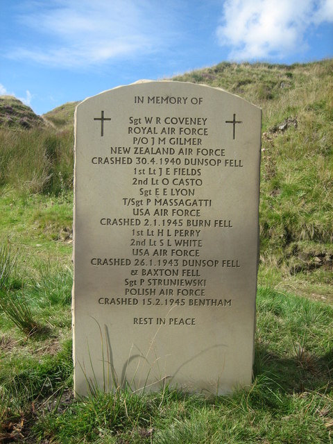
Dunsop Fell Images
Images are sourced within 2km of 53.986344/-2.4914796 or Grid Reference SD6754. Thanks to Geograph Open Source API. All images are credited.


Dunsop Fell is located at Grid Ref: SD6754 (Lat: 53.986344, Lng: -2.4914796)
Division: West Riding
Administrative County: Lancashire
District: Ribble Valley
Police Authority: Lancashire
What 3 Words
///toasters.excuse.terminology. Near Waddington, Lancashire
Nearby Locations
Related Wikis

Geography of the United Kingdom
The United Kingdom is a sovereign state located off the north-western coast of continental Europe. With a total area of approximately 248,532 square kilometres...

King's House, Slaidburn
King's House is a Grade II listed building in Slaidburn, Lancashire, England, now used as a youth hostel. It was originally built in the 18th century,...

St Andrew's Church, Slaidburn
St Andrew's Church is in Church Street, Slaidburn, Lancashire, England. It is an active Anglican parish church in the deanery of Bowland, the archdeaconry...

White Hill (Forest of Bowland)
White Hill is a hill in the Forest of Bowland, north-western England. It lies between Slaidburn and High Bentham. The summit houses a tower and a trig...
Nearby Amenities
Located within 500m of 53.986344,-2.4914796Have you been to Dunsop Fell?
Leave your review of Dunsop Fell below (or comments, questions and feedback).