Chestnuts Hill

Hill, Mountain in Gloucestershire Forest of Dean

England

Chestnuts Hill

St Anthony's Well Image of the historic well in woodland North-west of Flaxley.
St Anthony's Well Credit: Clint Mann

Chestnuts Hill is a picturesque hill located in the county of Gloucestershire, England. Standing at an elevation of approximately 350 meters, it is considered one of the prominent hills in the region. The hill is situated within the expansive Cotswolds Area of Outstanding Natural Beauty, renowned for its stunning landscapes and charming villages.

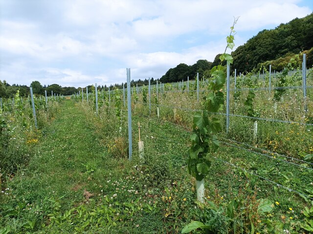
Chestnuts Hill offers panoramic views of the surrounding countryside, making it a popular spot for walkers, hikers, and nature enthusiasts. The hill boasts a diverse range of flora and fauna, including wildflowers, ancient trees, and various bird species. Visitors can enjoy peaceful walks along well-maintained footpaths, taking in the breathtaking vistas and enjoying the tranquility of the area.

The hill itself is covered in lush green grass and is dotted with chestnut trees, which give it its name. These trees add to the natural beauty of the landscape, especially during the autumn months when their leaves turn vibrant shades of red and orange. Chestnuts Hill is also home to a variety of wildlife, including rabbits, deer, and foxes, which can often be spotted by keen observers.

Chestnuts Hill is easily accessible by road, with parking available nearby. It is a great place for outdoor activities such as picnicking, kite flying, or simply relaxing and soaking in the peaceful atmosphere. Whether it's a leisurely stroll or a more adventurous hike, Chestnuts Hill offers visitors a chance to connect with nature and enjoy the natural beauty of Gloucestershire's countryside.

If you have any feedback on the listing, please let us know in the comments section below.

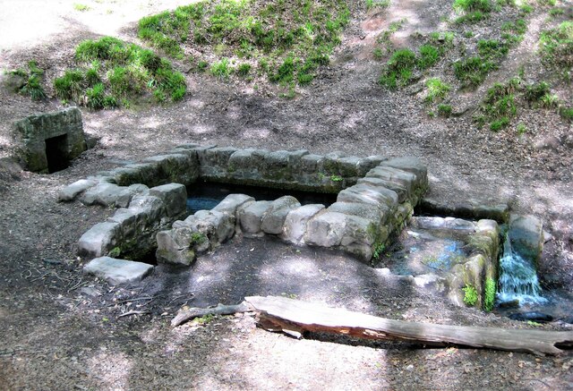
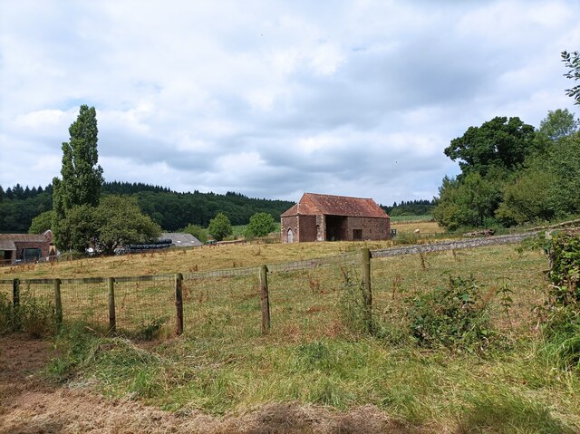
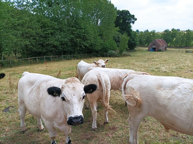
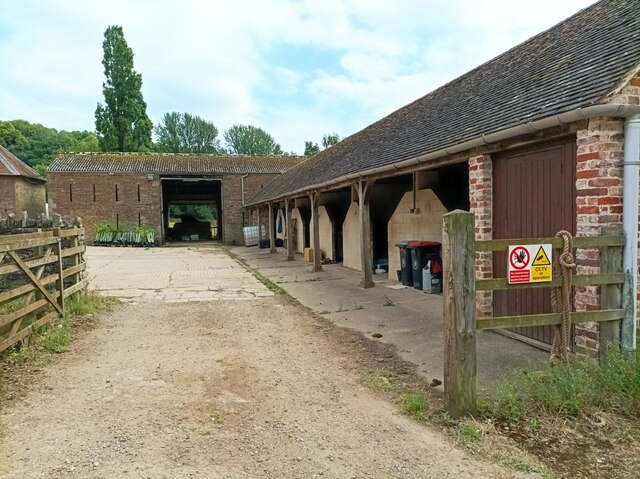
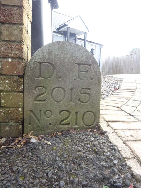
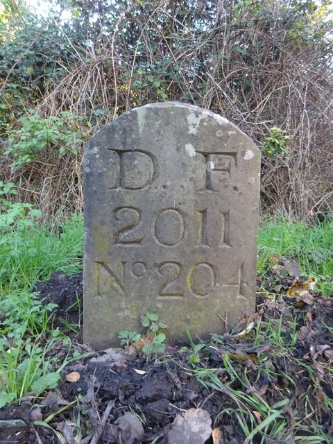
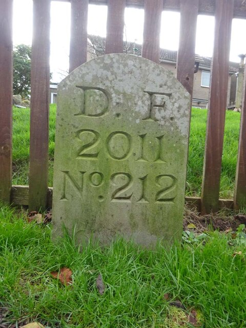
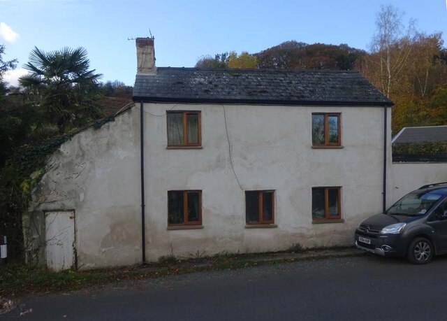
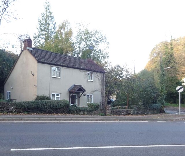
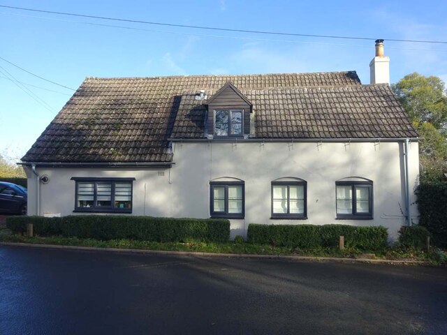
Chestnuts Hill Images

Images are sourced within 2km of 51.828796/-2.4679133 or Grid Reference SO6714. Thanks to Geograph Open Source API. All images are credited.

St Anthony's Well Image of the historic well in woodland North-west of Flaxley.
St Anthony's Well
Image of the historic well in woodland North-west of Flaxley.
Machinery in the woods Various pieces of equipment litter the woodland at the end of Jubilee Lane.
Machinery in the woods
Various pieces of equipment litter the woodland at the end of Jubilee Lane.
Barn in Home Farm, Flaxley This barn, possibly a former tithe barn, is now unused, although the field surrounding it is now used for cattle.
Barn in Home Farm, Flaxley
This barn, possibly a former tithe barn, is now unused, although the field surrounding it is now used for cattle.
White Park cattle The White Park cattle of Home Farm, Flaxley, with a possible former tithe barn in the background.
White Park cattle
The White Park cattle of Home Farm, Flaxley, with a possible former tithe barn in the background.
Yard in Home Farm, Flaxley Yard and barns used for storage.
Yard in Home Farm, Flaxley
Yard and barns used for storage.
Vineyard in Home Farm, Flaxley The most southerly of 3 vineyards owned by Kingsthorne on Home Farm. This vineyard contains Chardonnay only.
Vineyard in Home Farm, Flaxley
The most southerly of 3 vineyards owned by Kingsthorne on Home Farm. This vineyard contains Chardonnay only.
Old Boundary Stone, Littledean "Royal Forest of Dean boundary". In the parish of East Dean, at the slip road leading to Camp Farm, between Littledean and Elton. In a retaining wall. Interestingly, 12.5 metres due South of this stone, in 1877, a hemispherical parcel of land was an exclave of Westbury on Severn, bisecting a farm building.

Inscription: D.F / 1832 / Nᴼ. 202

Milestone Society National ID: GL_DFLITT202em
Old Boundary Stone, Littledean
"Royal Forest of Dean boundary". In the parish of East Dean, at the slip road leading to Camp Farm, between Littledean and Elton. In a retaining wall. Interestingly, 12.5 metres due South of this stone, in 1877, a hemispherical parcel of land was an exclave of Westbury on Severn, bisecting a farm building. Inscription: D.F / 1832 / Nᴼ. 202 Milestone Society National ID: GL_DFLITT202em
Old Boundary Stone, Littledean Hill In the private garden of "Oak Ridge" in the Ruffitt. An original 1832 Forest of Dean boundary marker. 

Inscription: D.F / 1832 / Nᴼ. 209

Milestone Society National ID: GL_DFCINLIT209em
Old Boundary Stone, Littledean Hill
In the private garden of "Oak Ridge" in the Ruffitt. An original 1832 Forest of Dean boundary marker. Inscription: D.F / 1832 / Nᴼ. 209 Milestone Society National ID: GL_DFCINLIT209em
Boundary Stone, Cinderford On the corner of Littledean Hill Road, and the chamfered corner of the former Royal Forrester pub. Technically on private land but effectively just off the road.
The context view of the ex pub is <a href="https://www.geograph.org.uk/photo/4430088">SO6614 : Former Royal Forester, Cinderford</a>

Inscription: D.F / 2008 / Nᴼ. 211

Milestone Society National ID: GL_DFCINLIT211em
Boundary Stone, Cinderford
On the corner of Littledean Hill Road, and the chamfered corner of the former Royal Forrester pub. Technically on private land but effectively just off the road. The context view of the ex pub is SO6614 : Former Royal Forester, Cinderford Inscription: D.F / 2008 / Nᴼ. 211 Milestone Society National ID: GL_DFCINLIT211em
Boundary Stone, Littledean Hill On the Southern side of the road (the Ruffitt) in the driveway of "Stone Cottage".

Inscription: D.F / 2015 / Nᴼ. 210

Milestone Society National ID: GL_DFCINLIT210em
Boundary Stone, Littledean Hill
On the Southern side of the road (the Ruffitt) in the driveway of "Stone Cottage". Inscription: D.F / 2015 / Nᴼ. 210 Milestone Society National ID: GL_DFCINLIT210em
Boundary Stone, Denton's Corner In the junction of the A4151 Elton Road with the Slad and Greenway. In the parish of Littledean near Littledean Jail.

Inscription: D.F / 2011 / Nᴼ. 204

Milestone Society National ID: GL_DFLITT204em
Boundary Stone, Denton's Corner
In the junction of the A4151 Elton Road with the Slad and Greenway. In the parish of Littledean near Littledean Jail. Inscription: D.F / 2011 / Nᴼ. 204 Milestone Society National ID: GL_DFLITT204em
Boundary Stone, Cinderford On the corner of Edge Hills Road and Causeway Road. Just to confuse, the houses above are addressed as being in Wedgewood Crescent. Including 9 and 10, clearly in Edge Hills Road.

Inscription: D.F. / 2011 / Nᴼ. 212

Milestone Society National ID: GL_DFCIND212em
Boundary Stone, Cinderford
On the corner of Edge Hills Road and Causeway Road. Just to confuse, the houses above are addressed as being in Wedgewood Crescent. Including 9 and 10, clearly in Edge Hills Road. Inscription: D.F. / 2011 / Nᴼ. 212 Milestone Society National ID: GL_DFCIND212em
Pike House, George Road, Littledean Former Toll House opposite Greenway. Used by the Forest of Dean Turnpike Trust in the 19th Century. See on the map of GB (UK) Toll houses <span class="nowrap"><a title="http://gbth.mister.red/#13/51.828/-2.47859" rel="nofollow ugc noopener" href="http://gbth.mister.red/#13/51.828/-2.47859">Link</a><img style="margin-left:2px;" alt="External link" title="External link - shift click to open in new window" src="https://s1.geograph.org.uk/img/external.png" width="10" height="10"/></span>

Milestone Society National ID: GL.LIT01
Pike House, George Road, Littledean
Former Toll House opposite Greenway. Used by the Forest of Dean Turnpike Trust in the 19th Century. See on the map of GB (UK) Toll houses LinkExternal link Milestone Society National ID: GL.LIT01
Denton's Corner, Littledean A4151 Former Toll House at Denton's Corner where Greenway and the Slad meet the A4151 Gloucester Road. This building served the Elton Turnpike Trust in the 19ᵗʰ Century.

Milestone Society National ID: GL.LIT03
Denton's Corner, Littledean A4151
Former Toll House at Denton's Corner where Greenway and the Slad meet the A4151 Gloucester Road. This building served the Elton Turnpike Trust in the 19ᵗʰ Century. Milestone Society National ID: GL.LIT03
Old Pike Cottage, Pleasant Stile On the road between Littldean and Newnham on Severn pleasantly known as Pleasant Stile becoming Dean Road to the SE and starting as Silver Street to the NW. Erected by the Forest of Dean Turnpike Trust.

Milestone Society National ID: GL.LIT02
Old Pike Cottage, Pleasant Stile
On the road between Littldean and Newnham on Severn pleasantly known as Pleasant Stile becoming Dean Road to the SE and starting as Silver Street to the NW. Erected by the Forest of Dean Turnpike Trust. Milestone Society National ID: GL.LIT02
Old Milestone opposite Cherry Tree Farm, Carved stone post by the A4151, in parish of WESTBURY ON SEVERN (FOREST OF DEAN District),
behind railings, on the North side of road. The carved Benchmark  represents 47.3 m ASL.
EC stone, erected by the Forest of Dean turnpike trust in the 19ᵗʰ century.
An earlier image is <a href="https://www.geograph.org.uk/photo/6049831">SO6814 : Old Milestone by the A4151, Cherry Tree Farm, Westbury on Severn parish</a>.

Inscription reads: COLEFORD / 8 / GLOSTER / 11 / LONDON / (??)

Milestone Society National ID: GL_ELCO02
Old Milestone opposite Cherry Tree Farm,
Carved stone post by the A4151, in parish of WESTBURY ON SEVERN (FOREST OF DEAN District), behind railings, on the North side of road. The carved Benchmark represents 47.3 m ASL. EC stone, erected by the Forest of Dean turnpike trust in the 19ᵗʰ century. An earlier image is SO6814 : Old Milestone by the A4151, Cherry Tree Farm, Westbury on Severn parish. Inscription reads: COLEFORD / 8 / GLOSTER / 11 / LONDON / (??) Milestone Society National ID: GL_ELCO02
Old Boundary Stone, Flaxley In a field South of Hangman's Hill and SE of Flaxley church. It marks the boundary of the "Forest of Dean".

Inscription: D. F / 1832 / Nᴼ. 195

Milestone Society National ID: GL_DFLIBL195em
Old Boundary Stone, Flaxley
In a field South of Hangman's Hill and SE of Flaxley church. It marks the boundary of the "Forest of Dean". Inscription: D. F / 1832 / Nᴼ. 195 Milestone Society National ID: GL_DFLIBL195em
Old Boundary Stone, In a field North of the A4151, just beyond the dead end of a Public Right of Way.
It marks the boundary of the "Forest of Dean", and is on the boundary of East Dean and Littledean (1950 parishes).

Inscription: D. F / 1832 / Nᴼ. 203

Milestone Society National ID: GL_DFLITT203em
Old Boundary Stone,
In a field North of the A4151, just beyond the dead end of a Public Right of Way. It marks the boundary of the "Forest of Dean", and is on the boundary of East Dean and Littledean (1950 parishes). Inscription: D. F / 1832 / Nᴼ. 203 Milestone Society National ID: GL_DFLITT203em
Show me another place!

Chestnuts Hill is located at Grid Ref: SO6714 (Lat: 51.828796, Lng: -2.4679133)

Administrative County: Gloucestershire

District: Forest of Dean

Police Authority: Gloucestershire

What 3 Words

///disbelief.coconut.newer. Near Cinderford, Gloucestershire

Related Wikis

Pope's Hill

Pope's Hill is a hill and a small village situated in the east of the Forest of Dean, Gloucestershire within the parish of Littledean. The hill is 12 miles...

Welshbury Hill

Welshbury Hill is an Iron Age hill fort near Mitcheldean in Gloucestershire, England. It is thought to have been built by Celts and dates back to 1600...

Littledean Camp

Littledean Camp is in fact a castle overlooking the village of Littledean in Gloucestershire, England, notable for its unique early Norman design. Originally...

Flaxley Abbey

Flaxley Abbey is a former Cistercian monastery in England, now a Grade I listed manor and private residence, near the village of Flaxley in the Forest...

Flaxley

Flaxley is a small settlement and former civil parish, now in the parish of Blaisdon, in the Forest of Dean, Gloucestershire, England. It is located in...

Gun's Mills, Flaxley

Gun's Mills, at Flaxley, in the Forest of Dean, Gloucestershire, England, was a major industrial site from the 17th century. Originally built as an armaments...

Littledean Hall

Littledean Hall (grid reference SO672130) is a country house in the village of Littledean, Gloucestershire, England. It has been described as one of the...

Littledean

Littledean is a village in the Forest of Dean, west Gloucestershire, England. The village has a long history and formerly had the status of a town. Littledean...

Nearby Amenities

Located within 500m of 51.828796,-2.4679133
Chestnuts Hill
Created By: Potlatch 0.10f
Natural: peak
Source: NPE
Lat/Long: 51.8282901/-2.468896
Bus Stop
Severn View
Naptan AtcoCode: 1600GL3855
Naptan Bearing: W
Naptan CommonName: Severn View
Naptan Indicator: Opp
Naptan NaptanCode: gloamagp
Naptan Street: The Slad
Naptan Verified: no
Source: naptan_import
Lat/Long: 51.8290777/-2.4608367
Bus Stop
Severn View
Naptan AtcoCode: 1600GL3856
Naptan Bearing: E
Naptan CommonName: Severn View
Naptan NaptanCode: gloamagw
Naptan Street: The Slad
Naptan Verified: no
Source: naptan_import
Lat/Long: 51.8291319/-2.4607938
Fork
Ele: 178.930
Lat/Long: 51.8298607/-2.4662434
Man Made: survey_point
Lat/Long: 51.8289811/-2.467903
The data included in this document is from www.openstreetmap.org. The data is made available under ODbL.

Have you been to Chestnuts Hill?

Leave your review of Chestnuts Hill below (or comments, questions and feedback).