Castrigg Hill

Hill, Mountain in Westmorland Eden

England

Castrigg Hill

A66 Appleby Bypass Viewed from a passing train.
A66 Appleby Bypass Credit: Stephen Craven

Castrigg Hill is a prominent hill located in the county of Westmorland, in the northwestern region of England. Rising to an elevation of approximately 353 meters (1,158 feet), it is considered a notable feature of the local landscape. The hill is situated near the village of Orton, about 12 kilometers (7.5 miles) southeast of the town of Penrith.

Castrigg Hill is characterized by its distinctive conical shape, which is typical of many hills in the region. It is primarily composed of limestone, which gives it a pale appearance, especially during the summer months when the vegetation is less dense. The hill offers stunning panoramic views of the surrounding countryside, including the nearby Howgill Fells and the Lake District National Park.

The area around Castrigg Hill is known for its rich archaeological heritage. On the western slope, there are the remains of an ancient hillfort, believed to have been built during the Iron Age. The hillfort measures approximately 250 meters (820 feet) in diameter and is enclosed by a series of earthworks and ramparts. This historical site provides valuable insights into the region's ancient past and attracts archaeology enthusiasts and researchers.

Castrigg Hill is also popular among hikers and nature lovers, who enjoy exploring its picturesque trails. The hill boasts a diverse range of flora and fauna, including heather, bilberry, and various species of birds and butterflies. Its accessible location and relatively easy ascent make it an ideal destination for those seeking outdoor activities and breathtaking views of the Westmorland countryside.

If you have any feedback on the listing, please let us know in the comments section below.

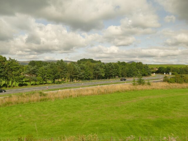
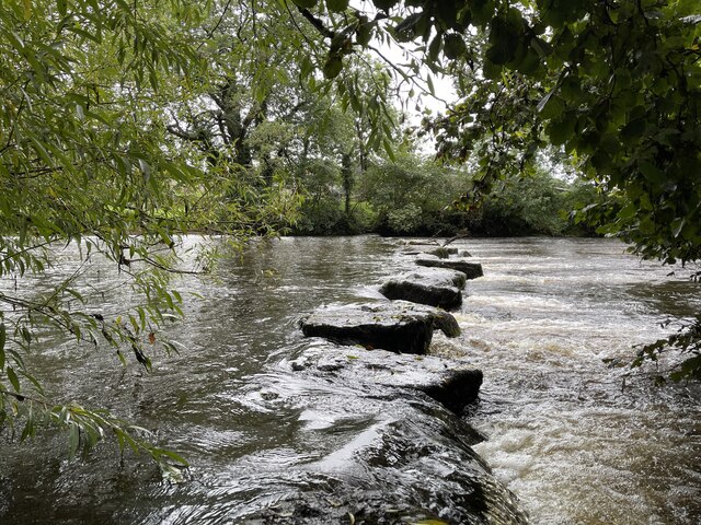
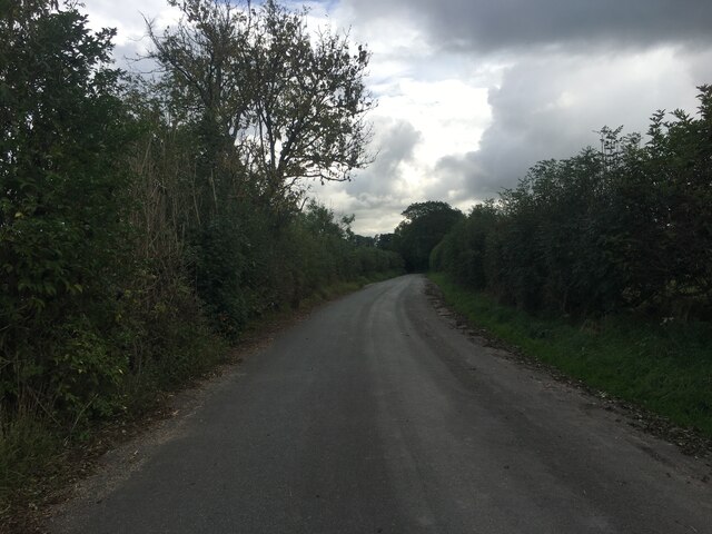
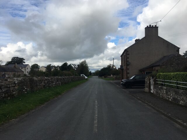
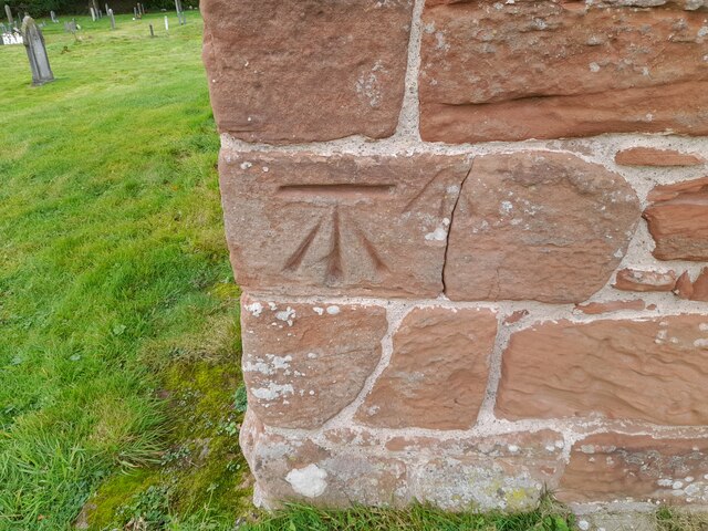
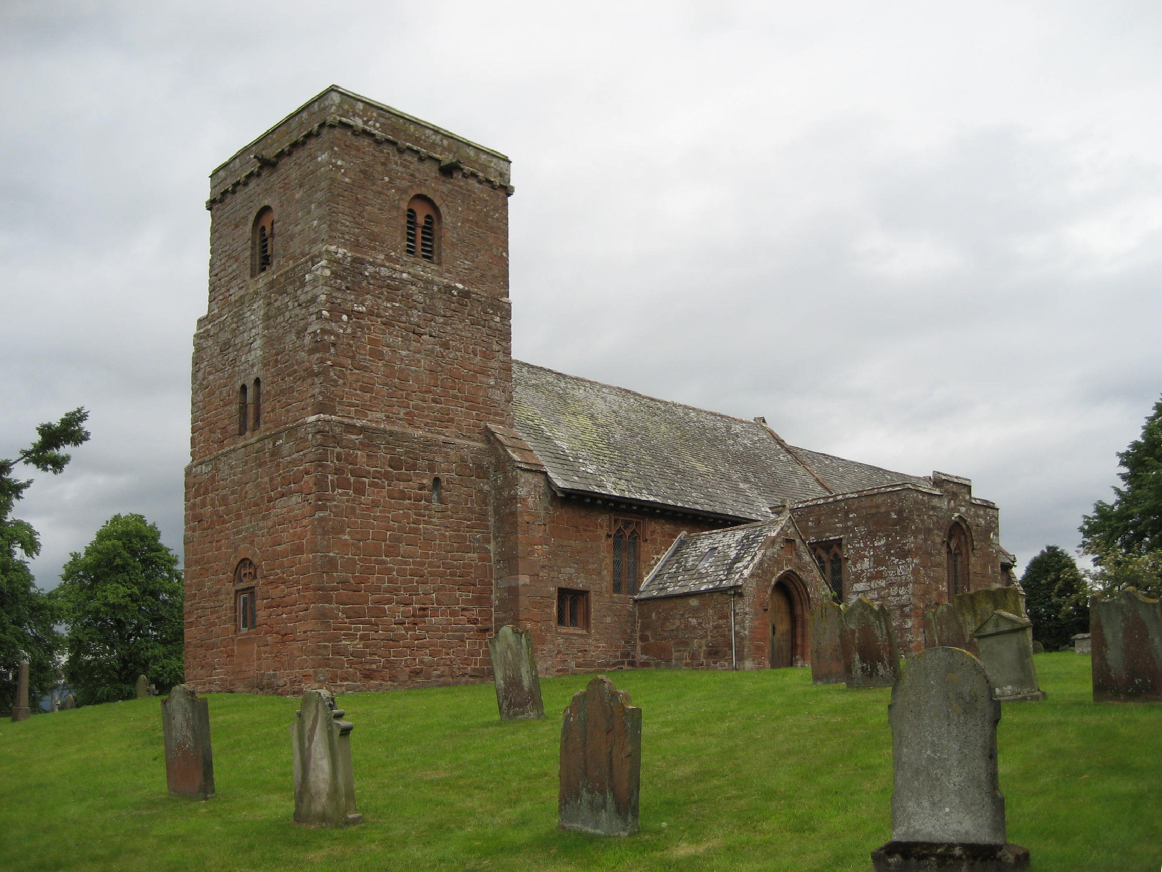
Castrigg Hill Images

Images are sourced within 2km of 54.597413/-2.5080695 or Grid Reference NY6722. Thanks to Geograph Open Source API. All images are credited.

A66 Appleby Bypass Viewed from a passing train.
A66 Appleby Bypass
Viewed from a passing train.
Crossroads Crossroads on the Dufton to Appleby-in-Westmorland road.
Crossroads
Crossroads on the Dufton to Appleby-in-Westmorland road.
Brampton by Appleby The smaller of the two places with this name in Cumbria.
Brampton by Appleby
The smaller of the two places with this name in Cumbria.
Benchmark, Brampton, Clickham Farm Detail of an Ordnance Survey benchmark on the corner of the farmhouse at Clickham Farm.  The benchmark marks a height of 166.1983m above mean sea level (Ordnance Datum Newlyn) last verified in 1955.
Benchmark, Brampton, Clickham Farm
Detail of an Ordnance Survey benchmark on the corner of the farmhouse at Clickham Farm. The benchmark marks a height of 166.1983m above mean sea level (Ordnance Datum Newlyn) last verified in 1955.
Road junction near Brampton
Benchmark, Long Marton, Bridge 253 Detail of an Ordnance Survey cut benchmark on the end pier of the south east abutment of Park Lane Bridge on the Settle to Carlisle railway, railway engineers’ bridge reference number SAC/253.  The benchmark marks a height of 132.4021m above mean sea level (Ordnance Datum Newlyn) last verified in 1955.
Benchmark, Long Marton, Bridge 253
Detail of an Ordnance Survey cut benchmark on the end pier of the south east abutment of Park Lane Bridge on the Settle to Carlisle railway, railway engineers’ bridge reference number SAC/253. The benchmark marks a height of 132.4021m above mean sea level (Ordnance Datum Newlyn) last verified in 1955.
Stepping Stones at Colby Laithes Far too slippery to attempt a crossing today. These stepping stones are found on the River Eden just outside Appleby-in-Westmorland.
Stepping Stones at Colby Laithes
Far too slippery to attempt a crossing today. These stepping stones are found on the River Eden just outside Appleby-in-Westmorland.
Minor road to Crackenthorpe
Road through Crackenthorpe
Ordnance Survey Cut Mark This OS cut mark can be found on the SE abutment of the railway bridge. It marks a point 132.402m above mean sea level.
Ordnance Survey Cut Mark
This OS cut mark can be found on the SE abutment of the railway bridge. It marks a point 132.402m above mean sea level.
Ordnance Survey Cut Mark This OS cut mark can be found on the SW angle of the Church of St Margaret & St James. It marks a point 128.446m above mean sea level.
Ordnance Survey Cut Mark
This OS cut mark can be found on the SW angle of the Church of St Margaret & St James. It marks a point 128.446m above mean sea level.
Ordnance Survey Cut Mark This OS cut mark can be found on the NW side of the railway bridge. It marks a point 138.647m above mean sea level.
Ordnance Survey Cut Mark
This OS cut mark can be found on the NW side of the railway bridge. It marks a point 138.647m above mean sea level.
Ordnance Survey Cut Mark This OS cut mark can be found on the gatepost south side of the road. It marks a point 141.753m above mean sea level.
Ordnance Survey Cut Mark
This OS cut mark can be found on the gatepost south side of the road. It marks a point 141.753m above mean sea level.
Ordnance Survey Cut Mark This OS cut mark can be found on Glen Bank. It marks a point 143.725m above mean sea level.
Ordnance Survey Cut Mark
This OS cut mark can be found on Glen Bank. It marks a point 143.725m above mean sea level.
Ordnance Survey Cut Mark This OS cut mark can be found on the NW parapet of Stock Bridge. It marks a point 133.024m above mean sea level.
Ordnance Survey Cut Mark
This OS cut mark can be found on the NW parapet of Stock Bridge. It marks a point 133.024m above mean sea level.
Ordnance Survey Pivot This OS pivot can be found on the north face of the railway bridge.
Ordnance Survey Pivot
This OS pivot can be found on the north face of the railway bridge.
Ordnance Survey Pivot This OS pivot can be found on the SE side of the railway bridge.
Ordnance Survey Pivot
This OS pivot can be found on the SE side of the railway bridge.
Ordnance Survey Cut Mark This OS cut mark can be found on Clickham Farm. It marks a point 166.198m above mean sea level.
Ordnance Survey Cut Mark
This OS cut mark can be found on Clickham Farm. It marks a point 166.198m above mean sea level.
Show me another place!

Castrigg Hill is located at Grid Ref: NY6722 (Lat: 54.597413, Lng: -2.5080695)

Administrative County: Cumbria

District: Eden

Police Authority: Cumbria

What 3 Words

///stylists.first.sleepy. Near Appleby-in-Westmorland, Cumbria

Nearby Locations

Castrigg Hill

Related Wikis

Nearby Amenities

Located within 500m of 54.597413,-2.5080695
Railway: crossing
Lat/Long: 54.5957633/-2.5037534
Railway: crossing
Lat/Long: 54.5957614/-2.5036894
Power: pole
Lat/Long: 54.5969936/-2.5007696
Power: pole
Lat/Long: 54.5978721/-2.5007805
Power: pole
Lat/Long: 54.5986724/-2.5007652
Power: pole
Lat/Long: 54.5966932/-2.5021684
Power: pole
Lat/Long: 54.5962337/-2.5041164
The data included in this document is from www.openstreetmap.org. The data is made available under ODbL.

Have you been to Castrigg Hill?

Leave your review of Castrigg Hill below (or comments, questions and feedback).