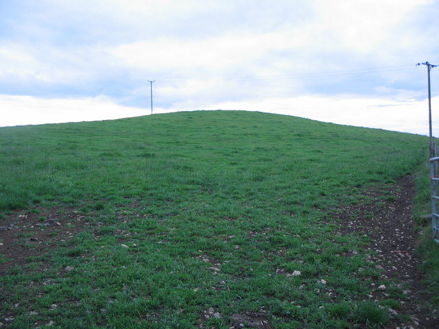
Small Down Knoll
Hill, Mountain in Somerset Mendip
England
Small Down Knoll
Small Down Knoll is a prominent hill located in Somerset, England. Standing at an elevation of 220 meters (720 feet), it is considered to be one of the highest points in the region. Small Down Knoll is situated near the village of Cannington, approximately 7 kilometers (4 miles) southwest of Bridgwater.
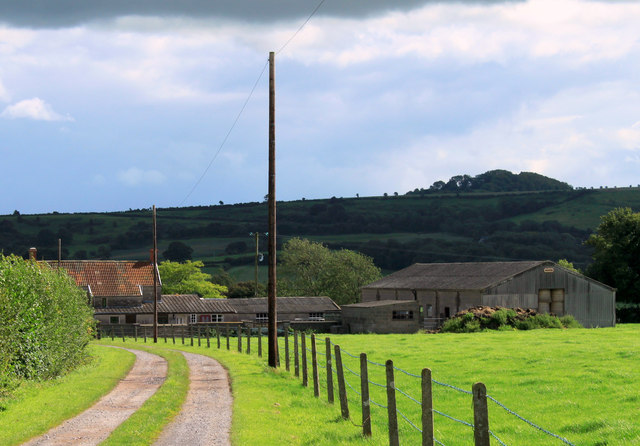
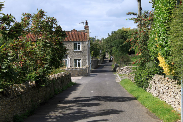
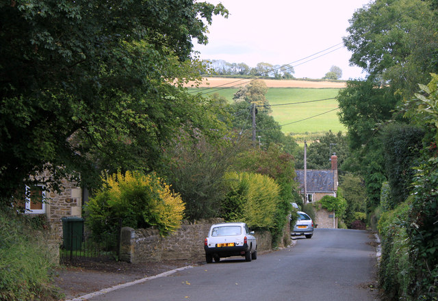
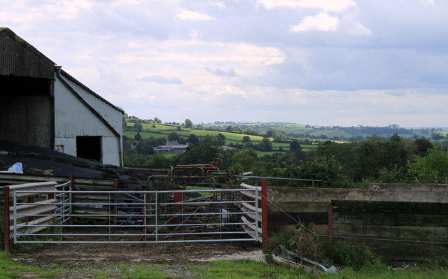
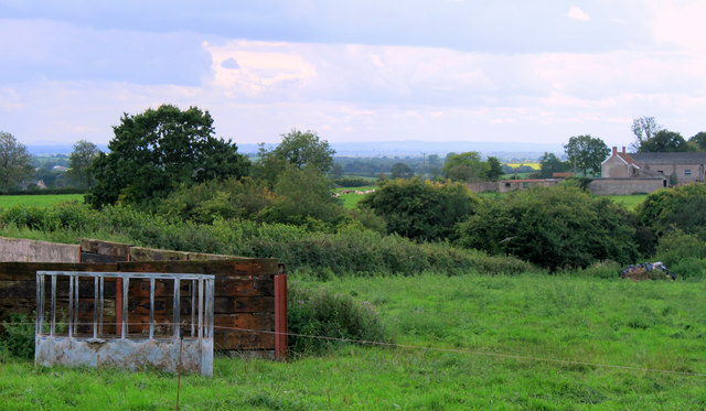
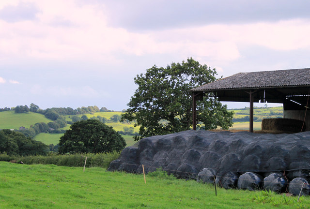
The hill offers stunning panoramic views of the surrounding countryside, making it a popular destination for nature enthusiasts and hikers. The gentle slopes of Small Down Knoll are covered in lush green grass, dotted with wildflowers during the warmer months. Its well-maintained footpaths and trails provide easy access to the summit, allowing visitors to enjoy the picturesque landscapes and soak in the tranquility of the area.
The hill is home to a diverse array of flora and fauna, with several species of birds, butterflies, and small mammals inhabiting the area. Due to its elevated position, Small Down Knoll also experiences a distinctive microclimate, with cooler temperatures and higher winds compared to the surrounding lowlands.
Small Down Knoll boasts a rich history, with evidence of human activity dating back to the Neolithic period. Archaeological discoveries, such as ancient burial mounds and remnants of Iron Age settlements, highlight the hill's significance as a historical site. Visitors can explore these remnants and gain insight into the lives of the people who once inhabited the area.
Overall, Small Down Knoll is a captivating hill in Somerset, offering breathtaking views, diverse wildlife, and a glimpse into the region's ancient past.
If you have any feedback on the listing, please let us know in the comments section below.
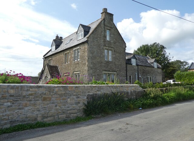
Small Down Knoll Images
Images are sourced within 2km of 51.163741/-2.480227 or Grid Reference ST6640. Thanks to Geograph Open Source API. All images are credited.


Small Down Knoll is located at Grid Ref: ST6640 (Lat: 51.163741, Lng: -2.480227)
Administrative County: Somerset
District: Mendip
Police Authority: Avon and Somerset
What 3 Words
///outwit.snares.juggles. Near Evercreech, Somerset
Nearby Locations
Related Wikis

Small Down Knoll
Small Down Knoll, or Small Down Camp, is a Bronze Age hill fort near Evercreech in Somerset, England. The hill is on the southern edge of the Mendip Hills...
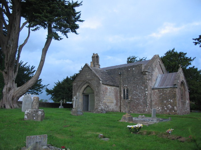
Church of St Mary, Chesterblade
The Anglican Church of St Mary in Chesterblade, Somerset, England was built in the 12th century. It is a Grade II* listed building. It is located 3 miles...
Maes Down
Maes Down (grid reference ST647406) is a 0.2 hectare geological Site of Special Scientific Interest between Shepton Mallet and Stoney Stratton in Somerset...
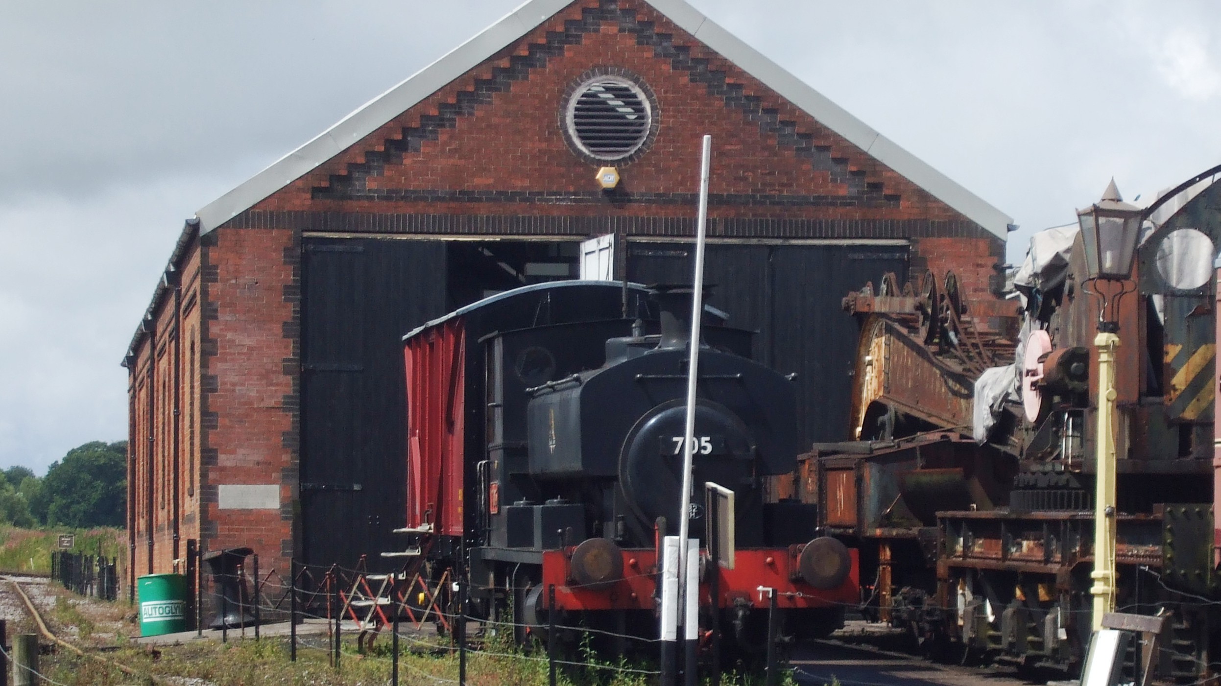
Cranmore West railway station
Cranmore West is a disused railway station on the East Somerset Railway. == Services == Services ceased calling at the beginning of the 2022 season, pending...

Merryfield Lane railway station
Merryfield Lane Halt is a railway station at the summit of the East Somerset Railway. It was built in 1981 and originally served as the terminus of the...
Cranmore railway station
Cranmore is the main railway station (and also the headquarters) of the preserved East Somerset Railway, in Somerset, England. == Services == Various services...

Doulting Railway Cutting
Doulting Railway Cutting (grid reference ST648424) is a 2.8 hectare geological Site of Special Scientific Interest in Somerset, notified in 1971. The cutting...

Evercreech New railway station
Evercreech New, originally called "Evercreech Village", was a railway station at Evercreech on the Somerset and Dorset Joint Railway. The station opened...
Nearby Amenities
Located within 500m of 51.163741,-2.480227Have you been to Small Down Knoll?
Leave your review of Small Down Knoll below (or comments, questions and feedback).