Bradley Hill
Hill, Mountain in Gloucestershire Forest of Dean
England
Bradley Hill
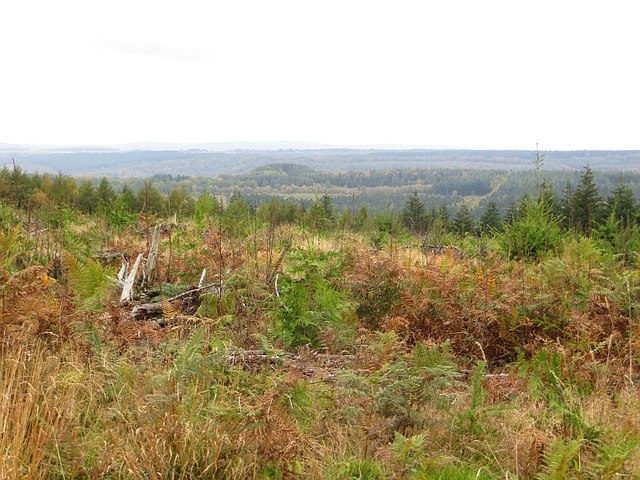
Bradley Hill is a prominent hill located in the county of Gloucestershire, England. Situated in the Cotswolds, it is a popular destination for outdoor enthusiasts and nature lovers alike. With an elevation of approximately 198 meters (650 feet), it offers stunning panoramic views of the surrounding countryside.
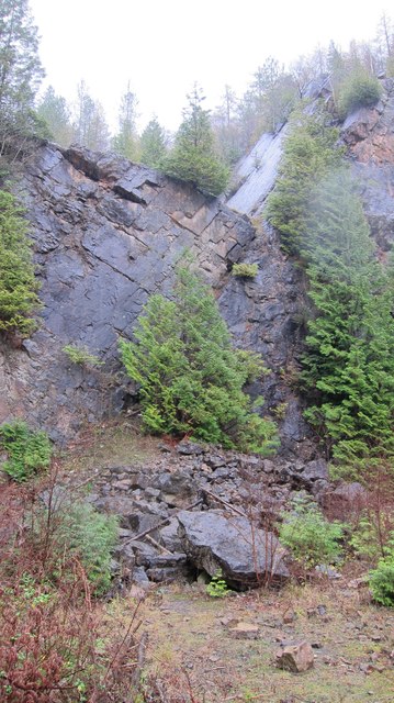
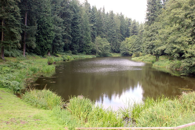
Covered in lush greenery, Bradley Hill is home to a diverse range of flora and fauna, making it an ideal spot for wildlife observation and photography. The hill is primarily composed of limestone, giving it a unique geological makeup that is of interest to geologists and nature enthusiasts.
Numerous footpaths and trails crisscross the hill, providing ample opportunities for hiking and walking. The most common route to the summit starts from the nearby village of Painswick, known for its picturesque charm. As visitors ascend the hill, they are greeted by breathtaking vistas of rolling hills, quaint villages, and fertile farmlands.
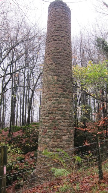
Bradley Hill also boasts historical significance, with remnants of ancient settlements and earthworks scattered across its slopes. Archaeological excavations have revealed evidence of human habitation dating back to the Iron Age, adding another layer of intrigue to this already captivating location.
Due to its accessibility and natural beauty, Bradley Hill attracts a steady stream of visitors throughout the year. Whether one seeks a leisurely stroll amidst nature or a challenging hike to the summit, this Gloucestershire hill offers a memorable experience for all who venture there.
If you have any feedback on the listing, please let us know in the comments section below.
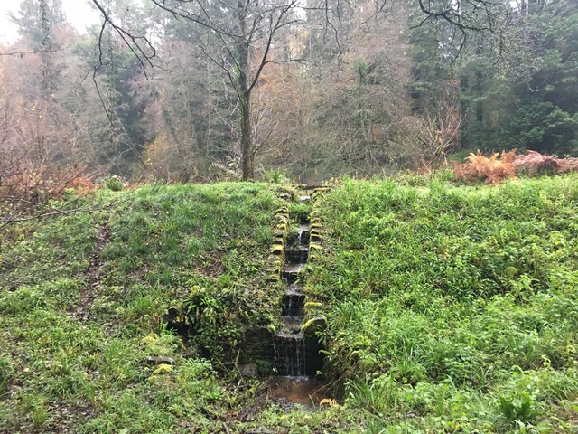
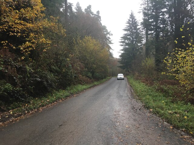
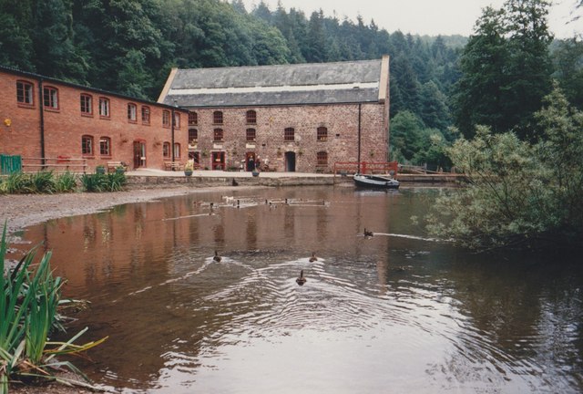
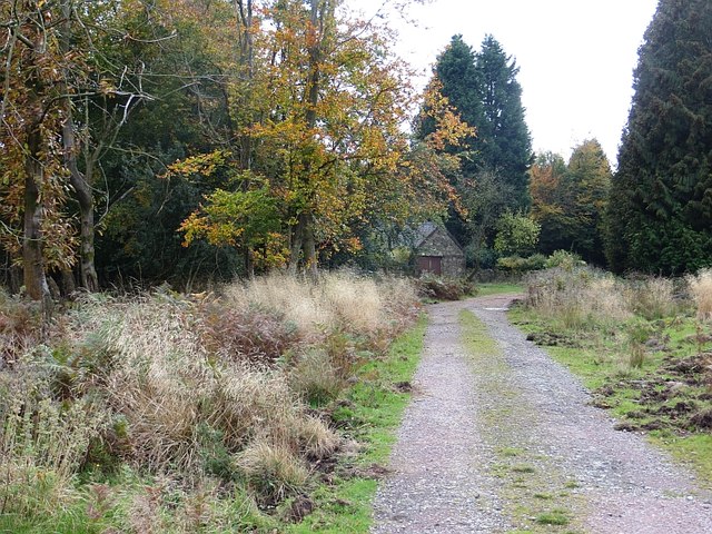
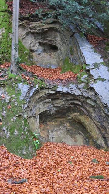
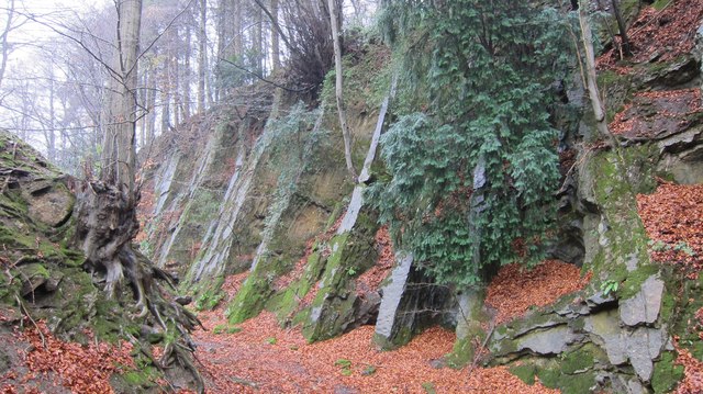
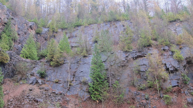
Bradley Hill Images
Images are sourced within 2km of 51.785316/-2.4917745 or Grid Reference SO6609. Thanks to Geograph Open Source API. All images are credited.

Bradley Hill is located at Grid Ref: SO6609 (Lat: 51.785316, Lng: -2.4917745)
Administrative County: Gloucestershire
District: Forest of Dean
Police Authority: Gloucestershire
What 3 Words
///staining.timeless.bitters. Near Cinderford, Gloucestershire
Nearby Locations
Related Wikis

Upper Soudley Halt railway station
Upper Soudley Halt railway station is a disused railway station that was opened by the Great Western Railway (GWR) on the former Bullo Pill Railway, later...

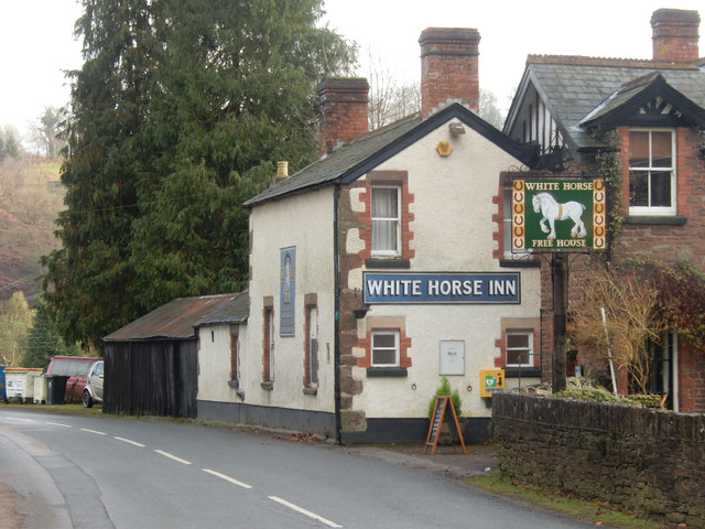
Soudley
Soudley, including Upper Soudley, is a village to the west of Cinderford, in the civil parish of Ruspidge and Soudley, in the Forest of Dean district,...

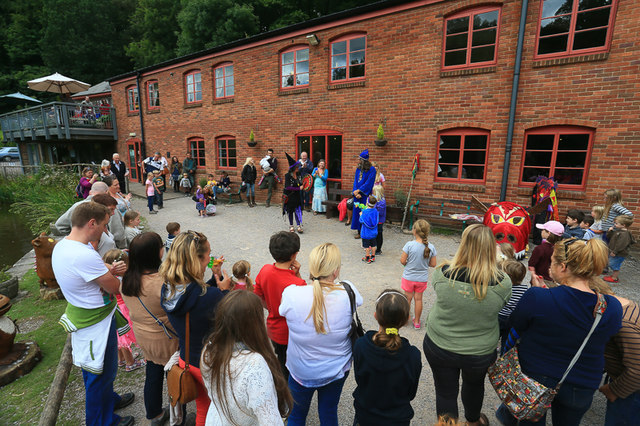
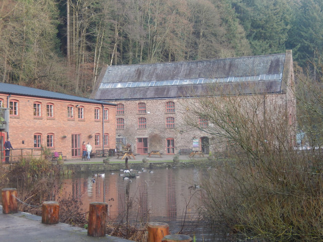
Dean Heritage Centre
The Dean Heritage Centre is located in the valley of Soudley, Gloucestershire, England in the Forest of Dean and exists to record and preserve the social...

Soudley Ponds
Lying close to the village of Soudley in the Forest of Dean, west Gloucestershire, Soudley Ponds (grid reference SO662112), also known as Sutton Ponds...
Nearby Amenities
Located within 500m of 51.785316,-2.4917745Have you been to Bradley Hill?
Leave your review of Bradley Hill below (or comments, questions and feedback).