Garlot Hill

Hill, Mountain in Kincardineshire

Scotland

Garlot Hill

Down to the Spital Moorland leading down to and drained by the Spital Burn.
Down to the Spital Credit: Andrew Wood

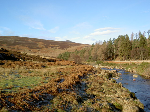
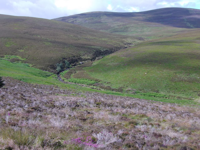
Garlot Hill is a prominent geographical feature located in the region of Kincardineshire, Scotland. It is classified as a hill and is situated near the village of Garlogie. With an elevation of approximately 414 meters (1,358 feet), it offers splendid panoramic views of the surrounding landscape.

The hill is characterized by its gently sloping sides and a distinct peak that provides an excellent vantage point for visitors. It is primarily composed of sedimentary rocks, including sandstone and shale, which have been shaped by millions of years of erosion. The vegetation on Garlot Hill is diverse, encompassing a mix of grasses, heathers, and scattered trees, creating a picturesque landscape.

Garlot Hill is a popular destination for outdoor enthusiasts and nature lovers, attracting hikers, walkers, and photographers throughout the year. Several well-marked trails lead to the summit, offering different levels of difficulty to accommodate various skill levels. During the ascent, visitors may encounter local wildlife, including birds, rabbits, and occasionally deer.

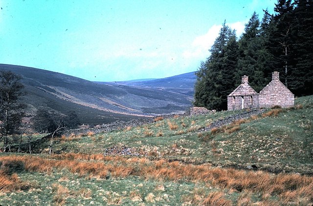
The hill's location in Kincardineshire, a region renowned for its natural beauty, adds to its allure. It is within close proximity to other notable landmarks, such as Drum Castle and Crathes Castle, making it an ideal starting point for exploring the surrounding area.

Garlot Hill's accessibility, combined with its stunning views and diverse ecosystems, make it a must-visit destination for those seeking a peaceful and immersive experience in the Scottish countryside.

If you have any feedback on the listing, please let us know in the comments section below.
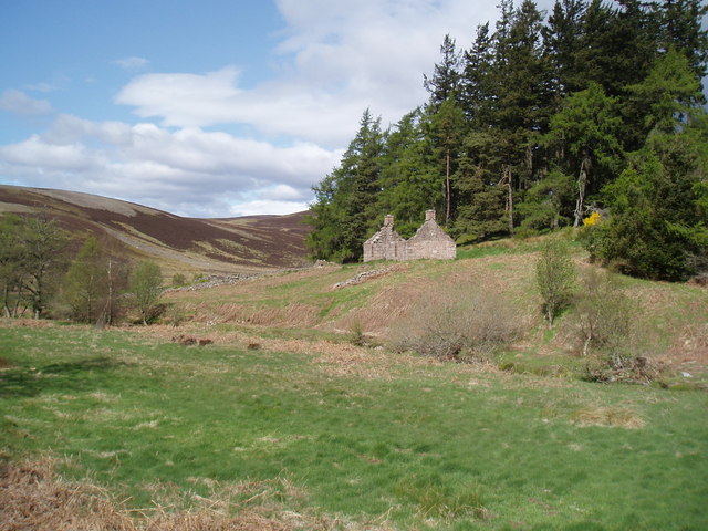
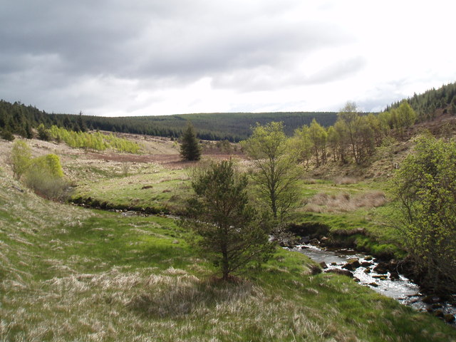
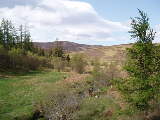
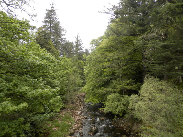
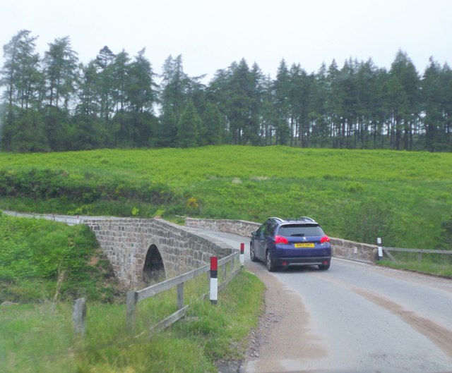
Garlot Hill Images

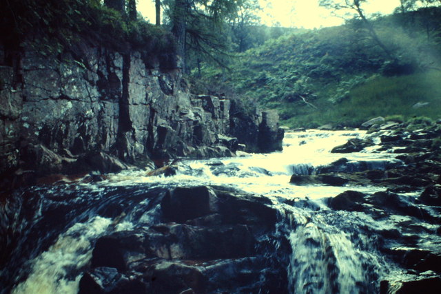
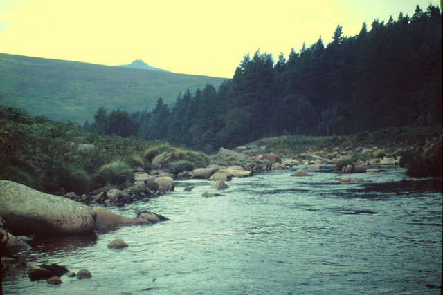
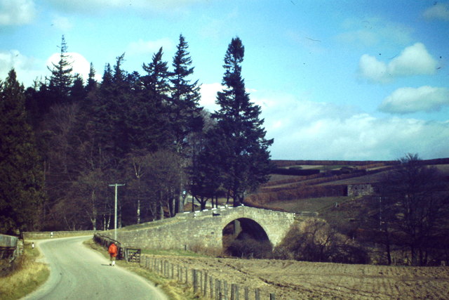
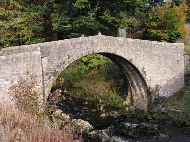
Images are sourced within 2km of 56.952895/-2.5586076 or Grid Reference NO6684. Thanks to Geograph Open Source API. All images are credited.

Down to the Spital Moorland leading down to and drained by the Spital Burn.
Down to the Spital
Moorland leading down to and drained by the Spital Burn.
River Dye by Spital Rocky reach of the river below the Bridge of Dye.
River Dye by Spital
Rocky reach of the river below the Bridge of Dye.
Glen Dye The Dye flowing down to the Dee. Clochnaben is on the skyline.
Glen Dye
The Dye flowing down to the Dee. Clochnaben is on the skyline.
Bridge of Dye Old road bridge spanning the Water of Dye. It is now superseded by a new bridge to the east.
Bridge of Dye
Old road bridge spanning the Water of Dye. It is now superseded by a new bridge to the east.
Forest clearing A clearing in forestry plantations to the south-west of Tire Beggar Hill
Forest clearing
A clearing in forestry plantations to the south-west of Tire Beggar Hill
View from the Hill of Gothie The summit area of the Hill of Gothie, with Fetteresso Forest, farmland south of Stonehaven and the North Sea visible in the distance.
View from the Hill of Gothie
The summit area of the Hill of Gothie, with Fetteresso Forest, farmland south of Stonehaven and the North Sea visible in the distance.
Conifers on the Hill of Gothie A small conifer plantation on the summit of the Hill of Gothie. The trees are curiously stunted, with few exceeding three metres in height.
Conifers on the Hill of Gothie
A small conifer plantation on the summit of the Hill of Gothie. The trees are curiously stunted, with few exceeding three metres in height.
Old bridge at Bridge of Dye The B974 passes through the small settlement at Bridge of Dye crossing the Water o' Dye by a modern bridge which replaced this one, built in 1680.
Old bridge at Bridge of Dye
The B974 passes through the small settlement at Bridge of Dye crossing the Water o' Dye by a modern bridge which replaced this one, built in 1680.
Water of Dye
Water of Dye
Spital Cottage (Ruin) in Glen Dye Seen across the Water of Dye, from B974.
Spital Cottage (Ruin) in Glen Dye
Seen across the Water of Dye, from B974.
The Bridge of Dye The original Bridge of Dye
The Bridge of Dye
The original Bridge of Dye
Bridge over The Spital Burn This bridge crosses The Spital Burn near to its confluence with The Water of Dye
Bridge over The Spital Burn
This bridge crosses The Spital Burn near to its confluence with The Water of Dye
Spital Cottage
Spital Cottage
The Spital Burn
The Spital Burn
The Spital Burn The Spital Burn near to its confluence with The Water of Dye
The Spital Burn
The Spital Burn near to its confluence with The Water of Dye
The Water of Dye from the old Bridge of Dye
Bridge over the Spital Burn Carrying the Old Military Road (B974) north towards Deeside.
Bridge over the Spital Burn
Carrying the Old Military Road (B974) north towards Deeside.
Stag Burn As seen from the B974 ascending towards Cairn O'Mount.
Stag Burn
As seen from the B974 ascending towards Cairn O'Mount.
Show me another place!

Garlot Hill is located at Grid Ref: NO6684 (Lat: 56.952895, Lng: -2.5586076)

Unitary Authority: Aberdeenshire

Police Authority: North East

What 3 Words

///wording.roadways.pizzeria. Near Banchory, Aberdeenshire

Nearby Locations

Garlot Hill

Related Wikis

Cairn O' Mounth

Cairn O' Mounth/Cairn O' Mount (Scottish Gaelic: Càrn Mhon) is a high mountain pass in Aberdeenshire, Scotland. The place name is a survival of the ancient...

Drumtochty Forest

Drumtochty Forest is a coniferous woodland in Kincardineshire, Scotland. In earlier times this forest was associated with Drumtochty Castle. Other notable...

Clachnaben

Clachnaben (archaically "Cloch-na'bain"; Scottish Gaelic: "Clach na Beinne") is a 589-metre hill in Glen Dye, Aberdeenshire, Scotland. It is a distinctive...

Kincardineshire

Kincardineshire, also known as the Mearns (from the Scottish Gaelic A' Mhaoirne meaning "the Stewartry"), is a historic county, registration county and...

Have you been to Garlot Hill?

Leave your review of Garlot Hill below (or comments, questions and feedback).