Birky Shank

Hill, Mountain in Cumberland Carlisle

England

Birky Shank

Gravel road near Churnsike Lodge
Gravel road near Churnsike Lodge Credit: Steven Brown

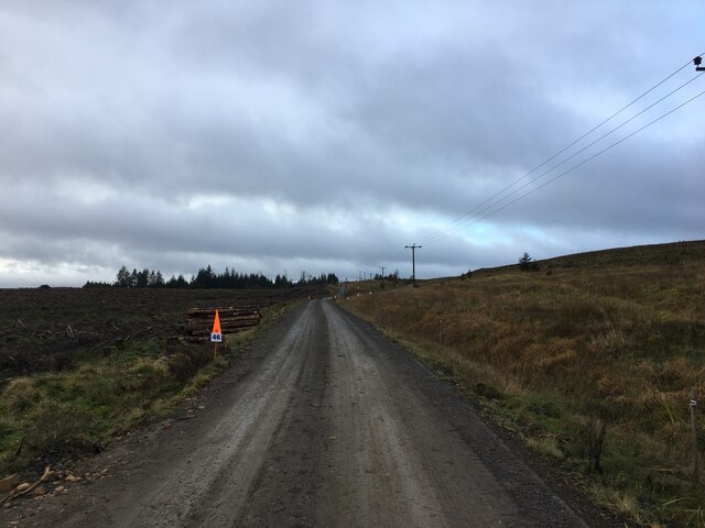
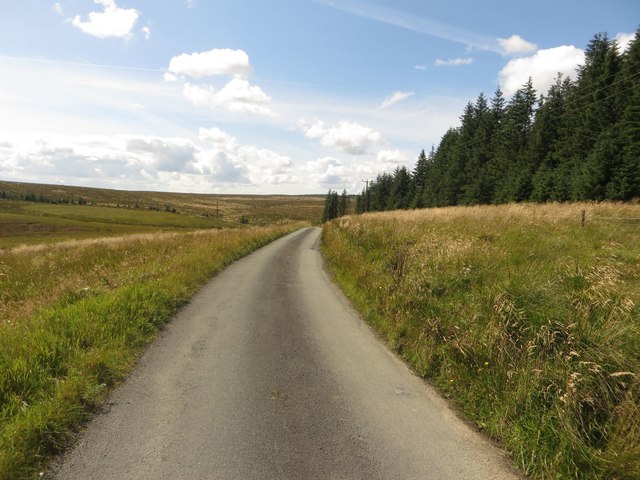
Birky Shank, located in Cumberland, is a prominent hill/mountain that stands tall and commands attention in the region. Rising to an impressive height, it offers breathtaking panoramic views of the surrounding landscape. Situated in an area known for its natural beauty, Birky Shank serves as a popular destination for hikers, nature enthusiasts, and adventure seekers.

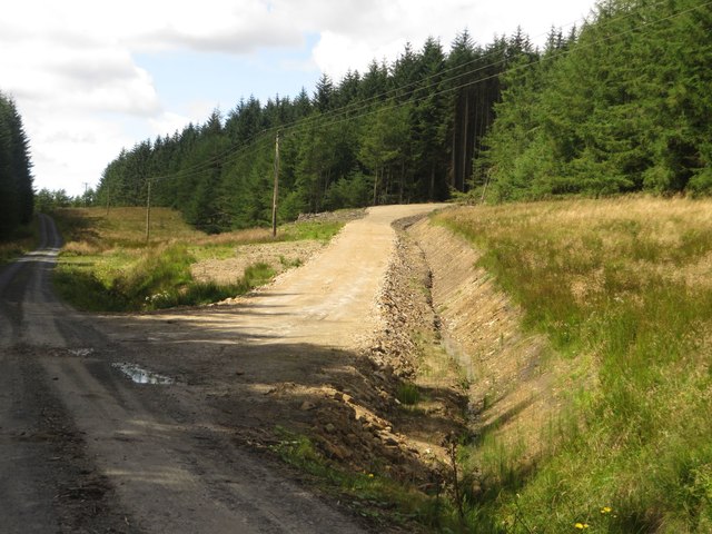
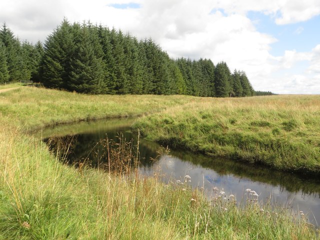
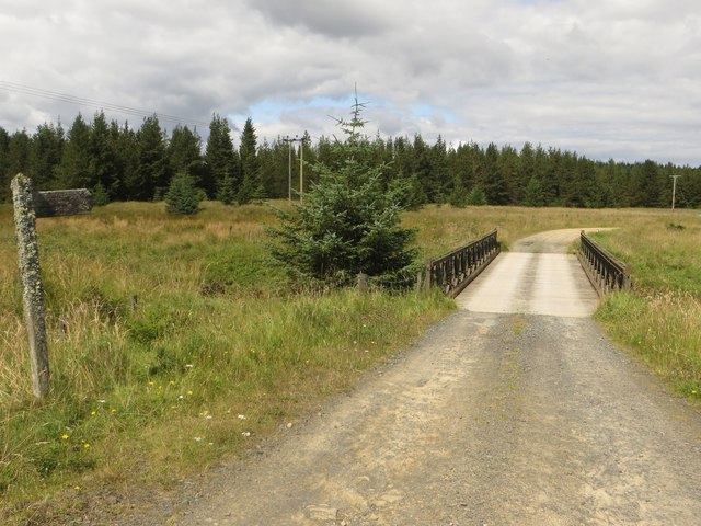
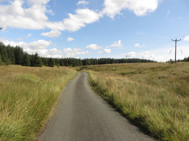
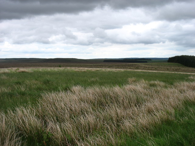
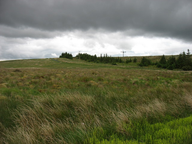
The hill/mountain is characterized by its rugged terrain, featuring rocky outcrops, steep slopes, and dense vegetation. Its diverse flora and fauna make it an ideal habitat for a wide range of plant and animal species. Visitors to Birky Shank can expect to encounter various types of trees, including oak, beech, and pine, as well as numerous wildflowers and shrubs that dot the landscape.

Hiking trails are scattered throughout the area, catering to both novice and experienced hikers. These well-maintained paths wind their way up the hill/mountain, offering a challenging yet rewarding trek to the summit. Along the way, hikers may come across small streams, cascading waterfalls, and hidden caves, adding to the allure and excitement of the journey.

The summit of Birky Shank provides an unparalleled view, with vistas stretching for miles. On clear days, visitors can see neighboring hills, valleys, and even glimpses of nearby towns. The breathtaking scenery is truly a feast for the eyes, making it a popular spot for photographers and nature lovers alike.

Overall, Birky Shank in Cumberland is a captivating natural wonder, boasting stunning scenery, diverse wildlife, and exhilarating hiking opportunities. Its beauty and allure continue to attract visitors from near and far, offering a memorable experience for all who venture to its summit.

If you have any feedback on the listing, please let us know in the comments section below.

Birky Shank Images

Images are sourced within 2km of 55.075603/-2.5333628 or Grid Reference NY6675. Thanks to Geograph Open Source API. All images are credited.

Gravel road near Churnsike Lodge
Churn Sike, Wark Forest A small stream crossing the forest track close to its confluence with the River Irthing.
Churn Sike, Wark Forest
A small stream crossing the forest track close to its confluence with the River Irthing.
The River Irthing Looking up the small valley of the River Irthing.
The River Irthing
Looking up the small valley of the River Irthing.
The River Irthing The River Irthing, flowing close to the edge of a block of trees of Wark Forest.
The River Irthing
The River Irthing, flowing close to the edge of a block of trees of Wark Forest.
New track, Wark Forest A new track constructed to provide plant access to a block of trees in Wark Forest which are soon to be clear felled.
New track, Wark Forest
A new track constructed to provide plant access to a block of trees in Wark Forest which are soon to be clear felled.
The River Irthing near Churnsike Lodge A bend in the River Irthing close to the isolated buildings at Churnsike Lodge.
The River Irthing near Churnsike Lodge
A bend in the River Irthing close to the isolated buildings at Churnsike Lodge.
Bridge over the River Irthing The bridge crossing the River Irthing to the south of Churnsike Lodge. The public road ends here but a track carries on providing access to Wark Forest.
Bridge over the River Irthing
The bridge crossing the River Irthing to the south of Churnsike Lodge. The public road ends here but a track carries on providing access to Wark Forest.
Country road south of Churnside Lodge Looking along the quiet country lane which only provides access to Wark Forest and a small number of isolated houses.
Country road south of Churnside Lodge
Looking along the quiet country lane which only provides access to Wark Forest and a small number of isolated houses.
Country road near Gowany Knowe The minor country road passing between dense plantations.
Country road near Gowany Knowe
The minor country road passing between dense plantations.
Dense trees near Stourcleugh Gair The edge of a dense plantation beside the country road near Stourcleugh Gair.
Dense trees near Stourcleugh Gair
The edge of a dense plantation beside the country road near Stourcleugh Gair.
Butter Burn crossings A ford and a bridge crossing the Butter Burn stream to the north west of Butterburn farm.
Butter Burn crossings
A ford and a bridge crossing the Butter Burn stream to the north west of Butterburn farm.
Butter Burn Looking downstream along the Butter Burn from the bridge crossing the stream to the north west of Butterburn farm.
Butter Burn
Looking downstream along the Butter Burn from the bridge crossing the stream to the north west of Butterburn farm.
Butter Burn Looking downstream along the Butter Burn from the minor road west of the farm of the same name.
Butter Burn
Looking downstream along the Butter Burn from the minor road west of the farm of the same name.
Beside the Butter Burn Heading towards the River Irthing and back to Gilsland.
Beside the Butter Burn
Heading towards the River Irthing and back to Gilsland.
Ford and bridge on the Butterburn road The bridge is signed as a Weak Bridge with a 12-tonne limit. Anything of that sort of size is unlikely to have any difficulty with the ford.
Ford and bridge on the Butterburn road
The bridge is signed as a Weak Bridge with a 12-tonne limit. Anything of that sort of size is unlikely to have any difficulty with the ford.
Firebreak in Wark Forest I would have thought, not really wide enough for its intended purpose.
Firebreak in Wark Forest
I would have thought, not really wide enough for its intended purpose.
Butterburn Flow Butterburn Flow is an extensive area of blanket bog which is a Nature Reserve. There are no paths on the reserve and the terrain is uneven with regular blocked drains, so it requires care in exploration.
Butterburn Flow
Butterburn Flow is an extensive area of blanket bog which is a Nature Reserve. There are no paths on the reserve and the terrain is uneven with regular blocked drains, so it requires care in exploration.
The Butterburn Road The Butterburn road is here heading towards Butterburn Farm and Gilsland, over the slight rise called Birky Shank. The most westerly part of Butterburn Flow is on the left.
The Butterburn Road
The Butterburn road is here heading towards Butterburn Farm and Gilsland, over the slight rise called Birky Shank. The most westerly part of Butterburn Flow is on the left.
Show me another place!

Birky Shank is located at Grid Ref: NY6675 (Lat: 55.075603, Lng: -2.5333628)

Administrative County: Cumbria

District: Carlisle

Police Authority: Cumbria

What 3 Words

///adopts.ideas.nicely. Near Greenhead, Northumberland

Nearby Locations

Gowany Knowe Birky Shank

Related Wikis

Churnsike Lodge

Churnsike Lodge is an early Victorian hunting lodge situated in the parish of Greystead, West Northumberland, England. Constructed in 1850 by the Charlton...

RAF Spadeadam

RAF Spadeadam (pronounced "Spade Adam") (IATA: N/A, ICAO: EGOM) is a Royal Air Force (RAF) station in Cumbria, England, close to the border with Northumberland...

Wark Forest

Wark Forest is the southern part of Kielder Forest in Northumberland, England. Wark Forest is found within the south-west tip of Northumberland National...

Sighty Crag

Sighty Crag is a hill in the southern part of the Kielder Forest region in northern England, a region which also includes its fellow Marilyns of Peel Fell...

Popping Stone

The Popping Stone is a group of three rounded boulders in the Irthing Gorge near the village of Gilsland. It was not always this shape, however, and photographs...

Kingwater

Kingwater is a civil parish in City of Carlisle district, Cumbria, England. At the 2011 census it had a population of 170.The parish is bordered to the...

Gilsland Spa

Gilsland Spa is the present-day name of a hotel at Gilsland, Cumbria, England. It is named from the sulphurous spring which issues from a cliff below...

Northumbria

Northumbria (; Old English: Norþanhymbra rīċe; Latin: Regnum Northanhymbrorum) was an early medieval Anglo-Saxon kingdom in what is now Northern England...

Nearby Amenities

Located within 500m of 55.075603,-2.5333628
Birky Shank
Place: locality
Lat/Long: 55.0750811/-2.5331771
Barrier: cattle_grid
Lat/Long: 55.0734535/-2.5307632
Gringarry Hill
Place: locality
Lat/Long: 55.0792737/-2.5372216
Power: pole
Source: Bing
Lat/Long: 55.0780878/-2.5376651
Power: pole
Lat/Long: 55.0786855/-2.5362882
Power: pole
Lat/Long: 55.0792813/-2.5348908
Power: pole
Lat/Long: 55.0800336/-2.5343114
Power: pole
Lat/Long: 55.0774157/-2.5377902
Power: pole
Lat/Long: 55.0767478/-2.5377607
Power: pole
Lat/Long: 55.0747431/-2.5319658
Power: pole
Lat/Long: 55.0740506/-2.5314776
Power: pole
Lat/Long: 55.0751673/-2.5331919
Power: pole
Lat/Long: 55.0755281/-2.5342127
Power: pole
Lat/Long: 55.0759338/-2.5353634
Power: pole
Lat/Long: 55.0761955/-2.5364827
Power: pole
Lat/Long: 55.0726936/-2.5304927
Power: pole
Lat/Long: 55.073374/-2.5309865
The data included in this document is from www.openstreetmap.org. The data is made available under ODbL.

Have you been to Birky Shank?

Leave your review of Birky Shank below (or comments, questions and feedback).