Andrew's Hill

Hill, Mountain in Northumberland

England

Andrew's Hill

Gravel road near Churnsike Lodge
Gravel road near Churnsike Lodge Credit: Steven Brown

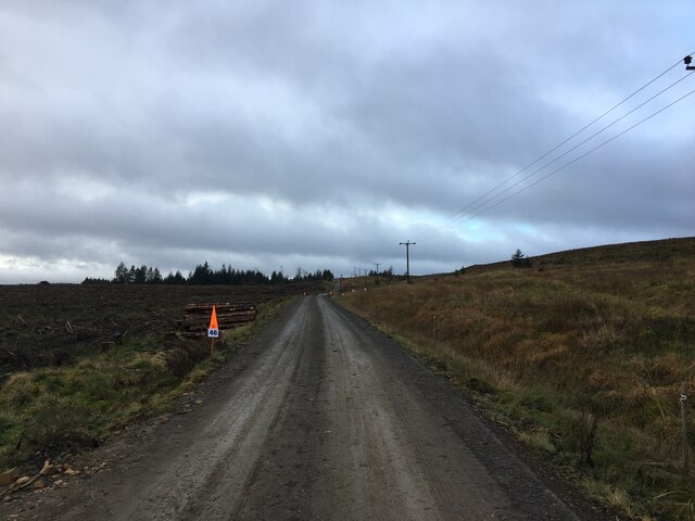
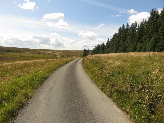
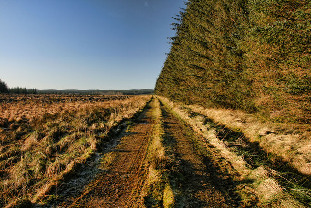
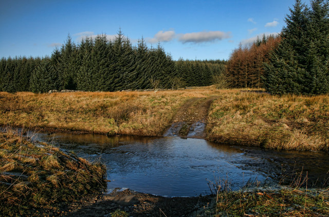
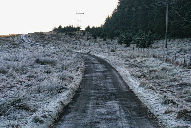
Andrew's Hill is a prominent geographical feature located in the county of Northumberland, England. Situated in the northern part of the county, it is a picturesque hill known for its natural beauty and stunning panoramic views. Rising to an elevation of approximately 500 meters (1,640 feet), Andrew's Hill offers breathtaking vistas of the surrounding Northumberland countryside.

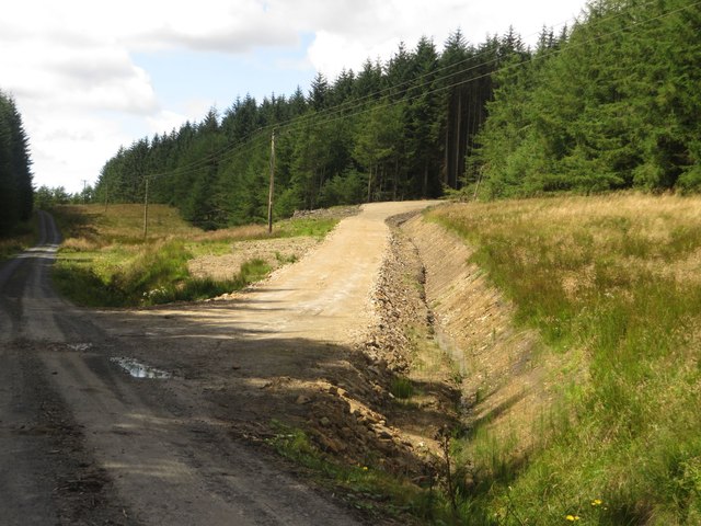
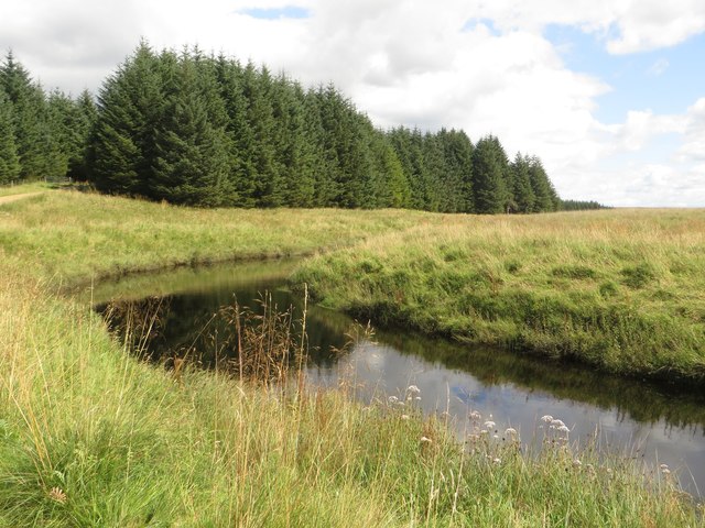
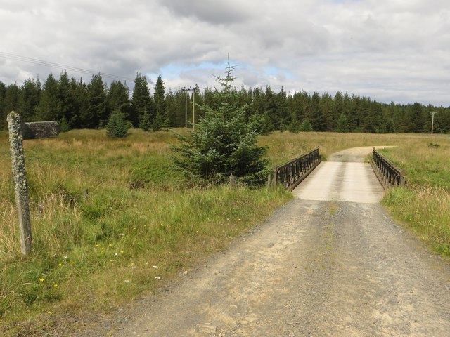
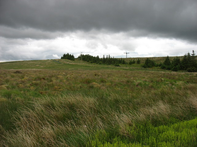
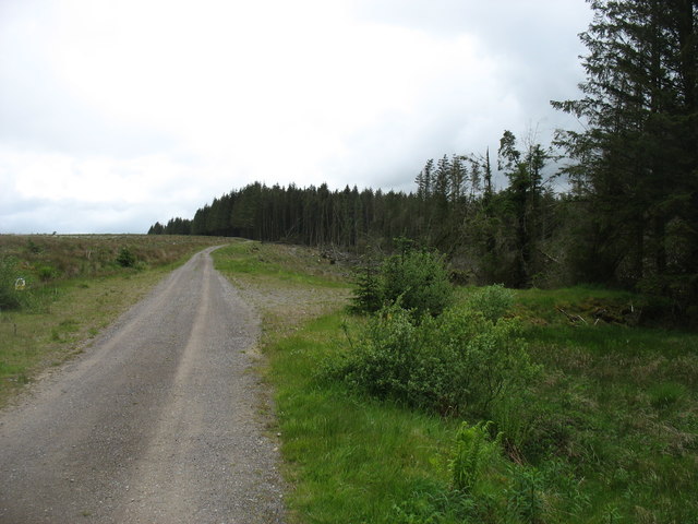
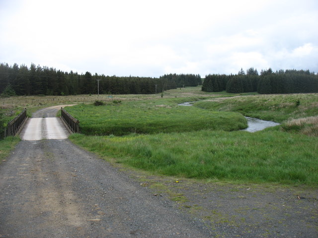
The hill is characterized by its rolling green slopes, which are primarily covered in grass and heather, giving it a distinctive appearance throughout the year. It is a popular destination for hikers, nature enthusiasts, and photographers, who are drawn to its tranquil ambiance and the opportunity to capture awe-inspiring images of the landscape.

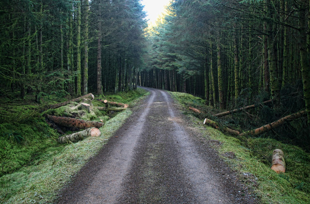
Andrew's Hill is part of the wider Northumberland National Park, which spans over 1,000 square kilometers (386 square miles) and encompasses diverse habitats and wildlife. The park is home to various bird species, including peregrine falcons and red grouse, as well as mammals such as red squirrels and roe deer. It also boasts an array of plant species, including rare wildflowers and ancient woodlands.

The hill is easily accessible, with several well-maintained footpaths and trails leading up to its summit. Visitors can enjoy a range of activities, including hiking, picnicking, and wildlife spotting. Additionally, the hill is in close proximity to other attractions in the area, such as historic castles, charming villages, and the famous Hadrian's Wall.

Overall, Andrew's Hill in Northumberland provides a captivating natural setting for outdoor enthusiasts and offers a glimpse into the region's rich natural heritage.

If you have any feedback on the listing, please let us know in the comments section below.

Andrew's Hill Images

Images are sourced within 2km of 55.092136/-2.5377821 or Grid Reference NY6577. Thanks to Geograph Open Source API. All images are credited.

Gravel road near Churnsike Lodge
Forestry road towards Churnsike Lodge
Churn Sike, Wark Forest A small stream crossing the forest track close to its confluence with the River Irthing.
Churn Sike, Wark Forest
A small stream crossing the forest track close to its confluence with the River Irthing.
The River Irthing Looking up the small valley of the River Irthing.
The River Irthing
Looking up the small valley of the River Irthing.
The River Irthing The River Irthing, flowing close to the edge of a block of trees of Wark Forest.
The River Irthing
The River Irthing, flowing close to the edge of a block of trees of Wark Forest.
New track, Wark Forest A new track constructed to provide plant access to a block of trees in Wark Forest which are soon to be clear felled.
New track, Wark Forest
A new track constructed to provide plant access to a block of trees in Wark Forest which are soon to be clear felled.
The River Irthing near Churnsike Lodge A bend in the River Irthing close to the isolated buildings at Churnsike Lodge.
The River Irthing near Churnsike Lodge
A bend in the River Irthing close to the isolated buildings at Churnsike Lodge.
Bridge over the River Irthing The bridge crossing the River Irthing to the south of Churnsike Lodge. The public road ends here but a track carries on providing access to Wark Forest.
Bridge over the River Irthing
The bridge crossing the River Irthing to the south of Churnsike Lodge. The public road ends here but a track carries on providing access to Wark Forest.
Country road south of Churnside Lodge Looking along the quiet country lane which only provides access to Wark Forest and a small number of isolated houses.
Country road south of Churnside Lodge
Looking along the quiet country lane which only provides access to Wark Forest and a small number of isolated houses.
The Butterburn Road The Butterburn road is here heading towards Butterburn Farm and Gilsland, over the slight rise called Birky Shank. The most westerly part of Butterburn Flow is on the left.
The Butterburn Road
The Butterburn road is here heading towards Butterburn Farm and Gilsland, over the slight rise called Birky Shank. The most westerly part of Butterburn Flow is on the left.
The Butterburn Road Near the end of the public road, and here looking south, back towards Butterburn Farm and Gilsland.
The Butterburn Road
Near the end of the public road, and here looking south, back towards Butterburn Farm and Gilsland.
The end of the (public) Butterburn Road The track ahead leads to Churnsike Lodge. It is a public bridleway but, strictly, not open to vehicles. There are many tracks and cycle routes ahead in the expanse of Wark Forest. The bridge crosses the infant River Irthing.
The end of the (public) Butterburn Road
The track ahead leads to Churnsike Lodge. It is a public bridleway but, strictly, not open to vehicles. There are many tracks and cycle routes ahead in the expanse of Wark Forest. The bridge crosses the infant River Irthing.
Paddaburn Crags View from the forestry road.
Paddaburn Crags
View from the forestry road.
Braid Loans Track through Spadeadam Forest near Braid Loans.
Braid Loans
Track through Spadeadam Forest near Braid Loans.
Double Haugh Ford crossing the River Irthing at Double Haugh near Paddaburn.
Double Haugh
Ford crossing the River Irthing at Double Haugh near Paddaburn.
Gringarry Hill Track in Spadeadam Forest near Gringarry Hill.  The recent high winds have felled a lot of trees.
Gringarry Hill
Track in Spadeadam Forest near Gringarry Hill. The recent high winds have felled a lot of trees.
Birky Shank Road leading up Birky Shank.
Birky Shank
Road leading up Birky Shank.
Downhill towards Gringarry Hill
Show me another place!

Andrew's Hill is located at Grid Ref: NY6577 (Lat: 55.092136, Lng: -2.5377821)

Unitary Authority: Northumberland

Police Authority: Northumbria

What 3 Words

///dark.armrest.wrenching. Near Greenhead, Northumberland

Nearby Locations

Andrew's Hill

Related Wikis

Churnsike Lodge

Churnsike Lodge is an early Victorian hunting lodge situated in the parish of Greystead, West Northumberland, England. Constructed in 1850 by the Charlton...

Sighty Crag

Sighty Crag is a hill in the southern part of the Kielder Forest region in northern England, a region which also includes its fellow Marilyns of Peel Fell...

Wark Forest

Wark Forest is the southern part of Kielder Forest in Northumberland, England. Wark Forest is found within the south-west tip of Northumberland National...

RAF Spadeadam

RAF Spadeadam (pronounced "Spade Adam") (IATA: N/A, ICAO: EGOM) is a Royal Air Force (RAF) station in Cumbria, England, close to the border with Northumberland...

Kingwater

Kingwater is a civil parish in City of Carlisle district, Cumbria, England. At the 2011 census it had a population of 170.The parish is bordered to the...

Bewcastle Castle

Bewcastle Castle is a ruined castle in the parish of Bewcastle in the English county of Cumbria, a few miles from the Scottish border. == History == The...

Bewcastle Cross

The Bewcastle Cross is an Anglo-Saxon cross which is still in its original position within the churchyard of St Cuthbert's church at Bewcastle, in the...

Popping Stone

The Popping Stone is a group of three rounded boulders in the Irthing Gorge near the village of Gilsland. It was not always this shape, however, and photographs...

Nearby Amenities

Located within 500m of 55.092136,-2.5377821
Johnny's Crags
Place: locality
Lat/Long: 55.0948017/-2.5359638
Andrew's Hill
Place: locality
Lat/Long: 55.0904669/-2.5397653
The data included in this document is from www.openstreetmap.org. The data is made available under ODbL.

Have you been to Andrew's Hill?

Leave your review of Andrew's Hill below (or comments, questions and feedback).