Ireby

Settlement in Lancashire Lancaster

England

Ireby

Coulter Beck Lane
Coulter Beck Lane Credit: Adrian Taylor

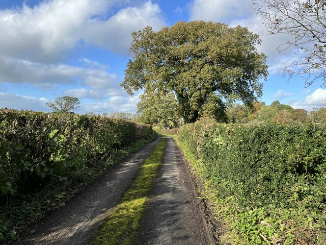
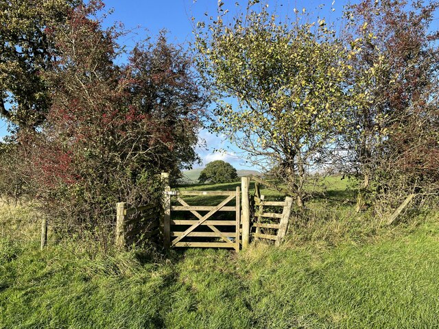
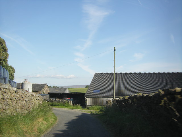
Ireby is a small village located in the county of Lancashire, England. Situated near the Lake District National Park, Ireby is known for its picturesque landscapes and charming rural atmosphere. The village is home to a population of around 400 residents, many of whom are involved in agriculture and farming.

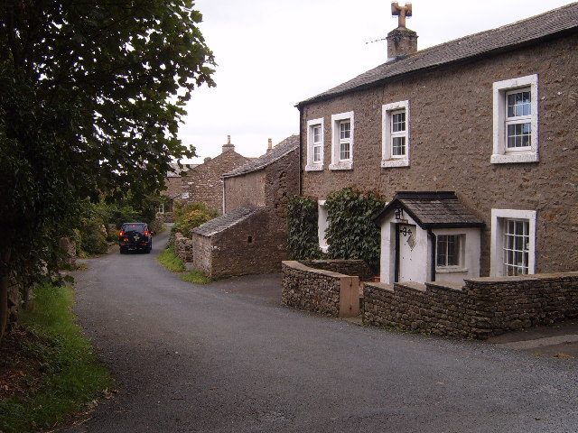
Ireby is characterized by its traditional stone-built houses and narrow winding lanes, giving it a quaint and historic feel. The village is centered around St. James' Church, a Grade II listed building dating back to the 12th century. The church is a focal point for community events and gatherings.

In terms of amenities, Ireby has a village hall, a primary school, and a small pub serving traditional British fare. The village also hosts an annual agricultural show, which attracts visitors from the surrounding areas.

Overall, Ireby offers a peaceful and idyllic setting for those looking to escape the hustle and bustle of city life and enjoy the beauty of the Lancashire countryside.

If you have any feedback on the listing, please let us know in the comments section below.

Ireby Images

Images are sourced within 2km of 54.17392/-2.532258 or Grid Reference SD6575. Thanks to Geograph Open Source API. All images are credited.

Coulter Beck Lane
Coulter Beck Lane
Footpath gate This gate is on the public footpath from Collingholme to Cowan Bridge.
Footpath gate
This gate is on the public footpath from Collingholme to Cowan Bridge.
The old railway near Ireby Hall Farm
St Peter's Church, Leck
Houses on Low Lane, Leck
Approaching buildings of Todgill Farm, Ireby
Roadside stream near Ireby
Road to Masongill from the A65
Masongill Fell Lane
Masongill Fell Lane
Road to Galegreen off the A65
Church of St Peter, Leck
Barn at Harren Well
Barn at Harren Well
Barn at Leck This stone barn now has a modern metal roof.
Barn at Leck
This stone barn now has a modern metal roof.
St Peter's, Leck The church is away from most of the village, but the village is quite spread out.
St Peter's, Leck
The church is away from most of the village, but the village is quite spread out.
Grazing land near Leck Hall It has a bit of the appearance of parkland.
Grazing land near Leck Hall
It has a bit of the appearance of parkland.
Molehills and sheep near Leck Villa Farm
Show me another place!

Ireby is located at Grid Ref: SD6575 (Lat: 54.17392, Lng: -2.532258)

Administrative County: Lancashire

District: Lancaster

Police Authority: Lancashire

What 3 Words

///shippers.waddled.polar. Near Ingleton, North Yorkshire

Nearby Locations

Ireby

Related Wikis

Ireby, Lancashire

Ireby is a small hamlet and civil parish on the edge of Lancashire, England, bordering North Yorkshire. It lies in the City of Lancaster, just inside the...
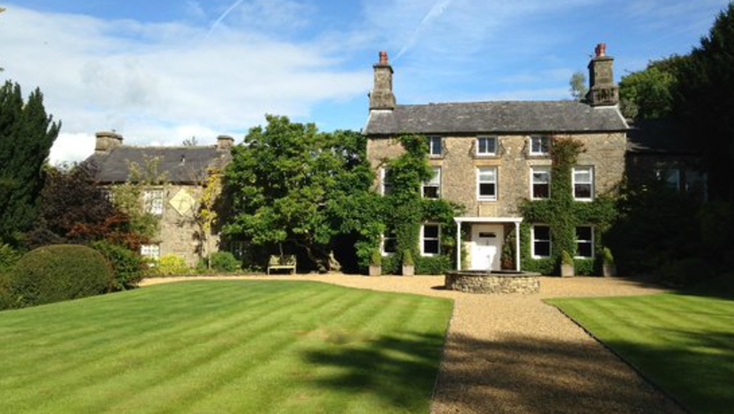
Hipping Hall

Hipping Hall is a country house hotel on the border of Lancashire, Cumbria and North Yorkshire, near Kirkby Lonsdale. Opened in 2005 by chemist-turned...

Masongill

Masongill is a small community on the edge of the Craven district of North Yorkshire, England. The village, in the Yorkshire Dales, lies near the border...

Leck Hall

Leck Hall is an 18th-century country house located at Leck, Lancashire, England, near Kirkby Lonsdale. The hall is grade II listed. and stands in an informal...

Nearby Amenities

Located within 500m of 54.17392,-2.532258
Ireby
Is In: Lancaster, Lancashire
Place: village
Source: npe
Lat/Long: 54.1737693/-2.5309446
Post Box
Collection Times: Mo-Fr 10:00; Sa 16:15
Drive Through: no
Post Box Type: lamp
Ref: LA6 191
Source: survey
Lat/Long: 54.1737198/-2.5312694
Public Bookcase
Booth: K6
Covered: booth
Disused Amenity: telephone
Lit: no
Man Made: telephone_box
Note: now a community bookshelf
Opening Hours: 24/7
Public Bookcase Type: phone_box
Source: survey
Lat/Long: 54.1736856/-2.5312896
Barrier: stile
Material: stone
Source: survey;gps
Stile: stepover
Lat/Long: 54.1757455/-2.5262999
Barrier: stile
Material: stone
Source: survey;gps
Stile: stepover
Lat/Long: 54.1728371/-2.5302928
Barrier: stile
Material: wood
Source: survey;gps
Stile: ladder
Lat/Long: 54.1771293/-2.5340889
Building: garage
Lat/Long: 54.1702109/-2.5317586
Entrance: main
Lat/Long: 54.1702188/-2.5319405
Generator Method: photovoltaic
Generator Orientation: south_west
Generator Output Electricity: yes
Generator Solar Modules: 14
Generator Source: solar
Generator Type: solar_photovoltaic_panel
Location: roof
Power: generator
Lat/Long: 54.1741773/-2.5323653
Generator Method: photovoltaic
Generator Orientation: east
Generator Output Electricity: yes
Generator Solar Modules: 16
Generator Source: solar
Generator Type: solar_photovoltaic_panel
Location: roof
Power: generator
Lat/Long: 54.1745523/-2.5298872
Generator Method: photovoltaic
Generator Output Electricity: yes
Generator Source: solar
Generator Type: solar_photovoltaic_panel
Location: roof
Power: generator
Lat/Long: 54.1735323/-2.5290246
Generator Method: photovoltaic
Generator Output Electricity: yes
Generator Source: solar
Generator Type: solar_photovoltaic_panel
Location: roof
Power: generator
Lat/Long: 54.1735927/-2.5289307
Generator Method: photovoltaic
Generator Output Electricity: yes
Generator Source: solar
Generator Type: solar_photovoltaic_panel
Location: roof
Power: generator
Lat/Long: 54.1736433/-2.5290648
Advertising: board
Lit: no
Lat/Long: 54.1737449/-2.5312609
The data included in this document is from www.openstreetmap.org. The data is made available under ODbL.

Have you been to Ireby?

Leave your review of Ireby below (or comments, questions and feedback).