Middleton

Hill, Mountain in Westmorland Eden

England

Middleton

Moorland above Uldale Beck Uldale Beck flows unseen below the declining, foreground slope; it's a tributary of Langdale Beck which drains the main valley in the image.
Moorland above Uldale Beck Credit: Trevor Littlewood

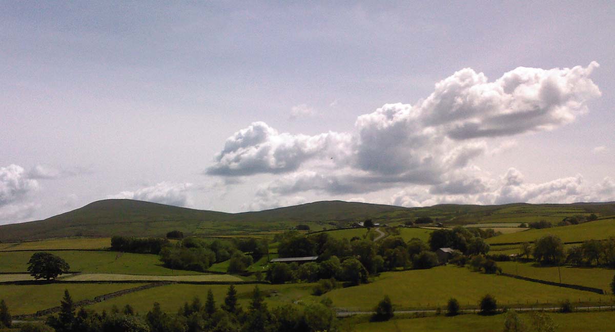
Middleton, Westmorland is a small village located in the district of Eden, within the county of Cumbria in northwest England. Situated in the picturesque region of Westmorland, Middleton is nestled amidst the stunning landscape of the Lake District National Park.

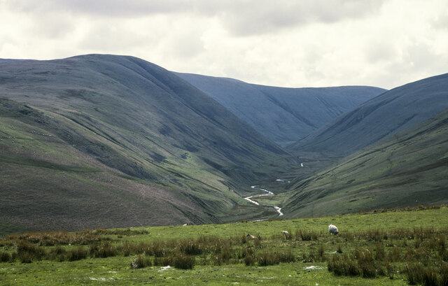
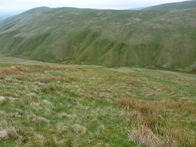
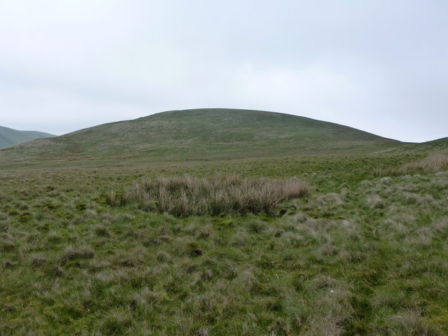
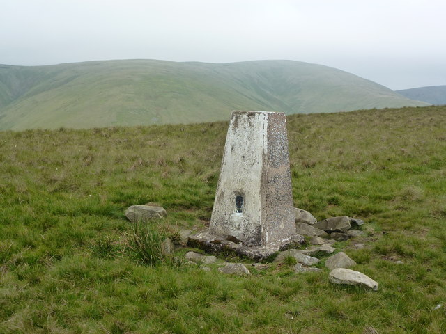
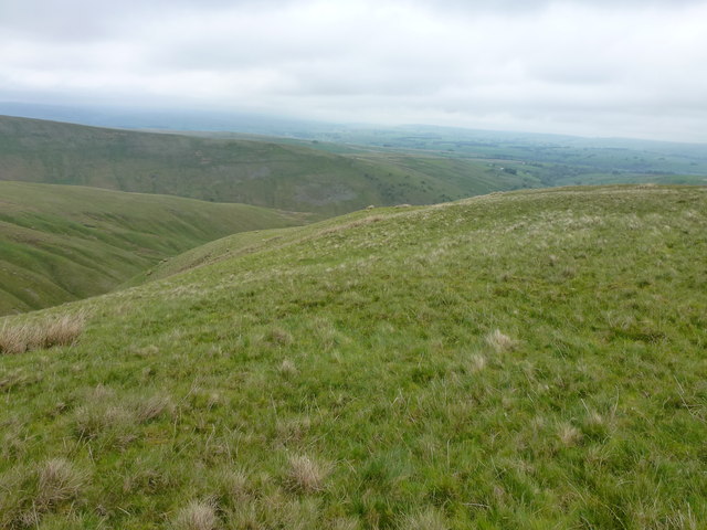
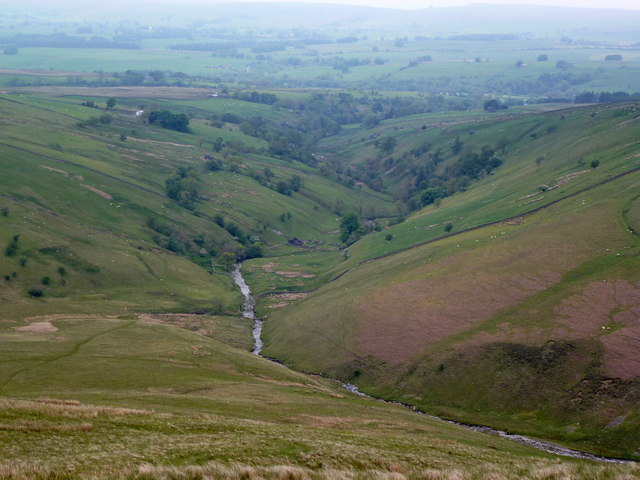
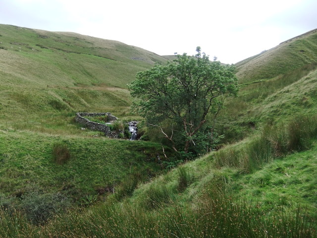
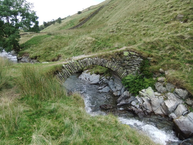
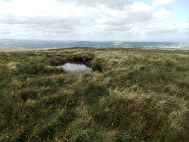
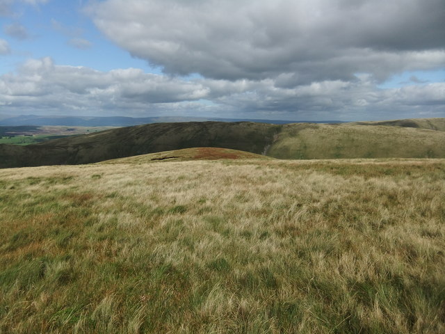
The village is primarily known for its beautiful hill and mountain, which is a popular attraction for outdoor enthusiasts and nature lovers. The hill, known as Middleton Fell, stands at an elevation of approximately 558 meters (1,831 feet) and offers breathtaking panoramic views of the surrounding countryside.

Middleton Fell is a haven for hikers and walkers, with numerous trails and paths that wind their way through the rugged terrain. The mountain is also home to a variety of wildlife, including birds of prey, wild deer, and rare plant species, making it a haven for nature enthusiasts and photographers.

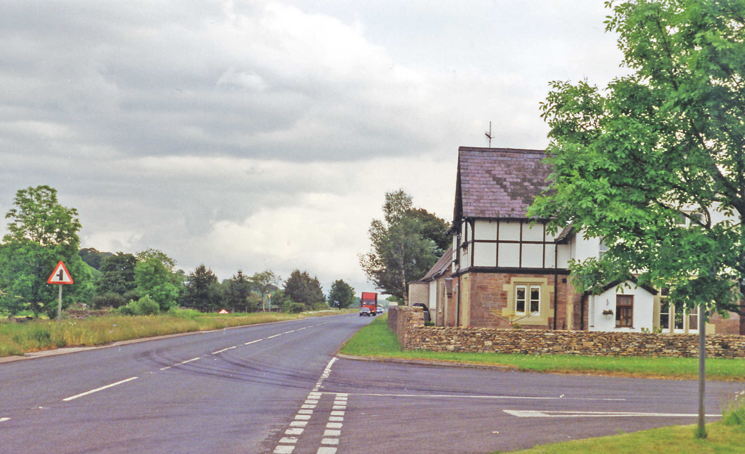
In addition to its natural beauty, Middleton boasts a rich historical heritage, with evidence of human settlement dating back to Roman times. The village itself is charming, with quaint stone cottages, a village green, and a small church that adds to its traditional appeal.

Despite its small size, Middleton is a thriving community, with a vibrant local economy centered around agriculture and tourism. The village is home to a number of small businesses, including local shops, pubs, and bed and breakfast accommodations, which cater to the needs of both residents and visitors.

Overall, Middleton, Westmorland is a hidden gem in the heart of the Lake District, offering a tranquil retreat for those seeking natural beauty, outdoor activities, and a taste of rural English village life.

If you have any feedback on the listing, please let us know in the comments section below.

Middleton Images

Images are sourced within 2km of 54.405085/-2.5365142 or Grid Reference NY6501. Thanks to Geograph Open Source API. All images are credited.

Moorland above Uldale Beck Uldale Beck flows unseen below the declining, foreground slope; it's a tributary of Langdale Beck which drains the main valley in the image.
Moorland above Uldale Beck
Uldale Beck flows unseen below the declining, foreground slope; it's a tributary of Langdale Beck which drains the main valley in the image.
Churn Gill
Churn Gill
The slopes of Hand Lake
Trig Point on Middleton (486m)
Northwest slopes of Middleton
Langdale
Langdale
Looking up Langdale
Looking up Langdale
Gill confluence Little Nevy Gill on the right and Great Nevy Gill on the left.
Gill confluence
Little Nevy Gill on the right and Great Nevy Gill on the left.
Churn Gill
Churn Gill
Footbridge,Langdale Beck
Uldale Beck A secluded spot with a pool below the falls deep enough for a dip!
Uldale Beck
A secluded spot with a pool below the falls deep enough for a dip!
Small pool at the 561m spot height
The sunlit hump is Combs
Struggling through an easterly on Langdale Knott Soft snow and a freezing easterly gale are making the easy slopes of Langdale Knott into something of a trial. At least the upward exertion maintains some bodily warmth.
Struggling through an easterly on Langdale Knott
Soft snow and a freezing easterly gale are making the easy slopes of Langdale Knott into something of a trial. At least the upward exertion maintains some bodily warmth.
Across Langdale Knott An easterly gale is blasting the summit (bare, exposed and no shelter). Beyond is the deep trench of Langdale, the longest and most remote of the valleys that penetrate the heart of the Howgill Fells.
Across Langdale Knott
An easterly gale is blasting the summit (bare, exposed and no shelter). Beyond is the deep trench of Langdale, the longest and most remote of the valleys that penetrate the heart of the Howgill Fells.
Overlooking Langdale, the Howgill Fells A freezing easterly gale is sweeping across the exposed summits and so we have abandoned our plan to continue onto West Fell. Unfortunately, we now face a very steep descent into Langdale via a scree gully and grass slopes covered in slippery powder snow.
Overlooking Langdale, the Howgill Fells
A freezing easterly gale is sweeping across the exposed summits and so we have abandoned our plan to continue onto West Fell. Unfortunately, we now face a very steep descent into Langdale via a scree gully and grass slopes covered in slippery powder snow.
Langdale, the Howgill Fells Having abandoned our plan to gain the ridge above we decided to descend into Langdale and make our way out. The easterly winds have deposited soft snow on the steep slope and in the scree gully making progress slow and tricky. Langdale is the longest and most remote of the Howgill valleys and few walkers come this way.
Langdale, the Howgill Fells
Having abandoned our plan to gain the ridge above we decided to descend into Langdale and make our way out. The easterly winds have deposited soft snow on the steep slope and in the scree gully making progress slow and tricky. Langdale is the longest and most remote of the Howgill valleys and few walkers come this way.
Walking down Langdale The dale is much more sheltered than the exposed summits a few hundred metres above which are being blasted by freezing easterly winds. A thin trod, probably formed by sheep and fell ponies leads above Langdale Beck towards the junction with Great Nevy Gill ahead.
Walking down Langdale
The dale is much more sheltered than the exposed summits a few hundred metres above which are being blasted by freezing easterly winds. A thin trod, probably formed by sheep and fell ponies leads above Langdale Beck towards the junction with Great Nevy Gill ahead.
Show me another place!

Middleton is located at Grid Ref: NY6501 (Lat: 54.405085, Lng: -2.5365142)

Administrative County: Cumbria

District: Eden

Police Authority: Cumbria

What 3 Words

///disprove.thighs.endearing. Near Sedbergh, Cumbria

Nearby Locations

Middleton

Related Wikis

Howgill Fells

The Howgill Fells are uplands in Northern England between the Lake District and the Yorkshire Dales, lying roughly within a triangle formed by the town...

Randygill Top

Randygill Top is a mountain located in the Howgill Fells, Cumbria (historically Westmorland), England. == References ==

Kelleth

Kelleth is a hamlet in Cumbria, England, containing around a dozen houses and formerly a toy factory. It is approximately 19 miles (31 km) from Penrith...

Yarlside

Yarlside is a hill in the Howgill Fells, Cumbria (historically Westmorland), England. This fell is not to be confused with the Yarlside area near Barrow...

Bowderdale

Bowderdale is a hamlet in Cumbria, England, 6 miles (10 km) southwest of Kirkby Stephen. It is also the name of a dale in the Howgill Fells, the valley...

Tebay rail accident

The Tebay rail accident occurred when four railway workers working on the West Coast Main Line were killed by a runaway wagon near Tebay, Cumbria, England...

Gaisgill railway station

Gaisgill railway station was situated on the South Durham & Lancashire Union Railway between Tebay and Kirkby Stephen East. It served the village of Gaisgill...

A685 road

The A685 is a road in Cumbria, England, that runs 28 miles (45 km) from Kendal to Brough. == Route == The A685 begins in Kendal town centre off the A6...

Nearby Amenities

Located within 500m of 54.405085,-2.5365142
Ele: 485.9
Man Made: survey_point
Tpuk Ref: TP4812
Lat/Long: 54.4057557/-2.5363041
Churn Gill
Place: locality
Lat/Long: 54.4038257/-2.5414854
Middleton
Ele: 490
Natural: peak
Lat/Long: 54.4052489/-2.5364545
The data included in this document is from www.openstreetmap.org. The data is made available under ODbL.

Have you been to Middleton?

Leave your review of Middleton below (or comments, questions and feedback).