Hill of Ryland
Hill, Mountain in Banffshire
Scotland
Hill of Ryland
The Hill of Ryland is a prominent hill located in Banffshire, Scotland. Rising to an elevation of approximately 420 meters (1,378 feet), it offers breathtaking views of the surrounding area. Situated near the village of Fordyce, the hill is a popular destination for hikers and nature enthusiasts.
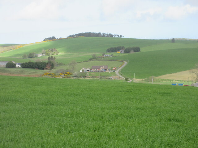
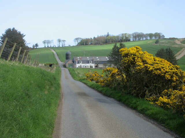
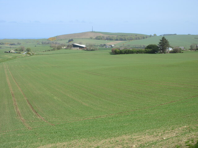
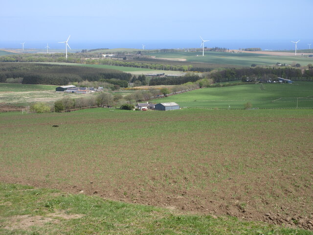
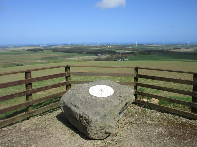
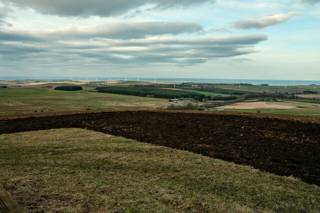
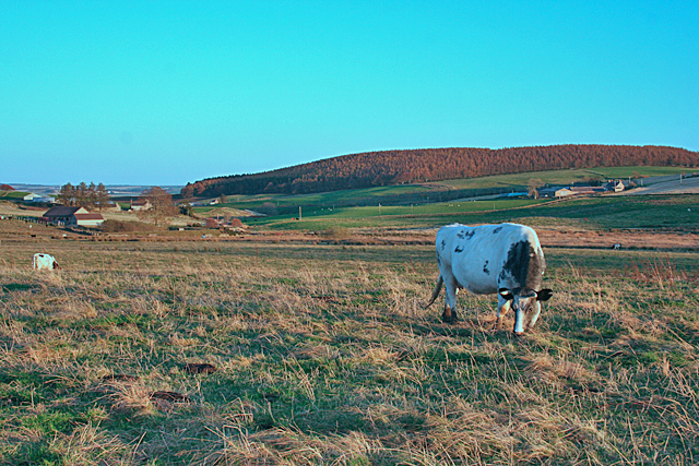
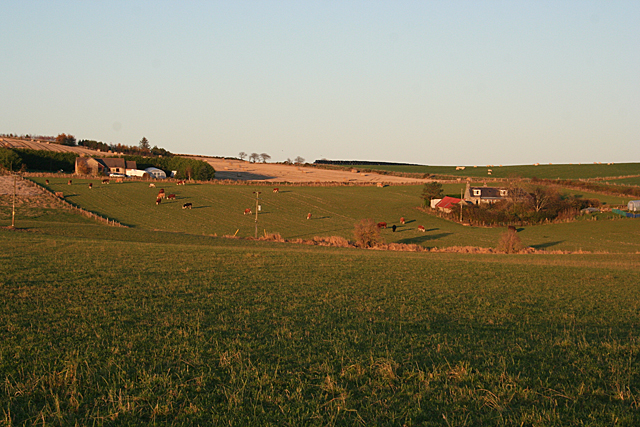
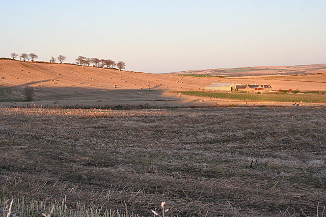
Covered in heather and grass, the Hill of Ryland presents a picturesque landscape. Its slopes are gentle, making it accessible to walkers of varying fitness levels. As visitors ascend the hill, they are treated to panoramic views of the surrounding countryside, including the picturesque village of Fordyce, the rolling fields, and the sparkling waters of the North Sea in the distance.
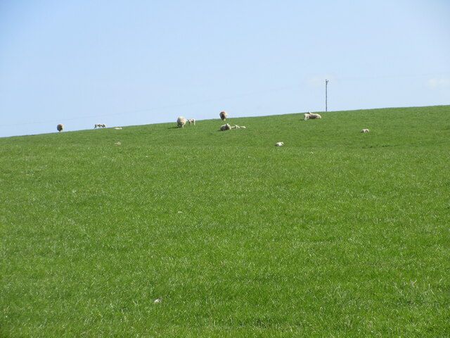
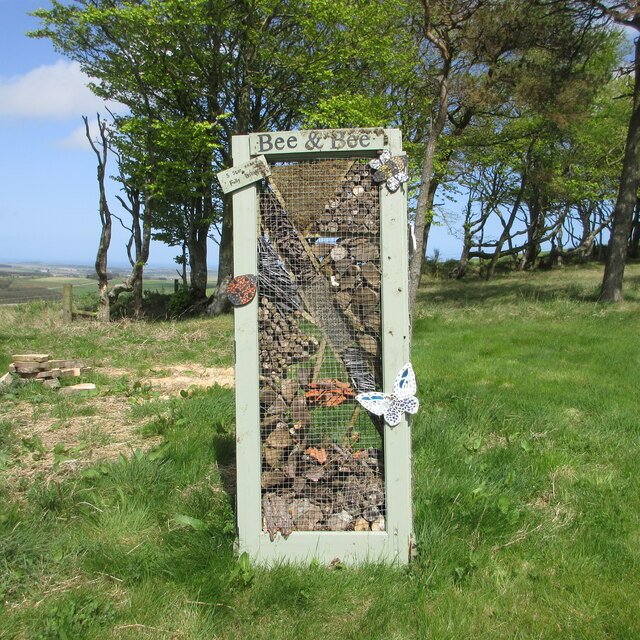
The hill is home to a variety of wildlife, including red deer, rabbits, and various bird species. Birdwatchers flock to the area to catch glimpses of buzzards, kestrels, and even the occasional golden eagle soaring overhead. The hill's diverse ecosystem also supports a rich variety of flora, with wildflowers dotting the landscape during the summer months.
Hikers can access the Hill of Ryland via well-maintained footpaths that wind their way up its slopes. These paths offer a pleasant and safe route to the summit, allowing visitors to enjoy the stunning views without compromising their safety. On clear days, it is even possible to see as far as the Cairngorms National Park, adding an extra element of awe to the experience.
In conclusion, the Hill of Ryland in Banffshire is a beautiful and accessible hill that offers hikers stunning views of the surrounding countryside. With its diverse wildlife and flora, it is a haven for nature lovers and a must-visit destination for those exploring the area.
If you have any feedback on the listing, please let us know in the comments section below.
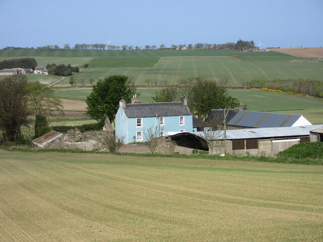
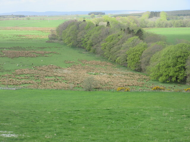
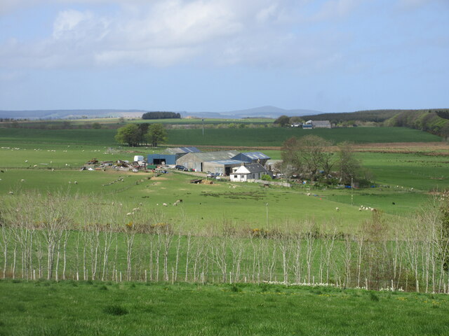
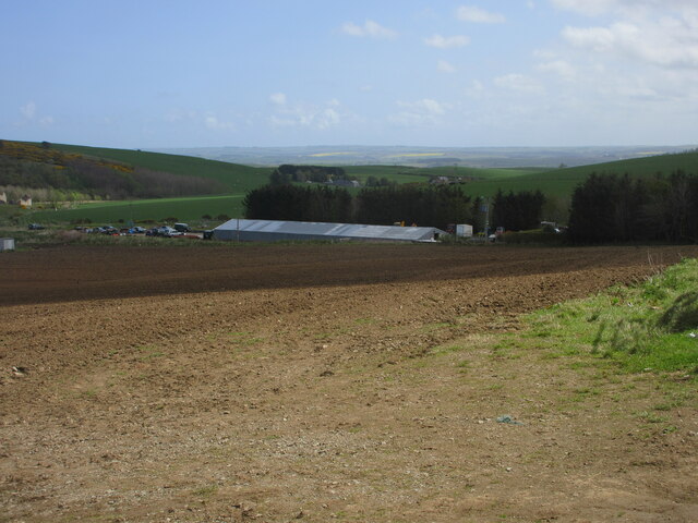
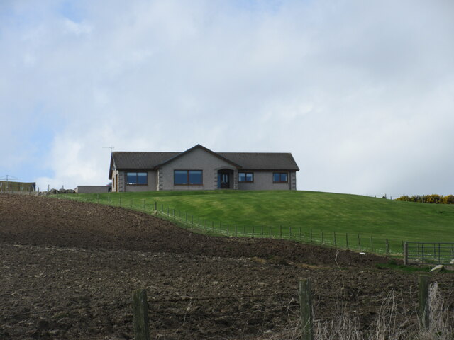
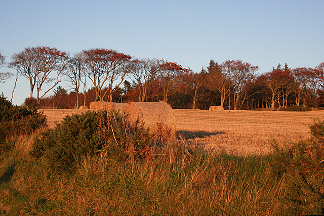
Hill of Ryland Images
Images are sourced within 2km of 57.602665/-2.5858417 or Grid Reference NJ6557. Thanks to Geograph Open Source API. All images are credited.

Hill of Ryland is located at Grid Ref: NJ6557 (Lat: 57.602665, Lng: -2.5858417)
Unitary Authority: Aberdeenshire
Police Authority: North East
What 3 Words
///meatballs.costly.differ. Near Aberchirder, Aberdeenshire
Nearby Locations
Related Wikis
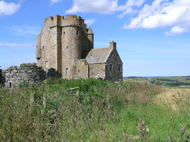
Inchdrewer Castle
Inchdrewer Castle is a 16th-century tower house in the parish of Banff, Aberdeenshire, in the north-east of Scotland. Situated on a slight rise 3.5 miles...

Eden Castle
Eden Castle is a castle near Banff in Aberdeenshire, Scotland. The castle was built in the latter half of the 16th century by the Meldrum family with renovation...

Aberchirder
Aberchirder (Scots: Fogieloan, Scottish Gaelic: Obar Chiardair) known locally as Foggieloan or Foggie, is a village in Aberdeenshire, Scotland, situated...

Ordens railway station
Ordens railway station was opened in 1859, its services restricted and renamed Ordens Platform railway station by 1911 and finally Ordens Halt railway...
Nearby Amenities
Located within 500m of 57.602665,-2.5858417Have you been to Hill of Ryland?
Leave your review of Hill of Ryland below (or comments, questions and feedback).