Penn Hill

Hill, Mountain in Dorset

England

Penn Hill

Stratton, war memorial On Dorchester Road; recording the names of thirteen fallen in the world wars.
Stratton, war memorial Credit: Mike Faherty

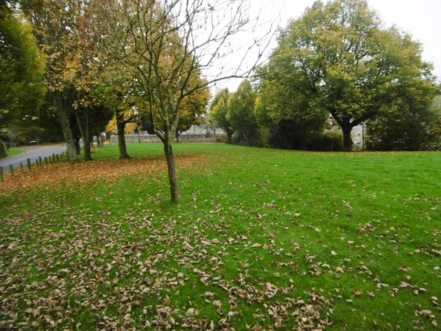
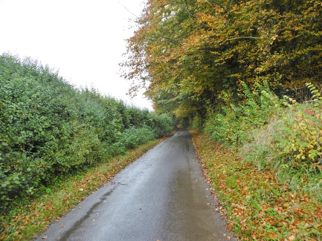
Penn Hill is a prominent hill located in the county of Dorset, England. Situated near the town of Poole, it is part of the larger South West Peninsula region. Rising to an elevation of approximately 62 meters (203 feet), Penn Hill offers breathtaking panoramic views of the surrounding area.

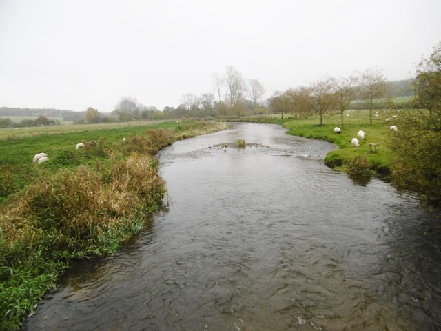
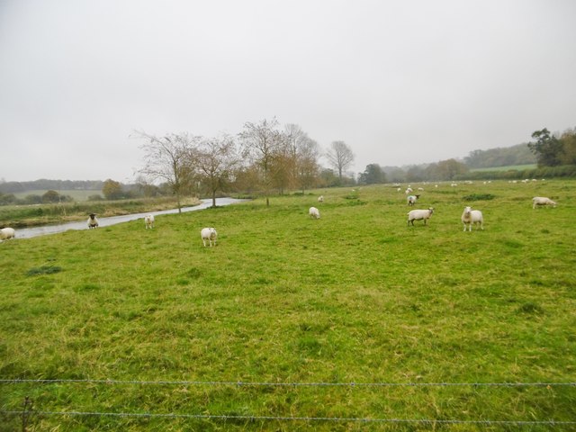
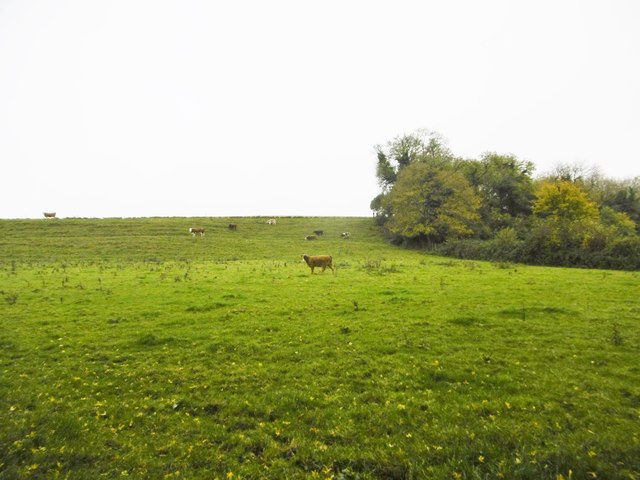
The hill is characterized by its gentle slopes and verdant landscape, adorned with lush greenery and scattered trees. Its geological composition primarily consists of sand and clay, contributing to its fertile soil. As a result, the area is known for its vibrant flora and fauna, attracting nature enthusiasts and wildlife observers.

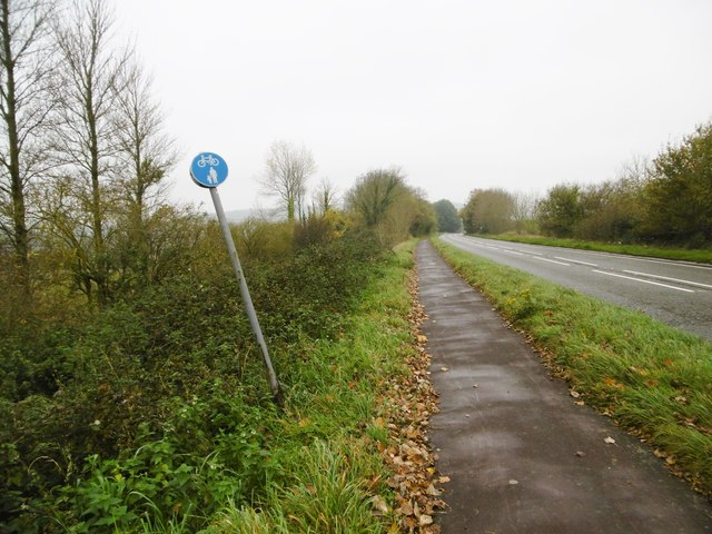
Penn Hill is also home to several walking and hiking trails, allowing visitors to explore its natural beauty at their leisure. These trails provide a great opportunity to enjoy the fresh air and discover the diverse plant and animal species that inhabit the hill.

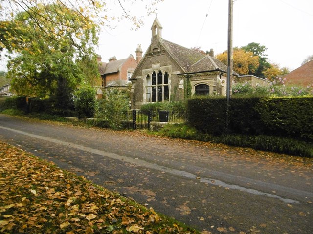
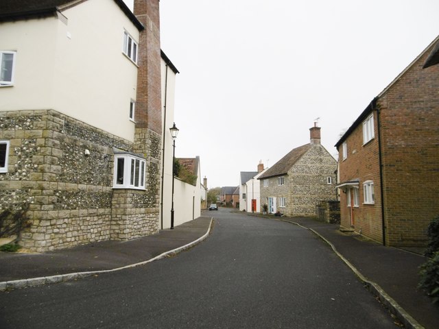
In addition to its natural attractions, Penn Hill boasts a close-knit community that adds to its charm. The residential area surrounding the hill offers a range of amenities, including shops, restaurants, and recreational facilities. The local residents take pride in preserving the area's natural heritage and maintaining a peaceful environment.

Penn Hill is easily accessible by road and public transport, making it a popular destination for day trips and outdoor activities. Whether it's a leisurely stroll, a picnic with family and friends, or simply enjoying the picturesque scenery, Penn Hill provides an idyllic setting for relaxation and enjoyment.

If you have any feedback on the listing, please let us know in the comments section below.
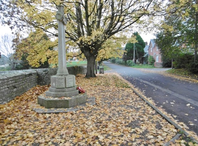
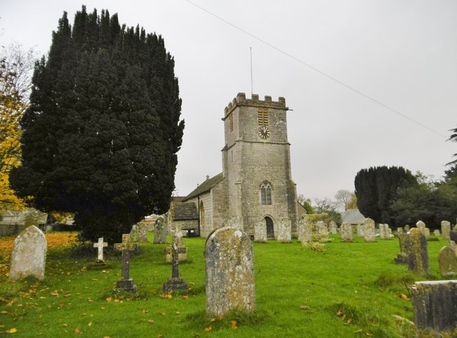
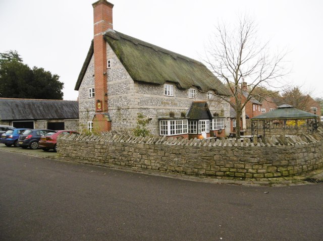
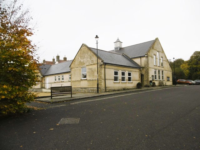
Penn Hill Images

Images are sourced within 2km of 50.731179/-2.4996916 or Grid Reference SY6492. Thanks to Geograph Open Source API. All images are credited.

Stratton, war memorial On Dorchester Road; recording the names of thirteen fallen in the world wars.
Stratton, war memorial
On Dorchester Road; recording the names of thirteen fallen in the world wars.
Stratton, St. Mary the Virgin Parish church on Dorchester Road, dating from C12; listed by Historic England (Grade I): <span class="nowrap"><a title="http://www.imagesofengland.org.uk/Details/Default.aspx?id=401939&mode=adv" rel="nofollow ugc noopener" href="http://www.imagesofengland.org.uk/Details/Default.aspx?id=401939&mode=adv">Link</a><img style="margin-left:2px;" alt="External link" title="External link - shift click to open in new window" src="https://s1.geograph.org.uk/img/external.png" width="10" height="10"/></span>
Stratton, St. Mary the Virgin
Parish church on Dorchester Road, dating from C12; listed by Historic England (Grade I): LinkExternal link
Stratton, Saxon Arms Welcoming village pub on the Square. A modern building, like the village hall opposite, and houses on this side of the main road, but with plenty of character. Back bar, open plan, with drinking area front and left, and dining right. Wooden panelled ceilings, wood burning stoves and festoons of hops. Cask ales on offer at my visit: Butcombe Bitter, Moorhouse's White Witch, St. Austell Proper Job, Taylor's Landlord. Listed in the 2016 Good Beer Guide.
Stratton, Saxon Arms
Welcoming village pub on the Square. A modern building, like the village hall opposite, and houses on this side of the main road, but with plenty of character. Back bar, open plan, with drinking area front and left, and dining right. Wooden panelled ceilings, wood burning stoves and festoons of hops. Cask ales on offer at my visit: Butcombe Bitter, Moorhouse's White Witch, St. Austell Proper Job, Taylor's Landlord. Listed in the 2016 Good Beer Guide.
Stratton Village Hall On the Square; dated 2000.
Stratton Village Hall
On the Square; dated 2000.
Stratton Village Green Overlooking Dorchester Road; with seats and a playground (out of sight).
Stratton Village Green
Overlooking Dorchester Road; with seats and a playground (out of sight).
Stratton, former school On Dorchester Road, dated 1898; now residential.
Stratton, former school
On Dorchester Road, dated 1898; now residential.
Bradford Peverell, Roman Road Lane from the crossroads at Muckleford to the village. Autumn colours on the beeches are showing well. Part of the Roman route from Ilchester to Dorchester.
Bradford Peverell, Roman Road
Lane from the crossroads at Muckleford to the village. Autumn colours on the beeches are showing well. Part of the Roman route from Ilchester to Dorchester.
Bradford Peverell, cottages In the village centre, on Roman Road.
Bradford Peverell, cottages
In the village centre, on Roman Road.
Bradford Peverell, St. Mary's Parish church, mid-C19 by Decimus Burton; listed by Historic England (Grade II*): <span class="nowrap"><a title="http://www.imagesofengland.org.uk/Details/Default.aspx?id=105117&mode=adv" rel="nofollow ugc noopener" href="http://www.imagesofengland.org.uk/Details/Default.aspx?id=105117&mode=adv">Link</a><img style="margin-left:2px;" alt="External link" title="External link - shift click to open in new window" src="https://s1.geograph.org.uk/img/external.png" width="10" height="10"/></span>
Bradford Peverell, St. Mary's
Parish church, mid-C19 by Decimus Burton; listed by Historic England (Grade II*): LinkExternal link
Bradford Peverell, River Frome Looking downstream from the road to Stratton.
Bradford Peverell, River Frome
Looking downstream from the road to Stratton.
Stratton, railway bridge Carrying the Dorchester to Yeovil line over the Bradford Peverell to Stratton road.
Stratton, railway bridge
Carrying the Dorchester to Yeovil line over the Bradford Peverell to Stratton road.
Stratton, Meadow Bottom Like most of the housing in this corner of the village, modern; but showing sympathetic use of vernacular cladding (thatch or stone and flint).
Stratton, Meadow Bottom
Like most of the housing in this corner of the village, modern; but showing sympathetic use of vernacular cladding (thatch or stone and flint).
Stratton, postbox DT2 605, at the western end of the village, on Dorchester Road; ahead, A37 and the village by-pass.
Stratton, postbox
DT2 605, at the western end of the village, on Dorchester Road; ahead, A37 and the village by-pass.
Stratton, footpath Alongside Dorchester Road (A37); the wonky sign indicates that the path is to be shared by pedestrians and cyclists.
Stratton, footpath
Alongside Dorchester Road (A37); the wonky sign indicates that the path is to be shared by pedestrians and cyclists.
Grimstone, River Frome Looking downstream from the road to Muckleford. It is to be hoped that the sheep can swim.
Grimstone, River Frome
Looking downstream from the road to Muckleford. It is to be hoped that the sheep can swim.
Grimstone, sheep grazing On the banks of River Frome.
Grimstone, sheep grazing
On the banks of River Frome.
Bradford Peverell, cattle grazing
Bradford Peverell, Roman Road Lane from Muckleford to Bradford Peverell, parallel to River Frome. Beech trees are showing good autumn colour. Part of the Roman route from Ilchester to Dorchester.
Bradford Peverell, Roman Road
Lane from Muckleford to Bradford Peverell, parallel to River Frome. Beech trees are showing good autumn colour. Part of the Roman route from Ilchester to Dorchester.
Show me another place!

Penn Hill is located at Grid Ref: SY6492 (Lat: 50.731179, Lng: -2.4996916)

Unitary Authority: Dorset

Police Authority: Dorset

What 3 Words

///rates.sunblock.magnitude. Near Charminster, Dorset

Related Wikis

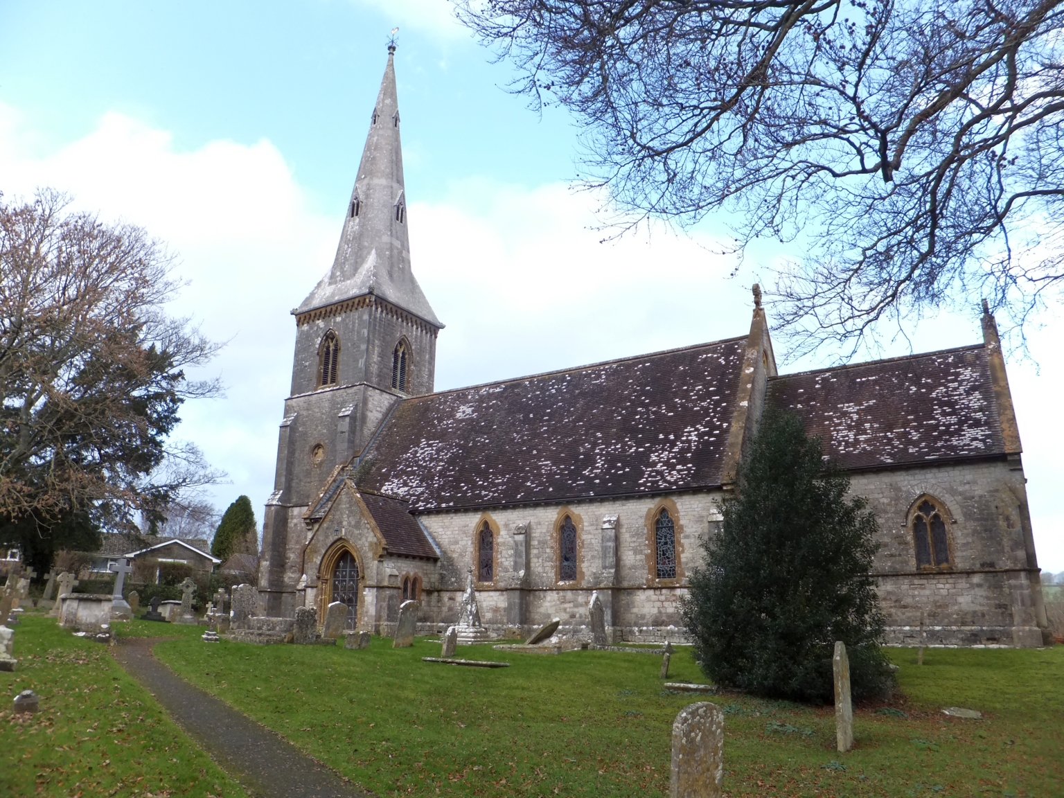
St Mary's Church, Bradford Peverell

St Mary's Church is a Church of England parish church in Bradford Peverell, Dorset, England. It was designed by Decimus Burton and built in 1849–50. The...

Bradford Peverell

Bradford Peverell is a village and civil parish in the English county of Dorset, 2 miles (3.2 km) north-west of the county town Dorchester. It is sited...

Stratton, Dorset

Stratton is a village and civil parish in Dorset, England, situated in the Frome valley about 3 miles (4.8 km) north-west of Dorchester. The parish includes...

Bradford Peverell & Stratton Halt

Bradford Peverell and Stratton Halt was a station on the Great Western Railway on what had originally been part of the Wiltshire, Somerset & Weymouth Railway...

Grimstone, Dorset

Grimstone is a hamlet at the confluence of Sydling Water and the River Frome in the western part of the civil parish of Stratton, Dorset. The Great Western...

Grimstone and Frampton railway station

Grimstone and Frampton railway station was a station on the Wiltshire, Somerset & Weymouth Railway, part of the Great Western Railway between Maiden Newton...
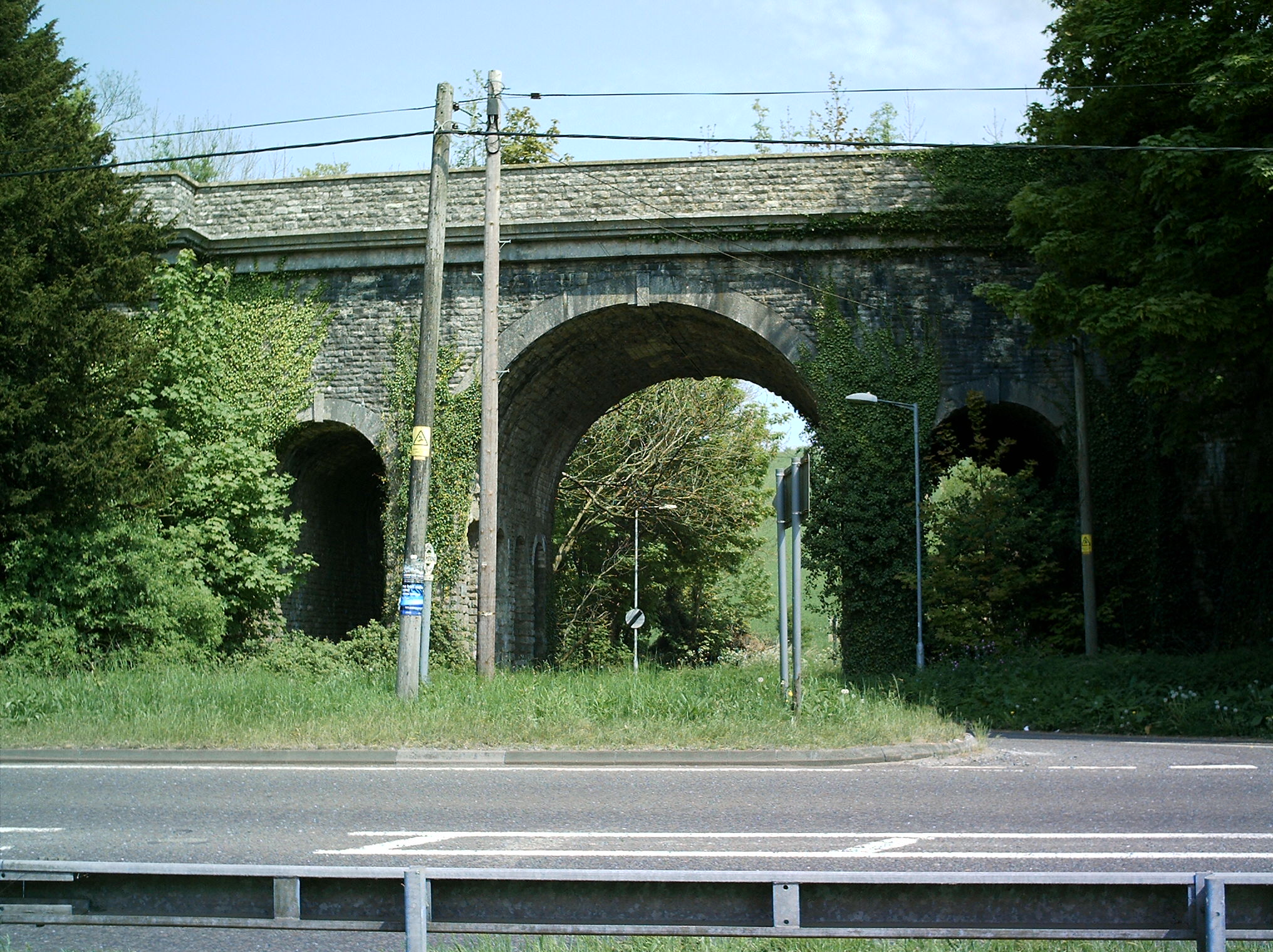
Grimstone Viaduct

The Grimstone Viaduct is a railway bridge on the Castle Cary-Weymouth "Heart of Wessex" line in Dorset, England. It is directly north of the site of Grimstone...

St George's Hundred, Dorset

St George's Hundred, later often George Hundred, was a hundred (administrative division) in the county of Dorset, England, containing the following parishes...

Nearby Amenities

Located within 500m of 50.731179,-2.4996916
Material: wood
Power: pole
Source: bing
Lat/Long: 50.7328681/-2.500885
Material: wood
Power: pole
Source: bing
Lat/Long: 50.7295792/-2.5063066
Material: wood
Power: pole
Source: bing
Lat/Long: 50.7299645/-2.5050657
Material: wood
Power: pole
Source: bing
Lat/Long: 50.7300599/-2.4937035
Material: wood
Power: pole
Source: bing
Lat/Long: 50.7304316/-2.5037176
Material: wood
Power: pole
Source: bing
Lat/Long: 50.7306101/-2.5051025
Material: wood
Power: pole
Source: bing
Lat/Long: 50.7306543/-2.4962556
Material: wood
Power: pole
Source: bing
Lat/Long: 50.7309362/-2.5023339
Material: wood
Power: pole
Source: bing
Lat/Long: 50.7310795/-2.498743
Material: wood
Power: pole
Source: bing
Lat/Long: 50.7311045/-2.5041769
Material: wood
Power: pole
Source: bing
Lat/Long: 50.7314502/-2.5008992
Material: wood
Power: pole
Source: bing
Lat/Long: 50.7316742/-2.5031389
Material: wood
Power: pole
Source: bing
Lat/Long: 50.7320331/-2.4937913
Material: wood
Power: pole
Source: bing
Lat/Long: 50.7321753/-2.4957248
Material: wood
Power: pole
Source: bing
Lat/Long: 50.7323014/-2.5019564
Material: wood
Power: pole
Source: bing
Lat/Long: 50.73244/-2.4976886
Material: wood
Power: pole
Source: bing
Lat/Long: 50.7326717/-2.4991604
Power: pole
Source: bing
Lat/Long: 50.7308555/-2.4974363
Power: pole
Source: bing
Lat/Long: 50.7303495/-2.4949653
The data included in this document is from www.openstreetmap.org. The data is made available under ODbL.

Have you been to Penn Hill?

Leave your review of Penn Hill below (or comments, questions and feedback).