Cairn Hill
Hill, Mountain in Banffshire
Scotland
Cairn Hill
Located in the county of Banffshire, Scotland, Cairn Hill is a prominent hill/mountain that forms part of the scenic landscape of the area. Standing at an impressive height of approximately 688 meters (2,257 feet), it offers breathtaking views of the surrounding countryside and is a popular destination for hikers and nature enthusiasts.
Cairn Hill is situated in the eastern part of Banffshire, close to the village of Glenlivet. It is part of the larger Cairngorms mountain range, renowned for its rugged beauty and diverse wildlife. The hill is easily accessible, with several well-marked trails leading to its summit. The climb can be challenging, particularly for those with limited hiking experience, as the terrain is steep and rocky in certain sections.
From the top of Cairn Hill, visitors are rewarded with panoramic vistas of the surrounding countryside, including rolling hills, moorland, and picturesque glens. On a clear day, it is even possible to see the distant peaks of the Cairngorms National Park. The hill is also home to a variety of flora and fauna, including heather, mosses, and birds of prey.
Given its proximity to Glenlivet, visitors can combine a hike up Cairn Hill with a visit to the renowned Glenlivet Distillery, which produces one of Scotland's most famous single malt whiskies. The distillery offers guided tours and tastings, providing a unique opportunity to experience the local culture and heritage.
In summary, Cairn Hill in Banffshire is a striking natural landmark that offers a challenging yet rewarding hiking experience, stunning views, and a chance to immerse oneself in the beauty of the Scottish countryside.
If you have any feedback on the listing, please let us know in the comments section below.
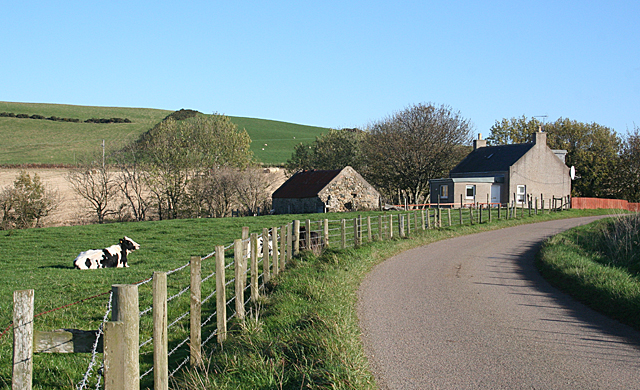
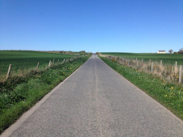
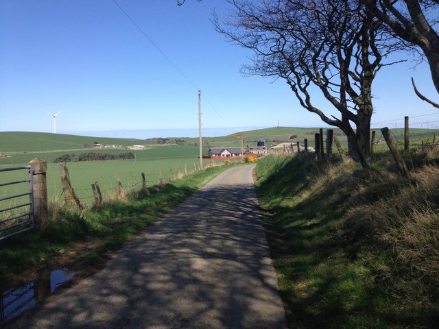
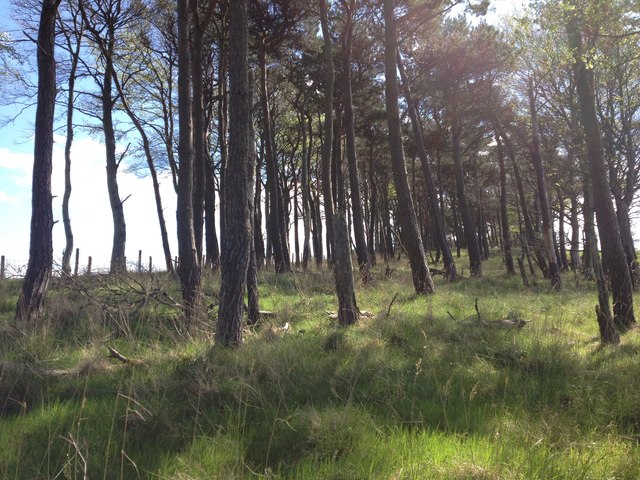
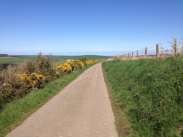
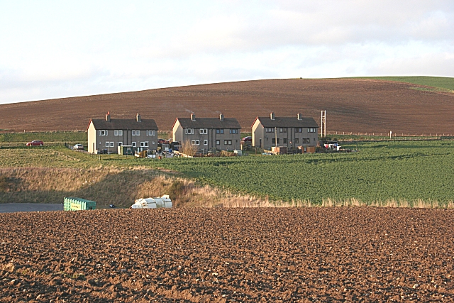
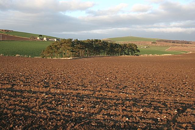
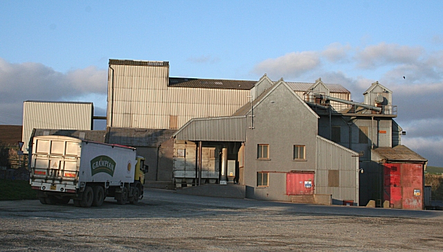
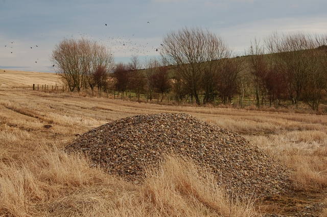
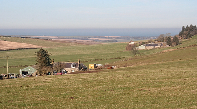
Cairn Hill Images
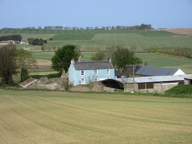
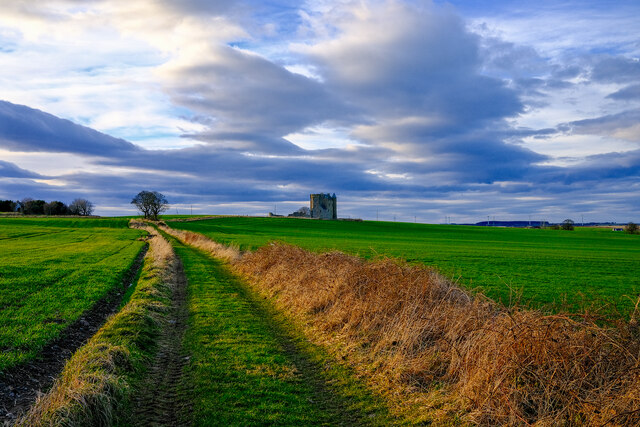
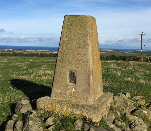
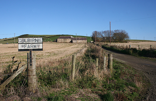
Images are sourced within 2km of 57.625703/-2.5978158 or Grid Reference NJ6459. Thanks to Geograph Open Source API. All images are credited.


Cairn Hill is located at Grid Ref: NJ6459 (Lat: 57.625703, Lng: -2.5978158)
Unitary Authority: Aberdeenshire
Police Authority: North East
What 3 Words
///pancake.sheds.motion. Near Whitehills, Aberdeenshire
Nearby Locations
Related Wikis
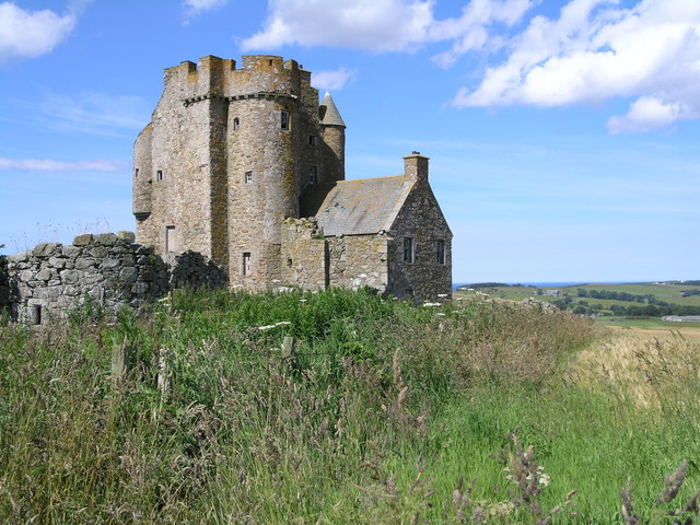
Inchdrewer Castle
Inchdrewer Castle is a 16th-century tower house in the parish of Banff, Aberdeenshire, in the north-east of Scotland. Situated on a slight rise 3.5 miles...

Ordens railway station
Ordens railway station was opened in 1859, its services restricted and renamed Ordens Platform railway station by 1911 and finally Ordens Halt railway...

Ladysbridge railway station
Ladysbridge railway station was a station in Aberdeenshire, Scotland. Opened as Lady's Bridge railway station in 1859 it was renamed Ladysbridge railway...

Ladysbridge Hospital
Ladysbridge Hospital was a mental health facility near Banff, Aberdeenshire, Scotland. The former hospital is a Category B listed building. == History... ==
Nearby Amenities
Located within 500m of 57.625703,-2.5978158Have you been to Cairn Hill?
Leave your review of Cairn Hill below (or comments, questions and feedback).