Black Law

Hill, Mountain in Banffshire

Scotland

Black Law

Old Milestone by the B925, Forglen parish Stone post by the B925, in parish of Forglen (Aberdeen District), 15m West of lane to Sweerburn, on verge behind wire fence.

Inscription reads:-
40
(To Aberdeen)

Surveyed

Milestone Society National ID: AD_TRAC40
Old Milestone by the B925, Forglen parish Credit: Milestone Society

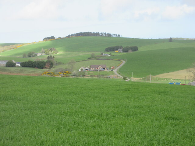
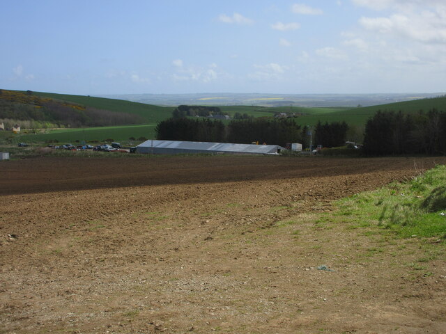
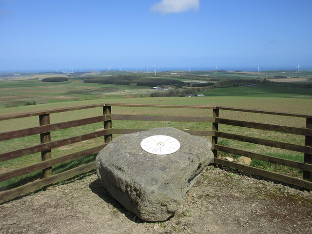
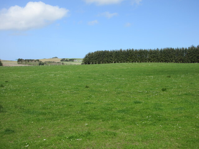
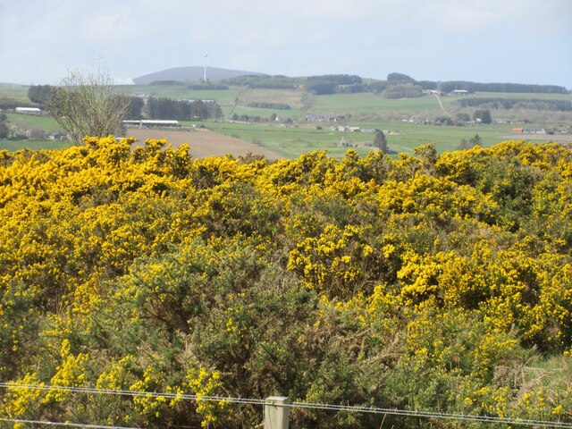
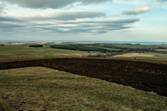
Black Law is a prominent hill located in Banffshire, a historic county in the northeast of Scotland. Situated near the village of Gamrie, it is part of the larger landscape of the Grampian Mountains. Rising to an elevation of approximately 256 meters (840 feet), Black Law offers stunning panoramic views of the surrounding countryside, making it a popular destination for outdoor enthusiasts and nature lovers.

The hill is characterized by its distinctive dark-colored rock formations, which give it its name. These formations are the result of volcanic activity that occurred millions of years ago, leaving behind layers of basalt and other volcanic materials. The hill's unique geological features make it an interesting site for geologists and researchers studying the region's ancient history.

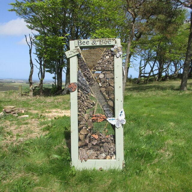
Black Law is home to a diverse range of plant and animal species, contributing to its ecological significance. The hillside supports a variety of heather and grasses, while the surrounding woodlands provide habitat for numerous bird species, such as the common buzzard and Eurasian sparrowhawk. Visitors may also encounter small mammals like rabbits and squirrels during their exploration of the area.

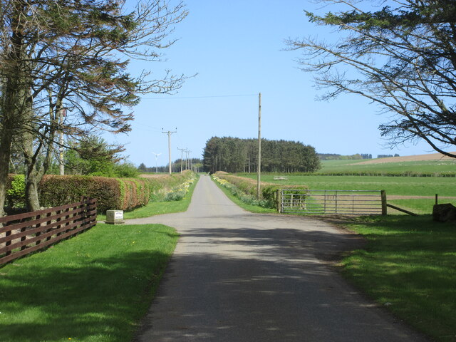
Outdoor activities abound in Black Law, with several walking trails and paths crisscrossing the hillside. These trails offer varying levels of difficulty, catering to both casual strollers and experienced hikers. The hill's accessibility and close proximity to nearby villages make it a popular destination for locals and tourists alike, seeking a peaceful retreat or an adventure in the great outdoors.

If you have any feedback on the listing, please let us know in the comments section below.
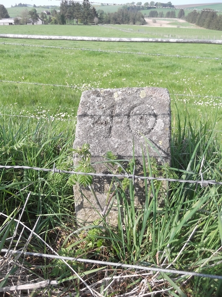
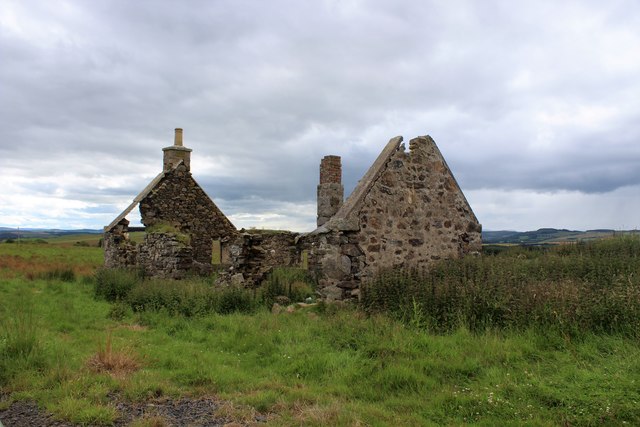
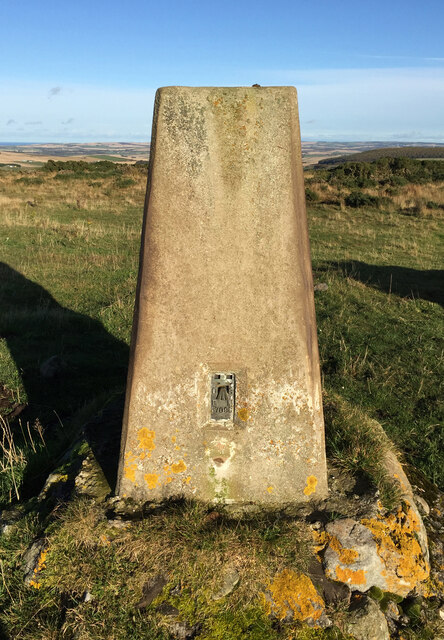
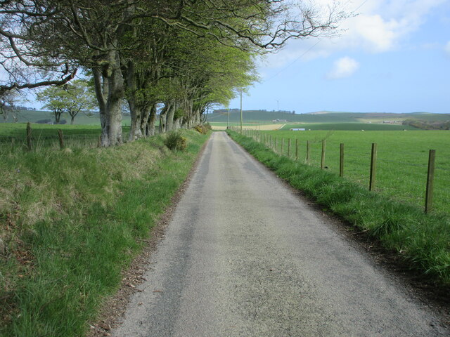
Black Law Images

Images are sourced within 2km of 57.579705/-2.6067934 or Grid Reference NJ6354. Thanks to Geograph Open Source API. All images are credited.

Old Milestone by the B925, Forglen parish Stone post by the B925, in parish of Forglen (Aberdeen District), 15m West of lane to Sweerburn, on verge behind wire fence.

Inscription reads:-
40
(To Aberdeen)

Surveyed

Milestone Society National ID: AD_TRAC40
Old Milestone by the B925, Forglen parish
Stone post by the B925, in parish of Forglen (Aberdeen District), 15m West of lane to Sweerburn, on verge behind wire fence. Inscription reads:- 40 (To Aberdeen) Surveyed Milestone Society National ID: AD_TRAC40
Ruined Cottage A ruined cottage by the roadside at Black Law just north of Aberchirder.
Ruined Cottage
A ruined cottage by the roadside at Black Law just north of Aberchirder.
Black Law Trig Point Flush Bracket S7098
Road near Cooperhill Minor road heading north near Cooperhill.
Road near Cooperhill
Minor road heading north near Cooperhill.
Looking down the hill to Glinne Taobh A distant view from the south to the house at Glinne Taobh near Barbethill.
Looking down the hill to Glinne Taobh
A distant view from the south to the house at Glinne Taobh near Barbethill.
Ploughed field near Deuchries Looking eastwards down a ploughed field near Deuchries, with a large shed at Pinefield beyond.
Ploughed field near Deuchries
Looking eastwards down a ploughed field near Deuchries, with a large shed at Pinefield beyond.
Rosslynlee from the east House at Rosslynlee near Deuchries perched on the hillside above the road.
Rosslynlee from the east
House at Rosslynlee near Deuchries perched on the hillside above the road.
A97 at Mossbank The northbound A97 at Mossbank near Blacklaw, three miles north of Aberchirder.
A97 at Mossbank
The northbound A97 at Mossbank near Blacklaw, three miles north of Aberchirder.
Hill of Maunderlea Viewpoint Metal disc on a boulder pointing out the view from the Hill of Maunderlea.
Hill of Maunderlea Viewpoint
Metal disc on a boulder pointing out the view from the Hill of Maunderlea.
Bee & Bee Bee & Bee five star insect hotel on the Hill of Maunderlea.
Bee & Bee
Bee & Bee five star insect hotel on the Hill of Maunderlea.
Pastureland near Dogshillock Daisy sprinkled pasture near Dogshillock.
Pastureland near Dogshillock
Daisy sprinkled pasture near Dogshillock.
Road at Nether Backieley Long straight minor road heading north-east at Nether Backieley.
Road at Nether Backieley
Long straight minor road heading north-east at Nether Backieley.
Gorse at Auchintoul Moss Gorse in bloom at the roadside at Auchintoul Moss.
Gorse at Auchintoul Moss
Gorse in bloom at the roadside at Auchintoul Moss.
A view of the Sea At the Hill of Maunderlea view point looking towards the sea
A view of the Sea
At the Hill of Maunderlea view point looking towards the sea
Looking Towards Blacklaw Blacklaw is at the far side of this square. On the left is Firs of Milbethill.
Looking Towards Blacklaw
Blacklaw is at the far side of this square. On the left is Firs of Milbethill.
Cranna Hill Looking from the A97 across the Burn of Arkland to Cranna Hill.
Cranna Hill
Looking from the A97 across the Burn of Arkland to Cranna Hill.
North Cranna Late afternoon sunshine casting a glow over North Cranna
North Cranna
Late afternoon sunshine casting a glow over North Cranna
Hilltown Late sunshine on the empty windows of the uninhabited farm house at Hilltown.
Hilltown
Late sunshine on the empty windows of the uninhabited farm house at Hilltown.
Show me another place!

Black Law is located at Grid Ref: NJ6354 (Lat: 57.579705, Lng: -2.6067934)

Unitary Authority: Aberdeenshire

Police Authority: North East

What 3 Words

///hitters.light.sleepless. Near Aberchirder, Aberdeenshire

Related Wikis

Aberchirder

Aberchirder (Scots: Fogieloan, Scottish Gaelic: Obar Chiardair) known locally as Foggieloan or Foggie, is a village in Aberdeenshire, Scotland, situated...

Castle of Park (Aberdeenshire)

Park or Castle of Park, is an A-listed rambling baronial mansion incorporating a 16th-century tower house. It is 4 miles (6.4 km) north-west of Aberchirder...

Bogton

Bogton is a rural area in Aberdeenshire, Scotland. To the south is Whitehill Wood and megalithic circle. == References ==

Whitehill Wood, Aberdeenshire

Whitehill Wood is a wood and megalithic stone circle in Aberdeenshire, Scotland, located off the B9025 road between Aberchirder and Turriff and between...

Nearby Amenities

Located within 500m of 57.579705,-2.6067934
Generator Method: wind_turbine
Generator Output Electricity: yes
Generator Source: wind
Generator Type: horizontal_axis
Power: generator
Lat/Long: 57.5819288/-2.6027432
Generator Method: wind_turbine
Generator Output Electricity: yes
Generator Source: wind
Generator Type: horizontal_axis
Power: generator
Lat/Long: 57.5837607/-2.6044062
Black Law
Natural: peak
Source: NLS-OS-1st_Series
Lat/Long: 57.5797618/-2.6068926
Material: wood
Power: pole
Lat/Long: 57.5789806/-2.614316
Material: wood
Power: pole
Lat/Long: 57.5794138/-2.6146049
Material: wood
Power: pole
Lat/Long: 57.5798499/-2.6148921
Generator Method: wind_turbine
Generator Output Electricity: yes
Generator Source: wind
Generator Type: horizontal_axis
Power: generator
Lat/Long: 57.5774022/-2.6003373
The data included in this document is from www.openstreetmap.org. The data is made available under ODbL.

Have you been to Black Law?

Leave your review of Black Law below (or comments, questions and feedback).