Fog Hill
Hill, Mountain in Yorkshire Ribble Valley
England
Fog Hill
Fog Hill is a prominent geographical feature located in the county of Yorkshire, England. Situated in the picturesque region of North Yorkshire, Fog Hill is a hill/mountain that offers breathtaking views and a unique natural environment.
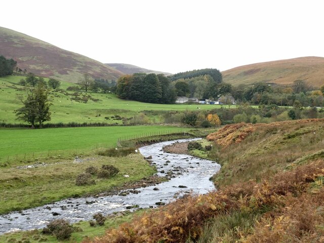
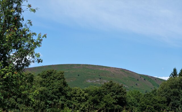
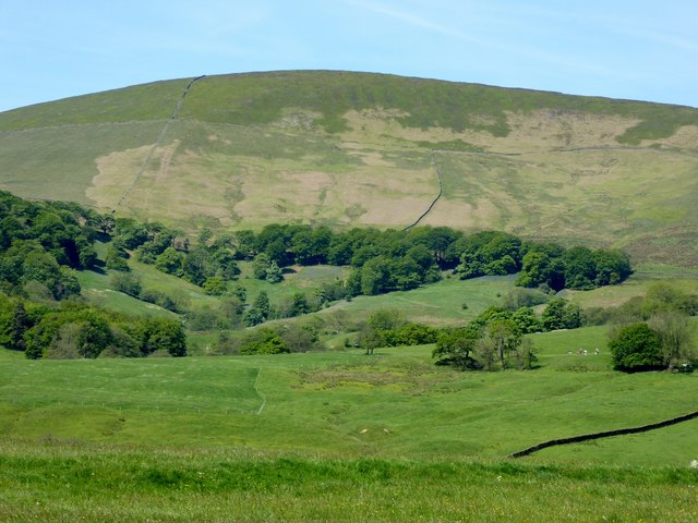
Rising to an elevation of approximately 500 meters (1,640 feet), Fog Hill stands tall amidst the surrounding landscape, making it a notable landmark in the area. Its name is derived from the frequent occurrence of mist and fog that shroud the hill, creating an ethereal and mysterious atmosphere.
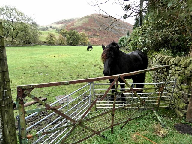
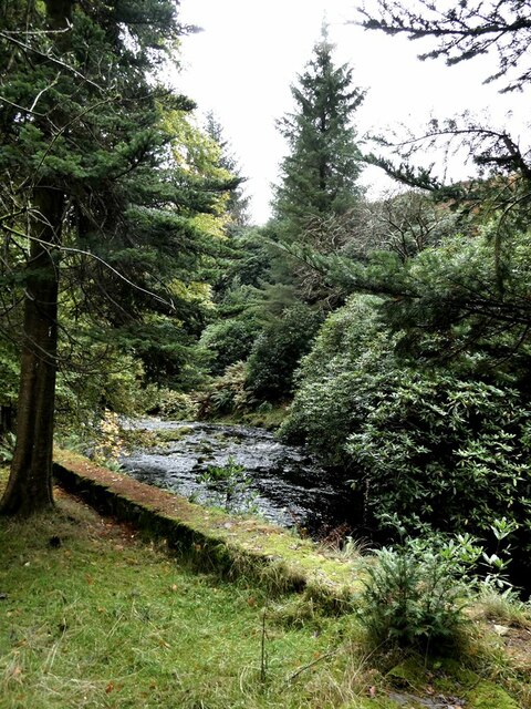
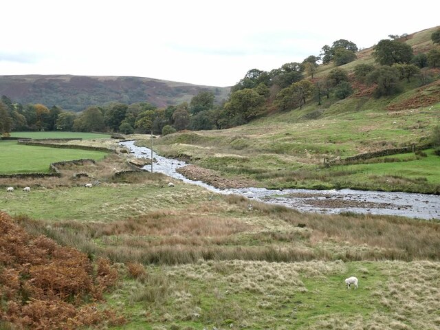
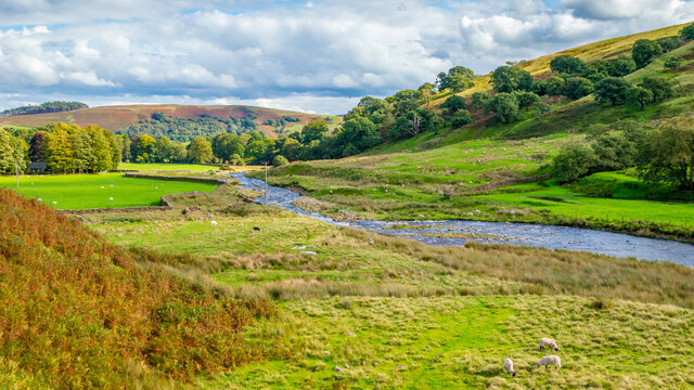
The hill is covered in lush greenery, with dense forests and meadows adorning its slopes. The diverse vegetation found on Fog Hill includes heather, grasses, and various wildflowers, attracting a wide range of fauna. Birdwatchers often flock to the area to observe the different species that inhabit the hill, such as kestrels, pheasants, and various songbirds.
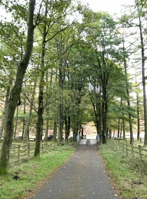
Fog Hill is a popular destination for outdoor enthusiasts, offering numerous hiking trails that cater to different skill levels. These trails lead visitors through scenic routes, allowing them to immerse themselves in the beauty of the surrounding countryside. On a clear day, the summit of Fog Hill provides panoramic views of the rolling hills, valleys, and nearby villages, creating a postcard-worthy scene.
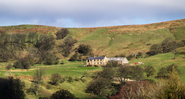
The hill is also home to a few small farms, scattered cottages, and traditional stone walls that add to its charm. The tranquility and natural beauty of Fog Hill make it a favored spot for those seeking solace and a connection with nature. Whether it is a leisurely stroll or a challenging hike, Fog Hill offers an unforgettable experience for all who venture to explore its captivating landscape.
If you have any feedback on the listing, please let us know in the comments section below.
Fog Hill Images
Images are sourced within 2km of 53.946447/-2.5535076 or Grid Reference SD6350. Thanks to Geograph Open Source API. All images are credited.


Fog Hill is located at Grid Ref: SD6350 (Lat: 53.946447, Lng: -2.5535076)
Division: West Riding
Administrative County: Lancashire
District: Ribble Valley
Police Authority: Lancashire
What 3 Words
///splashes.forms.toasters. Near Waddington, Lancashire
Nearby Locations
Related Wikis

Sykes Smelt Mill
Sykes Smelt Mill was a mediaeval mill located between Sykes and Hareden in Bowland Forest High, Lancashire, England. It stood on the banks of Langden Brook...

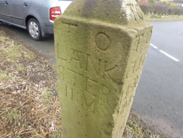
Bowland Forest High milestone
The Bowland Forest High milestone is an historic milestone marker in the English parish of Bowland Forest High, in the Trough of Bowland, Lancashire. A...

Dunsop Bridge (structure)
Dunsop Bridge is a bridge in the English village of the same name. The structure, which dates to the early 19th century, crosses the River Dunsop. A Grade...

Bowland Forest High
Bowland Forest High is a civil parish in the Ribble Valley district of Lancashire, England, covering some 20,000 acres (80 km2) of the Forest of Bowland...
Nearby Amenities
Located within 500m of 53.946447,-2.5535076Have you been to Fog Hill?
Leave your review of Fog Hill below (or comments, questions and feedback).