Blacker's Hill
Hill, Mountain in Somerset Mendip
England
Blacker's Hill
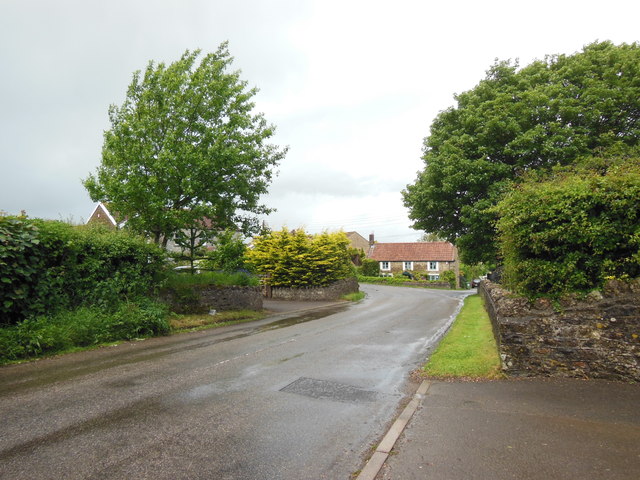
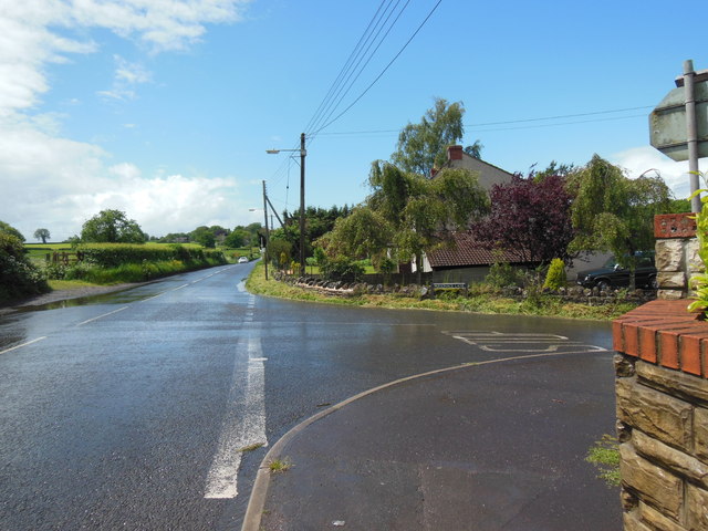
Blacker's Hill is a prominent hill located in Somerset, England. It is situated near the village of Doulting and lies about 5 miles south of Shepton Mallet. With an elevation of approximately 800 feet, it offers stunning panoramic views of the surrounding countryside, making it a popular destination for locals and tourists alike.
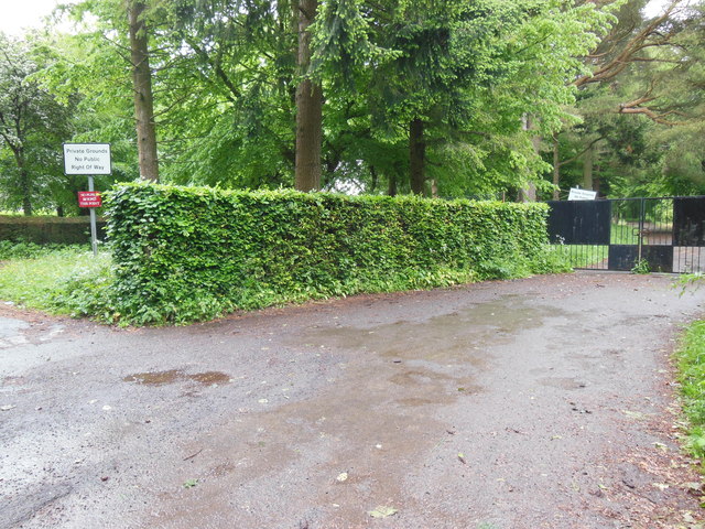
The hill is predominantly made up of limestone, giving it a distinctive appearance and adding to its natural beauty. It is covered in lush green vegetation, with scattered trees and shrubs dotting the landscape. The diverse flora and fauna found on Blacker's Hill make it a haven for nature enthusiasts and wildlife photographers.
At the summit of the hill, there is a trig point, which serves as a marker for surveying and mapping purposes. This point provides a perfect vantage point to appreciate the breathtaking vistas that stretch across Somerset and the neighboring counties.
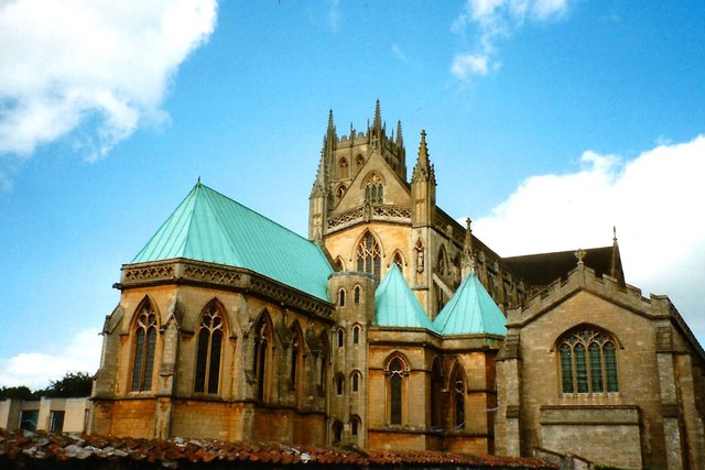
Blacker's Hill is a favorite spot for hikers and walkers, as it is crisscrossed by numerous footpaths and trails. These trails cater to different skill levels, offering options for both leisurely strolls and more challenging hikes. The hill's surroundings also boast historical sites, including the iconic Shepton Mallet Prison, which adds an extra layer of interest for visitors.
Overall, Blacker's Hill is a picturesque location that combines stunning natural beauty, rich biodiversity, and historical significance. It is a must-visit destination for those seeking to immerse themselves in the tranquility of the Somerset countryside.
If you have any feedback on the listing, please let us know in the comments section below.
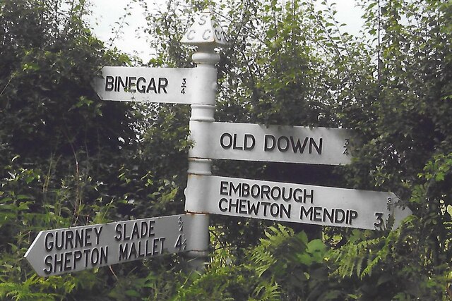
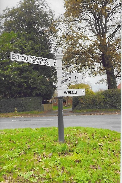
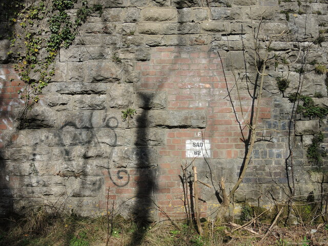
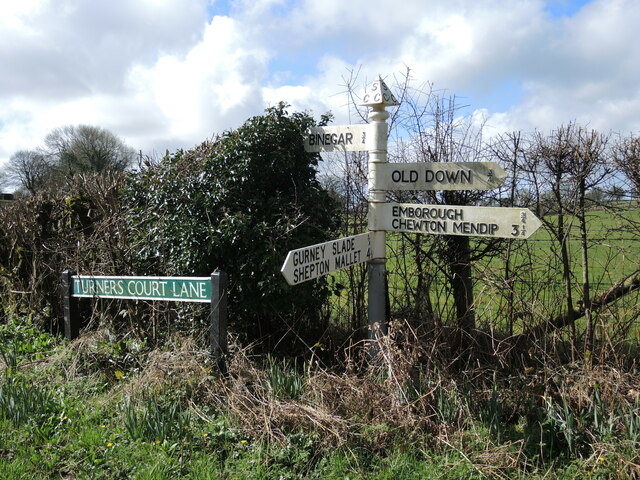
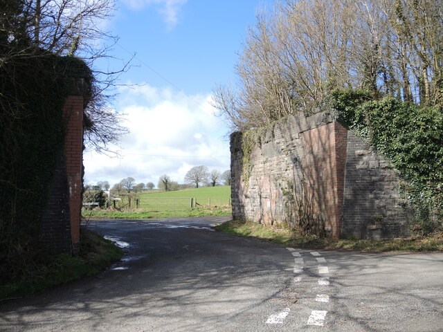
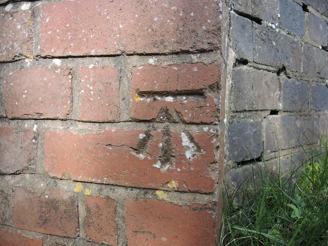
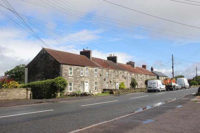
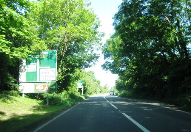
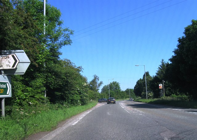
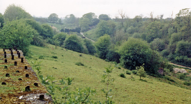
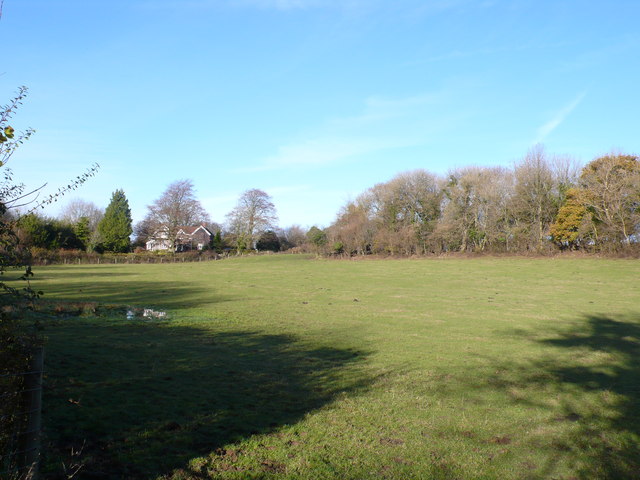
Blacker's Hill Images
Images are sourced within 2km of 51.250106/-2.5207579 or Grid Reference ST6350. Thanks to Geograph Open Source API. All images are credited.


Blacker's Hill is located at Grid Ref: ST6350 (Lat: 51.250106, Lng: -2.5207579)
Administrative County: Somerset
District: Mendip
Police Authority: Avon and Somerset
What 3 Words
///soaks.foresight.inhabited. Near Chilcompton, Somerset
Nearby Locations
Related Wikis

Blacker's Hill
Blacker's Hill is an Iron Age hill fort at Chilcompton, 4.5 kilometres (3 mi) south west of Radstock, Somerset, England. It has been designated as a Scheduled...

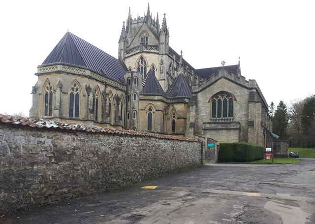
Christ Church, Downside
Christ Church is a former Church of England church in Downside, Somerset, England. Designed by John Pinch the younger, it was built in 1837–38 and closed...

Gurney Slade quarry
Gurney Slade quarry, grid reference ST626497 is a limestone quarry near Gurney Slade between Binegar and Holcombe, on the Mendip Hills, Somerset, England...
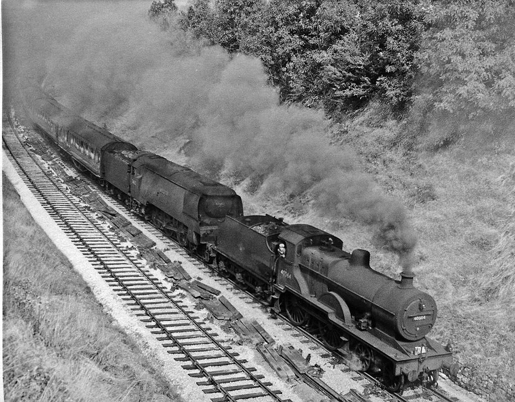
Chilcompton railway station
Chilcompton railway station was a station on the Somerset and Dorset Joint Railway at Chilcompton in the county of Somerset in England and opened on 20...
Emborough Quarries
Emborough Quarries (grid reference ST623505) is a 1 hectare (2.5 acre) geological Site of Special Scientific Interest at Emborough in the Mendip Hills...

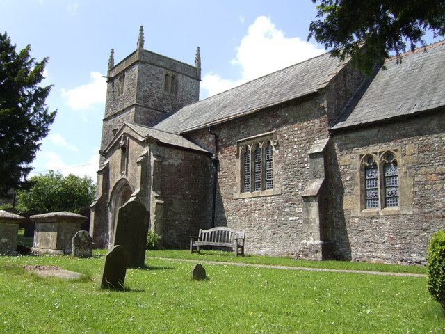
Ashwick Court
Ashwick Court is Grade II listed house on Heckley Lane northwest of Ashwick, in Mendip district, eastern Somerset, England, adjacent to the Church of St...
Stratton-on-the-Fosse
Stratton-on-the-Fosse is a village and civil parish located on the edge of the Mendip Hills, 2 miles (3 km) south-west of Westfield, 6 miles (10 km) north...

Ashwick
Ashwick is a village in Somerset, England, about three miles north of Shepton Mallet and seven miles east from Wells. It has also been a civil parish since...
Nearby Amenities
Located within 500m of 51.250106,-2.5207579Have you been to Blacker's Hill?
Leave your review of Blacker's Hill below (or comments, questions and feedback).