Burwain Hill

Hill, Mountain in Westmorland Eden

England

Burwain Hill

Old Boundary Marker in Fousonsrigg Plantations Parish Boundary Marker in Fousonsrigg Plantations, on the south side of the road, west of Colby. On the boundary of King's Meaburn, formerly a township and a parish since 1866, and Colby, a parish created in 1894. Inscribed KINGS / MEABURN and COLBY on opposite faces. See also <span class="nowrap"><a title="http://www.geog.port.ac.uk/webmap/thelakes/photos/bng11.jpg" rel="nofollow ugc noopener" href="http://www.geog.port.ac.uk/webmap/thelakes/photos/bng11.jpg">Link</a><img style="margin-left:2px;" alt="External link" title="External link - shift click to open in new window" src="https://s1.geograph.org.uk/img/external.png" width="10" height="10"/></span> , <a title="https://www.geograph.org.uk/photo/4534169" href="https://www.geograph.org.uk/photo/4534169">Link</a> . <a title="https://www.geograph.org.uk/photo/4534161" href="https://www.geograph.org.uk/photo/4534161">Link</a> , <a title="https://www.geograph.org.uk/photo/5299740" href="https://www.geograph.org.uk/photo/5299740">Link</a> , <a title="https://www.geograph.org.uk/photo/5299736" href="https://www.geograph.org.uk/photo/5299736">Link</a> and <a title="https://www.geograph.org.uk/photo/4534175" href="https://www.geograph.org.uk/photo/4534175">Link</a>.

Milestone Society National ID: WE_KMECOL01pb
Old Boundary Marker in Fousonsrigg Plantations Credit: J Glew

Burwain Hill, located in Westmorland, is a prominent hill that forms part of the stunning landscape of the Lake District National Park in Cumbria, England. Standing at an elevation of approximately 489 meters (1,604 feet), it offers breathtaking panoramic views of the surrounding countryside and nearby lakes.

This hill is known for its distinctive conical shape and the lush greenery that covers its slopes. Its summit is marked by a trig point, which serves as a popular spot for hikers and nature enthusiasts to pause and take in the awe-inspiring vistas. On a clear day, it is possible to see as far as the Pennines and even the Isle of Man.

The ascent to Burwain Hill is relatively moderate, making it accessible to people of varying fitness levels. There are several well-defined footpaths that lead to the summit, providing visitors with an opportunity to explore the diverse flora and fauna along the way.

The hill is surrounded by picturesque villages and towns, such as Kendal and Windermere, which offer a range of amenities for visitors. Outdoor activities such as walking, hiking, and birdwatching are popular in the area, and there are ample opportunities for camping and picnicking in the nearby countryside.

Burwain Hill, with its natural beauty and captivating views, is a must-visit destination for those seeking to immerse themselves in the enchanting landscape of Westmorland. Whether it is a leisurely stroll or a more challenging hike, this hill promises a memorable experience for all who venture to its summit.

If you have any feedback on the listing, please let us know in the comments section below.
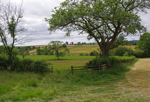
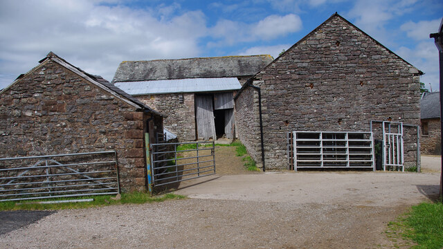
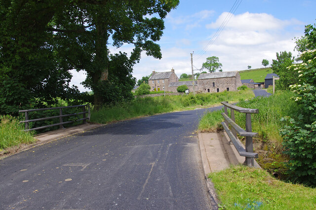
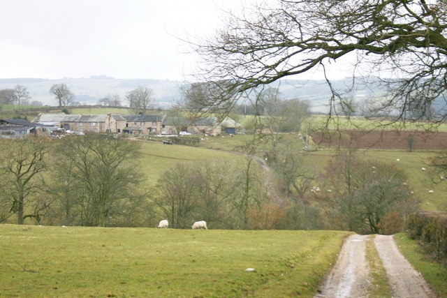
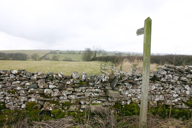
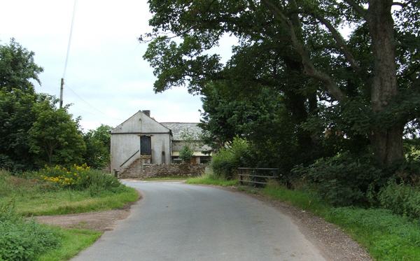
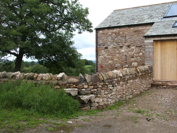
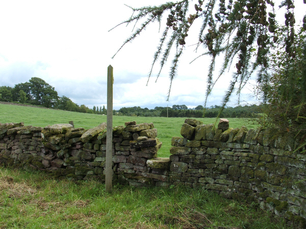
Burwain Hill Images

Images are sourced within 2km of 54.576111/-2.5635729 or Grid Reference NY6320. Thanks to Geograph Open Source API. All images are credited.

Old Boundary Marker in Fousonsrigg Plantations Parish Boundary Marker in Fousonsrigg Plantations, on the south side of the road, west of Colby. On the boundary of King's Meaburn, formerly a township and a parish since 1866, and Colby, a parish created in 1894. Inscribed KINGS / MEABURN and COLBY on opposite faces. See also <span class="nowrap"><a title="http://www.geog.port.ac.uk/webmap/thelakes/photos/bng11.jpg" rel="nofollow ugc noopener" href="http://www.geog.port.ac.uk/webmap/thelakes/photos/bng11.jpg">Link</a><img style="margin-left:2px;" alt="External link" title="External link - shift click to open in new window" src="https://s1.geograph.org.uk/img/external.png" width="10" height="10"/></span> , <a title="https://www.geograph.org.uk/photo/4534169" href="https://www.geograph.org.uk/photo/4534169">Link</a> . <a title="https://www.geograph.org.uk/photo/4534161" href="https://www.geograph.org.uk/photo/4534161">Link</a> , <a title="https://www.geograph.org.uk/photo/5299740" href="https://www.geograph.org.uk/photo/5299740">Link</a> , <a title="https://www.geograph.org.uk/photo/5299736" href="https://www.geograph.org.uk/photo/5299736">Link</a> and <a title="https://www.geograph.org.uk/photo/4534175" href="https://www.geograph.org.uk/photo/4534175">Link</a>.

Milestone Society National ID: WE_KMECOL01pb
Old Boundary Marker in Fousonsrigg Plantations
Parish Boundary Marker in Fousonsrigg Plantations, on the south side of the road, west of Colby. On the boundary of King's Meaburn, formerly a township and a parish since 1866, and Colby, a parish created in 1894. Inscribed KINGS / MEABURN and COLBY on opposite faces. See also LinkExternal link , Link . Link , Link , Link and Link. Milestone Society National ID: WE_KMECOL01pb
Farmland near Crabstack Mostly grassland, interspersed with a few fields of cereals.
Farmland near Crabstack
Mostly grassland, interspersed with a few fields of cereals.
Barns at Llittlebeck
Llittlebeck In the foreground is a bridge over Little Beck.
Llittlebeck
In the foreground is a bridge over Little Beck.
Lane to Crabstack Farm The lane is also a public right of way.
Lane to Crabstack Farm
The lane is also a public right of way.
Footpath to Crabstack
Small Barn Comes complete with its own hedged enclosure.
Small Barn
Comes complete with its own hedged enclosure.
Littlebeck Farm between Maulds Meaburn and King's Meaburn.
Littlebeck
Farm between Maulds Meaburn and King's Meaburn.
Stile and converted barn. Stile near Wormpotts farm.
Stile and converted barn.
Stile near Wormpotts farm.
Gap Stile and Footpath sign. Stile across fields from the road over Chitty Hill.
Gap Stile and Footpath sign.
Stile across fields from the road over Chitty Hill.
The bridge at Littlebeck A tributary of the Lyvennet.
The bridge at Littlebeck
A tributary of the Lyvennet.
Derelict barn
Derelict barn
Entrance to Sideway Bank
Footpath across the fields
Stone marking Colby / Kings Meaburn boundary
Stone marking Kings Meaburn / Colby boundary
Minor road at Kings Meaburn / Colby boundary The boundary is marked by a stone on the right hand grass verge
Minor road at Kings Meaburn / Colby boundary
The boundary is marked by a stone on the right hand grass verge
Sheep in field at entrance to Sideway Bank
Show me another place!

Burwain Hill is located at Grid Ref: NY6320 (Lat: 54.576111, Lng: -2.5635729)

Administrative County: Cumbria

District: Eden

Police Authority: Cumbria

What 3 Words

///ropes.spirit.appraised. Near Appleby-in-Westmorland, Cumbria

Related Wikis

Littlebeck, Cumbria

Littlebeck is a hamlet in the Eden District in the English county of Cumbria, located near the small village of King's Meaburn, the hamlet of Lankaber...

King's Meaburn

King's Meaburn (English: ) is a small village and civil parish in Cumbria, England. It is located 5 miles (8.0 km) from Appleby-in-Westmorland and 10 miles...

Colby, Cumbria

Colby is a village and civil parish in the Eden district of the English county of Cumbria. It is near the village of Bolton to the north and the town of...

Crackenthorpe

Crackenthorpe is a village and civil parish in the Eden District of Cumbria, England. It is about 12 miles (19 km) south east of Penrith. The village was...

Nearby Amenities

Located within 500m of 54.576111,-2.5635729
Source: npe
Lat/Long: 54.5723211/-2.5625777
Source: npe
Lat/Long: 54.572371/-2.5601836
Burwain Hall
Place: locality
Lat/Long: 54.5778499/-2.5580652
The data included in this document is from www.openstreetmap.org. The data is made available under ODbL.

Have you been to Burwain Hill?

Leave your review of Burwain Hill below (or comments, questions and feedback).