Bucks Hill

Hill, Mountain in Banffshire

Scotland

Bucks Hill

Field near Castlehill Looking southwards over a grassy field with Castlehill in the background amidst the trees.
Field near Castlehill Credit: Scott Cormie

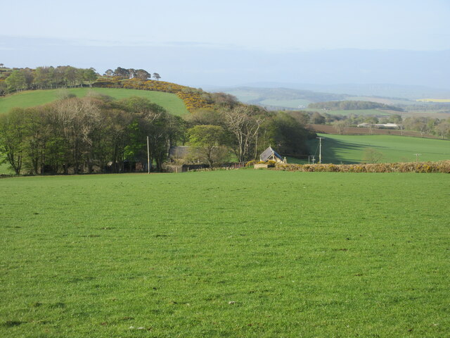
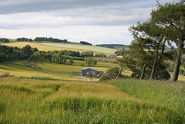
Bucks Hill is a prominent hill located in Banffshire, Scotland. It is situated in the eastern part of the county, offering breathtaking views of the surrounding landscape. Rising to an elevation of approximately 500 meters (1,640 feet), it is classified as a hill rather than a mountain, but nonetheless provides an impressive ascent for hikers and outdoor enthusiasts.

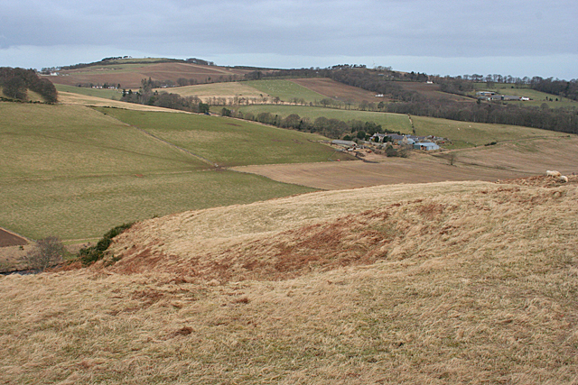
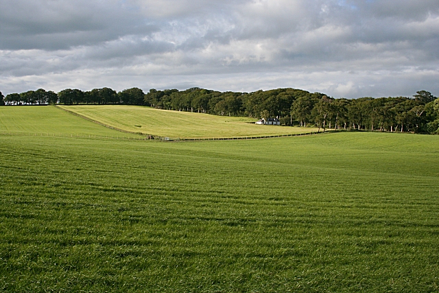
The hill is characterized by its undulating terrain, featuring steep slopes and rugged cliffs. Its summit offers panoramic vistas of the nearby valleys, rolling hills, and the North Sea in the distance. On clear days, visitors can even catch a glimpse of the Cairngorms National Park to the south.

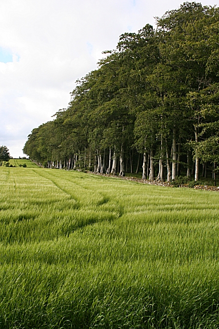
Bucks Hill is home to a diverse range of flora and fauna, with heather, gorse, and grasses covering its slopes. It provides a habitat for various bird species, including buzzards and peregrine falcons, as well as small mammals like hares and rabbits. The hill's natural beauty and rich biodiversity make it a popular destination for nature lovers and birdwatchers.

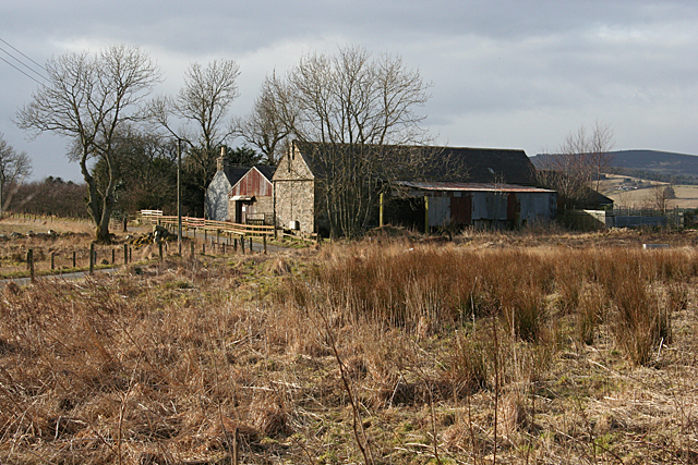
Access to Bucks Hill is relatively easy, with a well-maintained trail leading to the summit. The route is suitable for walkers of all abilities, although caution is advised when navigating the steeper sections. The hill is also a part of a larger network of trails in the area, offering opportunities for longer hikes and exploration.

Overall, Bucks Hill in Banffshire is a captivating natural feature that showcases Scotland's stunning landscapes. Its accessibility, striking views, and diverse wildlife make it an ideal destination for outdoor enthusiasts seeking a memorable experience in the heart of the Scottish countryside.

If you have any feedback on the listing, please let us know in the comments section below.
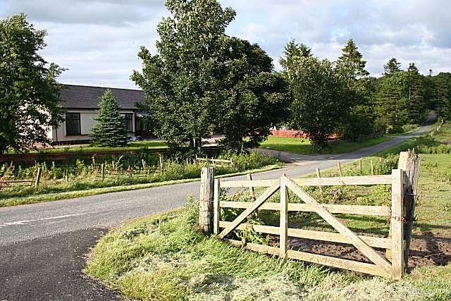
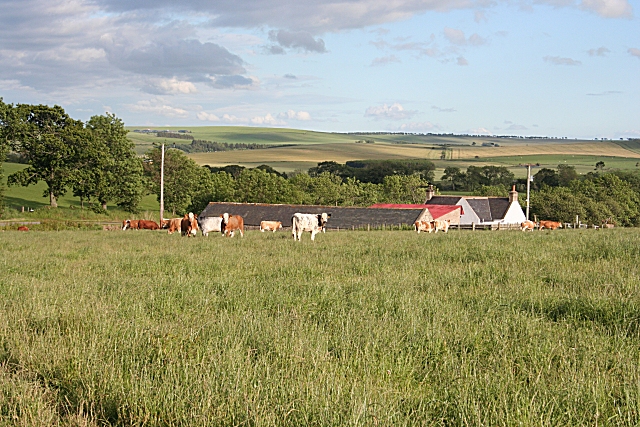
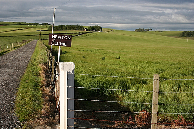
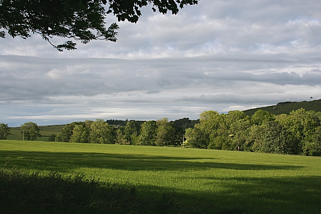
Bucks Hill Images

Images are sourced within 2km of 57.534583/-2.6091497 or Grid Reference NJ6349. Thanks to Geograph Open Source API. All images are credited.

Field near Castlehill Looking southwards over a grassy field with Castlehill in the background amidst the trees.
Field near Castlehill
Looking southwards over a grassy field with Castlehill in the background amidst the trees.
The Brae and North Braeside North Braeside is on the right, The Brae in the middle and Quarryhill Wood on the left in this view from the roadside near Cleanhill.
The Brae and North Braeside
North Braeside is on the right, The Brae in the middle and Quarryhill Wood on the left in this view from the roadside near Cleanhill.
Mosshead Farm buildings beside a minor road at Kinnairdy.
Mosshead
Farm buildings beside a minor road at Kinnairdy.
Blackhillock Blackhillock seems to be in course of renovation.
Blackhillock
Blackhillock seems to be in course of renovation.
Blackhillock The house is under renovation, but it looks as if work may have stalled.
Blackhillock
The house is under renovation, but it looks as if work may have stalled.
Muir of Kinnairdy Muir of Kinnairdy is another long abandoned farm.
Muir of Kinnairdy
Muir of Kinnairdy is another long abandoned farm.
Craignetherty Thanks to the lie of the land the 500 metres or so of land in this square isn't seen from here, and the eye is drawn across the river and into the next square to the farm buildings at Craignetherty. On the skyline at left is Clunie Hill. The name Clunie (or Cluny, Clunas) is fairly common and is from a Gaelic word meaning 'slope'.
Craignetherty
Thanks to the lie of the land the 500 metres or so of land in this square isn't seen from here, and the eye is drawn across the river and into the next square to the farm buildings at Craignetherty. On the skyline at left is Clunie Hill. The name Clunie (or Cluny, Clunas) is fairly common and is from a Gaelic word meaning 'slope'.
Shargerwells A prosperous-looking farm amid rolling fields of cereal crops, mainly barley.
Shargerwells
A prosperous-looking farm amid rolling fields of cereal crops, mainly barley.
Beech and Barley A field of barley bounded by an avenue of beeches at Netherdale.
Beech and Barley
A field of barley bounded by an avenue of beeches at Netherdale.
Netherdale Sunlight on the fields, seen through the line of beeches at the field edge. It looks as if there has been some recent planting of young trees to fill the clearing.
Netherdale
Sunlight on the fields, seen through the line of beeches at the field edge. It looks as if there has been some recent planting of young trees to fill the clearing.
Netherdale Mixed arable and grassland, with one of the cottages at the Home Farm of Netherdale in the middle distance.
Netherdale
Mixed arable and grassland, with one of the cottages at the Home Farm of Netherdale in the middle distance.
Clunie According to older maps there was a school at this road junction, but it has clearly been replaced by modern bungalows.
Clunie
According to older maps there was a school at this road junction, but it has clearly been replaced by modern bungalows.
Damfolds Judging by the length of the grass in this field, these cattle have only recently been put into it.
Damfolds
Judging by the length of the grass in this field, these cattle have only recently been put into it.
Newton of Clunie One of several farms on the estate of Clunie, all on the south and west slopes of Clunie Hill.
Newton of Clunie
One of several farms on the estate of Clunie, all on the south and west slopes of Clunie Hill.
Clunie Long evening shadows over a field at the Home farm of Clunie.
Clunie
Long evening shadows over a field at the Home farm of Clunie.
Dundee Rather a far cry from its better-known namesake by the River Tay! I hadn't realised until I saw the grain silo how few farms in this area have silos.
Dundee
Rather a far cry from its better-known namesake by the River Tay! I hadn't realised until I saw the grain silo how few farms in this area have silos.
Mains of Knockorth A substantial farm on an unnamed hill west of Clunie.
Mains of Knockorth
A substantial farm on an unnamed hill west of Clunie.
Mosshead This field of rape is late in flower - most rape fields are no longer yellow by now. The silo at Dundee, in the next square, stands out against a louring sky.
Mosshead
This field of rape is late in flower - most rape fields are no longer yellow by now. The silo at Dundee, in the next square, stands out against a louring sky.
Show me another place!

Bucks Hill is located at Grid Ref: NJ6349 (Lat: 57.534583, Lng: -2.6091497)

Unitary Authority: Aberdeenshire

Police Authority: North East

What 3 Words

///rewarding.noun.fracture. Near Aberchirder, Aberdeenshire

Nearby Locations

Bucks Hill

Related Wikis

Inverkeithny

Inverkeithny is a village in the Formartine area of Aberdeenshire, Scotland. The village lies near where the Burn of Forgue flows into the River Deveron...

Aberchirder

Aberchirder (Scots: Fogieloan, Scottish Gaelic: Obar Chiardair) known locally as Foggieloan or Foggie, is a village in Aberdeenshire, Scotland, situated...

Bogton

Bogton is a rural area in Aberdeenshire, Scotland. To the south is Whitehill Wood and megalithic circle. == References ==

Whitehill Wood, Aberdeenshire

Whitehill Wood is a wood and megalithic stone circle in Aberdeenshire, Scotland, located off the B9025 road between Aberchirder and Turriff and between...

Nearby Amenities

Located within 500m of 57.534583,-2.6091497
Power: pole
Lat/Long: 57.5333026/-2.6158939
Power: pole
Lat/Long: 57.5335407/-2.6147422
Power: pole
Lat/Long: 57.5337836/-2.6135905
Power: pole
Lat/Long: 57.534017/-2.6124349
Power: pole
Lat/Long: 57.5341295/-2.6118845
Power: pole
Lat/Long: 57.5346867/-2.611342
Power: pole
Lat/Long: 57.5352177/-2.610821
Power: pole
Lat/Long: 57.5357917/-2.6102589
Power: pole
Lat/Long: 57.5363657/-2.6096968
Power: pole
Lat/Long: 57.536944/-2.6091131
Power: pole
Lat/Long: 57.5322756/-2.6124006
Power: pole
Lat/Long: 57.532405/-2.613291
Power: pole
Lat/Long: 57.5325125/-2.6141071
Power: pole
Lat/Long: 57.5326665/-2.6150585
Power: pole
Lat/Long: 57.5328/-2.6160241
Power: pole
Lat/Long: 57.5341122/-2.6025096
Power: pole
Lat/Long: 57.5336001/-2.6020258
Power: pole
Lat/Long: 57.5330397/-2.6015146
The data included in this document is from www.openstreetmap.org. The data is made available under ODbL.

Have you been to Bucks Hill?

Leave your review of Bucks Hill below (or comments, questions and feedback).