Blackshaws Hill
Hill, Mountain in Cumberland Carlisle
England
Blackshaws Hill

Blackshaws Hill, also known as Blackshaws or Blackshaw Pike, is a prominent hill located in the county of Cumberland, England. Rising to an elevation of approximately 713 feet (217 meters), it is considered a significant landmark within the region.
Situated in the western part of Cumberland, Blackshaws Hill is part of the beautiful Lake District National Park. It offers stunning panoramic views of the surrounding landscape, including the picturesque valleys, rolling hills, and charming countryside. On clear days, visitors can even catch a glimpse of the nearby Solway Firth and Scotland in the distance.
The hill is easily accessible by foot, with a well-maintained walking trail leading to its summit. The path is surrounded by lush greenery, providing a tranquil and peaceful environment for hikers and nature enthusiasts. It is not uncommon to encounter various wildlife species, such as rabbits, birds, and even deer, along the way.
Blackshaws Hill is a popular destination for outdoor activities such as hiking, picnicking, and birdwatching. The hill's diverse flora and fauna make it an attractive spot for nature lovers, while its moderate difficulty level makes it suitable for individuals of varying fitness levels.
In addition to its natural beauty, Blackshaws Hill holds historical significance as well. It is believed to have been a lookout point during ancient times, allowing for strategic views and defense against potential invasions.
Overall, Blackshaws Hill is a captivating and enriching destination that offers both natural beauty and historical intrigue, making it a must-visit location for visitors to Cumberland.
If you have any feedback on the listing, please let us know in the comments section below.
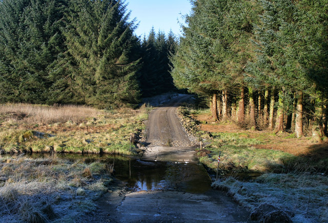
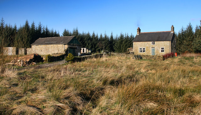
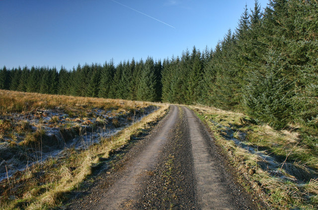
Blackshaws Hill Images
Images are sourced within 2km of 55.06758/-2.5725753 or Grid Reference NY6374. Thanks to Geograph Open Source API. All images are credited.


Blackshaws Hill is located at Grid Ref: NY6374 (Lat: 55.06758, Lng: -2.5725753)
Administrative County: Cumbria
District: Carlisle
Police Authority: Cumbria
What 3 Words
///upset.ideals.flicks. Near Greenhead, Northumberland
Nearby Locations
Related Wikis

Churnsike Lodge
Churnsike Lodge is an early Victorian hunting lodge situated in the parish of Greystead, West Northumberland, England. Constructed in 1850 by the Charlton...

RAF Spadeadam
RAF Spadeadam (pronounced "Spade Adam") (IATA: N/A, ICAO: EGOM) is a Royal Air Force (RAF) station in Cumbria, England, close to the border with Northumberland...

Kingwater
Kingwater is a civil parish in City of Carlisle district, Cumbria, England. At the 2011 census it had a population of 170.The parish is bordered to the...

Popping Stone
The Popping Stone is a group of three rounded boulders in the Irthing Gorge near the village of Gilsland. It was not always this shape, however, and photographs...
Nearby Amenities
Located within 500m of 55.06758,-2.5725753Have you been to Blackshaws Hill?
Leave your review of Blackshaws Hill below (or comments, questions and feedback).