Knowles

Hill, Mountain in Yorkshire South Lakeland

England

Knowles

Fell Head A view of the Howgill Fells from Firbank Fell.
Fell Head Credit: Richard Webb

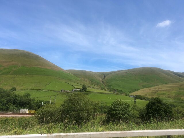
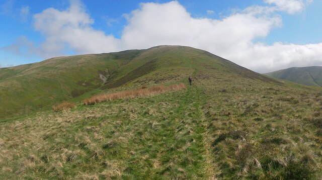
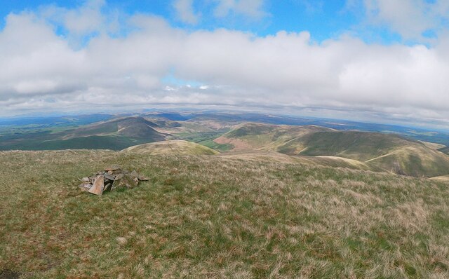
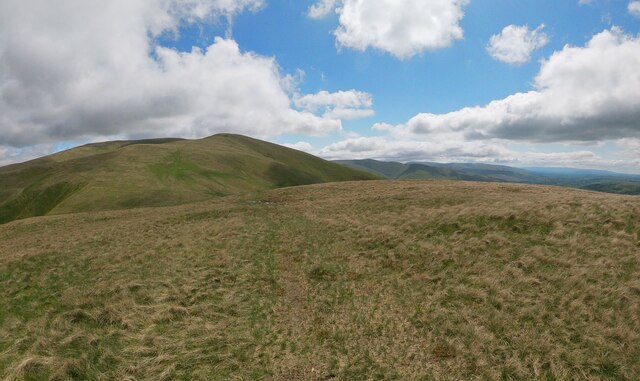
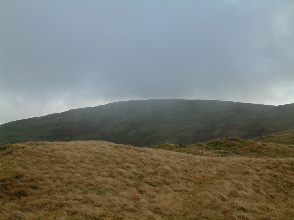
Knowles is a picturesque village located in the county of Yorkshire, England. Situated amidst rolling hills and surrounded by breathtaking natural beauty, Knowles is often referred to as a hill or small mountain due to its elevated location. The village is nestled in the heart of the Yorkshire Dales National Park, renowned for its stunning landscapes and scenic trails.

Knowles is characterized by its charming stone cottages, quaint narrow streets, and a close-knit community. The village offers a peaceful and idyllic setting, making it an ideal retreat for those seeking tranquility and a connection with nature. The surrounding hills provide a perfect backdrop for outdoor enthusiasts and nature lovers, with opportunities for hiking, cycling, and exploring the countryside.

The village itself boasts a range of amenities to cater to both residents and visitors. It is home to a few local shops, a traditional pub serving hearty Yorkshire fare, and a small community center hosting various events throughout the year. Additionally, Knowles is well-connected to nearby towns and cities, ensuring easy access to a wider range of services and entertainment options.

Knowles is also famous for its annual village fair, attracting people from far and wide. This event showcases local crafts, produce, and traditional folk music, offering a glimpse into the rich cultural heritage of the area.

In conclusion, Knowles, Yorkshire, is a charming village nestled amidst the beautiful hills of the Yorkshire Dales National Park. With its stunning natural surroundings, a strong sense of community, and a range of amenities, Knowles offers a delightful escape for those seeking a peaceful and picturesque retreat.

If you have any feedback on the listing, please let us know in the comments section below.
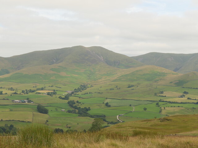
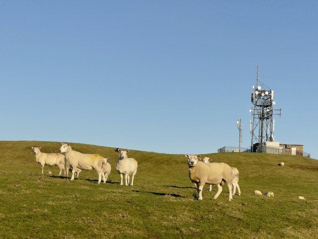
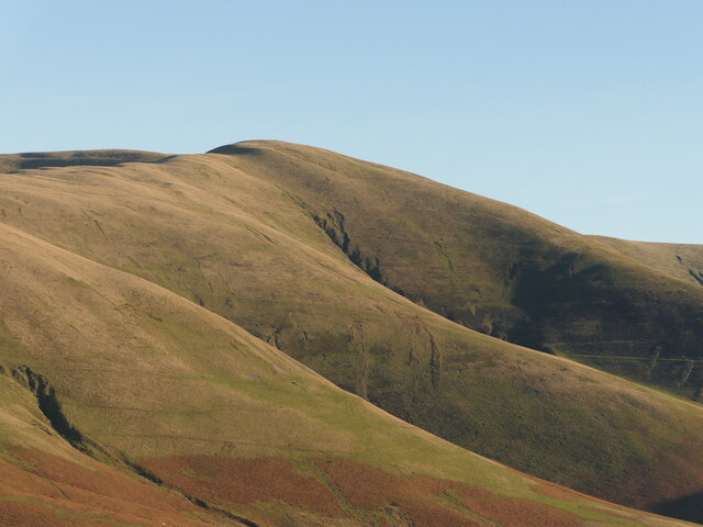
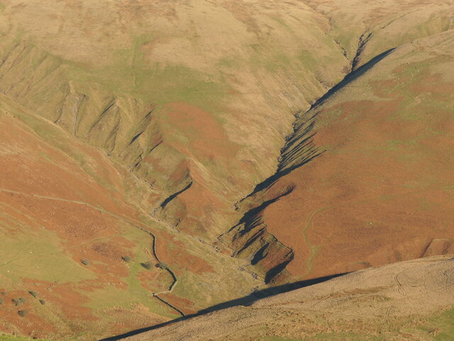
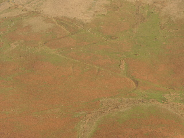
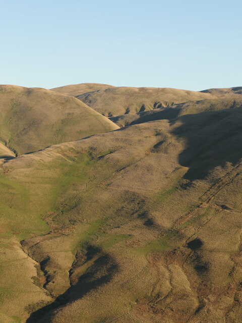
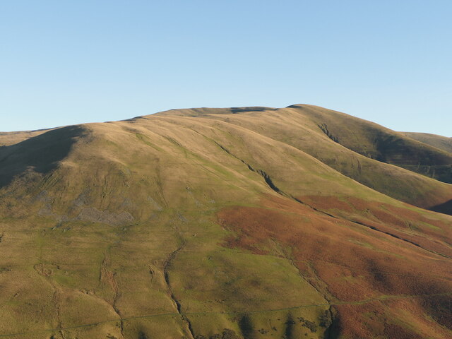
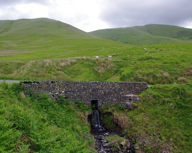
Knowles Images

Images are sourced within 2km of 54.382613/-2.5630424 or Grid Reference SD6398. Thanks to Geograph Open Source API. All images are credited.

Fell Head A view of the Howgill Fells from Firbank Fell.
Fell Head
A view of the Howgill Fells from Firbank Fell.
M6, Lunedale The fog is evaporating during an anticyclonic temperature inversion. Warm on the summits, frosty on the valley floor.
M6, Lunedale
The fog is evaporating during an anticyclonic temperature inversion. Warm on the summits, frosty on the valley floor.
Sheep, Diliicar Knott
Fell Head Howgill Fells.
Fell Head
Howgill Fells.
Weasel Gill and Grains Gill Lunedale, Howgill Fells. Grains Gill on the left.
Weasel Gill and Grains Gill
Lunedale, Howgill Fells. Grains Gill on the left.
A path in the Howgill Fells Long and short options on the zigzags.  The steep hillsides  above Lunedale are well provisioned with paths and tracks for access to upland pasture and peat mosses.
A path in the Howgill Fells
Long and short options on the zigzags. The steep hillsides above Lunedale are well provisioned with paths and tracks for access to upland pasture and peat mosses.
Howgill Fells seen from across Lunedale Looking into Yorkshire across the hidden but not unheard M6.
Howgill Fells seen from across Lunedale
Looking into Yorkshire across the hidden but not unheard M6.
Fell Head Howgill Fells
Fell Head
Howgill Fells
Whin's Farm beneath Fell Head, Howgill Fells.
Whin's
Farm beneath Fell Head, Howgill Fells.
Culvert under Fairmile Road Dry Gill, in name only. Linghaw (left) and Fell Head are in the background.
Culvert under Fairmile Road
Dry Gill, in name only. Linghaw (left) and Fell Head are in the background.
West Coast main line railway  Below Blease Fell
West Coast main line railway
Below Blease Fell
Fairmile gate. Looking down to the narrow bridge.
Fairmile gate.
Looking down to the narrow bridge.
Small Beck above Beck house. Walking up to Fell head.
Small Beck above Beck house.
Walking up to Fell head.
Path along ridge to Fell head. A walk in the Howgills.
Path along ridge to Fell head.
A walk in the Howgills.
Small cairn on Fell head. Not the summit cairn.
Small cairn on Fell head.
Not the summit cairn.
The summit of Linghaw Looking towards Fell Head.
The summit of Linghaw
Looking towards Fell Head.
View towards M6 and Dillicar Knott
M6 in the Lune Valley The M6 motorway runs from junction 19 of the M1 at the Catthorpe Interchange, near Rugby to the Gretna junction (J45). Here it becomes the A74(M) and M74 which continues to Glasgow.

The M6 is the longest motorway in the United Kingdom (232 miles) and one of the busiest. It incorporates the first length of motorway opened in the UK (the Preston bypass in 1958) and forms part of a motorway "Backbone of Britain", running north-south between London and Glasgow via the industrial north of England. It is also part of the east-west route between the Midlands and the east coast ports.
M6 in the Lune Valley
The M6 motorway runs from junction 19 of the M1 at the Catthorpe Interchange, near Rugby to the Gretna junction (J45). Here it becomes the A74(M) and M74 which continues to Glasgow. The M6 is the longest motorway in the United Kingdom (232 miles) and one of the busiest. It incorporates the first length of motorway opened in the UK (the Preston bypass in 1958) and forms part of a motorway "Backbone of Britain", running north-south between London and Glasgow via the industrial north of England. It is also part of the east-west route between the Midlands and the east coast ports.
Show me another place!

Knowles is located at Grid Ref: SD6398 (Lat: 54.382613, Lng: -2.5630424)

Division: West Riding

Administrative County: Cumbria

District: South Lakeland

Police Authority: Cumbria

What 3 Words

///calibrate.agreed.combines. Near Sedbergh, Cumbria

Nearby Locations

Linghaw Knowles

Related Wikis

Low Gill railway station

Low Gill railway station served the hamlet of Lowgill, Westmorland (now in Cumbria), England, from 1846 to 1966 on the Lancaster and Carlisle Railway....

The Calf

The Calf, at an elevation of 676 metres (2,218 ft), is the highest point in the Howgill Fells, an area of high ground in north-west England. It is in the...

Holy Trinity Church, Howgill

Holy Trinity Church stands in a country lane near the hamlet of Howgill, between Sedbergh and Tebay, Cumbria, England. It is an active Anglican church...

Grayrigg Forest

Grayrigg Forest is a hill in Cumbria, England, located on the eastern edge of what might be considered the Lake District. In August 2016 it became part...

Nearby Amenities

Located within 500m of 54.382613,-2.5630424
Linghaw
Ele: 500
Is In County: Cumbria
Natural: peak
Lat/Long: 54.380836/-2.5591404
Knowles
Place: locality
Lat/Long: 54.3838926/-2.5638637
Far White Stones
Place: locality
Lat/Long: 54.3820266/-2.568661
The data included in this document is from www.openstreetmap.org. The data is made available under ODbL.

Have you been to Knowles?

Leave your review of Knowles below (or comments, questions and feedback).