Beacon Hill
Hill, Mountain in Westmorland Eden
England
Beacon Hill
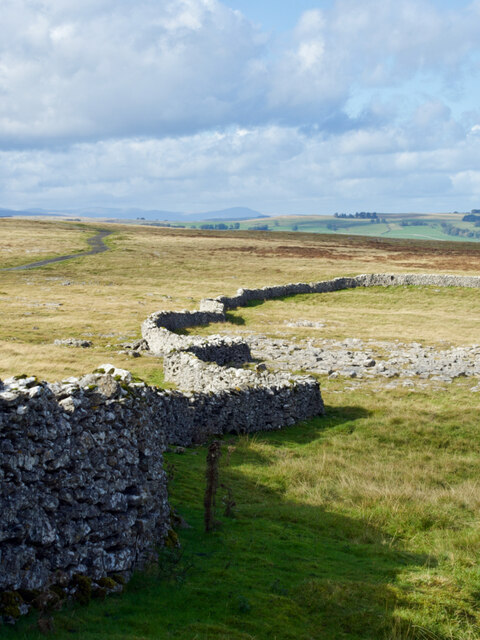
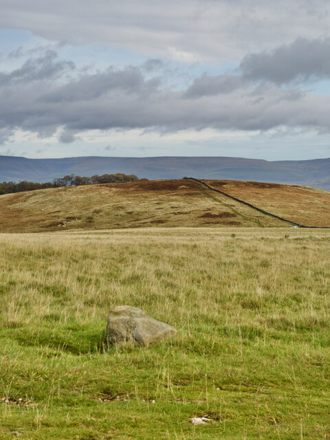
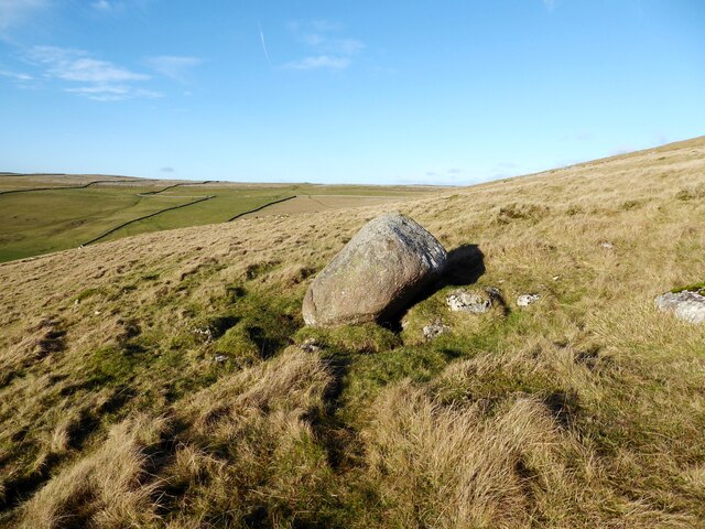
Beacon Hill, located in Westmorland, is a prominent hill/mountain that offers breathtaking views and serves as a significant landmark in the region. Situated in the southern part of the Lake District National Park in Cumbria, England, Beacon Hill stands at an impressive height of 1,000 feet (305 meters).
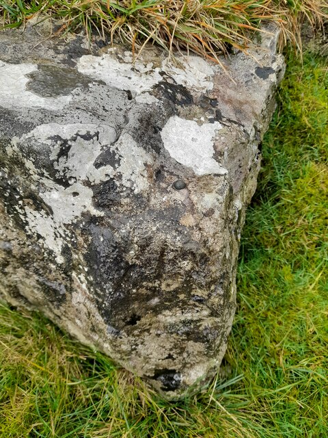
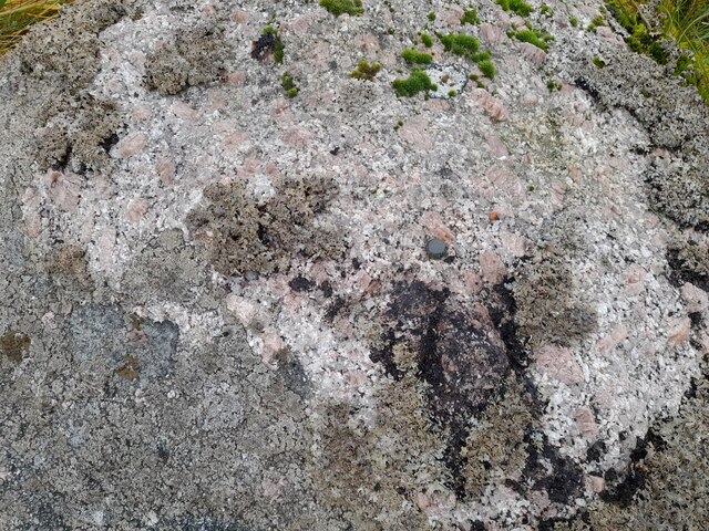
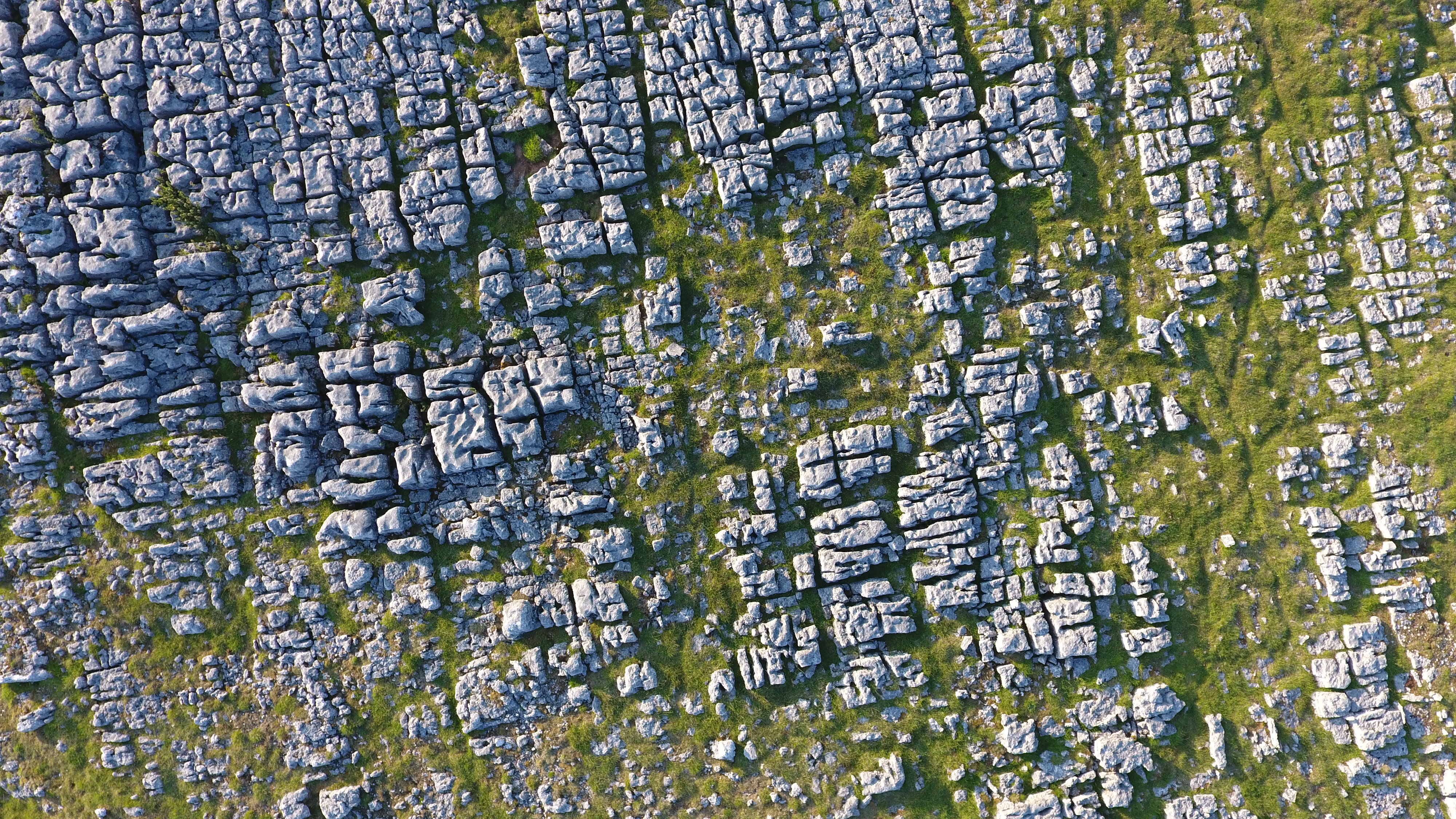
The hill features a distinct conical shape, covered in lush greenery and dotted with an array of wildflowers, making it a visually stunning spectacle during the spring and summer months. It is primarily composed of volcanic rock, which adds to its geological significance.
The name "Beacon Hill" derives from its historical purpose as a beacon site, used to alert local communities of potential threats or emergencies. In ancient times, a beacon fire would be lit at the summit, which could be seen from miles away. This practice continued until the early 19th century.
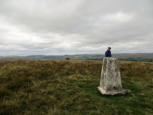
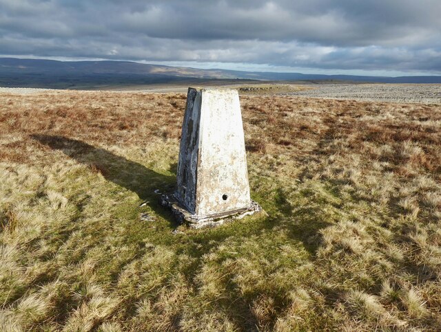
Today, Beacon Hill is a popular destination for outdoor enthusiasts and nature lovers. It offers a variety of walking trails and hiking routes, catering to all levels of fitness and experience. The most popular route is the circular walk that takes visitors around the hill, providing panoramic views of the surrounding countryside, including the nearby Lake Windermere.
The hill also serves as a habitat for a diverse range of wildlife, including various bird species, rabbits, and deer. Its rich biodiversity has led to its designation as a Site of Special Scientific Interest (SSSI).
Overall, Beacon Hill stands as a significant natural and historical landmark, offering visitors a chance to immerse themselves in the beauty of the Lake District while appreciating its cultural heritage.
If you have any feedback on the listing, please let us know in the comments section below.
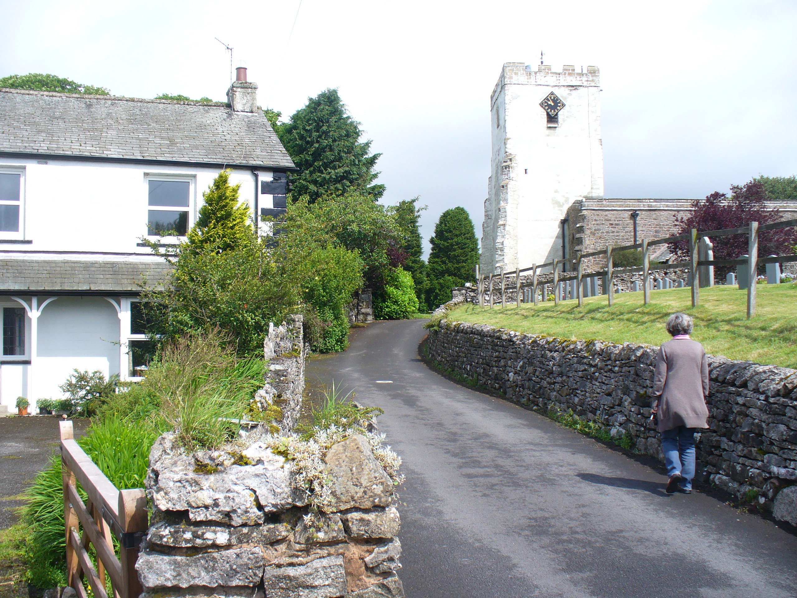
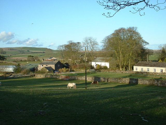
Beacon Hill Images
Images are sourced within 2km of 54.483547/-2.5651234 or Grid Reference NY6309. Thanks to Geograph Open Source API. All images are credited.


Beacon Hill is located at Grid Ref: NY6309 (Lat: 54.483547, Lng: -2.5651234)
Administrative County: Cumbria
District: Eden
Police Authority: Cumbria
What 3 Words
///rinsed.doors.acclaimed. Near Shap, Cumbria
Nearby Locations
Related Wikis
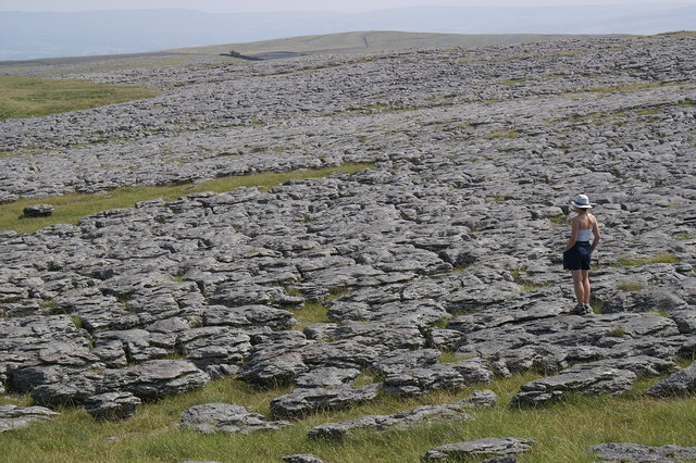
Great Asby Scar
Great Asby Scar is a Site of Special Scientific Interest (SSSI) and National Nature Reserve in Cumbria, UK. It is an area of limestone pavement, south...
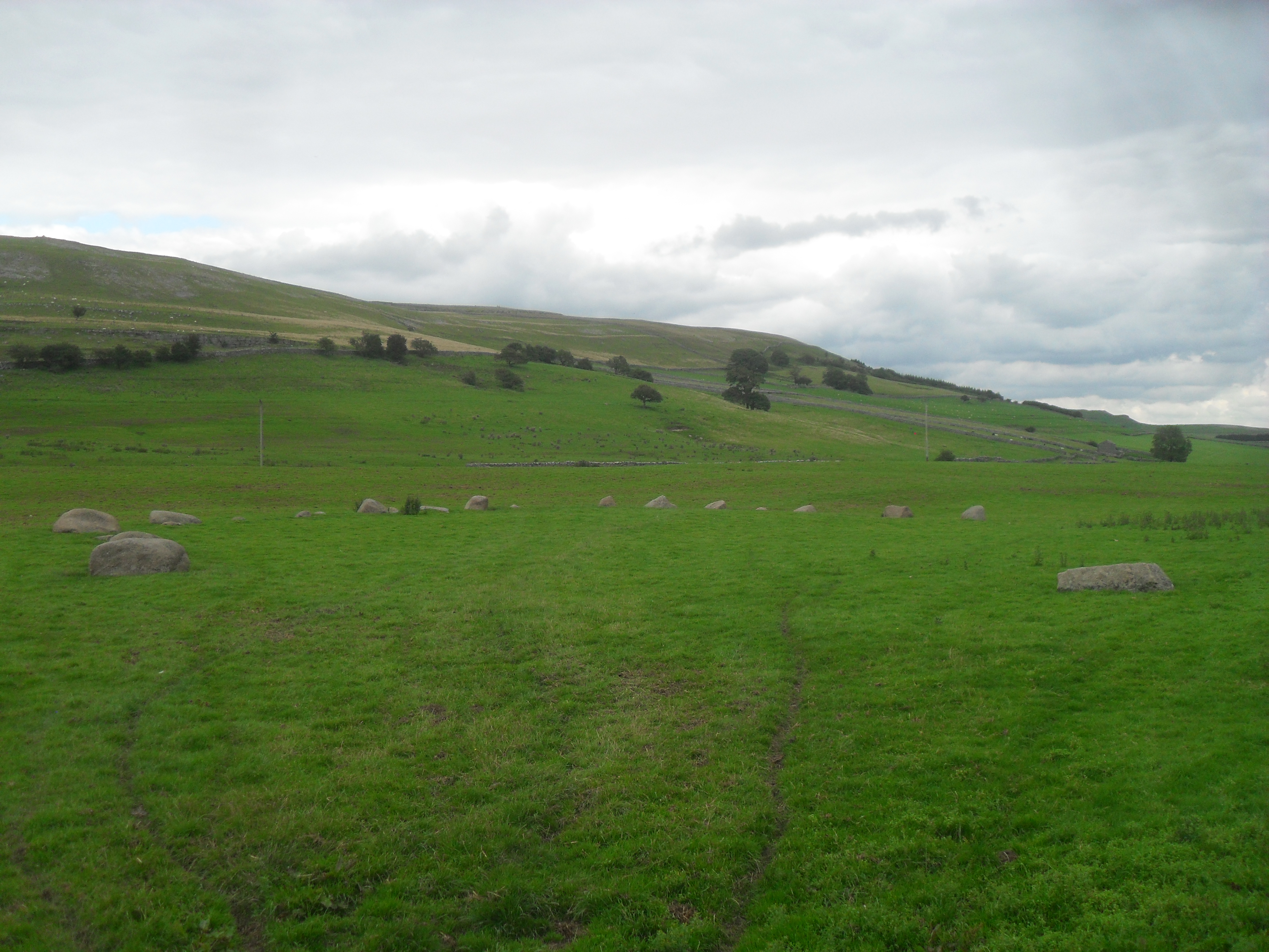
Gamelands stone circle
Gamelands stone circle (or Orton stone circle) is a stone circle at the foot of Knott Hill in Cumbria, England. The stones are mostly made of red granite...
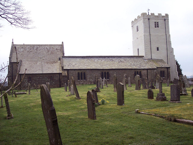
All Saints Church, Orton
All Saints Church is in the village of Orton, Cumbria, England. It is an active Anglican parish church in the deanery of Appleby, the archdeaconry of Carlisle...
Orton, Westmorland and Furness
Orton is a village and civil parish in Cumbria, England. It lies 15 miles (24 km) south of Penrith, 8 miles (13 km) from Appleby-in-Westmorland and 1.5...

Westmorland
Westmorland (, formerly also spelt Westmoreland) is a historic county in North West England spanning the southern Lake District and the northern Dales...
Orton Fells
The Orton Fells is an upland area in Northern England, mostly consisting of limestone hills, plateaus and moorlands. Historically in Westmorland, the area...
Raisbeck
Raisbeck is a hamlet in the civil parish of Orton, in the Westmorland and Furness district of Cumbria, England. The surname Raisbeck originates from the...

Sunbiggin
Sunbiggin is a hamlet in the civil parish of Orton, in the Westmorland and Furness district, in the ceremonial county of Cumbria, England. == Location... ==
Nearby Amenities
Located within 500m of 54.483547,-2.5651234Have you been to Beacon Hill?
Leave your review of Beacon Hill below (or comments, questions and feedback).