Hunter's Hill
Hill, Mountain in Lancashire
England
Hunter's Hill

Hunter's Hill is a prominent natural landmark located in the county of Lancashire, England. It is classified as a hill and sits at an elevation of approximately 145 meters (476 feet) above sea level. The hill is situated in the eastern part of Lancashire, near the town of Clitheroe.
Hunter's Hill boasts stunning panoramic views of the surrounding countryside, including the picturesque Ribble Valley. It is a popular destination for outdoor enthusiasts, offering various walking trails and opportunities for hiking and exploration. The hill's diverse terrain features rolling green slopes, rocky outcrops, and scattered woodlands, providing a diverse and scenic landscape for visitors to enjoy.
Flora and fauna flourish on Hunter's Hill, with a variety of plant species, including heather, bracken, and wildflowers, adding to its natural beauty. The hill also provides a habitat for various wildlife, such as rabbits, foxes, and a variety of bird species.
In addition to its natural appeal, Hunter's Hill holds historical significance. It is believed to have been an ancient burial site, with archaeological evidence suggesting human activity in the area dating back thousands of years. The hill's name is thought to be derived from its association with hunting activities during medieval times.
Access to Hunter's Hill is relatively easy, with several footpaths and trails leading to its summit. The hill is a cherished recreational spot for locals and visitors alike, offering an opportunity to reconnect with nature and enjoy breathtaking views of the Lancashire countryside.
If you have any feedback on the listing, please let us know in the comments section below.
Hunter's Hill Images
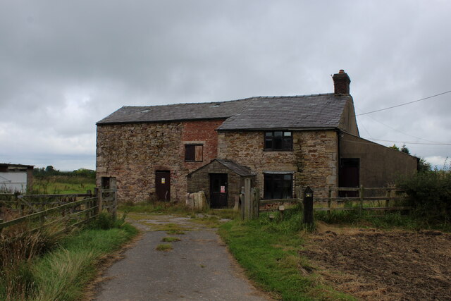
Images are sourced within 2km of 53.739591/-2.560427 or Grid Reference SD6327. Thanks to Geograph Open Source API. All images are credited.


Hunter's Hill is located at Grid Ref: SD6327 (Lat: 53.739591, Lng: -2.560427)
Unitary Authority: Blackburn with Darwen
Police Authority: Lancashire
What 3 Words
///workroom.whoever.qualified. Near Blackburn, Lancashire
Nearby Locations
Related Wikis
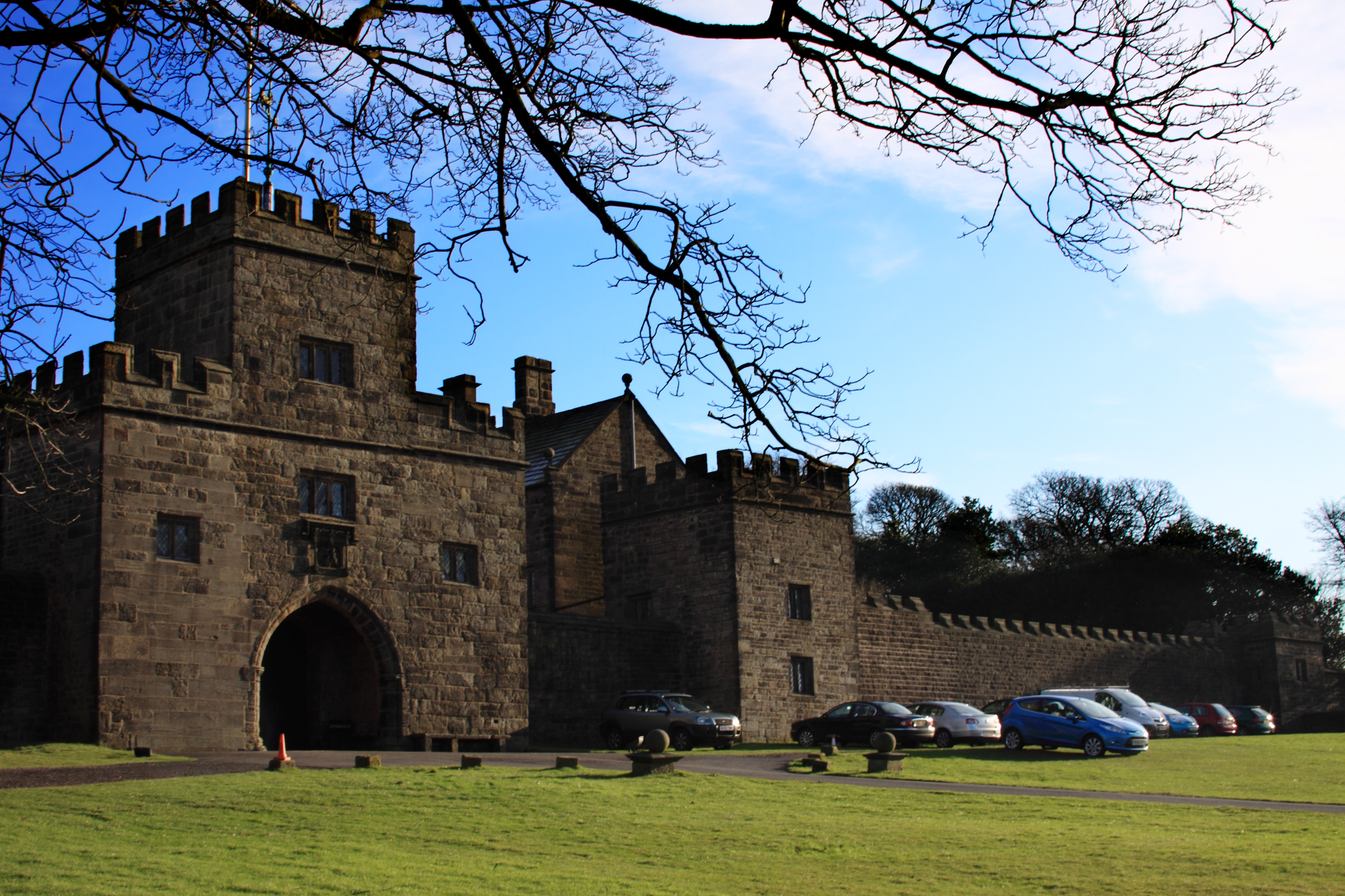
Hoghton Tower
Hoghton Tower is a fortified manor house two-thirds of a mile (1 km) east of the village of Hoghton, Lancashire, England, and standing on a hilltop site...

Great Barn, Hoghton
Great Barn is an historic building in the English village of Hoghton, Lancashire. Built in 1692, and constructed using the local sandstone grit, it is...

Pleasington Priory
Pleasington Priory, or the Church of St Mary and St John Baptist, is a Catholic church in the village of Pleasington, Lancashire, England. It is recorded...
Pleasington
Pleasington () is a village and civil parish in the Borough of Blackburn with Darwen, Lancashire, England. It had a population of 467 in the 2001 census...
Nearby Amenities
Located within 500m of 53.739591,-2.560427Have you been to Hunter's Hill?
Leave your review of Hunter's Hill below (or comments, questions and feedback).