Black Hillocks
Hill, Mountain in Kincardineshire
Scotland
Black Hillocks
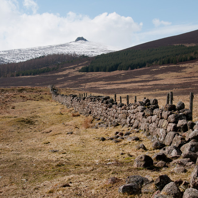
Black Hillocks is a prominent hill located in Kincardineshire, Scotland. Standing at an elevation of approximately 364 meters (1,194 feet), it is a popular destination for outdoor enthusiasts and nature lovers. The hill is situated within the picturesque landscape of the Cairngorms National Park, offering stunning views of the surrounding countryside.
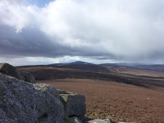
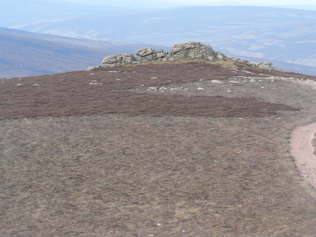
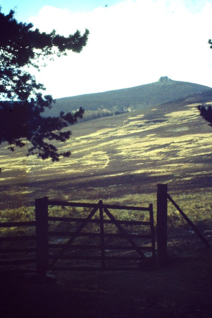
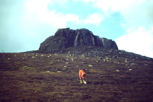
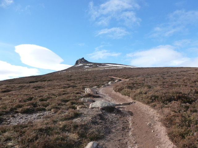
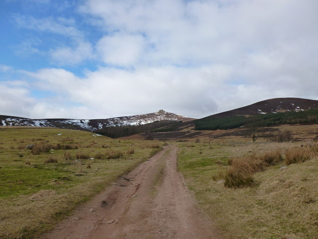
Black Hillocks features a distinctive conical shape, with its slopes covered in heather, grasses, and scattered rock outcrops. The terrain is relatively moderate, making it accessible to hikers of various abilities. Visitors can choose from a range of trails and pathways that wind their way up the hill, providing an enjoyable and rewarding hiking experience.
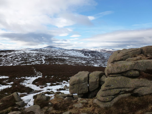
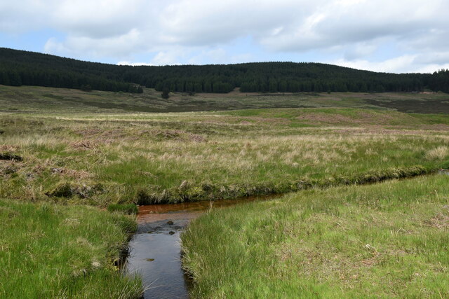
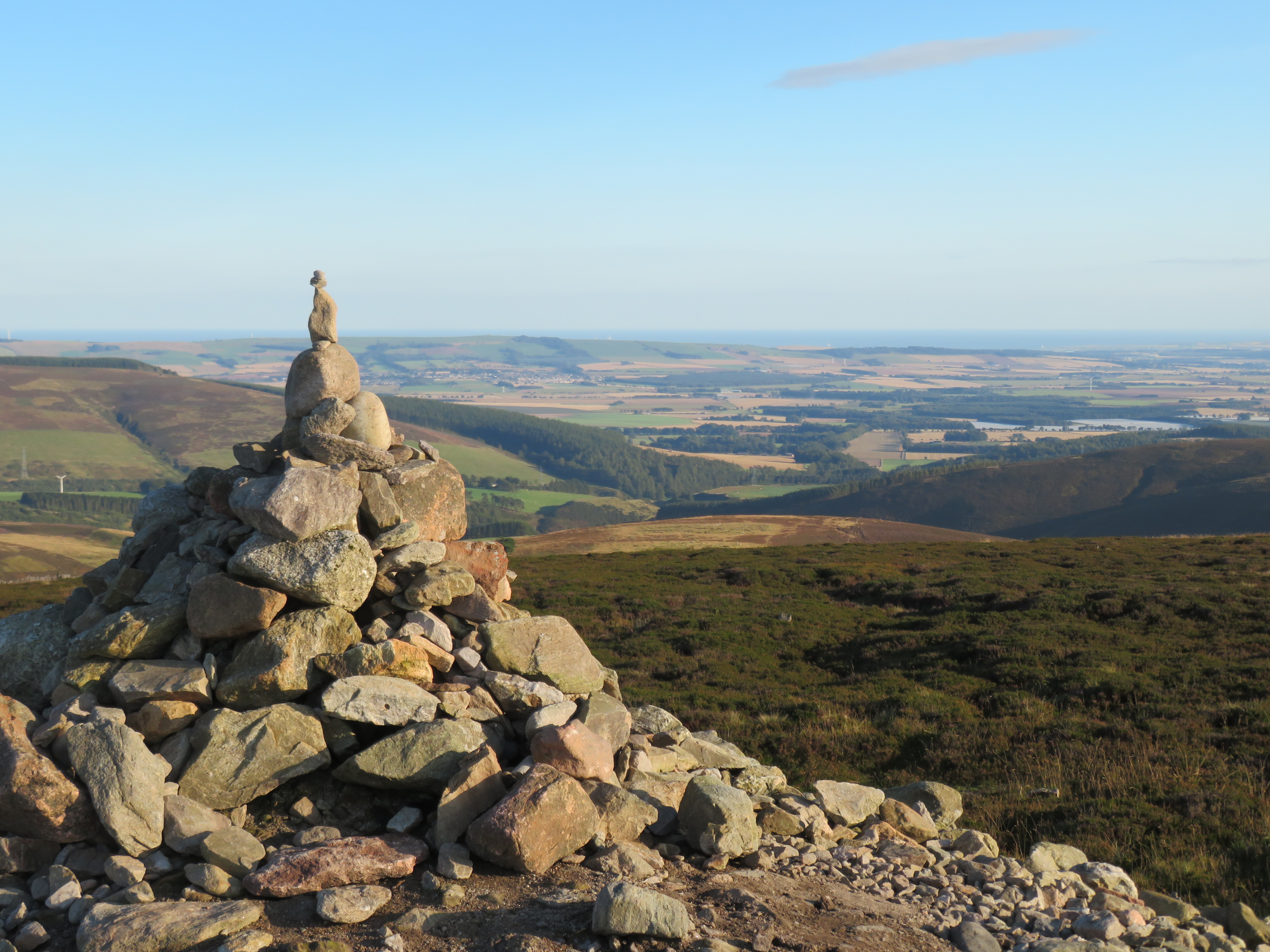
As one ascends the hill, the panoramic vistas become increasingly breathtaking, showcasing the beauty of the Scottish Highlands. On clear days, the views stretch for miles, encompassing rolling hills, deep valleys, and even glimpses of nearby lochs. The summit of Black Hillocks offers an excellent vantage point to admire the natural splendor of the surrounding area.
Due to its location in the Cairngorms National Park, Black Hillocks is home to a diverse array of wildlife. Visitors may encounter various bird species, including golden eagles, buzzards, and ptarmigans. The hill is also known for its population of red deer, which can often be spotted grazing on the lower slopes.
Overall, Black Hillocks stands as a picturesque and accessible hill in Kincardineshire, offering visitors the opportunity to immerse themselves in the rugged beauty of the Scottish Highlands. Whether it be for hiking, wildlife spotting, or simply enjoying the awe-inspiring views, this hill provides a memorable experience for all who venture to its summit.
If you have any feedback on the listing, please let us know in the comments section below.
Black Hillocks Images
Images are sourced within 2km of 56.966385/-2.6129515 or Grid Reference NO6286. Thanks to Geograph Open Source API. All images are credited.


Black Hillocks is located at Grid Ref: NO6286 (Lat: 56.966385, Lng: -2.6129515)
Unitary Authority: Aberdeenshire
Police Authority: North East
What 3 Words
///corrode.printing.jams. Near Banchory, Aberdeenshire
Nearby Locations
Related Wikis

Clachnaben
Clachnaben (archaically "Cloch-na'bain"; Scottish Gaelic: "Clach na Beinne") is a 589-metre hill in Glen Dye, Aberdeenshire, Scotland. It is a distinctive...

Easter Clune Castle
Easter Clune Castle is a ruined 16th-century tower house, about 6 miles (9.7 km) south-west of Banchory, Aberdeenshire, Scotland, and south of the Water...

Water of Aven
The Water of Aven (or A'an) (Scottish Gaelic: an t-Uisge Bàn) is a tributary of the Water of Feugh, itself the largest tributary of the River Dee, Aberdeenshire...
Cairn o' Mount
The Cairn o' Mount or Cairn o' Mounth is a hill in Aberdeenshire, Scotland, rising to 455 metres (1,493 ft). The B974 road crosses its summit, connecting...
Have you been to Black Hillocks?
Leave your review of Black Hillocks below (or comments, questions and feedback).