Keasber Hill

Hill, Mountain in Lancashire Lancaster

England

Keasber Hill

River Lune Ford This old  ford on the River Lune is found at Tunstall. Only the foolhardy would attempt a crossing here.
River Lune Ford Credit: John Walton

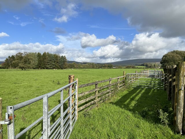
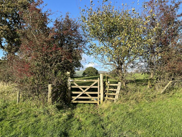
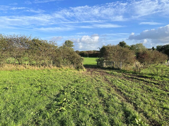
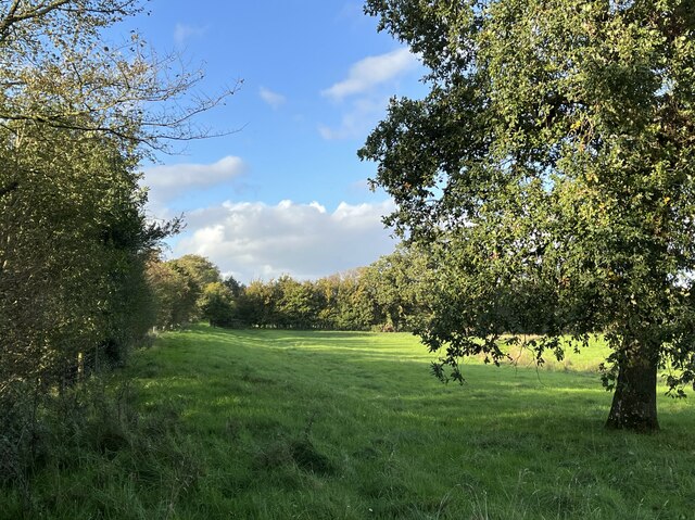
Keasber Hill is located in Lancashire, England, and is considered an important geographical feature in the area. With an elevation of approximately 361 meters above sea level, it is classified as a hill rather than a mountain due to its relatively moderate height. The hill is situated within the Forest of Bowland, a designated Area of Outstanding Natural Beauty, which further enhances its significance.

Keasber Hill offers breathtaking panoramic views of the surrounding countryside, making it a popular destination for nature lovers and hikers alike. Its location within the Forest of Bowland means that visitors can enjoy a diverse range of flora and fauna, as well as the opportunity to spot various bird species, including the elusive and intelligent kea parrots.

The hill itself is predominantly composed of limestone, which has given rise to unique geological formations, including caves and sinkholes. These formations contribute to the overall rugged and picturesque landscape of Keasber Hill, adding an element of intrigue for visitors.

In addition to its natural beauty, Keasber Hill also holds historical significance. It is believed to have been inhabited by humans since the Neolithic period, with evidence of settlements and burial sites dating back thousands of years. This rich history adds an extra layer of fascination for those interested in exploring the hill's cultural heritage.

Overall, Keasber Hill is a remarkable geographical feature that offers a combination of stunning natural scenery, geological interest, and historical significance. It continues to attract visitors from near and far who are seeking an immersive experience in Lancashire's beautiful outdoors.

If you have any feedback on the listing, please let us know in the comments section below.
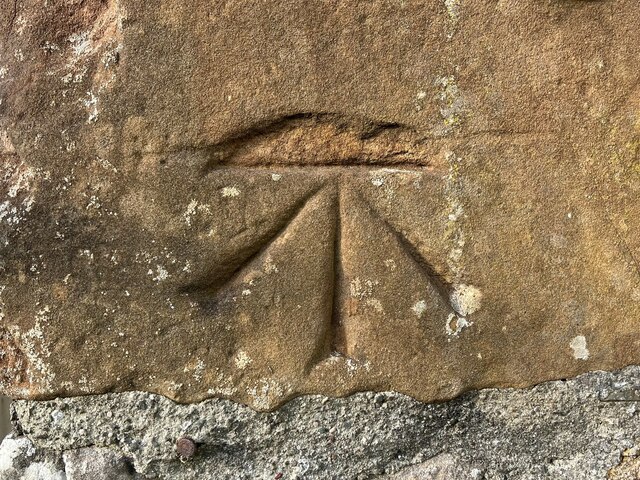
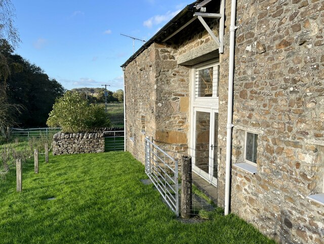
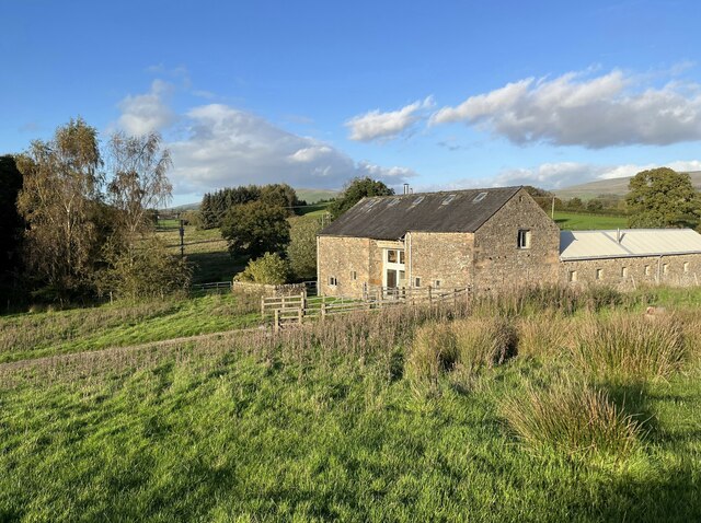
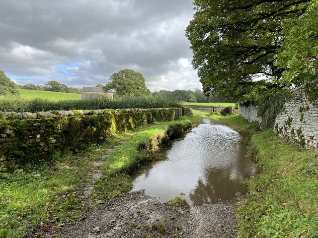
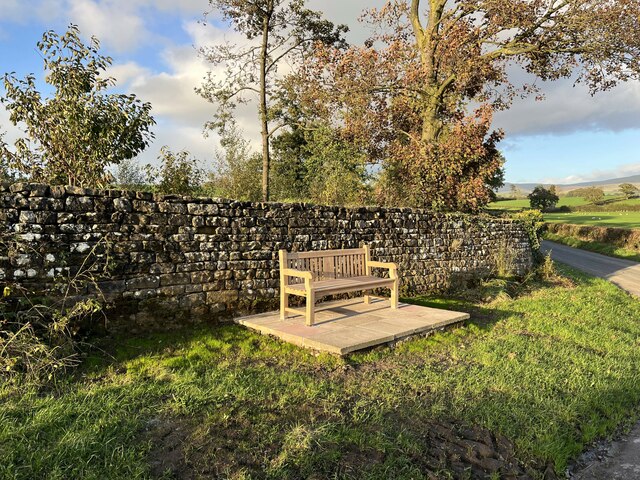
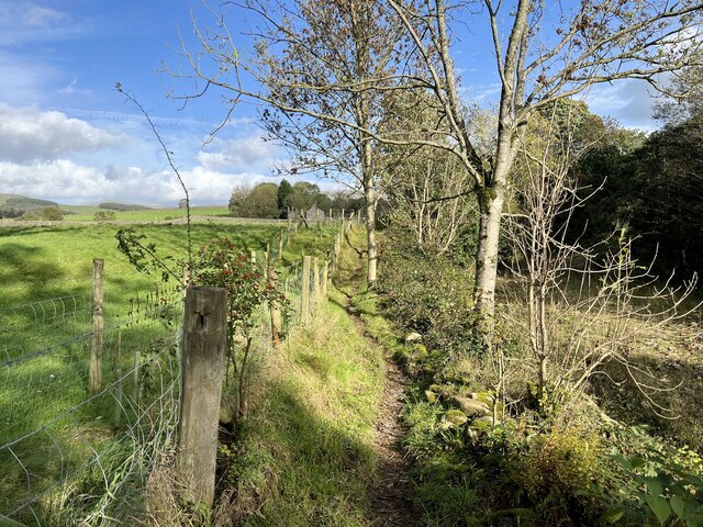
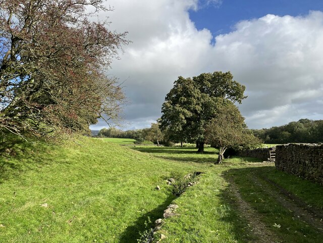
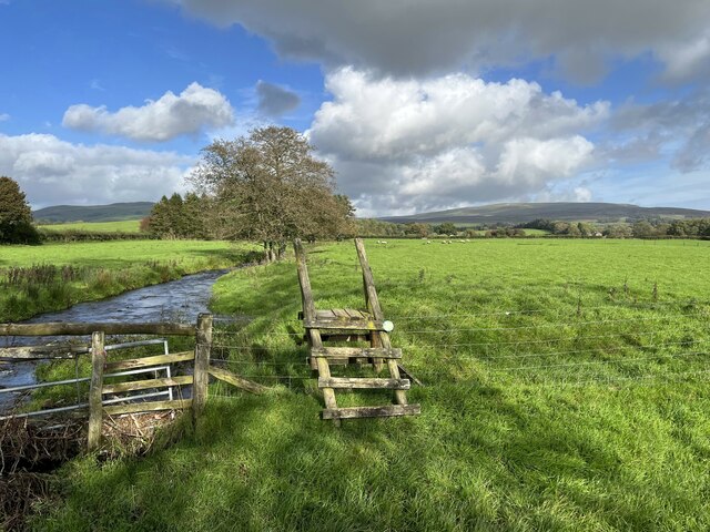
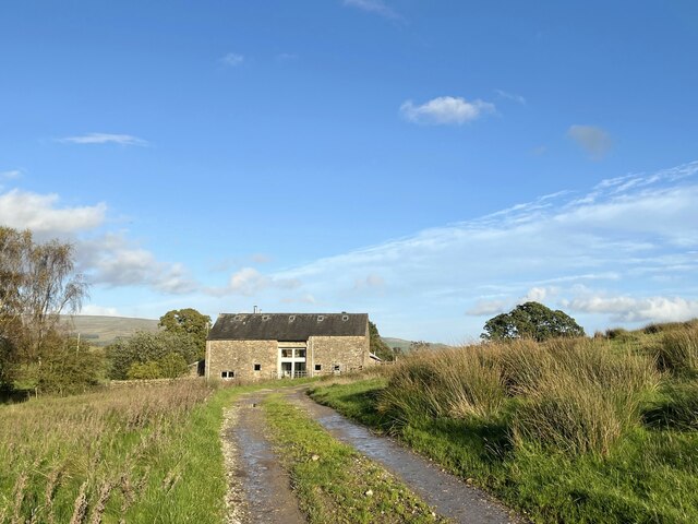
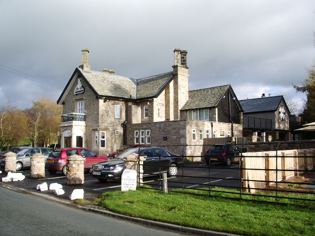
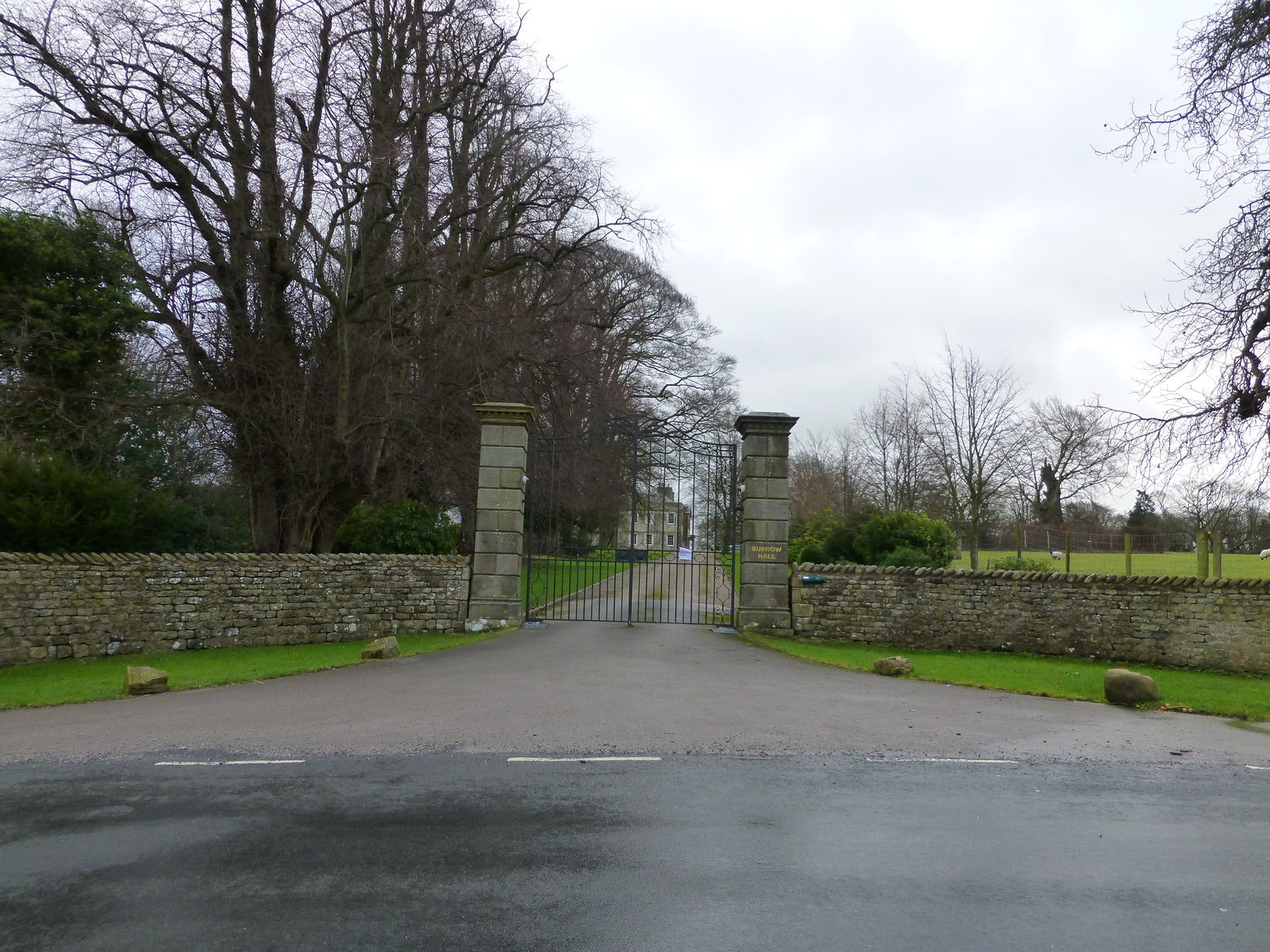
Keasber Hill Images

Images are sourced within 2km of 54.1685/-2.5795675 or Grid Reference SD6274. Thanks to Geograph Open Source API. All images are credited.

River Lune Ford This old  ford on the River Lune is found at Tunstall. Only the foolhardy would attempt a crossing here.
River Lune Ford
This old ford on the River Lune is found at Tunstall. Only the foolhardy would attempt a crossing here.
Benchmark, Cowdber Farm Detail of the Ordnance Survey cut benchmark on the north side of the barn door opening at Cowdber Farm.  The benchmark is not on the Ordnance Survey Database (location photograph <a href="https://www.geograph.org.uk/photo/7623506">SD6275 : The front of Cowdber Barn</a>).
Cowdber Farm is no longer a working farm and the barn has been converted into holiday accommodation.
Benchmark, Cowdber Farm
Detail of the Ordnance Survey cut benchmark on the north side of the barn door opening at Cowdber Farm. The benchmark is not on the Ordnance Survey Database (location photograph SD6275 : The front of Cowdber Barn). Cowdber Farm is no longer a working farm and the barn has been converted into holiday accommodation.
The front of Cowdber Barn Cowdber Farm is no longer a working farm and the barn has been converted into holiday accommodation.
There is an Ordnance Survey cut benchmark on the angle of the wall beyond the door (detail photograph <a href="https://www.geograph.org.uk/photo/7623470">SD6275 : Benchmark, Cowdber Farm</a>).
The front of Cowdber Barn
Cowdber Farm is no longer a working farm and the barn has been converted into holiday accommodation. There is an Ordnance Survey cut benchmark on the angle of the wall beyond the door (detail photograph SD6275 : Benchmark, Cowdber Farm).
Cowdber Barn Cowdber Farm is no longer a working farm and the barn has been converted into holiday accommodation.
There is an Ordnance Survey cut benchmark wall beyond the barn door (detail photograph <a href="https://www.geograph.org.uk/photo/7623470">SD6275 : Benchmark, Cowdber Farm</a>).
Cowdber Barn
Cowdber Farm is no longer a working farm and the barn has been converted into holiday accommodation. There is an Ordnance Survey cut benchmark wall beyond the barn door (detail photograph SD6275 : Benchmark, Cowdber Farm).
Ford near Burrow Hall This ford is on a farm access track between Over Burrow and Leck Beck Barn adjacent to the grounds of Burrow Hall, behind the high stone wall to the right.
A footbridge beside the wall on the northeast side of the ford is provided for the public footpath from Over Burrow to Cowan Bridge.
Ford near Burrow Hall
This ford is on a farm access track between Over Burrow and Leck Beck Barn adjacent to the grounds of Burrow Hall, behind the high stone wall to the right. A footbridge beside the wall on the northeast side of the ford is provided for the public footpath from Over Burrow to Cowan Bridge.
Seat on Woodman Lane The installation of this seat in commemoration of the Coronation of King Charles III was funded by the local community.  Slightly elevated on a stone and concrete plinth, it offers a distant view of the summit of Ingleborough.
The inscription on the seat is:
KING CHARLES III CORONATION 6 MAY 2023
The stone wall behind the seat bounds Burrow Deer Park.
Seat on Woodman Lane
The installation of this seat in commemoration of the Coronation of King Charles III was funded by the local community. Slightly elevated on a stone and concrete plinth, it offers a distant view of the summit of Ingleborough. The inscription on the seat is: KING CHARLES III CORONATION 6 MAY 2023 The stone wall behind the seat bounds Burrow Deer Park.
Footpath by Leck Beck The public footpath from Over Burrow to Cowan Bridge beside Leck Beck near High Gale.
Footpath by Leck Beck
The public footpath from Over Burrow to Cowan Bridge beside Leck Beck near High Gale.
Track and ditch near Leck Beck Barn A public footpath from Over Burrow to Cowan Bridge follows the track.
Track and ditch near Leck Beck Barn
A public footpath from Over Burrow to Cowan Bridge follows the track.
Stile beside Eller Beck This stile, leaning and on the point of collapse, beside Eller Beck near Low Gale is provided for the public footpath from Over Burrow to Cowan Bridge.
The fell in the left background is Brownthwaite, that in the right background is Cragareth.
Stile beside Eller Beck
This stile, leaning and on the point of collapse, beside Eller Beck near Low Gale is provided for the public footpath from Over Burrow to Cowan Bridge. The fell in the left background is Brownthwaite, that in the right background is Cragareth.
Sheep pens, Low Gale
Footpath gate This gate is on the public footpath from Collingholme to Cowan Bridge.
Footpath gate
This gate is on the public footpath from Collingholme to Cowan Bridge.
Field gateway near Collingholme
Roman road near Cowdber Farm This important Roman road went from Manchester via Ribchester, Tebay and Kirkby Thore where it crossed the roman road from Catterick to Carlisle, and on to the Roman fort at Carvoran on Hadrian’s Wall.
The road agger can be seen as a distinct ridge beside the hedge with the drainage ditch discernible beside it.
Roman road near Cowdber Farm
This important Roman road went from Manchester via Ribchester, Tebay and Kirkby Thore where it crossed the roman road from Catterick to Carlisle, and on to the Roman fort at Carvoran on Hadrian’s Wall. The road agger can be seen as a distinct ridge beside the hedge with the drainage ditch discernible beside it.
Cowdber Barn Cowdber Farm is no longer a working farm and the barn has been converted into holiday accommodation.
The access track is also a public footpath from Nether Burrow to Collingholme.
Cowdber Barn
Cowdber Farm is no longer a working farm and the barn has been converted into holiday accommodation. The access track is also a public footpath from Nether Burrow to Collingholme.
Track near Coulter Beck The track to Cowdber Farm is also the route of the public footpath from Nether Burrow to Collingholme.  Coulter Beck flows beside the hedge to the left.
The inspection hatches are for the Haweswater Aqueduct which crosses the track here.
Track near Coulter Beck
The track to Cowdber Farm is also the route of the public footpath from Nether Burrow to Collingholme. Coulter Beck flows beside the hedge to the left. The inspection hatches are for the Haweswater Aqueduct which crosses the track here.
Cattle and sheep grazing at Cantsfield Beck The animals graze in the sun while dark skies gather over Gragareth.
Cattle and sheep grazing at Cantsfield Beck
The animals graze in the sun while dark skies gather over Gragareth.
Grazing land near Cantsfield Looking towards Scaleber from near Longriggs Barn.
Grazing land near Cantsfield
Looking towards Scaleber from near Longriggs Barn.
Grazing land near Cantsfield Grazing sheep near Longriggs Barn.
Grazing land near Cantsfield
Grazing sheep near Longriggs Barn.
Show me another place!

Keasber Hill is located at Grid Ref: SD6274 (Lat: 54.1685, Lng: -2.5795675)

Administrative County: Lancashire

District: Lancaster

Police Authority: Lancashire

What 3 Words

///washing.punchy.butterfly. Near Kirkby Lonsdale, Cumbria

Related Wikis

Nether Burrow

Nether Burrow is a small hamlet in the Lunesdale Valley of North Lancashire, England. It is a small settlement on the banks of the River Lune. There is...

Burrow-with-Burrow

Burrow-with-Burrow is a civil parish in the English county of Lancashire. The parish of Burrow-with-Burrow had a population of 191 recorded in the 2001...

Burrow Hall

Burrow Hall is a large 18th-century country house in Burrow-with-Burrow, Lancashire, England, which lies in the Lune Valley on the A683 some 2 miles (3...

Over Burrow Roman Fort

Over Burrow Roman Fort is the modern name given to a former Roman fort at Over Burrow (or Burrow-in-Londsale), Lancashire in North West England. Today...

Nearby Amenities

Located within 500m of 54.1685,-2.5795675
Barrier: cattle_grid
Lat/Long: 54.1688721/-2.5760436
Barrier: cattle_grid
Lat/Long: 54.1680006/-2.5863546
Barrier: cattle_grid
Lat/Long: 54.1698649/-2.5824464
The data included in this document is from www.openstreetmap.org. The data is made available under ODbL.

Have you been to Keasber Hill?

Leave your review of Keasber Hill below (or comments, questions and feedback).