Cabin Hill
Hill, Mountain in Yorkshire Lancaster
England
Cabin Hill
Cabin Hill, located in the picturesque region of Yorkshire, England, is a small hill that offers stunning panoramic views of the surrounding countryside. Situated in the southern part of the county, Cabin Hill is part of the North York Moors National Park, renowned for its outstanding natural beauty and diverse wildlife.
Standing at an elevation of approximately 300 meters, Cabin Hill is not particularly high compared to other peaks in the area, but its location provides a unique vantage point to observe the rolling hills, lush valleys, and meandering rivers that characterize the Yorkshire landscape. The hill is covered in rich green vegetation, with patches of heather and bracken adding vibrant colors to the scenery.
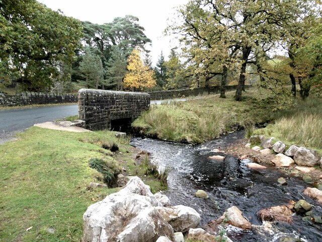
Cabin Hill is a popular destination for hikers and nature enthusiasts, offering various walking trails that cater to all levels of fitness and experience. The paths wind through ancient woodlands, open moorland, and babbling brooks, providing a tranquil and peaceful escape from the bustling city life.
Wildlife enthusiasts will be pleased to know that Cabin Hill is home to a variety of species, including deer, rabbits, badgers, and a wide range of birdlife. Lucky visitors may even catch a glimpse of the elusive red grouse, a bird native to the moorlands of Yorkshire.
Overall, Cabin Hill in Yorkshire is a hidden gem, offering breathtaking views, diverse wildlife, and a serene environment that makes it a must-visit destination for nature lovers and those seeking a tranquil retreat in the heart of the English countryside.
If you have any feedback on the listing, please let us know in the comments section below.
Cabin Hill Images
Images are sourced within 2km of 53.994194/-2.5774785 or Grid Reference SD6255. Thanks to Geograph Open Source API. All images are credited.


Cabin Hill is located at Grid Ref: SD6255 (Lat: 53.994194, Lng: -2.5774785)
Division: West Riding
Administrative County: Lancashire
District: Lancaster
Police Authority: Lancashire
What 3 Words
///divorcing.tinned.serves. Near Caton, Lancashire
Nearby Locations
Related Wikis

Brennand Farm
Brennand Farm is often claimed to be the true centre of Great Britain. This is about seven kilometres north-west of Dunsop Bridge - which has the nearest...

Grey Stone of Trough
The Grey Stone of Trough is an historic boundary marker in Bowland Forest High, in the Trough of Bowland, Lancashire, England. A Grade II listed structure...

Wolfhole Crag
Wolfhole Crag is an isolated and seldom-visited hill in the Forest of Bowland in Lancashire, England. Its seclusion is due in part to its low profile and...

Trough of Bowland
The Trough of Bowland is a valley and high pass in the Forest of Bowland Area of Outstanding Natural Beauty, Lancashire, England. The pass, reaching 968...
Nearby Amenities
Located within 500m of 53.994194,-2.5774785Have you been to Cabin Hill?
Leave your review of Cabin Hill below (or comments, questions and feedback).