Corbie Hillock
Hill, Mountain in Angus
Scotland
Corbie Hillock
Corbie Hillock, Angus, also known as Corbie Hill or Corbie Mountain, is a prominent hill located in the county of Angus in eastern Scotland. Standing at an elevation of approximately 530 meters (1,739 feet), it offers stunning panoramic views of the surrounding landscape.
The hill is situated near the town of Kirriemuir, renowned for being the birthplace of author J.M. Barrie, who created the beloved character Peter Pan. Corbie Hillock is a popular destination for hikers and nature enthusiasts due to its accessible trails and captivating scenery.
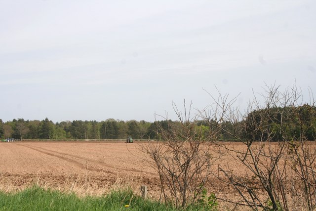
The ascent to the summit of Corbie Hillock is relatively straightforward, with a well-defined path guiding visitors through heather-clad slopes. The hill boasts a diverse range of flora and fauna, including wildflowers, birds, and occasional sightings of deer or hares.
Upon reaching the summit, visitors are rewarded with breathtaking views stretching across the rolling Angus countryside. On clear days, it is possible to see the majestic peaks of the Grampian Mountains to the north, while the fertile farmland of Strathmore unfolds to the south.
Corbie Hillock holds historical significance as well, with remnants of Iron Age hillforts and ancient burial cairns scattered across its slopes. These archaeological features serve as a reminder of the hill's long-standing importance to the local communities throughout the centuries.
Overall, Corbie Hillock, Angus, offers a captivating blend of natural beauty, historical intrigue, and magnificent vistas, making it a must-visit destination for those exploring the Angus region of Scotland.
If you have any feedback on the listing, please let us know in the comments section below.
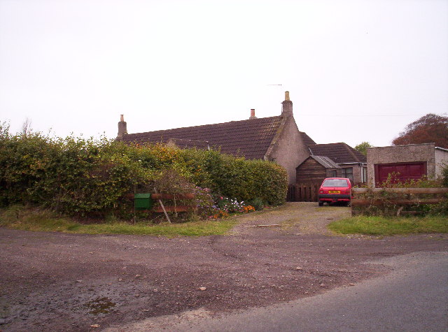
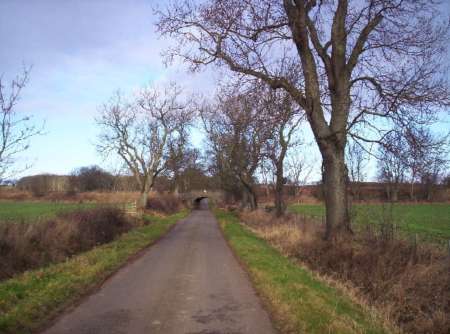
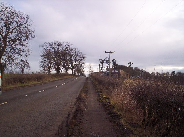
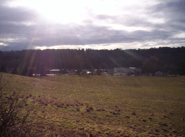
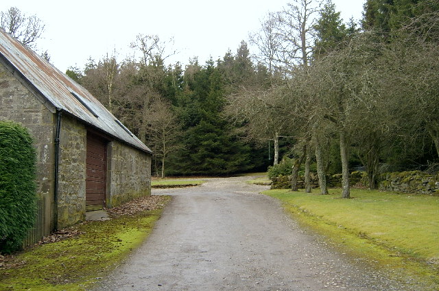
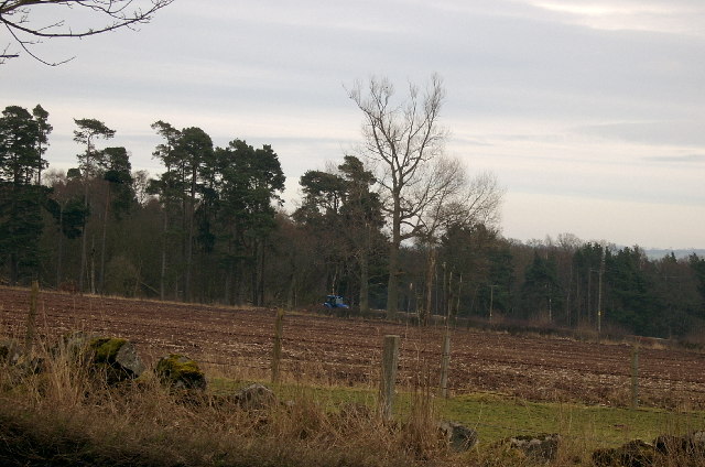
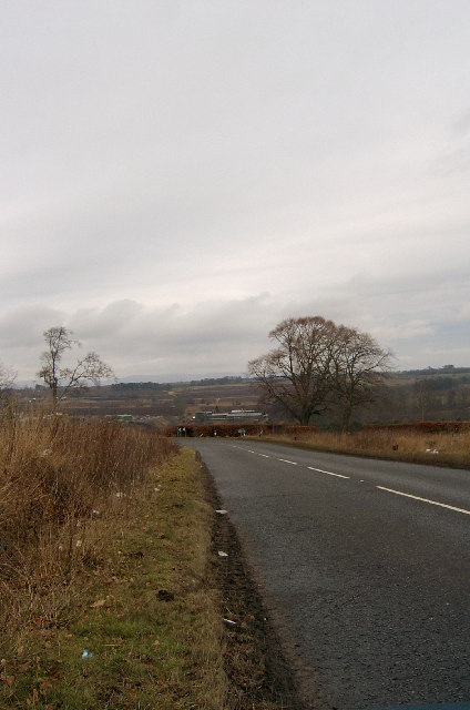
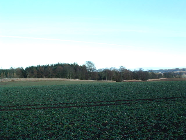
Corbie Hillock Images
Images are sourced within 2km of 56.71504/-2.6202918 or Grid Reference NO6258. Thanks to Geograph Open Source API. All images are credited.


Corbie Hillock is located at Grid Ref: NO6258 (Lat: 56.71504, Lng: -2.6202918)
Unitary Authority: Angus
Police Authority: Tayside
What 3 Words
///officer.stuff.opts. Near Brechin, Angus
Nearby Locations
Related Wikis

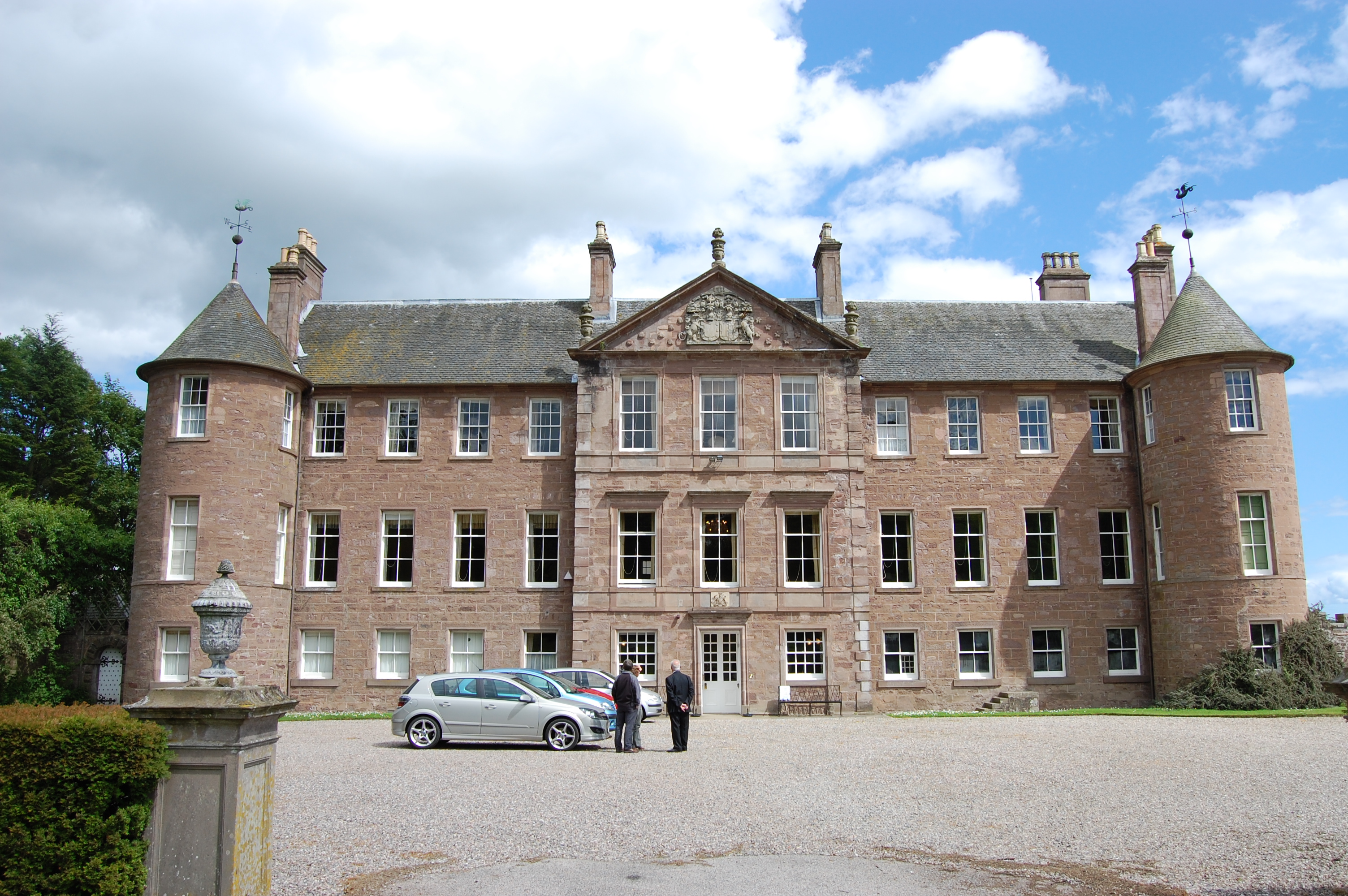
Kinnaird Castle, Brechin
Kinnaird Castle is a 15th-century castle near Brechin in Angus, Scotland. The castle has been home to the Carnegie family, the Earls of Southesk, for more...

Brechin Victoria F.C.
Brechin Victoria Junior Football Club are a Scottish Junior football club based in Brechin, Angus. Their home ground is Victoria Park. The club have recently...
Caledonian Railway (Brechin)
The Caledonian Railway (Brechin) Ltd is a private limited company formed by a group of steam railway enthusiasts, the Brechin Railway Preservation Society...
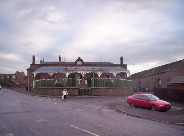
Brechin railway station
Brechin is a station in Angus, on the Caledonian Railway line. == History == The station opened for business on 1 February 1848. Initially four trains...

Brechin
Brechin (; Scottish Gaelic: Breichin) is a town and former Royal burgh in Angus, Scotland. Traditionally Brechin was described as a city because of its...

Farnell, Angus
Farnell is a village in Angus, Scotland. It lies 2 miles south of the River South Esk, between Brechin and Montrose, near Kinnaird Castle. == References ==
Brechin Castle
Brechin Castle is a castle in Brechin, Angus, Scotland. The castle was constructed in stone during the 13th century. Most of the current building dates...
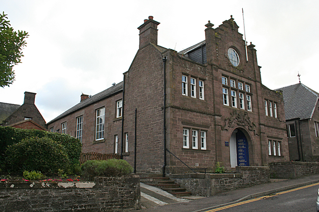
Bank Street drill hall, Brechin
The Bank Street drill hall is a former military installation in Brechin, Scotland. == History == The building was designed as the headquarters of the 7th...
Nearby Amenities
Located within 500m of 56.71504,-2.6202918Have you been to Corbie Hillock?
Leave your review of Corbie Hillock below (or comments, questions and feedback).