Mid Hill

Hill, Mountain in East Lothian

Scotland

Mid Hill

Upper Whiteadder Water The upper reaches of the Whiteadder Water in the Lammermuir Hills.
Upper Whiteadder Water Credit: Richard Webb

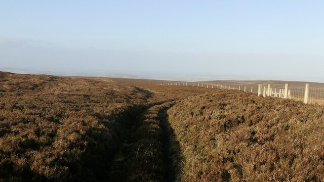
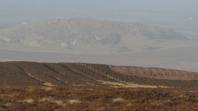
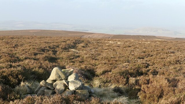
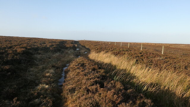
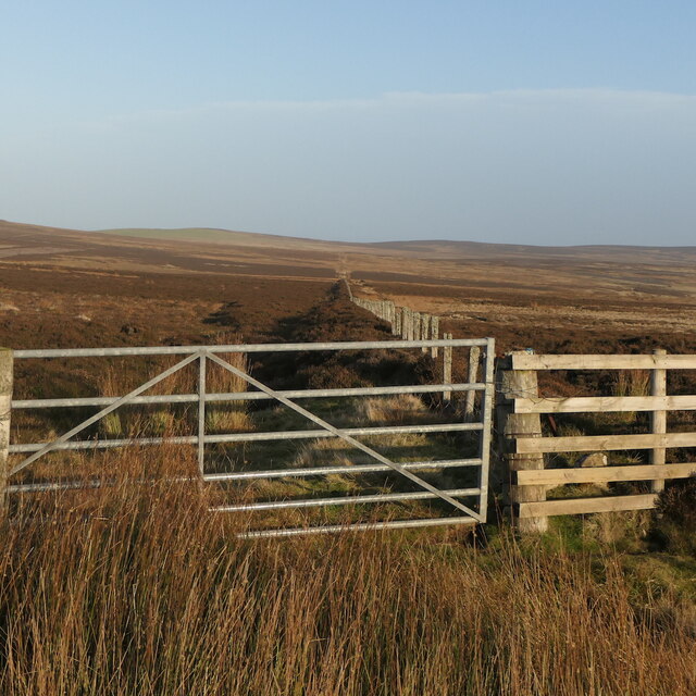
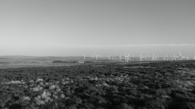
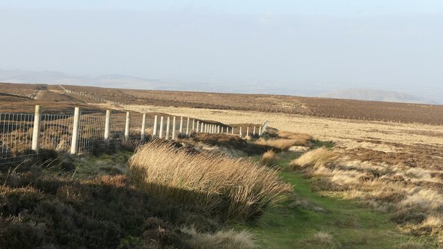
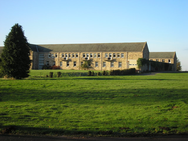
Mid Hill is a prominent hill located in East Lothian, Scotland. Standing at an elevation of approximately 233 meters (764 feet), it is a well-known landmark in the area. The hill is situated in an area of rolling countryside, offering picturesque views of the surrounding landscape.

Mid Hill is largely composed of sedimentary rocks, primarily sandstone and shale. These rocks have been shaped and sculpted by natural processes such as erosion and weathering over millions of years, resulting in the distinct features seen today. The hill's gentle slopes make it easily accessible to hikers and nature enthusiasts.

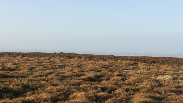
The area surrounding Mid Hill is rich in biodiversity, with a variety of plant and animal species inhabiting its slopes. The hill is covered with a mixture of grasses, heather, and shrubs, creating a diverse and colorful landscape. Birdwatchers can spot numerous species in the area, including buzzards, kestrels, and various songbirds.

Due to its relatively low elevation, Mid Hill is not classified as a mountain but rather a hill. Nevertheless, its commanding presence and panoramic views make it a popular destination for outdoor activities. Hikers and walkers can enjoy the numerous trails that crisscross the hill, taking in the stunning vistas as they explore the surrounding countryside.

Mid Hill is a significant feature of the East Lothian region, offering both recreational opportunities and a chance to appreciate the natural beauty of the area. Its accessibility and diverse flora and fauna make it a favored spot for locals and visitors alike.

If you have any feedback on the listing, please let us know in the comments section below.

Mid Hill Images

Images are sourced within 2km of 55.913874/-2.6109543 or Grid Reference NT6169. Thanks to Geograph Open Source API. All images are credited.

Upper Whiteadder Water The upper reaches of the Whiteadder Water in the Lammermuir Hills.
Upper Whiteadder Water
The upper reaches of the Whiteadder Water in the Lammermuir Hills.
Road to Garvald Climbing out of the Whiteadder catchment in the Lammermuir Hills. It is well surfaced at the moment but can at times be badly potholed.
Road to Garvald
Climbing out of the Whiteadder catchment in the Lammermuir Hills. It is well surfaced at the moment but can at times be badly potholed.
Track on Rook Law
Track on Rook Law
Track on Clints Dod
Track on Clints Dod
Gates, Clints Dod The ridge track is rather heathery from here northwards.
Gates, Clints Dod
The ridge track is rather heathery from here northwards.
Crystal Rig wind farm There was once a conifer plantation here, felled when the turbines went up. Trees are growing again.
Crystal Rig wind farm
There was once a conifer plantation here, felled when the turbines went up. Trees are growing again.
Sheep pens, Clints Dod Crystal Rig windfarm in the distance.
Sheep pens, Clints Dod
Crystal Rig windfarm in the distance.
Track on Clints Dod An old route with parallel gullies on the steeper bits suggesting usage over time. Now this section is little used and a bit heathery.
Track on Clints Dod
An old route with parallel gullies on the steeper bits suggesting usage over time. Now this section is little used and a bit heathery.
Summit area, Clints Dod A typical flat Lammermuir summit.
Summit area, Clints Dod
A typical flat Lammermuir summit.
Stoneypath to Johnscleugh track An old route over the Lammermuir Hills with Traprain Law in the background.
Stoneypath to Johnscleugh track
An old route over the Lammermuir Hills with Traprain Law in the background.
Cairn on Clints Dod
Cairn on Clints Dod
Track, Clints Dod An old route with parallel gullies on the steeper bits suggesting usage over time. Now this section is little used and a bit heathery.
Track, Clints Dod
An old route with parallel gullies on the steeper bits suggesting usage over time. Now this section is little used and a bit heathery.
Fence, Dunbar Common Running eastwards from Clints Dod.
Fence, Dunbar Common
Running eastwards from Clints Dod.
View towards Crystal Rig wind farm From Clints Dodd. Plenty of power today, it was very windy. Unusual to get such clarity in very mild weather.
View towards Crystal Rig wind farm
From Clints Dodd. Plenty of power today, it was very windy. Unusual to get such clarity in very mild weather.
Quadbike track, Lammermuir Hillsk On the east side of the Clints Dod fence. This side is used more by estate vehicles than the old road on the west of the fence which is now quite heathery. However it is a longer and wetter route
Quadbike track, Lammermuir Hillsk
On the east side of the Clints Dod fence. This side is used more by estate vehicles than the old road on the west of the fence which is now quite heathery. However it is a longer and wetter route
Path junction, Clints Dod Quadbike tracks on wet moorland.  View towards the Crystal Rig turbines.
Path junction, Clints Dod
Quadbike tracks on wet moorland. View towards the Crystal Rig turbines.
Moorland, Clints Dod View over Dunbar Common and the edge of the Crystal Rig wind farm.
Moorland, Clints Dod
View over Dunbar Common and the edge of the Crystal Rig wind farm.
Moorland, Clints Dod View of the Crystal Rig wind farm in the Lammermuir Hills.
Moorland, Clints Dod
View of the Crystal Rig wind farm in the Lammermuir Hills.
Show me another place!

Mid Hill is located at Grid Ref: NT6169 (Lat: 55.913874, Lng: -2.6109543)

Unitary Authority: East Lothian

Police Authority: The Lothians and Scottish Borders

What 3 Words

///straying.always.system. Near East Linton, East Lothian

Nearby Locations

Mid Hill

Related Wikis

Sancta Maria Abbey, Nunraw

Nunraw Abbey or Sancta Maria Abbey, Nunraw is a working Trappist (Ordo Cisterciensis Strictioris Observantiae) monastery. It was the first Cistercian house...

Stoneypath Tower

Stoneypath Tower, is an L-plan tower house dating from the late sixteenth century, about 3.5 miles (5.6 km) south of East Linton, and east of the Whittinghame...

Garvald, East Lothian

Garvald is a village south-east of Haddington in East Lothian, Scotland. It lies on the Papana Water south of the B6370, east of Gifford. The combined...

Pressmennan Lake

Pressmennan Lake is a lake in East Lothian in Scotland. It is an artificial reservoir constructed in 1819 by a Mr Nesbit who dammed the streams flowing...

Have you been to Mid Hill?

Leave your review of Mid Hill below (or comments, questions and feedback).