Blackrigg Foot
Hill, Mountain in Cumberland Carlisle
England
Blackrigg Foot

Blackrigg Foot is a prominent hill located in the county of Cumberland, England. Situated within the picturesque Lake District National Park, it forms part of the stunning landscape that attracts outdoor enthusiasts and nature lovers from all over the world.
Rising to an elevation of approximately 1,312 feet (400 meters), Blackrigg Foot offers breathtaking panoramic views of the surrounding countryside. Its distinctive shape and rocky outcrops make it easily recognizable in the area. The hill is covered in heather and grass, providing a vibrant and colorful display during the summer months.
The summit of Blackrigg Foot is accessible via a well-defined footpath, making it a popular destination for hikers and walkers. The ascent is moderate, offering a rewarding challenge for those seeking a bit of adventure. Once at the top, visitors are treated to stunning vistas of the nearby fells, valleys, and lakes.
The area surrounding Blackrigg Foot is also rich in wildlife, with a variety of bird species, including buzzards and kestrels, often spotted soaring above. The hill is also home to several species of small mammals, such as rabbits and voles, which can occasionally be seen scurrying through the undergrowth.
Blackrigg Foot is a hidden gem in the Lake District, offering a peaceful and tranquil escape from the hustle and bustle of modern life. Whether you're an avid hiker or simply enjoy the beauty of nature, a visit to this majestic hill is sure to leave a lasting impression.
If you have any feedback on the listing, please let us know in the comments section below.
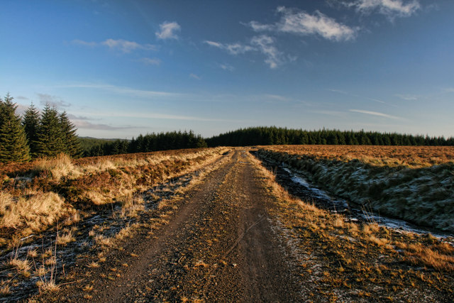
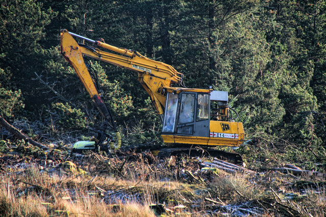
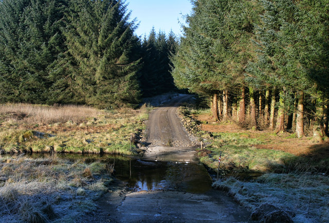
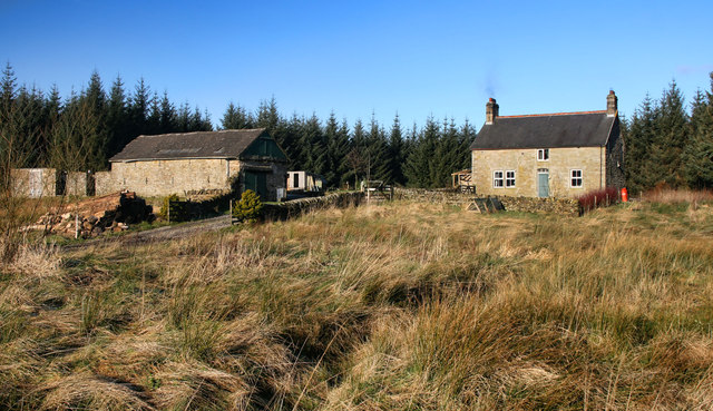
Blackrigg Foot Images
Images are sourced within 2km of 55.081058/-2.5989896 or Grid Reference NY6176. Thanks to Geograph Open Source API. All images are credited.


Blackrigg Foot is located at Grid Ref: NY6176 (Lat: 55.081058, Lng: -2.5989896)
Administrative County: Cumbria
District: Carlisle
Police Authority: Cumbria
What 3 Words
///snacking.inhaler.kilt. Near Greenhead, Northumberland
Nearby Locations
Related Wikis

Churnsike Lodge
Churnsike Lodge is an early Victorian hunting lodge situated in the parish of Greystead, West Northumberland, England. Constructed in 1850 by the Charlton...

Sighty Crag
Sighty Crag is a[hill in the southern part of the Kielder Forest region in northern England, a region which also includes its fellow Marilyns of Peel Fell...

Bewcastle Castle
Bewcastle Castle is a ruined castle in the parish of Bewcastle in the English county of Cumbria, a few miles from the Scottish border. == History == The...

Kingwater
Kingwater is a civil parish in City of Carlisle district, Cumbria, England. At the 2011 census it had a population of 170.The parish is bordered to the...
Nearby Amenities
Located within 500m of 55.081058,-2.5989896Have you been to Blackrigg Foot?
Leave your review of Blackrigg Foot below (or comments, questions and feedback).