Bunker's Hill

Hill, Mountain in Herefordshire

England

Bunker's Hill

Tarrington Church The church is dedicated to St Philip & St James, much of the church is Norman, however, the tower dates from the 15th century.
Tarrington Church Credit: Philip Halling

Bunker's Hill is a prominent landmark located in the county of Herefordshire, England. Situated near the village of Ewyas Harold, it is known for its commanding position and picturesque views of the surrounding countryside. Despite being referred to as a hill, Bunker's Hill is technically classified as a mountain, with an elevation of approximately 390 meters (1,280 feet) above sea level.

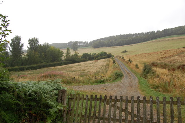
This natural feature is characterized by its distinctive shape, which resembles a dome. The hill is covered in lush green vegetation, including grasses, shrubs, and scattered trees, adding to its scenic beauty. It is a popular destination for outdoor enthusiasts, offering opportunities for hiking, nature walks, and picnicking. Visitors can enjoy panoramic vistas from the summit, which provide sweeping views of the Herefordshire countryside, including the nearby Black Mountains.

Bunker's Hill is also steeped in historical significance. It is believed to have been an Iron Age hillfort, providing defensive advantages due to its elevated position. Archaeological excavations have revealed pottery and other artifacts from this era, shedding light on the hill's ancient past. The surrounding area is dotted with other archaeological sites, further adding to the historical allure of the region.

Overall, Bunker's Hill in Herefordshire is a picturesque and historically significant mountain that offers visitors breathtaking views and a chance to explore the rich cultural heritage of the area.

If you have any feedback on the listing, please let us know in the comments section below.

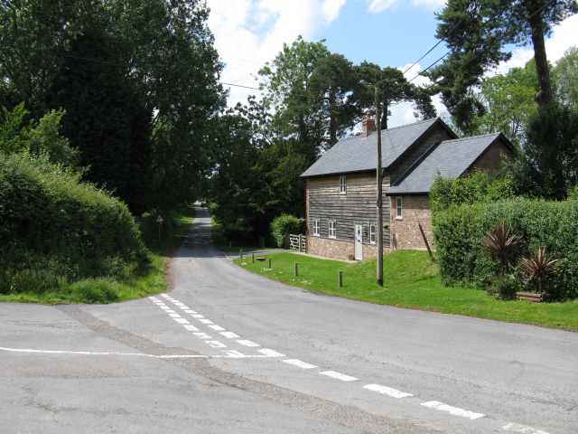
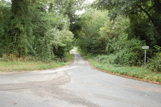
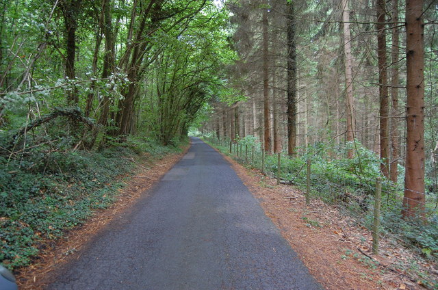
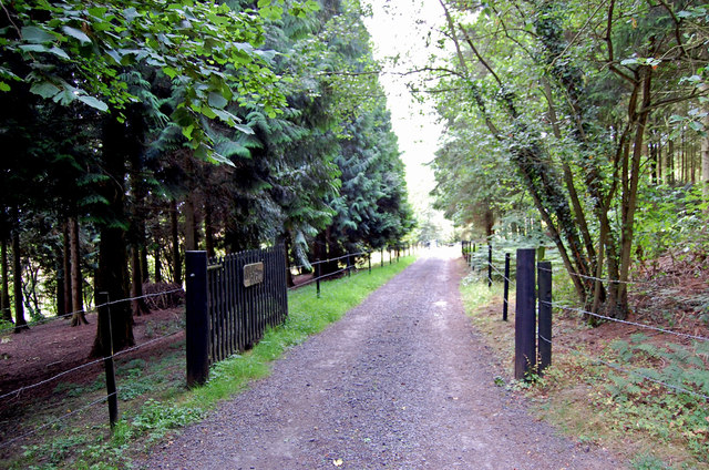
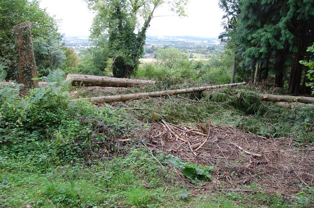
Bunker's Hill Images

Images are sourced within 2km of 52.045686/-2.5597187 or Grid Reference SO6138. Thanks to Geograph Open Source API. All images are credited.

Tarrington Church The church is dedicated to St Philip & St James, much of the church is Norman, however, the tower dates from the 15th century.
Tarrington Church
The church is dedicated to St Philip & St James, much of the church is Norman, however, the tower dates from the 15th century.
Tarrington Church The church is dedicated to St Philip & St James and dates back to Norman times.
Tarrington Church
The church is dedicated to St Philip & St James and dates back to Norman times.
St Philip and St James, Tarrington The North side, showing important Norman work
St Philip and St James, Tarrington
The North side, showing important Norman work
Ss. Philip and James' church, Tarrington Viewed from the west after a steepish walk up the footpath from School Road.
Ss. Philip and James' church, Tarrington
Viewed from the west after a steepish walk up the footpath from School Road.
War memorial cross in Tarrington churchyard On the public footpath through the churchyard.
War memorial cross in Tarrington churchyard
On the public footpath through the churchyard.
Ss. Philip and James' church, Tarrington Viewed from under a large yew tree in the south-east corner of the churchyard.
Ss. Philip and James' church, Tarrington
Viewed from under a large yew tree in the south-east corner of the churchyard.
Churchyard path and gate Looking away from the church between clipped yews to where the rector would have gained direct access to his place of work!
Churchyard path and gate
Looking away from the church between clipped yews to where the rector would have gained direct access to his place of work!
Ss. Philip and James' interior Plenty of light and colour in this village church.
Ss. Philip and James' interior
Plenty of light and colour in this village church.
Tarrington ringing chamber Unusually, the tower floor is lower than the rest of the church; ringers are generally used to being higher up than everyone else!
Tarrington ringing chamber
Unusually, the tower floor is lower than the rest of the church; ringers are generally used to being higher up than everyone else!
Cottage in Tarrington Village
Lane to Checkley
Lane to Checkley
Track towards Bunkers Hill
Lane through Park Coppice
Driveway to Hill Farm
Felled Trees near Tarrington Common
St Philip & St James Church, Tarrington Chancel and Nave 12th Century, originally with Apse, now gone. Tower rebuilt in 16th C. Six bells, the oldest from 1700's The Chancel arch is modern, but is on 12th C. piers with carved capitals.
St Philip & St James Church, Tarrington
Chancel and Nave 12th Century, originally with Apse, now gone. Tower rebuilt in 16th C. Six bells, the oldest from 1700's The Chancel arch is modern, but is on 12th C. piers with carved capitals.
The organ of Tarrington Church 2 Manual organ from Eustace Ingram 1878
The organ of Tarrington Church
2 Manual organ from Eustace Ingram 1878
The Grey Lady in Tarrington Church Located in the north wall of the chancel within a recess, the identity of this  effigy remains unknown. Circa 1350.
The Grey Lady in Tarrington Church
Located in the north wall of the chancel within a recess, the identity of this effigy remains unknown. Circa 1350.
Show me another place!

Bunker's Hill is located at Grid Ref: SO6138 (Lat: 52.045686, Lng: -2.5597187)

Unitary Authority: County of Herefordshire

Police Authority: West Mercia

What 3 Words

///investor.tokens.newsprint. Near Lugwardine, Herefordshire

Related Wikis

Alder's End

Alder's End is a small village in Herefordshire, England. It is about 8 miles (13 km) east of Hereford and is near the A438 road. The village falls within...

Tarrington

Tarrington is a small village in Herefordshire, England located halfway between Ledbury and Hereford on the A438 road. == The village == The village has...

Stoke Edith railway station

Stoke Edith railway station was a station in Tarrington, Herefordshire, England. The station served the nearby village of Stoke Edith, was opened in 1861...

Perton, Herefordshire

Perton is a hamlet in the English county of Herefordshire. It is in the civil parish of Stoke Edith being west of the village of that name. == External... ==

Nearby Amenities

Located within 500m of 52.045686,-2.5597187
Seagar Hill
Ele: 272
Natural: peak
Lat/Long: 52.0474259/-2.5643645
The data included in this document is from www.openstreetmap.org. The data is made available under ODbL.

Have you been to Bunker's Hill?

Leave your review of Bunker's Hill below (or comments, questions and feedback).