Buckles Hillock

Hill, Mountain in Kincardineshire

Scotland

Buckles Hillock

Craig of Harestone, North of Edzell Forest boundary to the right (South), deer fence in the centre and grouse moor to the left (North). Snow melting fast, temperature about 6 degrees C.
Craig of Harestone, North of Edzell Credit: David G Campbell

Buckles Hillock, located in Kincardineshire, Scotland, is a prominent hill/mountain that offers stunning views and a diverse range of natural features. Standing at an elevation of approximately 475 meters (1,558 feet), it is a popular destination for outdoor enthusiasts, hikers, and nature lovers.

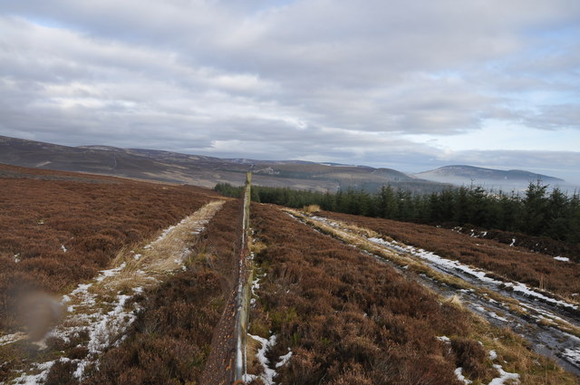
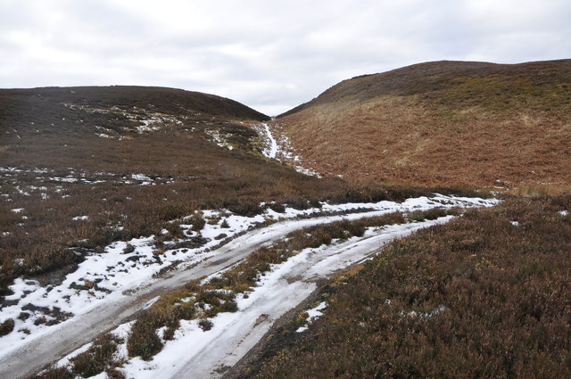
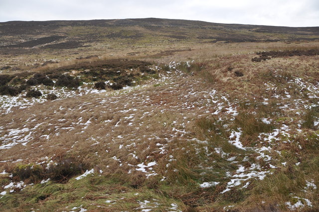
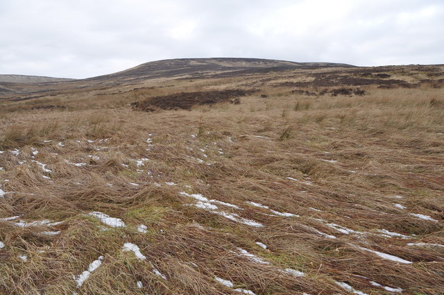
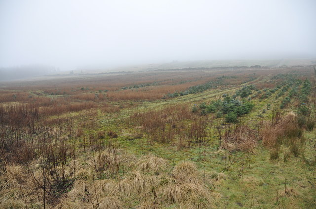
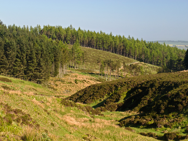
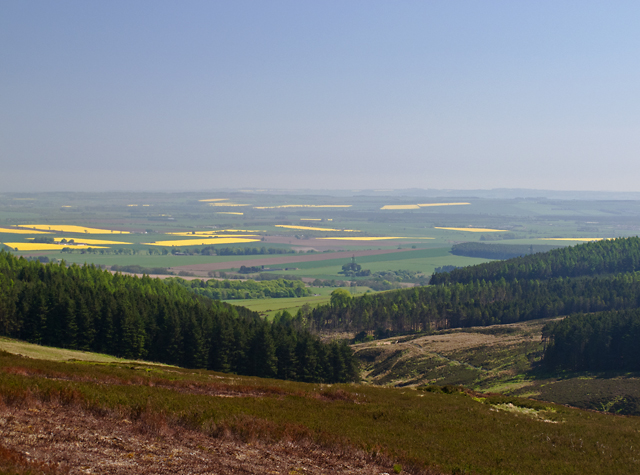
Buckles Hillock is characterized by its rolling terrain, which is covered with grass, heather, and shrubs. The hill/mountain is known for its distinctive shape, with a prominent summit that provides panoramic views of the surrounding landscape. On a clear day, visitors can admire the picturesque coastline, nearby hills, and the expansive North Sea.

The area surrounding Buckles Hillock is rich in biodiversity, with various plant and animal species calling it home. The hill/mountain provides a habitat for a range of bird species, including red grouse, golden eagles, and peregrine falcons, making it a popular spot for birdwatching.

The hill/mountain also boasts a network of walking trails, allowing visitors to explore its slopes and enjoy its natural beauty. These trails cater to different levels of difficulty, making Buckles Hillock accessible to both experienced hikers and beginners.

In addition to its natural attractions, Buckles Hillock holds historical significance. It is believed to have been a Bronze Age burial site, with several cairns and standing stones scattered across its slopes. These archaeological features add to the hill/mountain's charm and appeal.

Overall, Buckles Hillock is a captivating destination that offers a mix of natural beauty, recreational opportunities, and historical interest, making it a must-visit location for anyone exploring Kincardineshire.

If you have any feedback on the listing, please let us know in the comments section below.

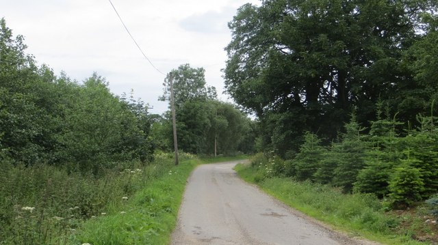
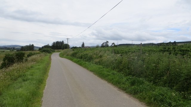
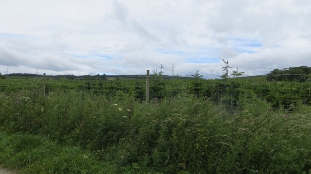
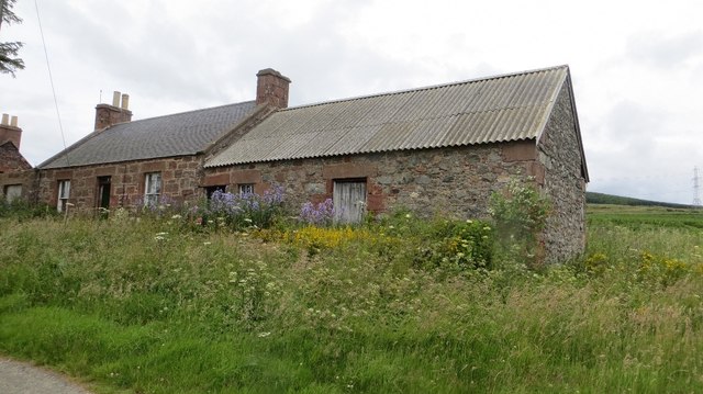
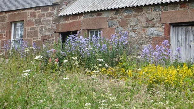
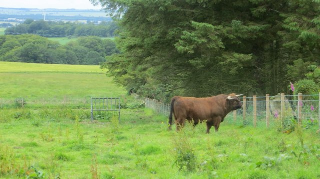
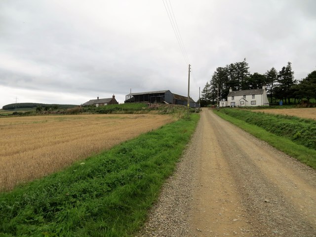
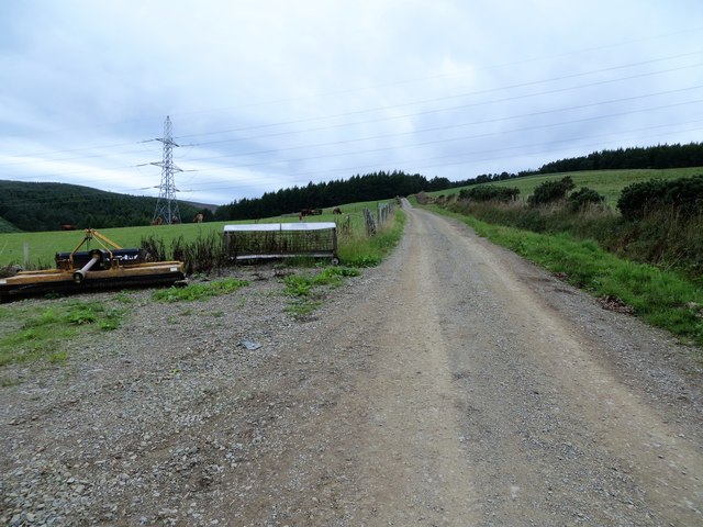
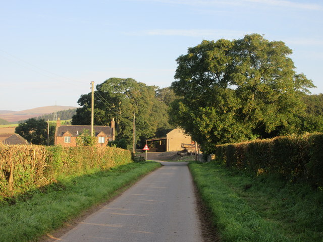
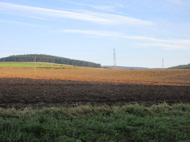
Buckles Hillock Images

Images are sourced within 2km of 56.870452/-2.6306065 or Grid Reference NO6175. Thanks to Geograph Open Source API. All images are credited.

Craig of Harestone, North of Edzell Forest boundary to the right (South), deer fence in the centre and grouse moor to the left (North). Snow melting fast, temperature about 6 degrees C.
Craig of Harestone, North of Edzell
Forest boundary to the right (South), deer fence in the centre and grouse moor to the left (North). Snow melting fast, temperature about 6 degrees C.
South of Bannock Hill, North of Edzell Track across centre, for access to grouse moorland, and a saddle between 2 small hills in the background.
South of Bannock Hill, North of Edzell
Track across centre, for access to grouse moorland, and a saddle between 2 small hills in the background.
Bannock Hill, North of Edzell Open moorland showing patchwork pattern of heather as a result of periodic burning of areas of the grouse moor.
Bannock Hill, North of Edzell
Open moorland showing patchwork pattern of heather as a result of periodic burning of areas of the grouse moor.
Moorland North of Edzell Open grassland, moorland and bogs, flattened grass still recovering from recent snowfalls.
Moorland North of Edzell
Open grassland, moorland and bogs, flattened grass still recovering from recent snowfalls.
Conifer Plantation, North of Edzell The Wood of Balfour lies in the mist just visible on the horizon, this plantation of young conifers may be a future extension of it.
Conifer Plantation, North of Edzell
The Wood of Balfour lies in the mist just visible on the horizon, this plantation of young conifers may be a future extension of it.
Wood of Mon Duff The Wood of Mon Duff, viewed along the course of the Burn of Cauldcots, which supplied the Fettercairn Distillery 4km to the south-east.
Wood of Mon Duff
The Wood of Mon Duff, viewed along the course of the Burn of Cauldcots, which supplied the Fettercairn Distillery 4km to the south-east.
Brunt Hill A view towards forestry plantations on Brunt Hill (left of image), with the patchwork field pattern of the Howe of the Mearns visible in the distance. Oil-seed rape fields are particularly prominent. Visibility is limited by extensive haze in a period of unusually warm weather.
Brunt Hill
A view towards forestry plantations on Brunt Hill (left of image), with the patchwork field pattern of the Howe of the Mearns visible in the distance. Oil-seed rape fields are particularly prominent. Visibility is limited by extensive haze in a period of unusually warm weather.
Christmas trees, Mains of Balnakettle It looks as if they are queuing to get loaded.
Christmas trees, Mains of Balnakettle
It looks as if they are queuing to get loaded.
Road, Mains of Balnakettle Christmas tree country.
Road, Mains of Balnakettle
Christmas tree country.
Road, Mains of Balfour A yellow road passes Christmas tree plantations.
Road, Mains of Balfour
A yellow road passes Christmas tree plantations.
Christmas trees, East Mains of Balfour
Hillhead Roadside ruin by Mains of Balfour.
Hillhead
Roadside ruin by Mains of Balfour.
Hillhead Flowers around the door and detail of the sandstone masonry.
Hillhead
Flowers around the door and detail of the sandstone masonry.
Highland bull Looking towards the promised land (field of cows across the burn).  By Hillhead near Fettercairn, Kincardineshire.
Highland bull
Looking towards the promised land (field of cows across the burn). By Hillhead near Fettercairn, Kincardineshire.
Upper Thainston Farm
Farm track at Upper Thainston
Approaching Nether Thainston The minor road heading towards Nether Thainston, with the Grieve's House on the left.
Approaching Nether Thainston
The minor road heading towards Nether Thainston, with the Grieve's House on the left.
Ploughed field at Thainston Ploughed field between Nether and Upper Thainston.
Ploughed field at Thainston
Ploughed field between Nether and Upper Thainston.
Show me another place!

Buckles Hillock is located at Grid Ref: NO6175 (Lat: 56.870452, Lng: -2.6306065)

Unitary Authority: Aberdeenshire

Police Authority: North East

What 3 Words

///trickle.developed.stem. Near Laurencekirk, Aberdeenshire

Related Wikis

Fasque House

Fasque, also known as Fasque House or Fasque Castle, is a mansion in Aberdeenshire, Scotland, situated near the village of Fettercairn, in the former county...

Fettercairn distillery

Fettercairn distillery is a whisky distillery in Fettercairn. Situated under the Grampian foothills in the Howe of Mearns, Fettercairn town’s name is...

Fettercairn

Fettercairn (, Scottish Gaelic: Fothair Chàrdain) is a small village in Aberdeenshire, Scotland, northwest of Laurencekirk in Aberdeenshire on the B966...

Kincardine, Aberdeenshire

Kincardine was a burgh in Scotland, near the present-day village of Fettercairn. It served as the first county town of Kincardineshire. The settlement...

Have you been to Buckles Hillock?

Leave your review of Buckles Hillock below (or comments, questions and feedback).