Bogcoup
Hill, Mountain in Aberdeenshire
Scotland
Bogcoup
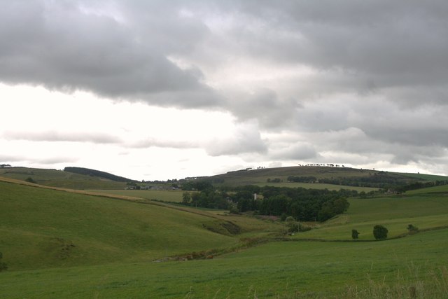
Bogcoup is a small hill located in Aberdeenshire, Scotland. Situated in the Grampian Mountains, it is part of the vast and picturesque landscape of the region. Although not one of the tallest peaks in the area, Bogcoup offers stunning panoramic views of the surrounding countryside.
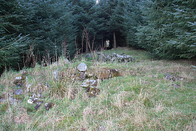
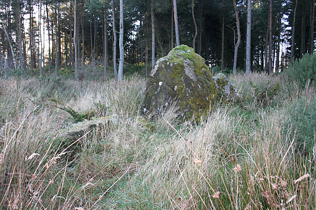
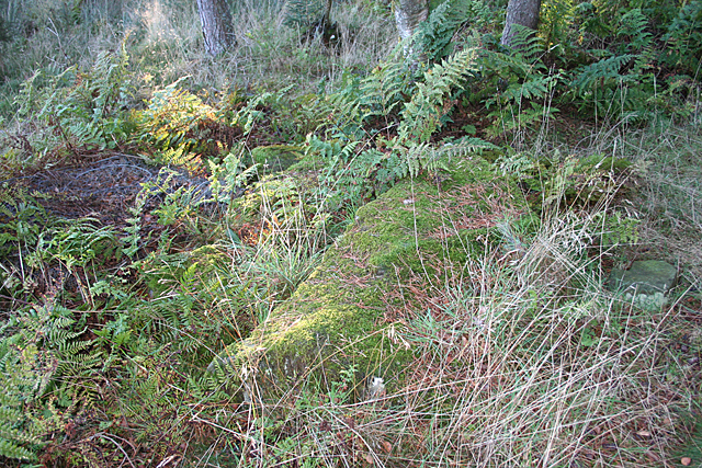
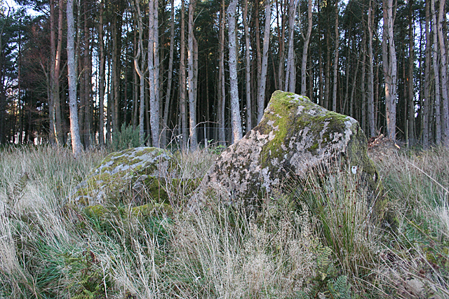
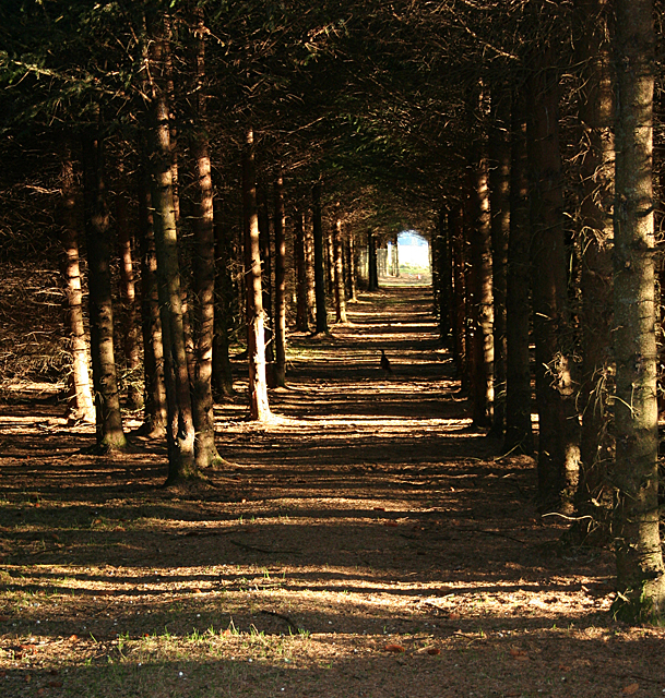
The hill is characterized by its gentle slopes and rolling green fields, making it a popular destination for hikers and nature enthusiasts. The terrain is mainly covered in heather and grass, with scattered patches of woodland and rocky outcrops. At the summit, visitors are rewarded with breathtaking vistas of the nearby towns and villages, as well as the expansive valleys and distant hills.
Bogcoup is known for its rich biodiversity, with a variety of flora and fauna calling it home. The hill is home to a range of bird species, including golden eagles, peregrine falcons, and red grouse. Other wildlife such as red deer, mountain hares, and Scottish wildcats can also be spotted in the surrounding area.
The hill is easily accessible, with several walking trails leading to its summit. These paths are well-maintained, making them suitable for hikers of all skill levels. The ascent can be completed within a few hours, making it a popular choice for a day trip or a leisurely hike.
Overall, Bogcoup is a picturesque and accessible hill in Aberdeenshire, offering visitors a chance to experience the natural beauty and tranquility of the Scottish Highlands.
If you have any feedback on the listing, please let us know in the comments section below.
Bogcoup Images
Images are sourced within 2km of 57.469882/-2.6484689 or Grid Reference NJ6142. Thanks to Geograph Open Source API. All images are credited.


Bogcoup is located at Grid Ref: NJ6142 (Lat: 57.469882, Lng: -2.6484689)
Unitary Authority: Aberdeenshire
Police Authority: North East
What 3 Words
///strategy.twit.sparkle. Near Huntly, Aberdeenshire
Nearby Locations
Related Wikis

Frendraught Castle
Frendraught Castle or House is a 17th-century house, about 6 miles (9.7 km) east of Huntly, Aberdeenshire, Scotland, and 1 mile (1.6 km) west of Largue...
Forgue
Forgue is a hamlet in Aberdeenshire. It lies 35 miles (56 km) northwest of Aberdeen and 8 miles (13 km) northeast of Huntly. The Glendronach distillery...
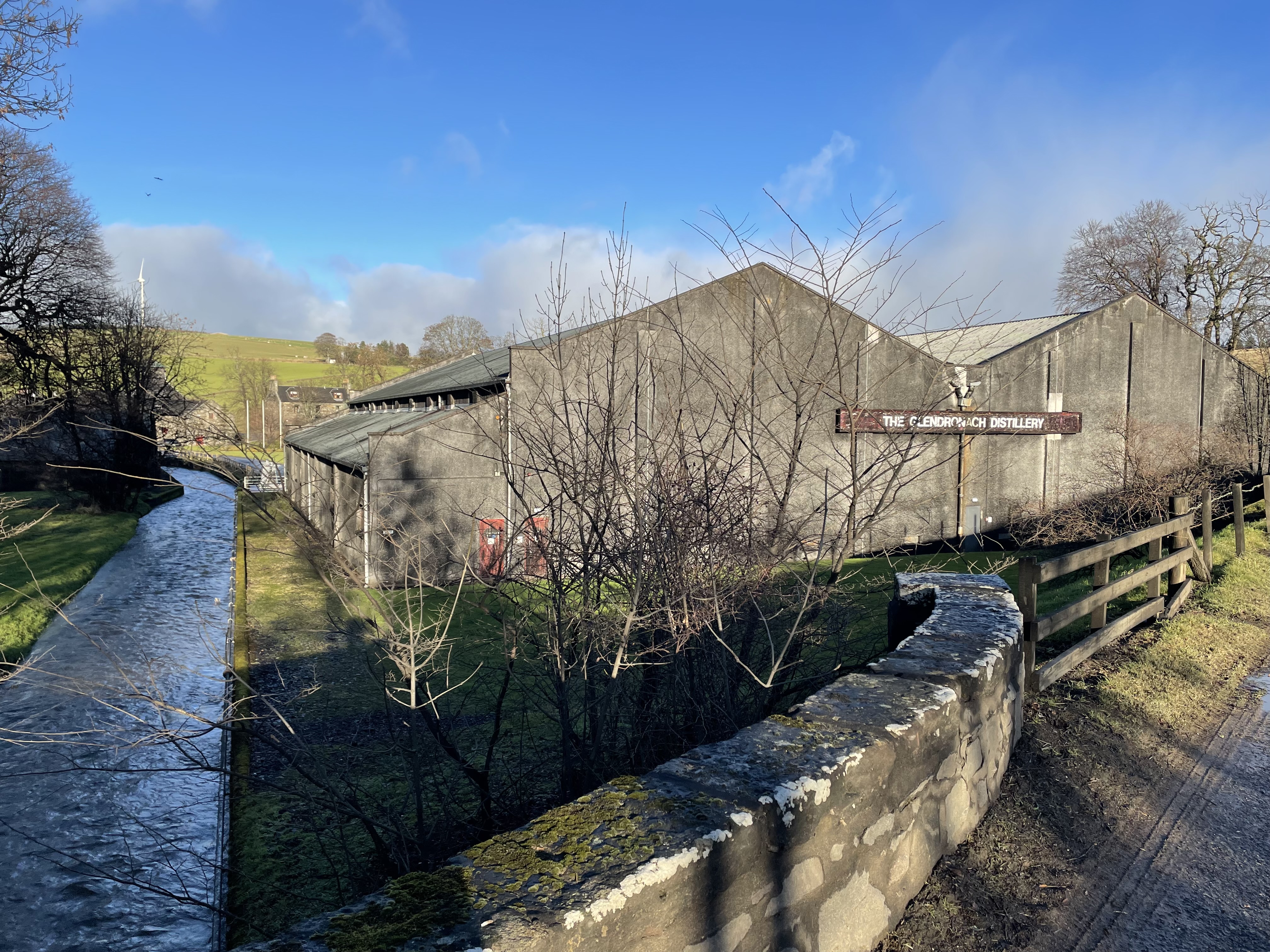
Glendronach distillery
Glendronach distillery is a Scottish whisky distillery located near Forgue, by Huntly, Aberdeenshire, in the Highland whisky district. It was owned by...

Bogniebrae
Bogniebrae () is a small rural settlement in Aberdeenshire, Scotland. It is located at the junction of the A97 and B9001 roads, six miles (ten kilometres...
Nearby Amenities
Located within 500m of 57.469882,-2.6484689Have you been to Bogcoup?
Leave your review of Bogcoup below (or comments, questions and feedback).