Horsley Hill
Hill, Mountain in Gloucestershire Forest of Dean
England
Horsley Hill

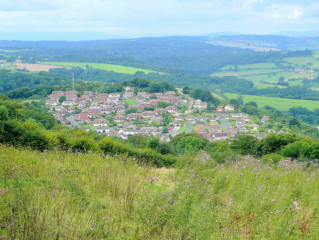
Horsley Hill is a prominent hill located in the county of Gloucestershire, England. It is situated near the village of Horsley, between the towns of Stroud and Nailsworth. The hill is part of the Cotswolds Area of Outstanding Natural Beauty, renowned for its picturesque landscapes and unique geological features.
Standing at an elevation of approximately 216 meters (709 feet), Horsley Hill offers breathtaking panoramic views of the surrounding countryside. Its summit is adorned with lush greenery, including patches of woodland and fields that contribute to the area's natural beauty. The hill is often frequented by hikers, nature enthusiasts, and locals seeking a peaceful retreat away from the bustling towns nearby.
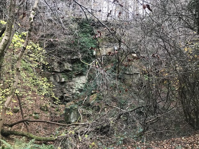
The hill's geological composition is predominantly limestone, which is typical of the Cotswolds region. This limestone provides a fertile ground for diverse flora and fauna to thrive, making Horsley Hill a haven for wildlife. Visitors can spot various species of birds, small mammals, and rare plants while exploring the hill's numerous footpaths and trails.
In addition to its natural attractions, Horsley Hill has historical significance as well. The area has evidence of human occupation dating back to the Iron Age, with remnants of ancient settlements and burial mounds found on its slopes. These archaeological finds contribute to the hill's cultural heritage and offer insights into the region's past.
Overall, Horsley Hill in Gloucestershire is a captivating destination that combines natural beauty, biodiversity, and historical significance. Its stunning views, rich wildlife, and cultural heritage make it a must-visit location for anyone seeking a tranquil and immersive experience in the heart of the Cotswolds.
If you have any feedback on the listing, please let us know in the comments section below.
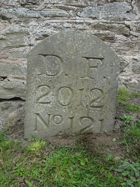
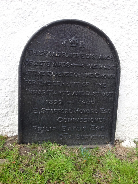
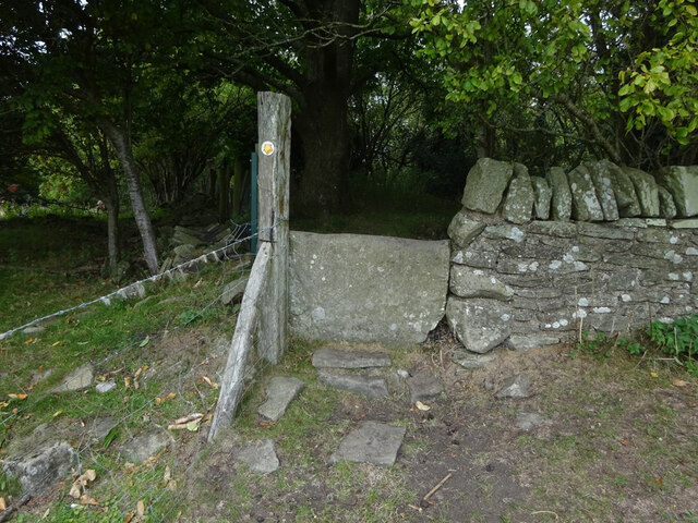
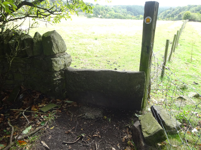
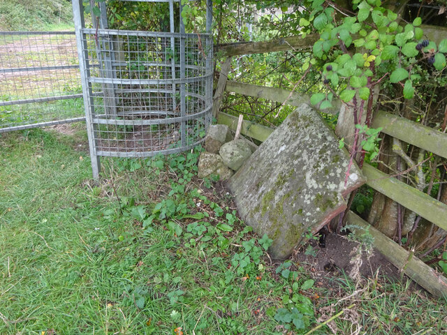
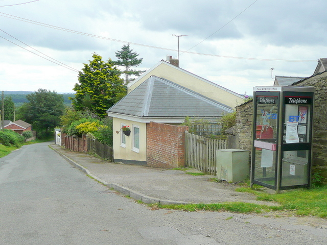
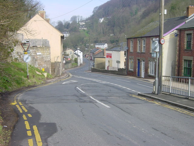
Horsley Hill Images
Images are sourced within 2km of 51.842395/-2.5668746 or Grid Reference SO6116. Thanks to Geograph Open Source API. All images are credited.


Horsley Hill is located at Grid Ref: SO6116 (Lat: 51.842395, Lng: -2.5668746)
Administrative County: Gloucestershire
District: Forest of Dean
Police Authority: Gloucestershire
What 3 Words
///pods.permit.blend. Near Lydbrook, Gloucestershire
Nearby Locations
Related Wikis
The Pludds
The Pludds is a hamlet in the Forest of Dean, Gloucestershire, England (grid reference SO617161). Lydbrook and Joys Green are to the west, Ruardean is...

Upper Lydbrook railway station
Upper Lydbrook railway station served the civil parish of Lydbrook, Gloucestershire, England, from 1875 to 1929 on the Severn and Wye Railway. == History... ==
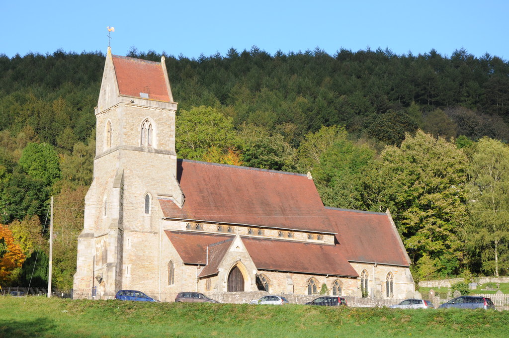
Holy Jesus Church, Lydbrook
Holy Jesus Church at Lydbrook is a Church of England parish church in the English county of Gloucestershire. == Structure == The greater part of the church...
Joys Green, Gloucestershire
Joy's Green is a village in the Forest of Dean in West Gloucestershire, England. The village is in the civil parish of the neighbouring village of Lydbrook...
Lydbrook
Lydbrook is a civil parish in the Forest of Dean, a local government district in the English county of Gloucestershire and is located in the Wye Valley...

Sarah Siddons' House
Sarah Siddons' House, also called the Old House, is a cottage in the village of Lydbrook, Gloucestershire, England. A Grade II* listed building, the cottage...
Lower Lydbrook railway station
Lower Lydbrook railway station served the civil parish of Lydbrook, Gloucestershire, England, from 1875 to 1903 on the Severn and Wye Railway. == History... ==
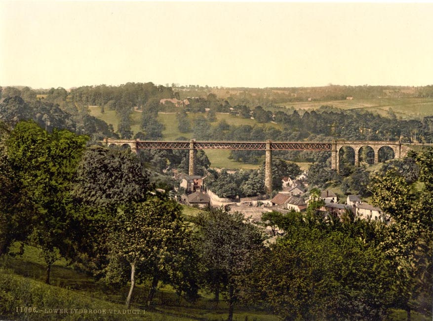
Lower Lydbrook Viaduct
The Lower Lydbrook Viaduct was an iron railway viaduct with stone piers, it was on the Severn and Wye Railway and situated in Lower Lydbrook, Gloucestershire...
Nearby Amenities
Located within 500m of 51.842395,-2.5668746Have you been to Horsley Hill?
Leave your review of Horsley Hill below (or comments, questions and feedback).