Corse Hill

Hill, Mountain in Angus

Scotland

Corse Hill

View to East Haven The view is taken from the track which leads down to the railway line.  It looks south west towards East Haven, the promontory of Buddon Ness and the distant hills of Fife.
View to East Haven Credit: Val Vannet

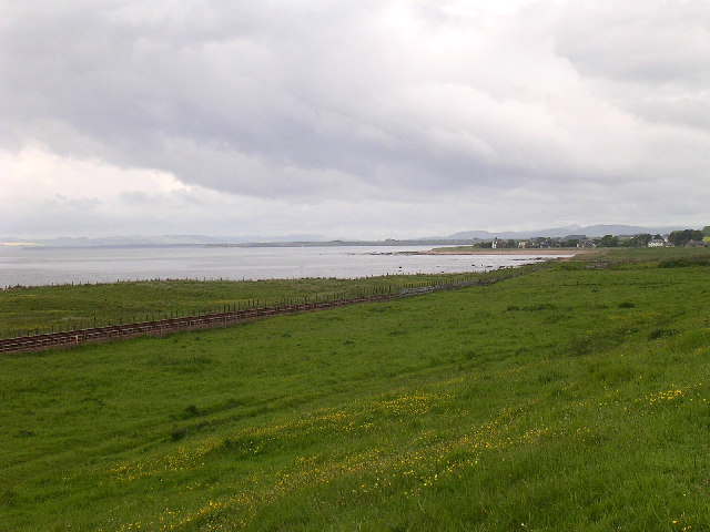
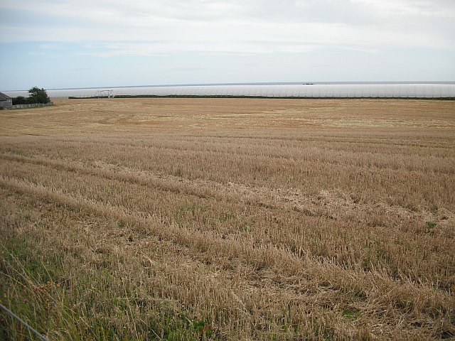
Corse Hill is a prominent hill located in Angus, Scotland. It is part of the larger Sidlaw Hills range, which stretches across the southern region of the county. Standing at an elevation of 498 meters (1,634 feet), Corse Hill offers breathtaking views of the surrounding countryside and neighboring peaks.

The hill is characterized by its gently sloping grassy slopes, which make it a popular destination for hikers and nature enthusiasts. The summit of Corse Hill is marked by a cairn, a traditional pile of stones used as a landmark, which provides a convenient spot for visitors to rest and admire the panoramic vistas.

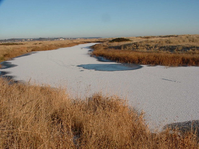
The area around Corse Hill is rich in natural beauty and biodiversity. The hill is covered in a patchwork of heather moorland, interspersed with areas of native woodland. This diverse habitat supports a wide range of flora and fauna, including heather, bilberry, and various species of birds and small mammals.

In addition to its natural attractions, Corse Hill also has historical significance. The remains of an Iron Age hill fort, known as Finavon Castle, can be found on its slopes. This ancient structure offers a glimpse into the area's past and provides an interesting archaeological site for visitors to explore.

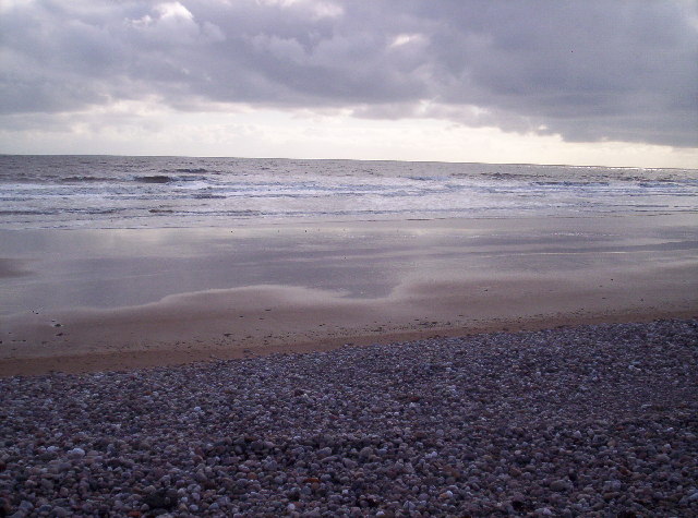
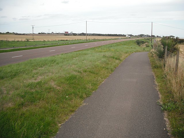
Corse Hill is easily accessible and is a popular destination for outdoor activities such as hiking, picnicking, and wildlife spotting. Its stunning views, combined with its historical and ecological importance, make it a must-visit location for those seeking an immersive experience in the Angus countryside.

If you have any feedback on the listing, please let us know in the comments section below.
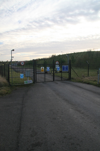
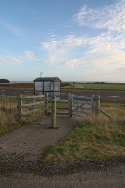
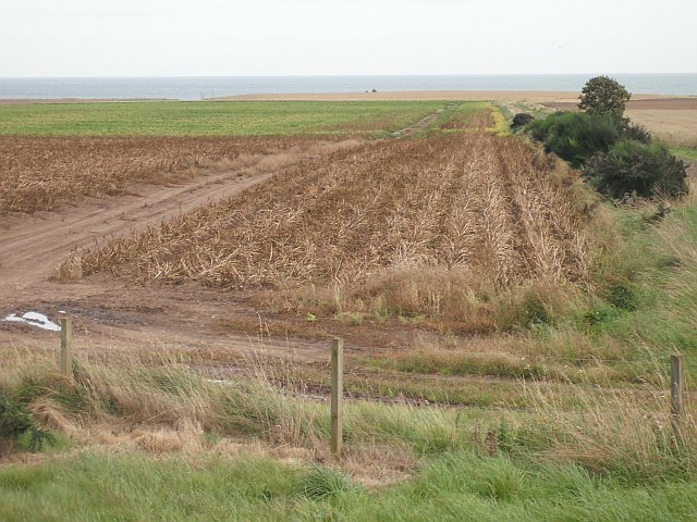
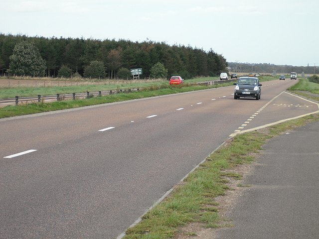
Corse Hill Images

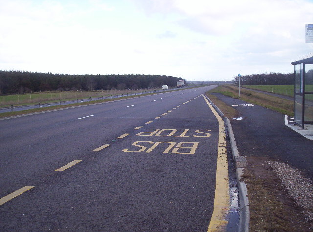
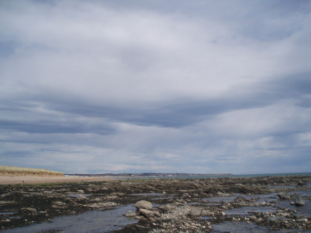
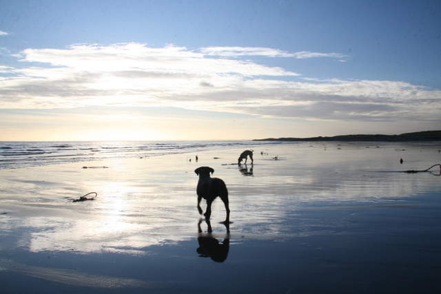
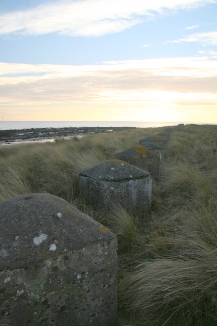
Images are sourced within 2km of 56.527262/-2.6404971 or Grid Reference NO6037. Thanks to Geograph Open Source API. All images are credited.

View to East Haven The view is taken from the track which leads down to the railway line.  It looks south west towards East Haven, the promontory of Buddon Ness and the distant hills of Fife.
View to East Haven
The view is taken from the track which leads down to the railway line. It looks south west towards East Haven, the promontory of Buddon Ness and the distant hills of Fife.
The Elliot Water Pictured is the frozen Elliot water which is an abandoned river meander. It is situated in amongst a sand dune system between a railway line and a sandy beach.
The Elliot Water
Pictured is the frozen Elliot water which is an abandoned river meander. It is situated in amongst a sand dune system between a railway line and a sandy beach.
Old Road and East Coast Railway Line This was taken from the level crossing near the golf clubhouse. The old road used to lead to a chemical works which was demolished and the bricks now litter the beach. The railway line is the main east coast line.
Old Road and East Coast Railway Line
This was taken from the level crossing near the golf clubhouse. The old road used to lead to a chemical works which was demolished and the bricks now litter the beach. The railway line is the main east coast line.
Beach near Arbroath Golf Course
Bus Stop on the New A92 Arbroath to Dundee Dual Carriageway
Small inlet in rocks SW of Hatton Airfield
Looking towards Arbroath The rocks give way to sand. Arbroath harbour and the start of the cliffs at Seaton can be made out in the distance.
Looking towards Arbroath
The rocks give way to sand. Arbroath harbour and the start of the cliffs at Seaton can be made out in the distance.
Railway Sea defence Each block is numbered, presumably to aid construction? The railway runs close to the coast and at this point comes right to the beach.
Railway Sea defence
Each block is numbered, presumably to aid construction? The railway runs close to the coast and at this point comes right to the beach.
Coastline near Elliot
Military coastal defences near Carnoustie
Entrance to watertreatment works
Bus shelter on A92
Bus shelter on A92
Potato field, Nether Kelly The leaves have been killed off by spraying with sulphuric acid prior to harvest.
Potato field, Nether Kelly
The leaves have been killed off by spraying with sulphuric acid prior to harvest.
A92, Three Mile Wood Dundee - Arbroath road, now a dual carriageway.
A92, Three Mile Wood
Dundee - Arbroath road, now a dual carriageway.
Stubble by Balcathie Stubble field beside the A92 with some polytunnels in the background.
Stubble by Balcathie
Stubble field beside the A92 with some polytunnels in the background.
Cycle path beside the A92 Purpose built path beside the newly widened A92.
Cycle path beside the A92
Purpose built path beside the newly widened A92.
Polytunnels, Elliot Tunnels that sheltered soft fruit. On the left there is a potato field which has been treated with sulphuric acid to kill off the leaves.
Polytunnels, Elliot
Tunnels that sheltered soft fruit. On the left there is a potato field which has been treated with sulphuric acid to kill off the leaves.
Underpass, Balcathie Underpass linking farmland on either side of the A92.
Underpass, Balcathie
Underpass linking farmland on either side of the A92.
Show me another place!

Corse Hill is located at Grid Ref: NO6037 (Lat: 56.527262, Lng: -2.6404971)

Unitary Authority: Angus

Police Authority: Tayside

What 3 Words

///sponge.spirit.stems. Near Carnoustie, Angus

Nearby Locations

Corse Hill

Related Wikis

Inverpeffer

Inverpeffer (Scottish Gaelic: Inbhir Pheofhair, lit. 'Mouth of the shining/beautiful stream') was a hamlet that once existed in Angus, Scotland until around...

RNAS East Haven (HMS Peewit)

Royal Naval Air Station East Haven (RNAS East Haven, also known as HMS Peewit) is a former Royal Navy, Fleet Air Arm station, situated 3 miles (5 km) south...

Elliot Water

The Elliot Water is a minor river in Angus, Scotland. The Elliot rises near West Hills in Carmyllie and flows through the parish and village of Arbirlot...

East Haven, Angus

East Haven is a fishing village in the council area of Angus, Scotland. It is situated 1.5 miles (2 km) east of Carnoustie and 5 miles (8 km) south west...

Nearby Amenities

Located within 500m of 56.527262,-2.6404971
Created By: almien_coastlines
Source: PGS
Lat/Long: 56.528051/-2.633924
Railway: level_crossing
Lat/Long: 56.5251135/-2.6441191
Railway: level_crossing
Lat/Long: 56.5250867/-2.6440755
The data included in this document is from www.openstreetmap.org. The data is made available under ODbL.

Have you been to Corse Hill?

Leave your review of Corse Hill below (or comments, questions and feedback).